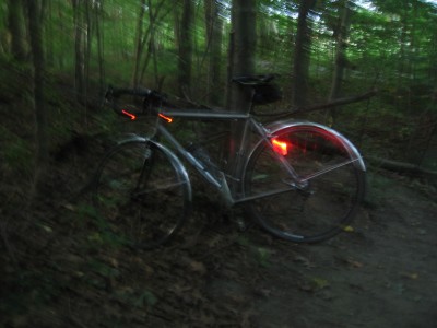
Chill in the air this morning. Quick loop around the bay. Wanted to take on some dirt climbing – but chilled in the hollows enroute – rolled it back short to stay warm.


Vermont to Switzerland

Chill in the air this morning. Quick loop around the bay. Wanted to take on some dirt climbing – but chilled in the hollows enroute – rolled it back short to stay warm.


Comments are closed.
Hey Mike,
I was in Vermont this past weekend in and around Chester and Dover, and I noticed many dirt roads leaving from the main roads. They were all marked TH#n as in TH#39 or TH#38 etc. Some looked pretty interesting, but I didn’t have time to explore. Do you know if any of these are mapped online anywhere? Google maps wasn’t any help. Maybe you might know from your dirt exploration farther north in Vermont. I have to admit that I envy the ready access to dirt roads you have in VT. Roads in eastern Massachusetts are exceedingly tame; hardly any dirt at all.
Steve – I’m pretty sure those roads are ‘Town Highway’ roads. Many are dirt, some are paved.
A Vermont Gazetteer has been a big help to me when route making / finding. I use GoogleMaps, sometimes switching to the sat. photos, and I’ll double check on the new Bing maps from Microsoft (online, similar to MapQuest or Google) – often these align, sometimes not. I’m also using BikeRouteToaster – which has several data sources for the maps. Clicking ‘cycle’ often will show slightly different paths or roads to choose.
Sometimes though you just need to head out and ride… 😉
I recently found the Vermont Roads site. Looks promising. The map sets they offer are spendy – if I had the $$ I’d buy the print set and the CD.
Steve –
A bit more research turned up something in the obvious place – the Agency of Transportation! Pull down from the town list and open a PDF file of local roads.