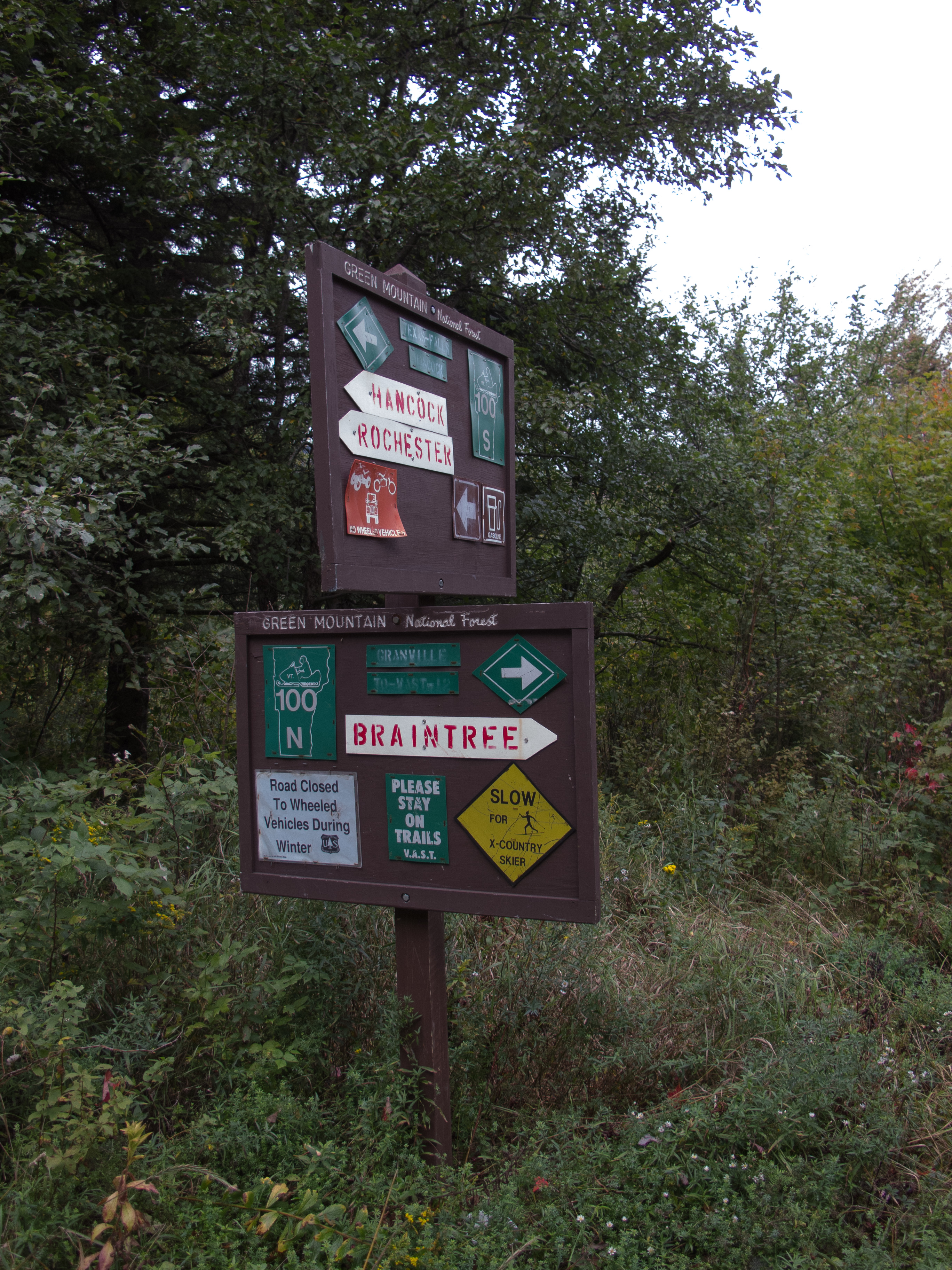
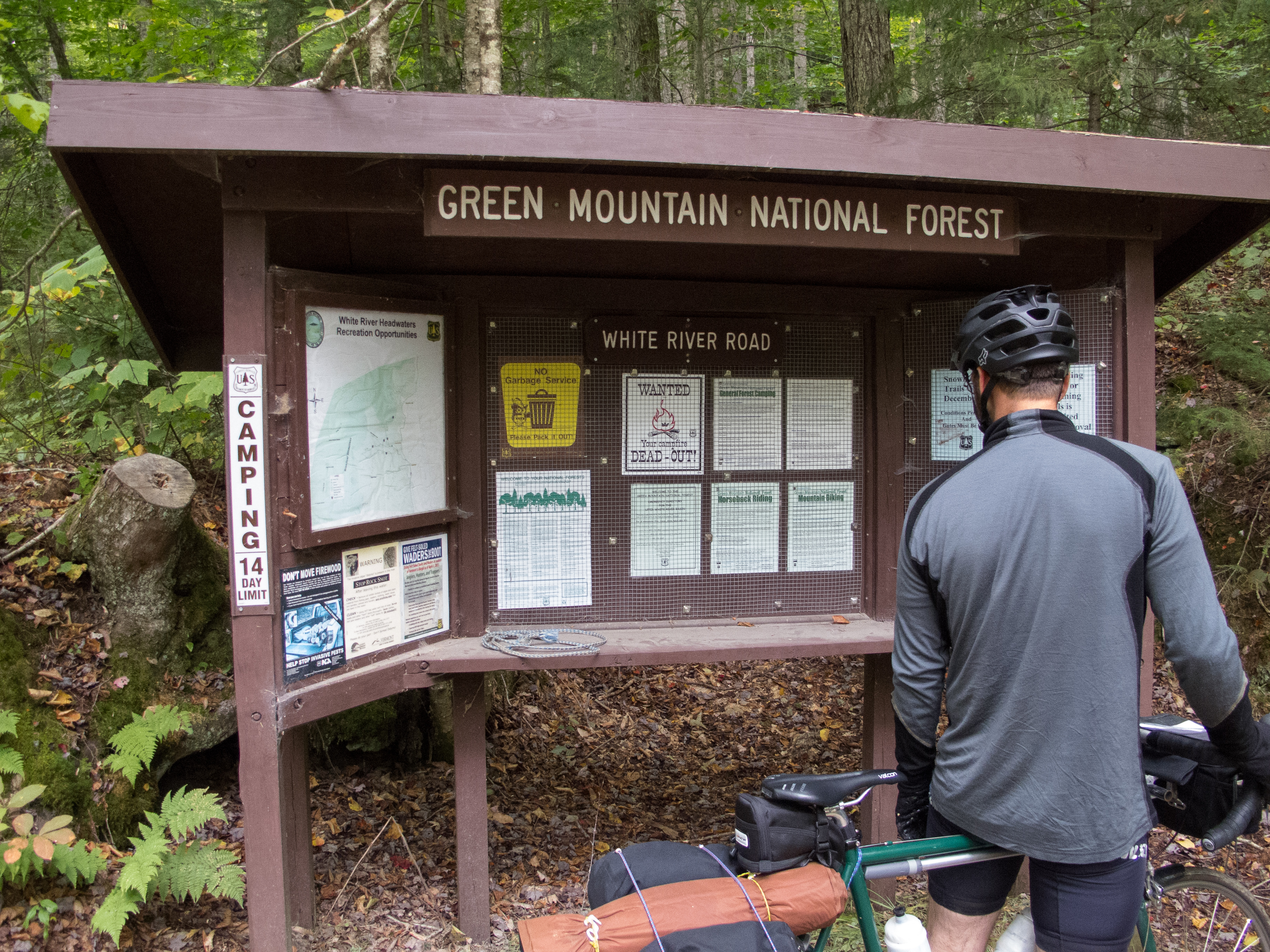
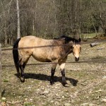
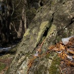
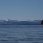
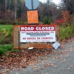
I had the chance last weekend to make an S48O trip down into the Green Mountain National Forest. I have been intrigued with the Moosamaloo area for awhile – eyeing the trail and the dirt roads that I peeked when Jen did her first triathlon at Lake Dunmore. The area has legal MTB trails in the National Forest, as well as primitive forest camping and designated camp grounds. I decided to explore the Silver Lake area, and used the campground as a base.

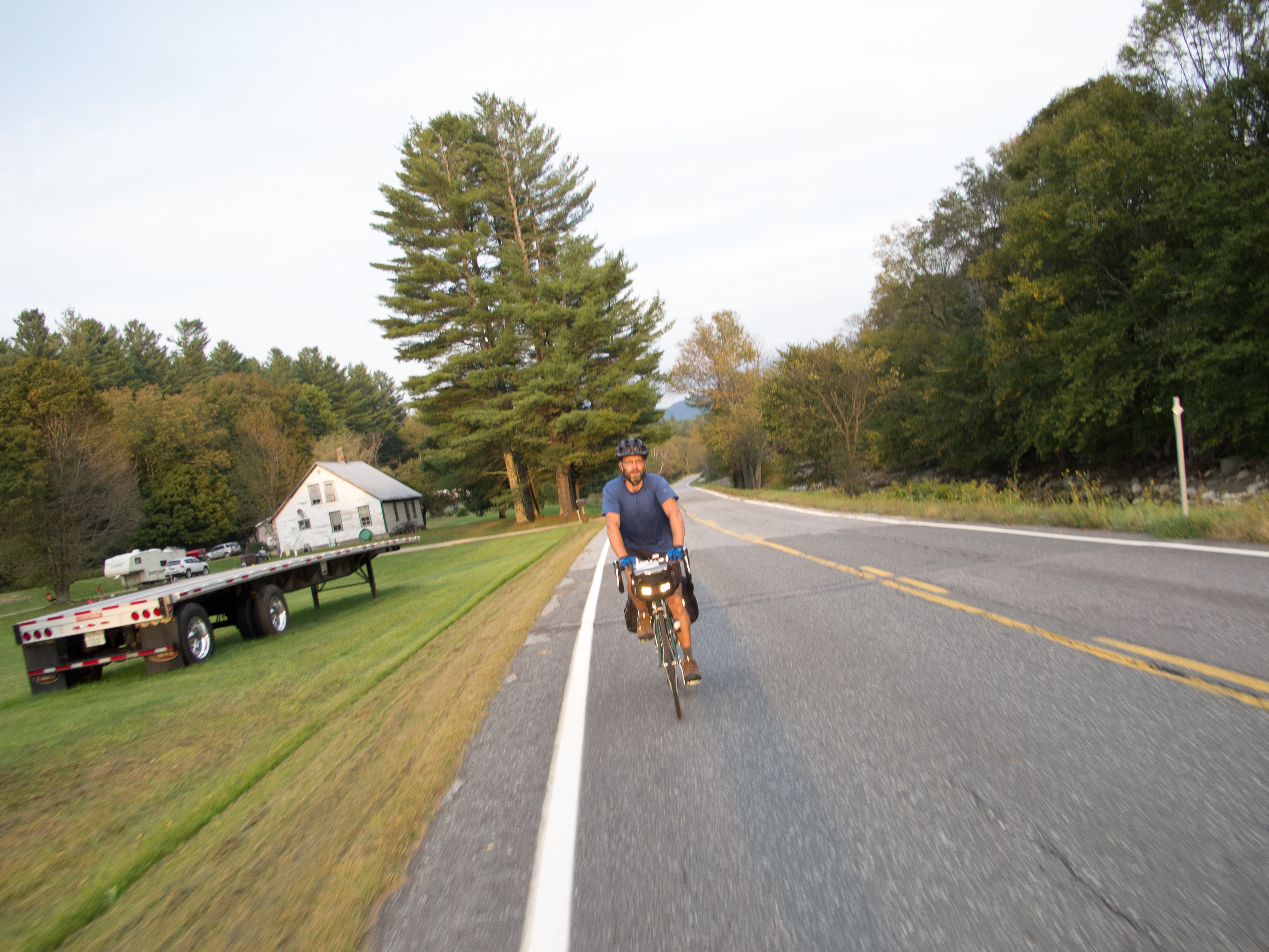
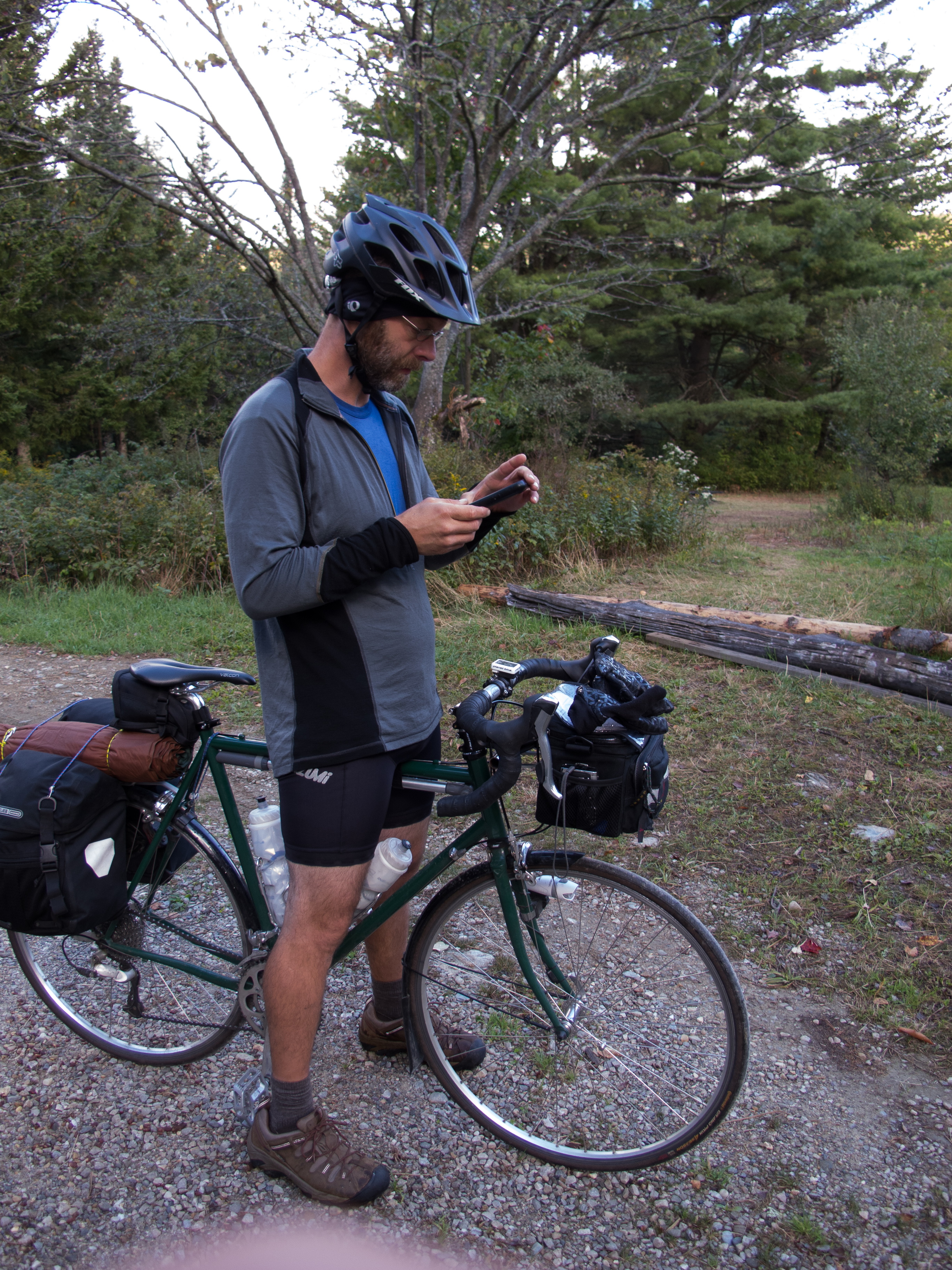
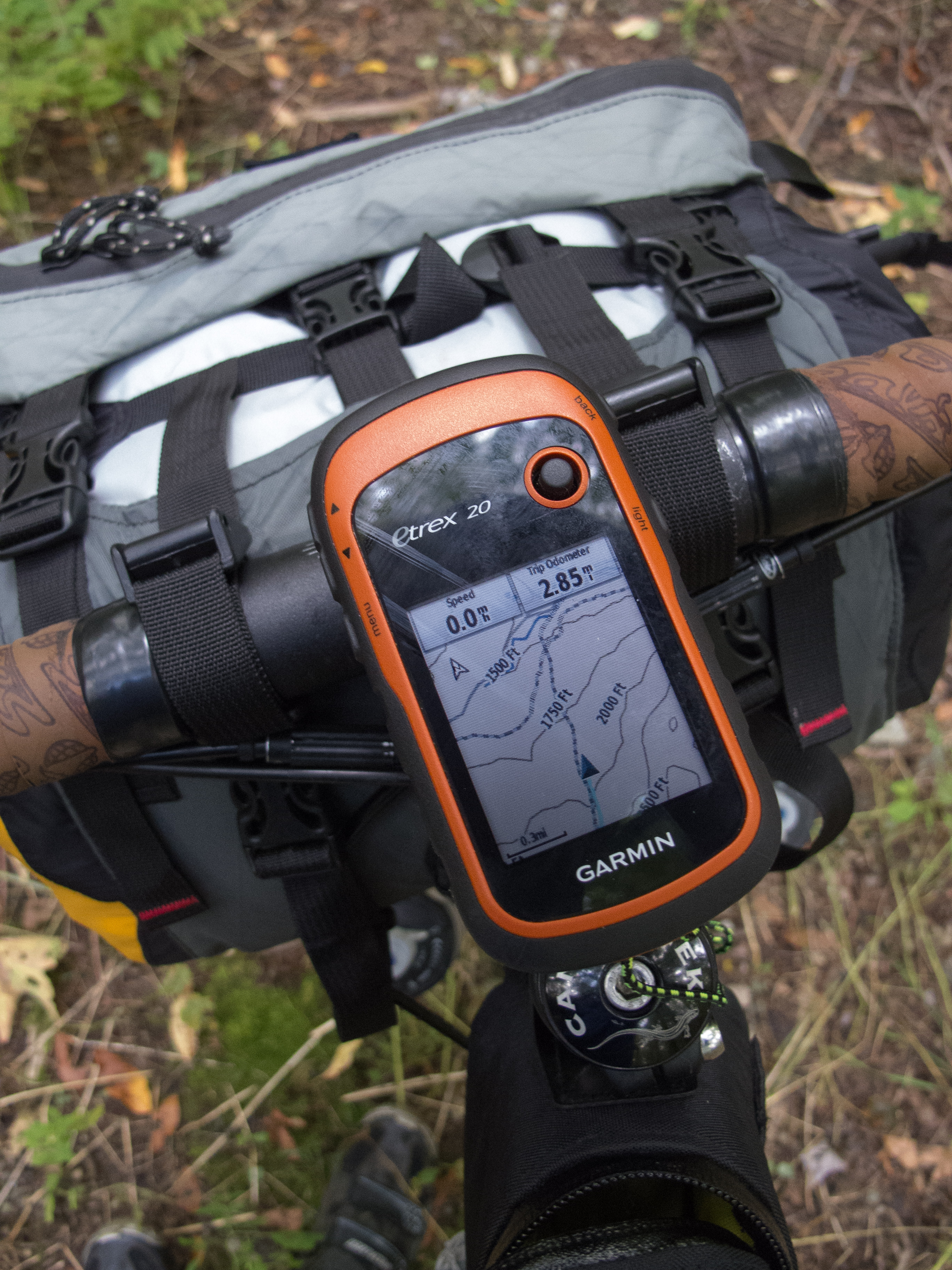
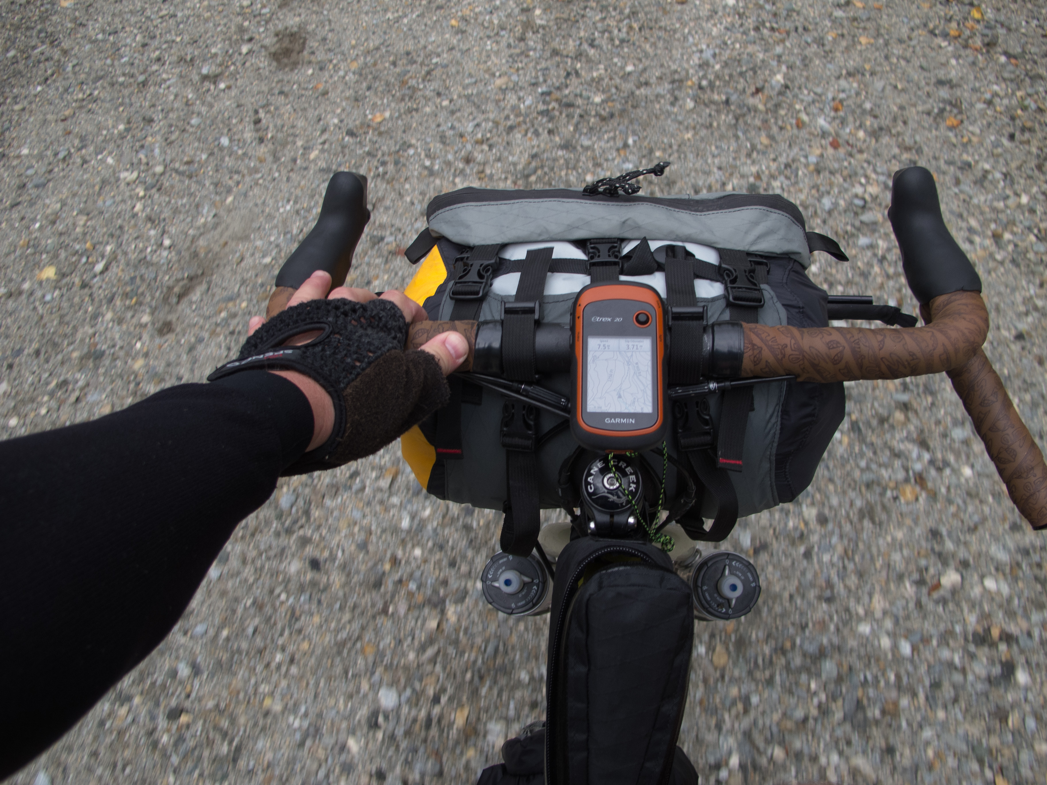
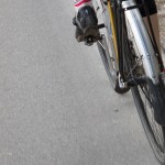
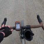
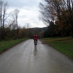
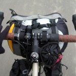
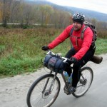
I fussed with gear and the bike Friday night, and managed to get a GPS track loaded onto my Garmin. Getting to sleep way too late, I made a groggy start out of Burlington through the Intervale and up to Spear St. with Wil as a wingman. I decided to avoid my typical flat route out of town along the the bike path as the USA Triathlon championships were Saturday – and the run portion closed off most of the path.

Little did I know that I’d still be crossing paths with the tri gals and geeks. Once on Spear St. I had a closed road to Shelburne, and we tucked into the group of cyclists heading out on the ride leg. Lots of cheering, lots of odd faces as I rolled by fully loaded. We dropped right into the middle of the women’s pack, and did our best to stay to the side and encourage folks. I think we pulled 18 mph out of town – fast enough so the ladies didn’t pass us like we were standing still, but still a sustainable pace this early in the morning. Those disc wheels? They are loud. At one point I thought a lady had a 2 stroke in her downtube as she revved up to climb to Irish Hill. Must be those golf ball dimples…

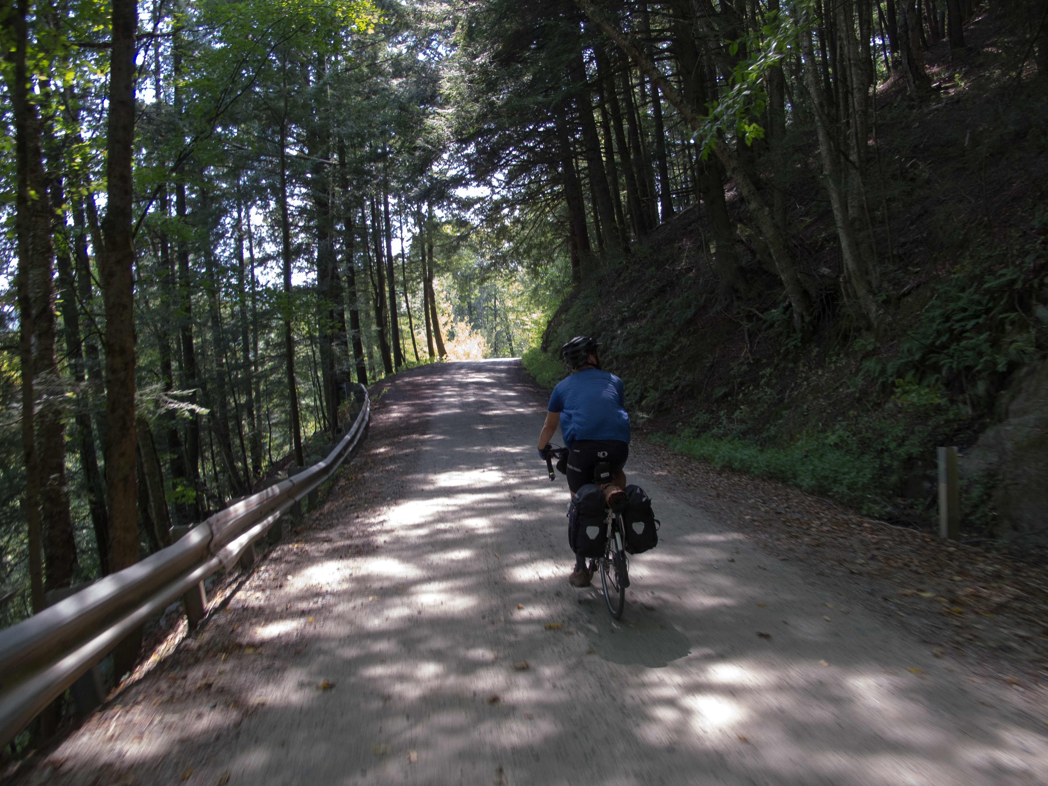
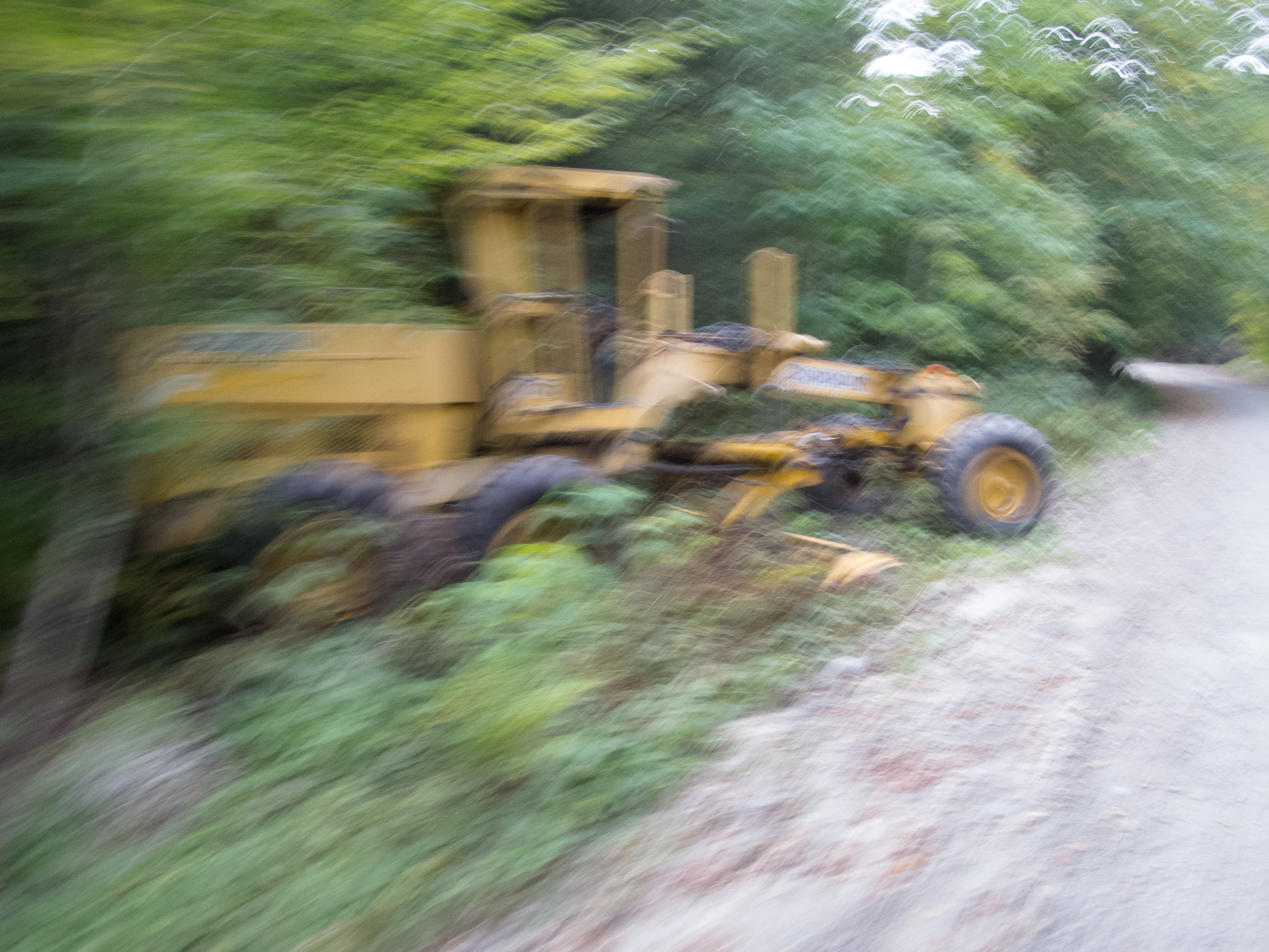
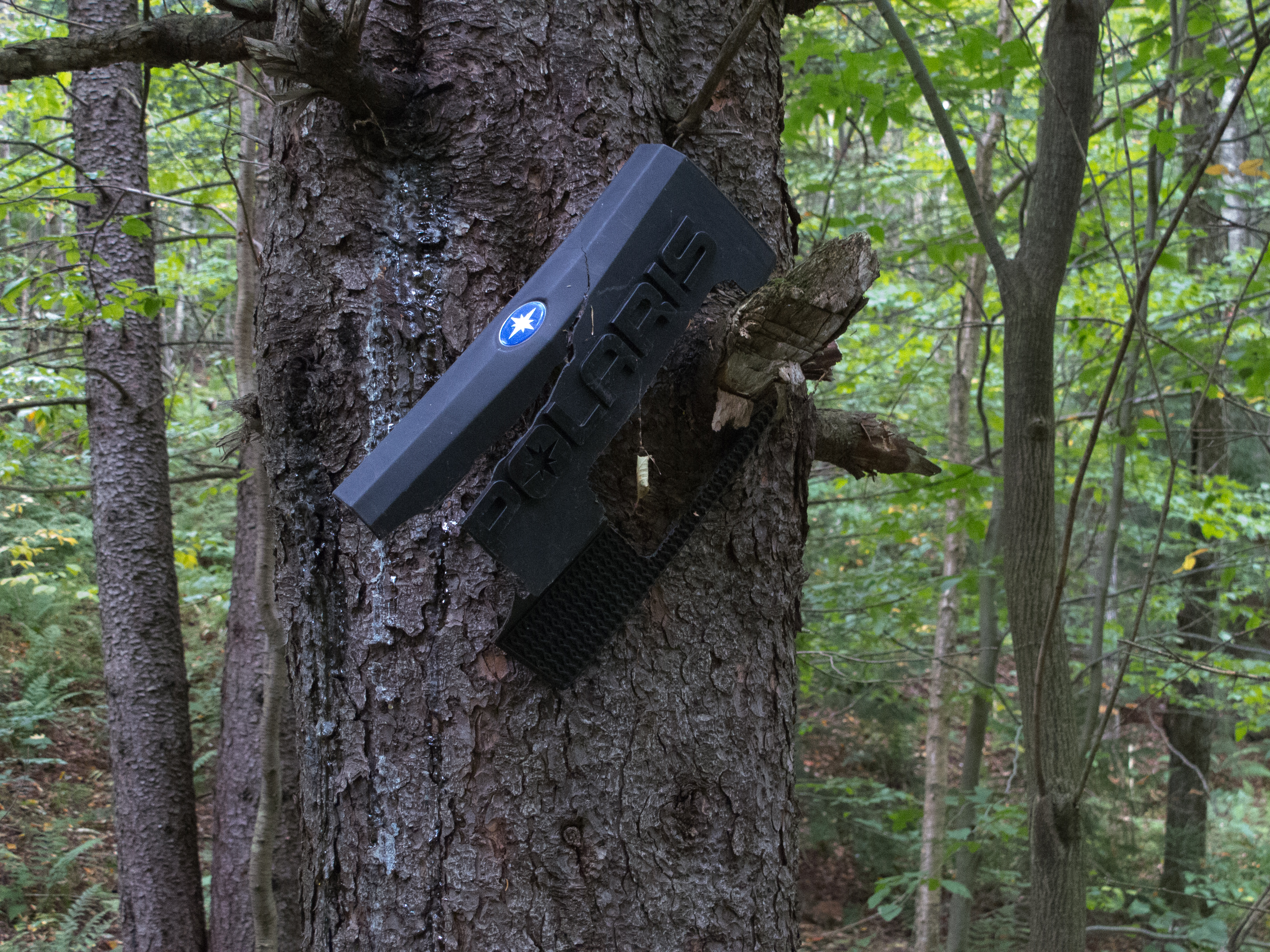
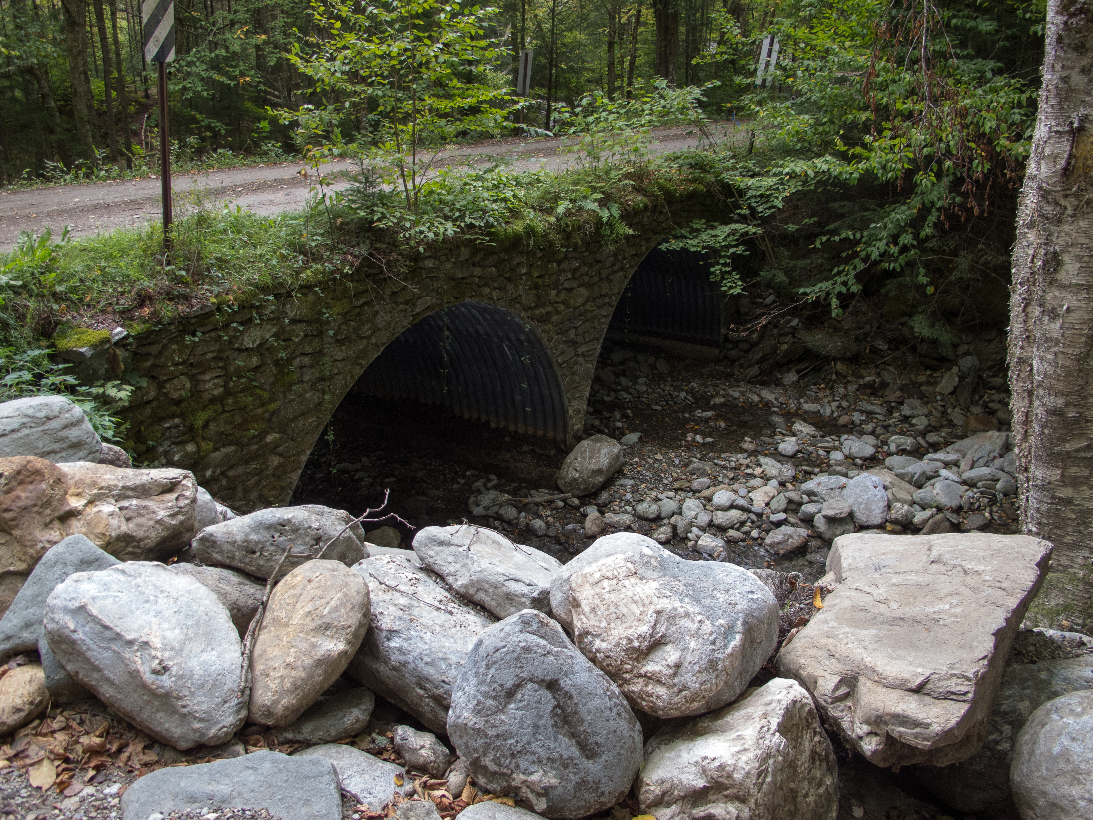
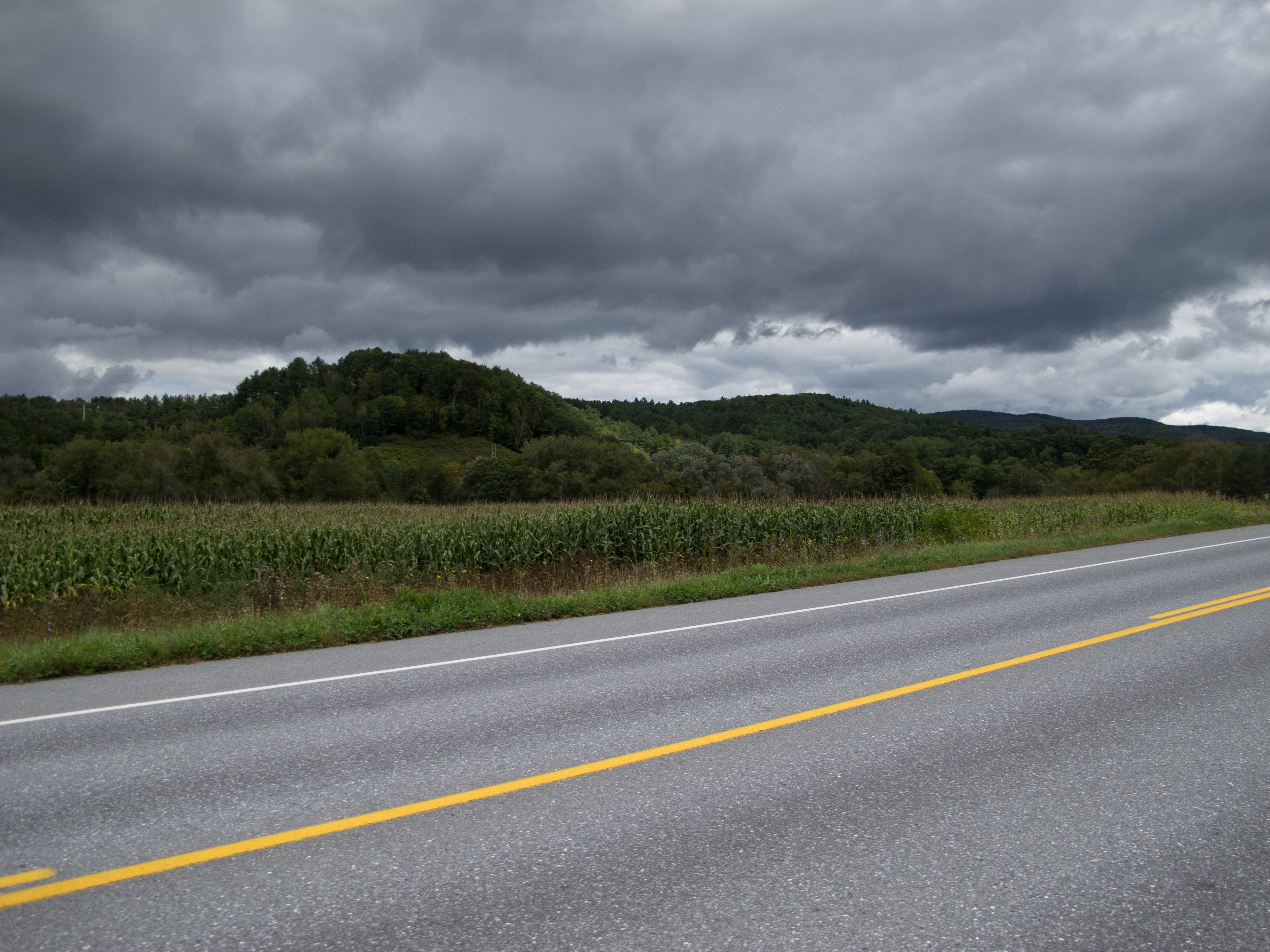
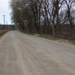
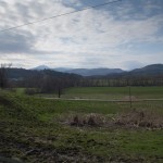
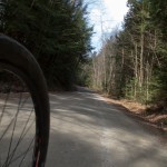
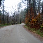
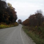
Wil turned off somewhere as we crossed into Shelburne, and I was solo for the remainder of the trip. I rode out Spear, and crossed the Lewis Creek covered bridge, then followed Covered Bridge Road into Charlotte and Monkton. I planned to ride as much dirt as I could – some familiar, some new. A left on Hollow Rd. (paved, but I never really new how pretty the scenery was) and I crossed over to Boro Hill Rd. Anything with ‘Hill’ or ‘Mountain’ in it should give pause. Especially if it is dirt and loose gravel. Boro did not disappoint – GPS and TopoFusion show 10-14-17% grade for the first half mile, then a tapering, rolling top about 1.5 miles long that still went up, followed by a ripping descent with a decent view of the mountains to the south. I climbed that first half mile at about 2.8 mph, until a dog came out of nowhere and I sprinted for the KOM jersey.


From there it was Hardscrabble, East, and Munger, where the chirping from my rear brake finally drove me to stop and investigate. I dreaded pulling the wheel – but upon inspection it seems that somehow the return spring (Avid BB7) had dropped into the pads. I threw my Leatherman with pliers into my kit at the last moment and I was glad I did… wriggling the plier tips in to just grab the spring, and pop it back into place.

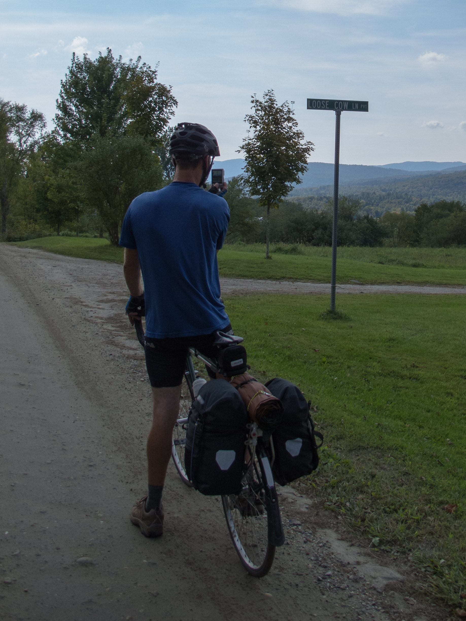
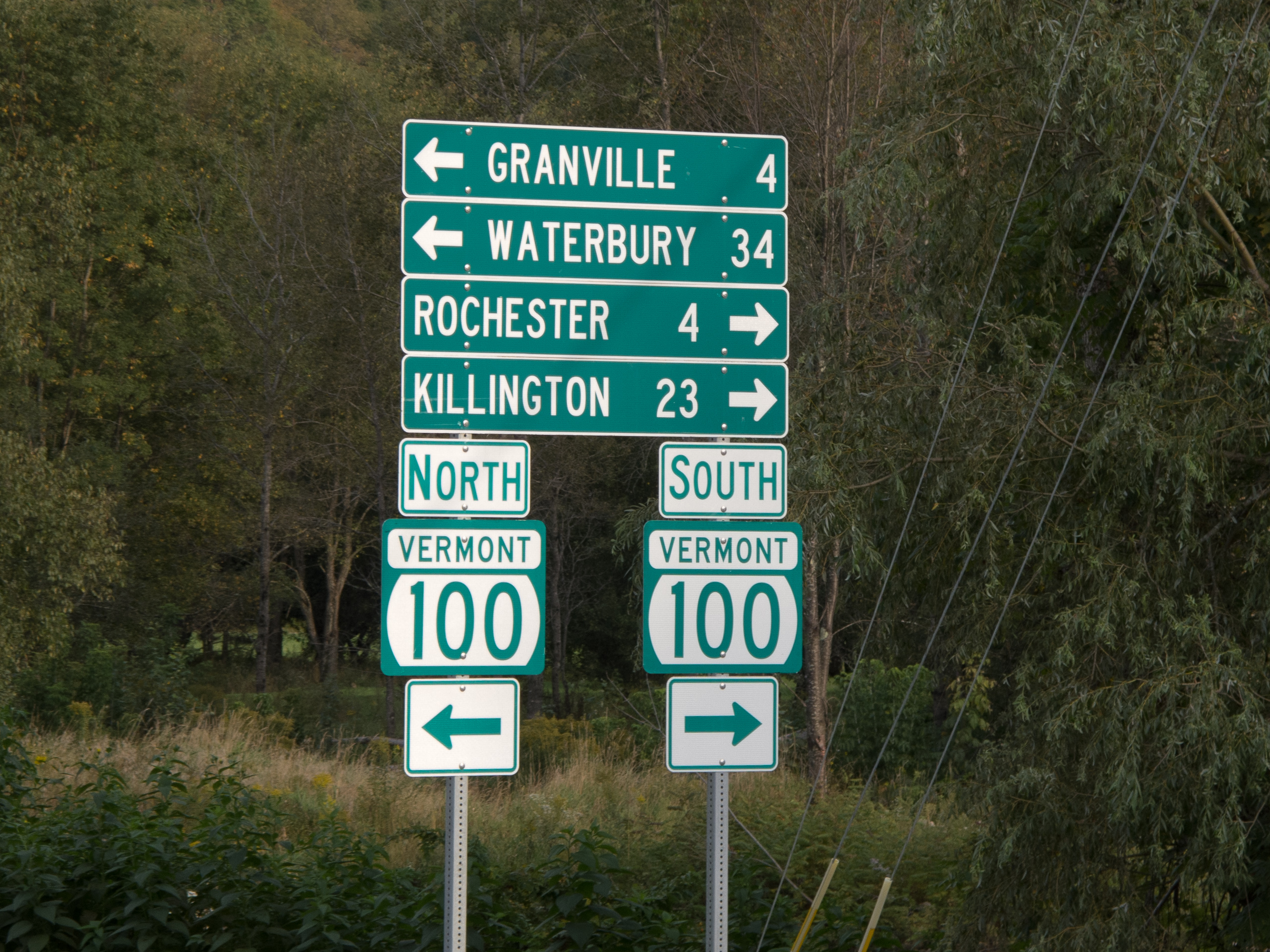
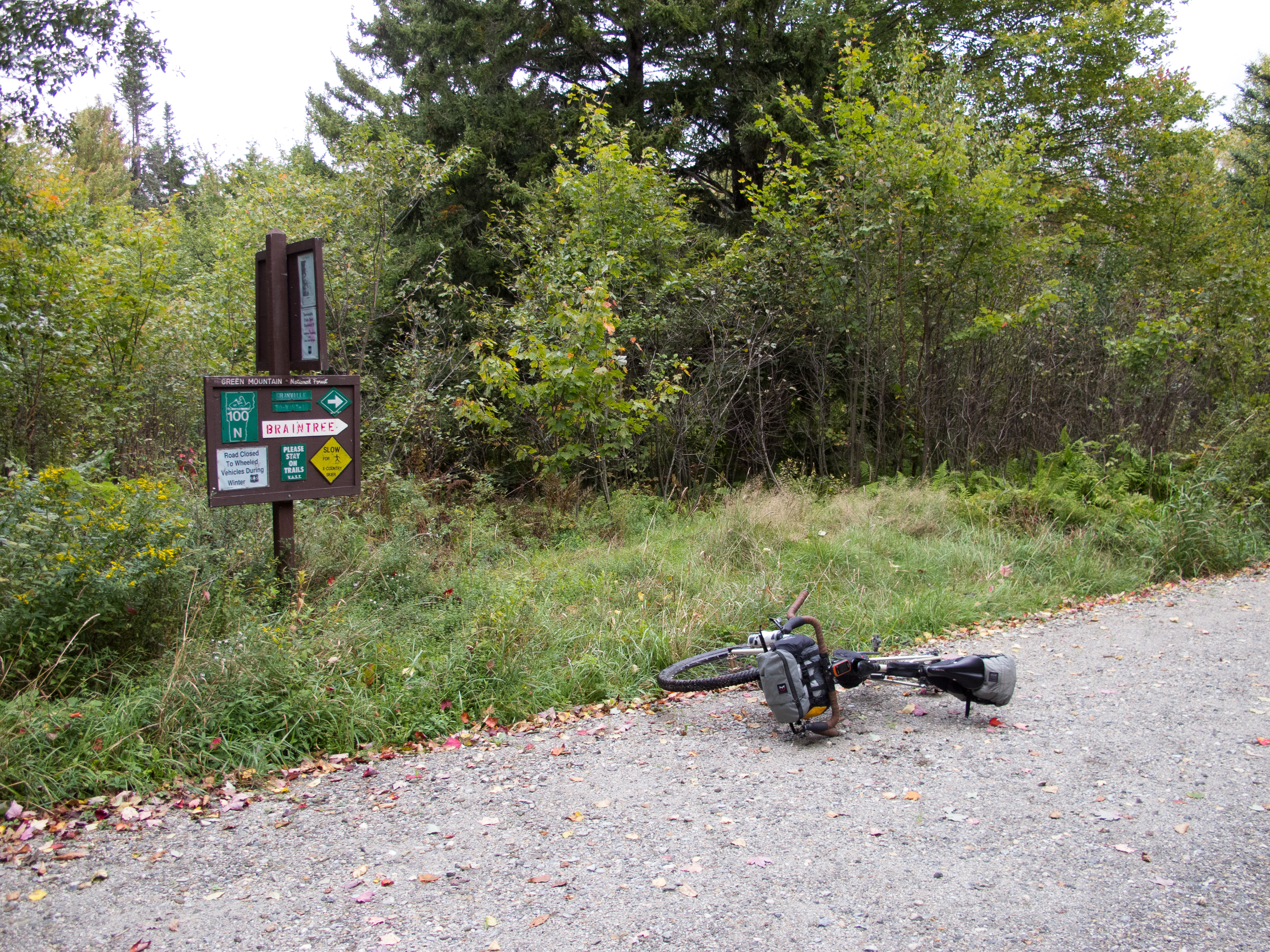
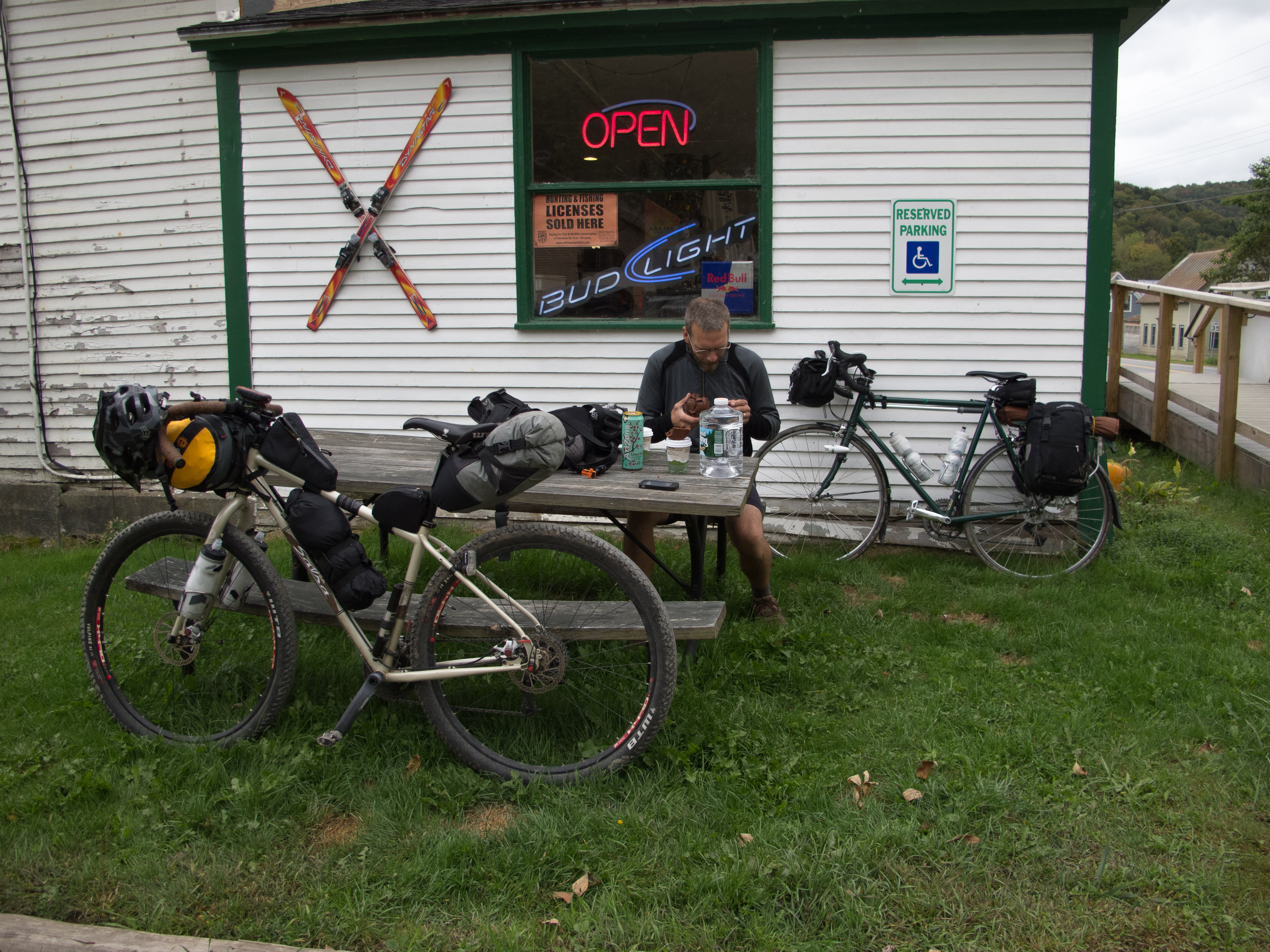
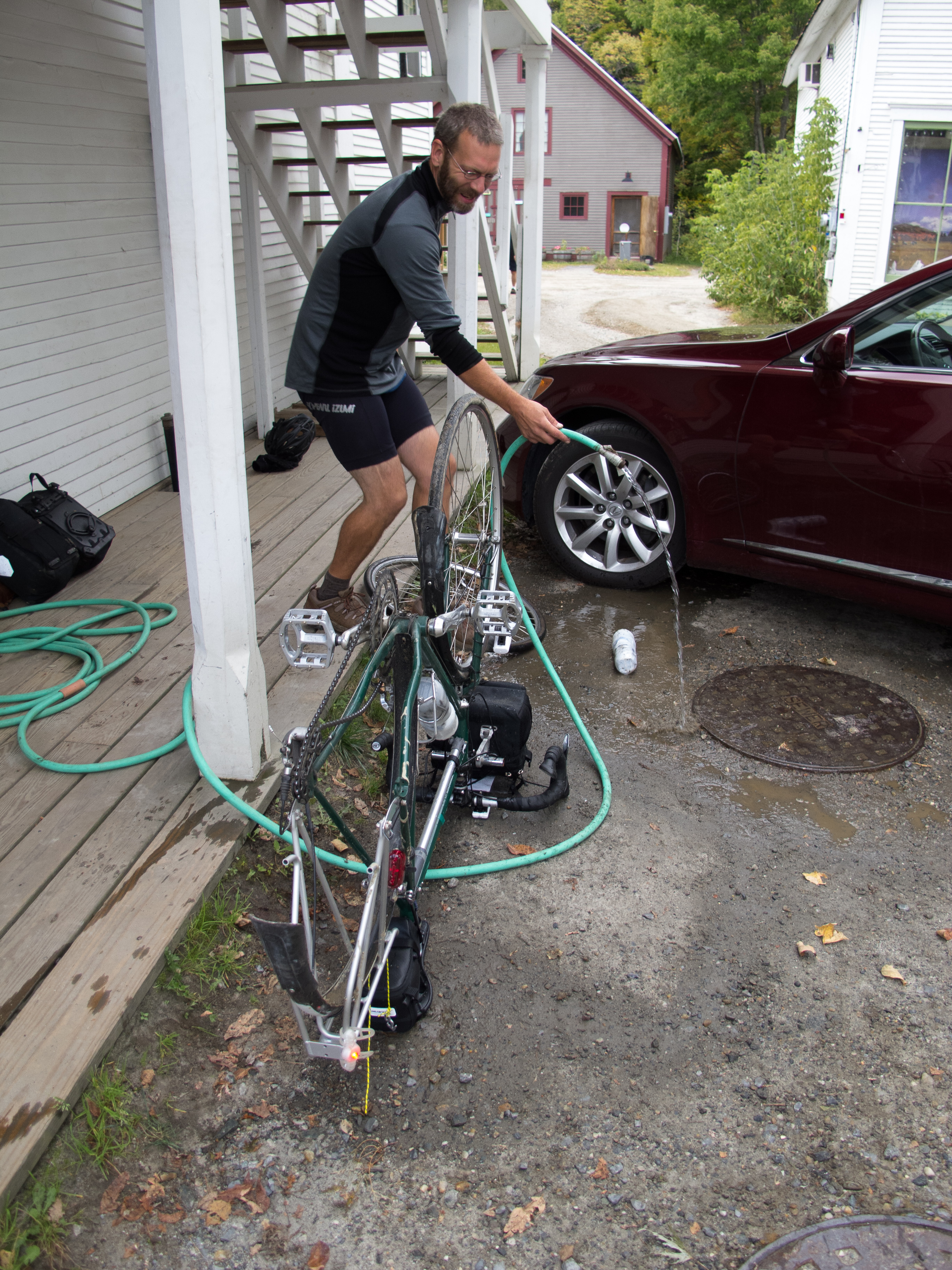
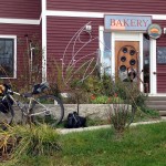
A few twists of the adjustment knobs and I was rolling again, on to 116 into East Milddlebury, where I had lunch from the convenience store. Coke, Fritos, and a cold turkey sandwich hit the spot. When I was headed in to re-up my water, a roadie doing a double gap and I started chatting in line and he ended up buying a gallon of water that we split. Topped off, I took the back (and upper) way to Lake Dunmore – up 125 a short ways, then Lower River Rd., Beaver Pond Rd., and Upper Plains Rd. I made a quick stop at the Kampersville and loaded up on water and grabbed some food for the night. Silver Lake was listed as having no water available – so I carried an extra 3 liters up to camp. (I had Aqua Mira with me, but wanted to minimize any screwing around with lake water).


My original plan was to ride to the south end of Lake Dunmore, and then either ride up the Minnie Baker Trail, or come up the Brandon Gap Rd. and explore Silver Lake from the south, riding on the Leicester Hollow Trail. Due to it being a nice weekend and there being an ultra trail run in the area – I wanted to be sure to either get a campsite – or know that I needed to find one as I explored. I decided to head up the Falls of Lana Trail, drop my tent and sleep stuff if I could get a site, and then explore further south after a rest.
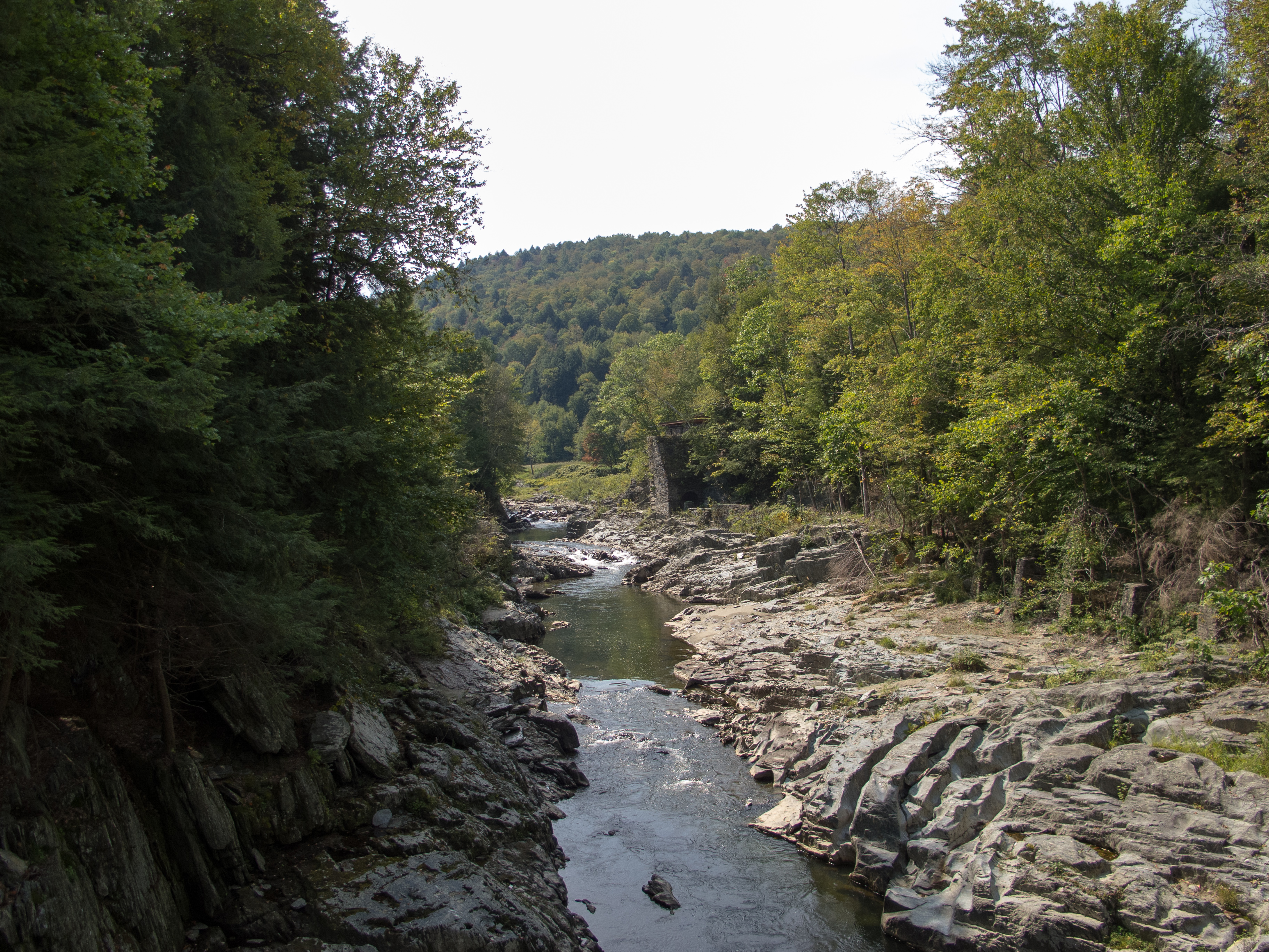
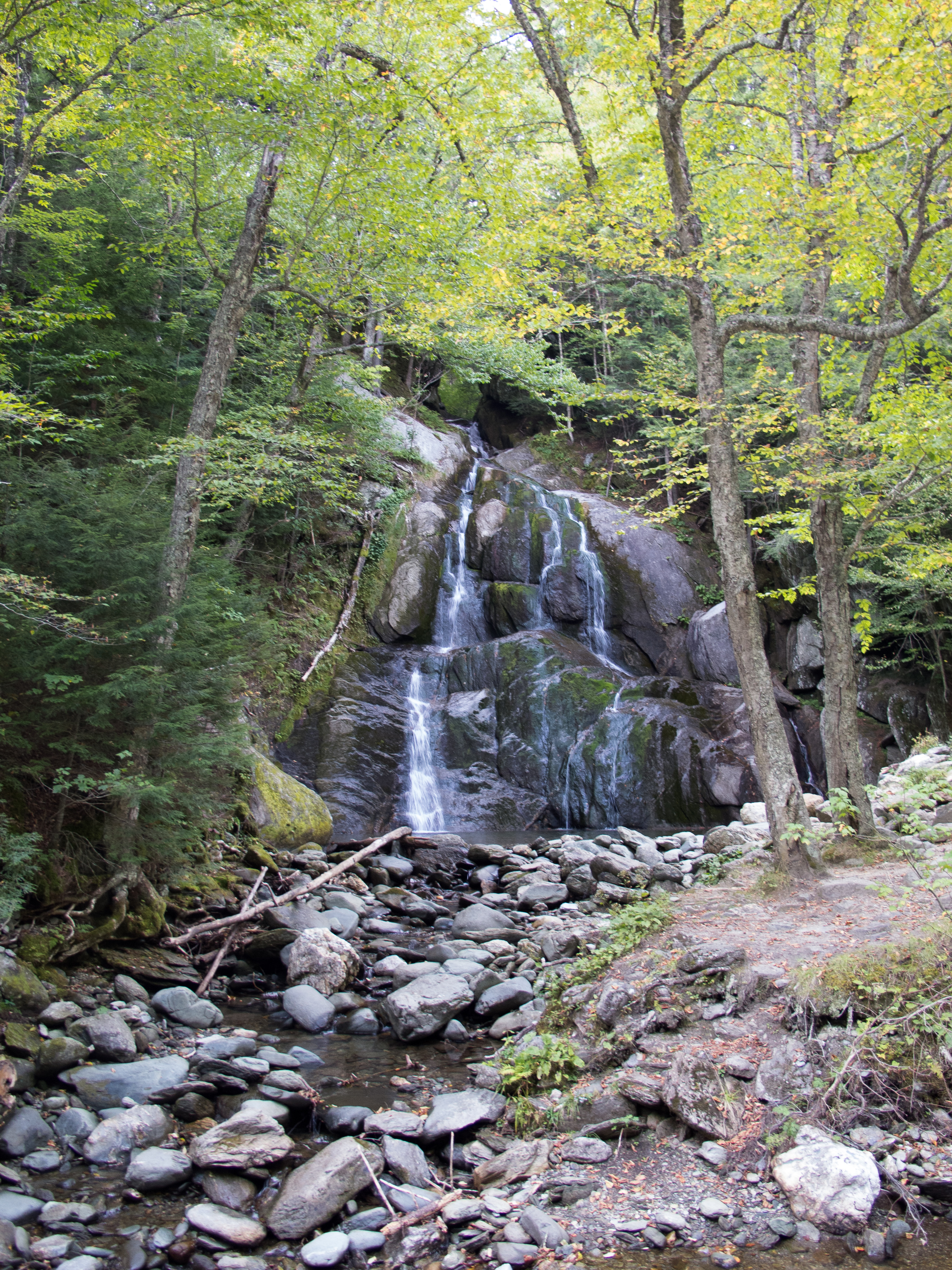
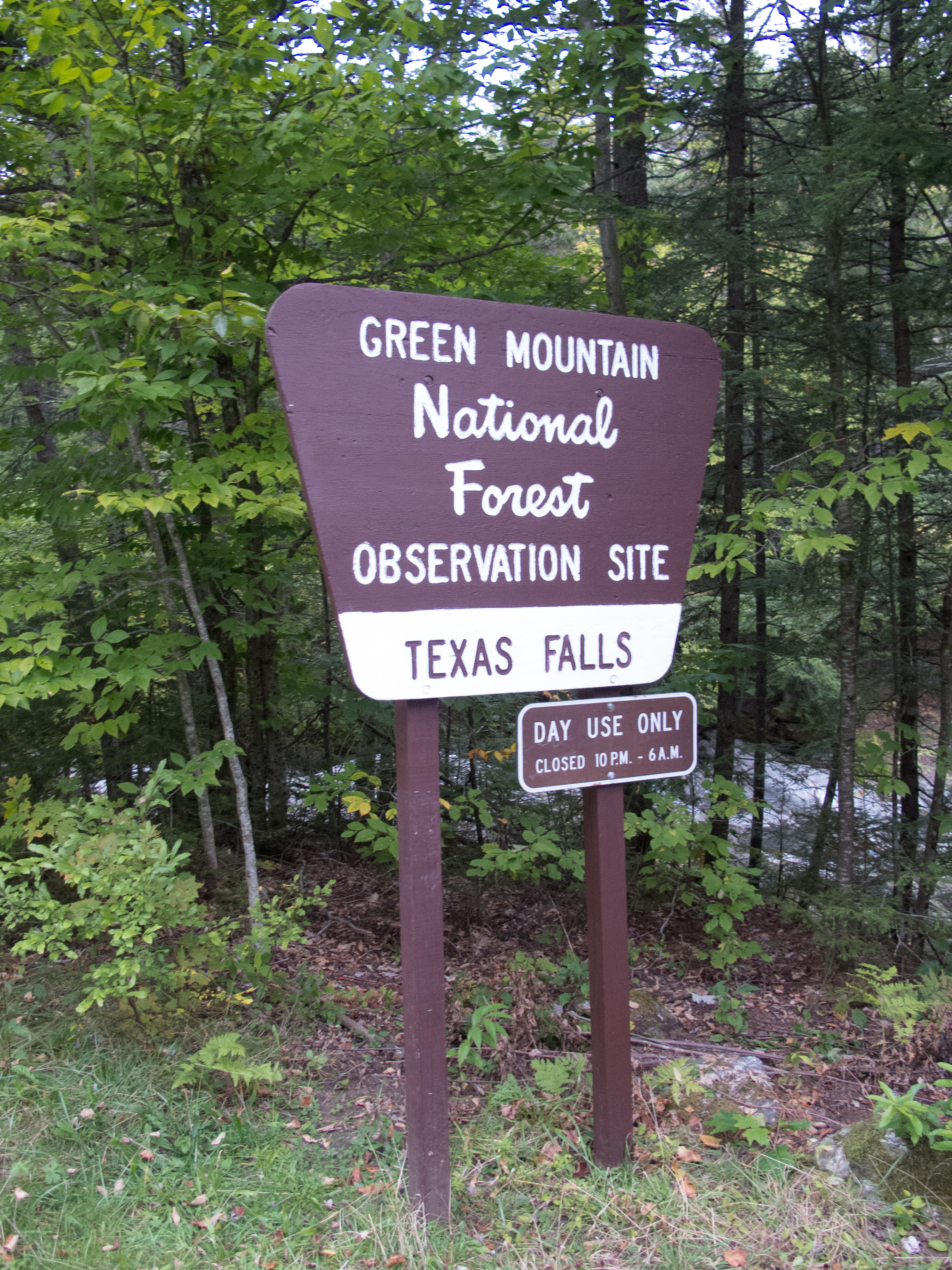
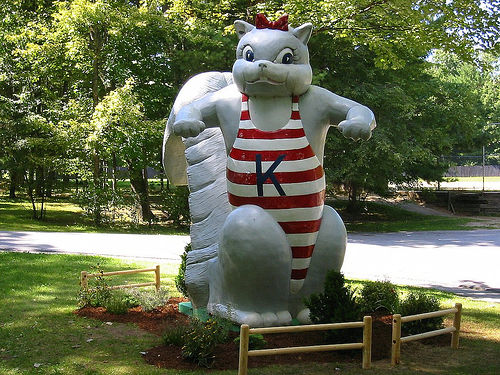
From Kampersville (watch out for the creepy squirrel) I took off south and started looking for the Falls of Lana Trail. I found the parking area, and then headed uphill, immediately turning into a hike-a-bike under the pipe. Surely this wasn’t the forest road I was looking for – so after listening to the water falls for a bit I clambered down with my bike, and took off further south on the road.
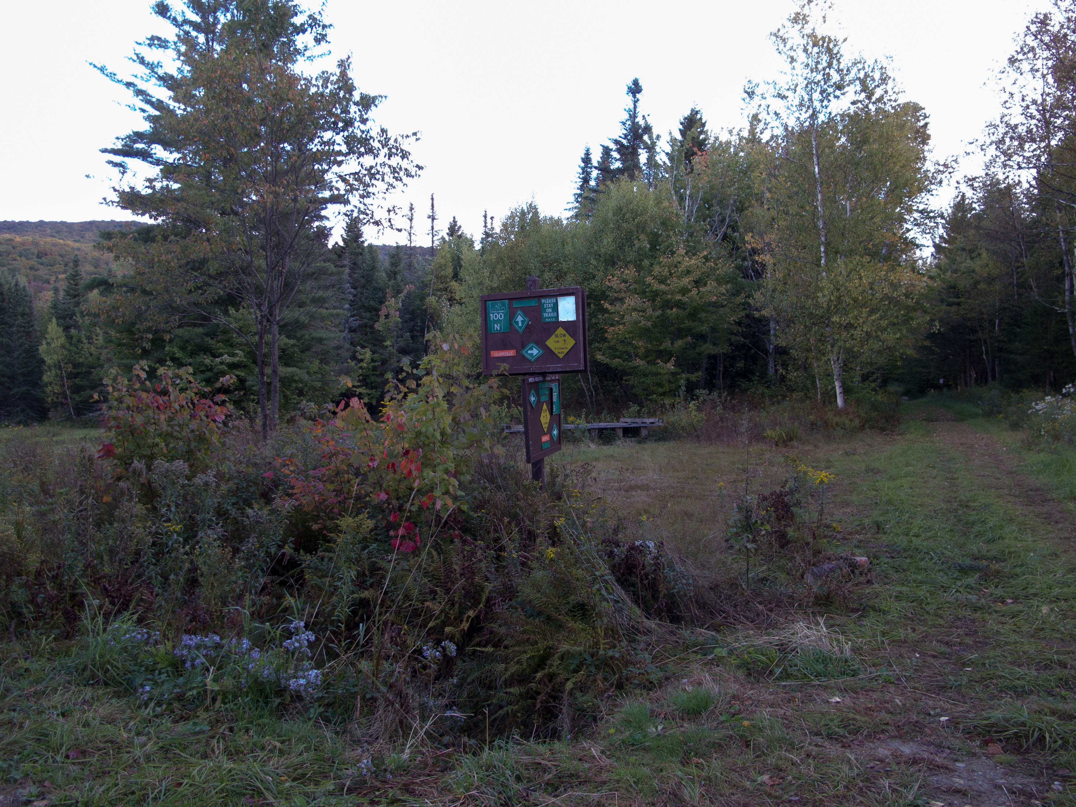
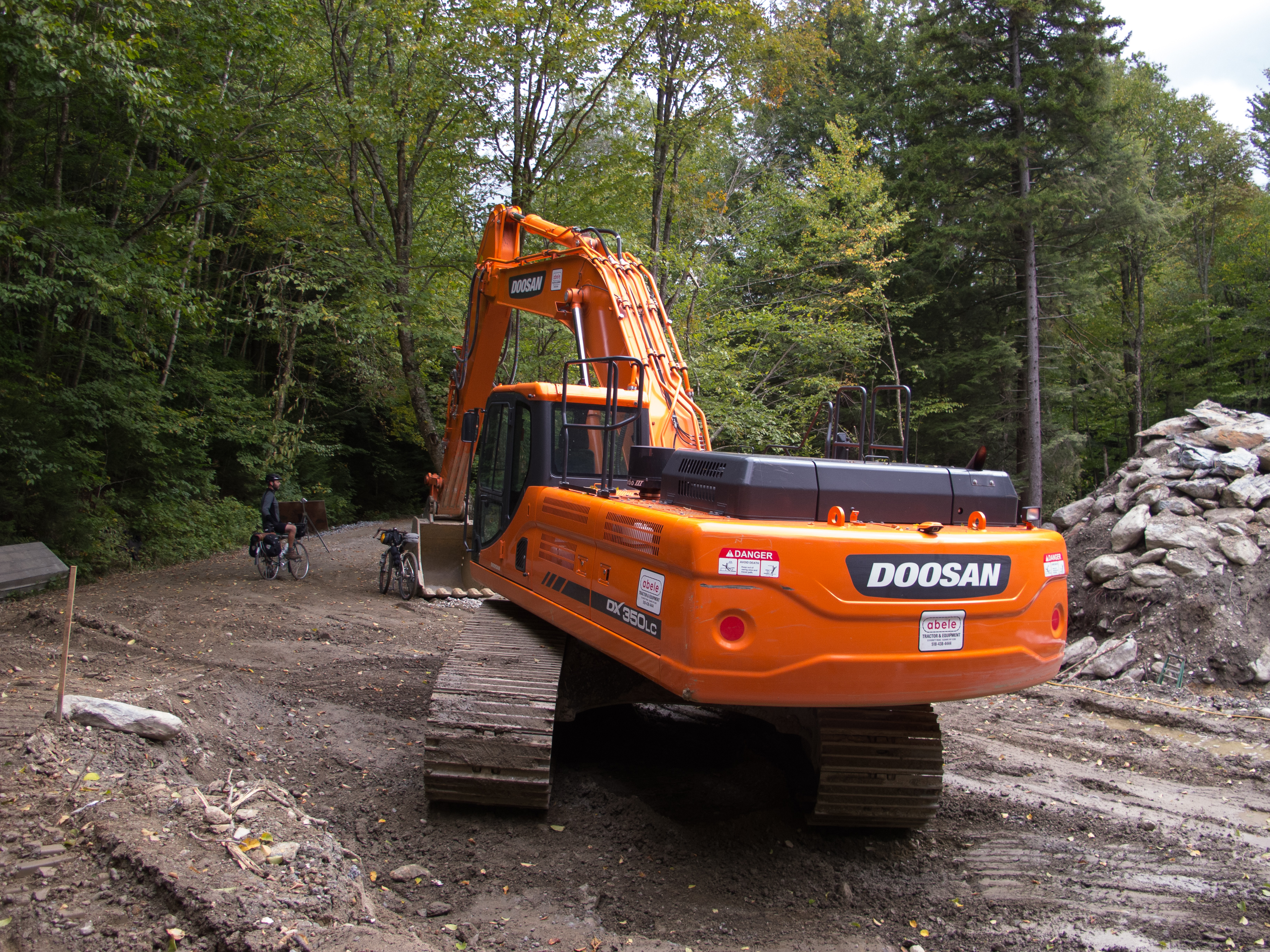
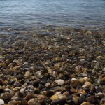
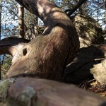
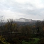
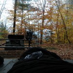
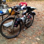
I eventually found FR 27, and a woman walking her dog pointed me back up the road 50 ft. where I missed the gated entry. I walked the first pitch from the road, and then found quite the climb ahead of me. Switchbacks, loose rock, sand. Double digit grades in parts, and about 700′ in 1.5 miles up to the lake, where a wonderful USFS steward greeted me and offered me a seat at his table, and wondered why I was so out of breath. We chatted for a bit, and he suggested a few quiet spots. I rolled out down the east side of the lake and took #4, a short walk to the water, a picnic table, fire ring, and a nice flat spot for my tent. As I explored for my site I was surprised that there were pit toilets, picnic tables, and fire rings. Not exactly what I was looking for – but I didn’t complain. Free camping, first come first serve, in a clean park. After 54.5 miles I took a pause, setup camp, snacked, and rested a bit.

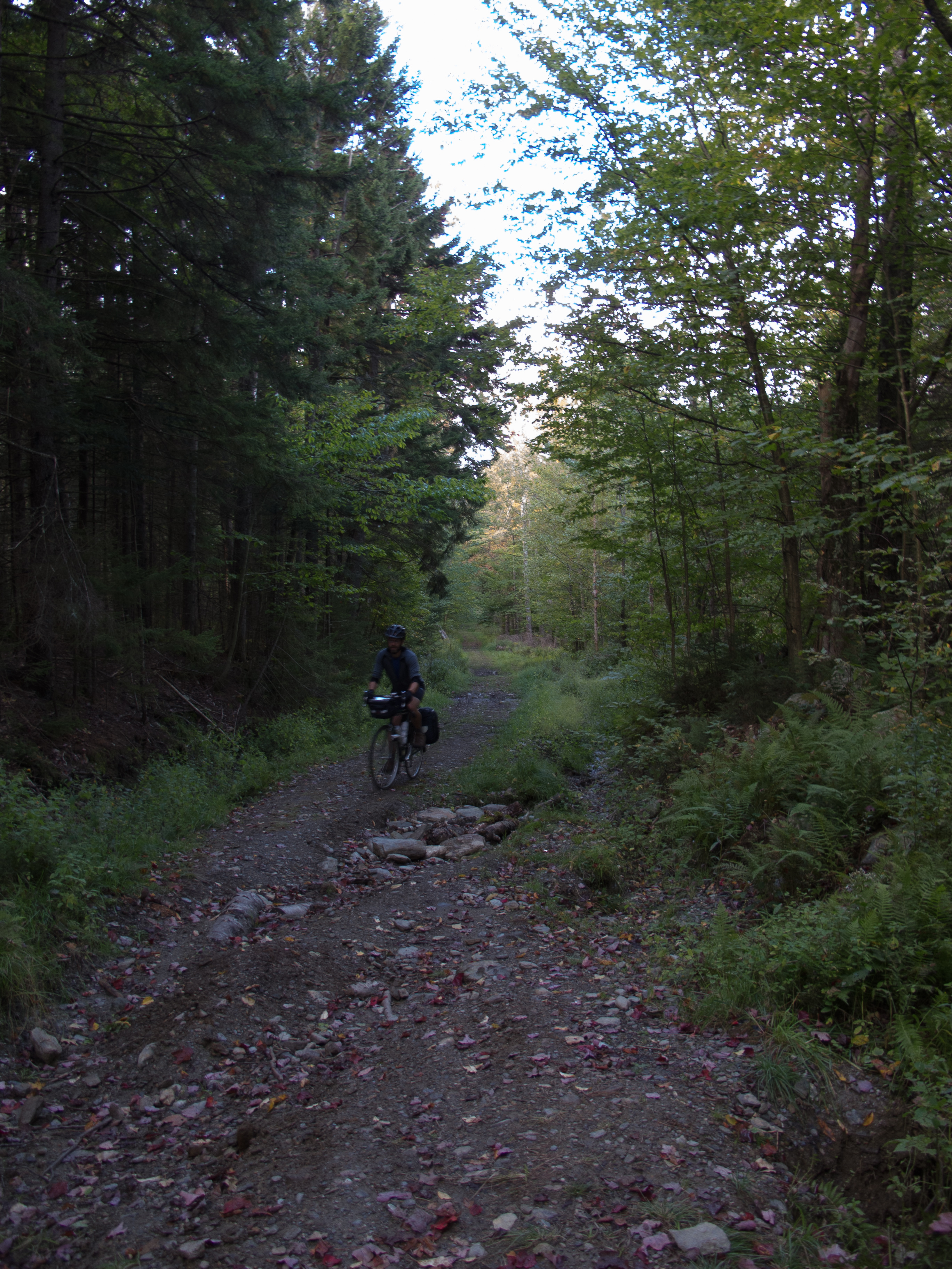
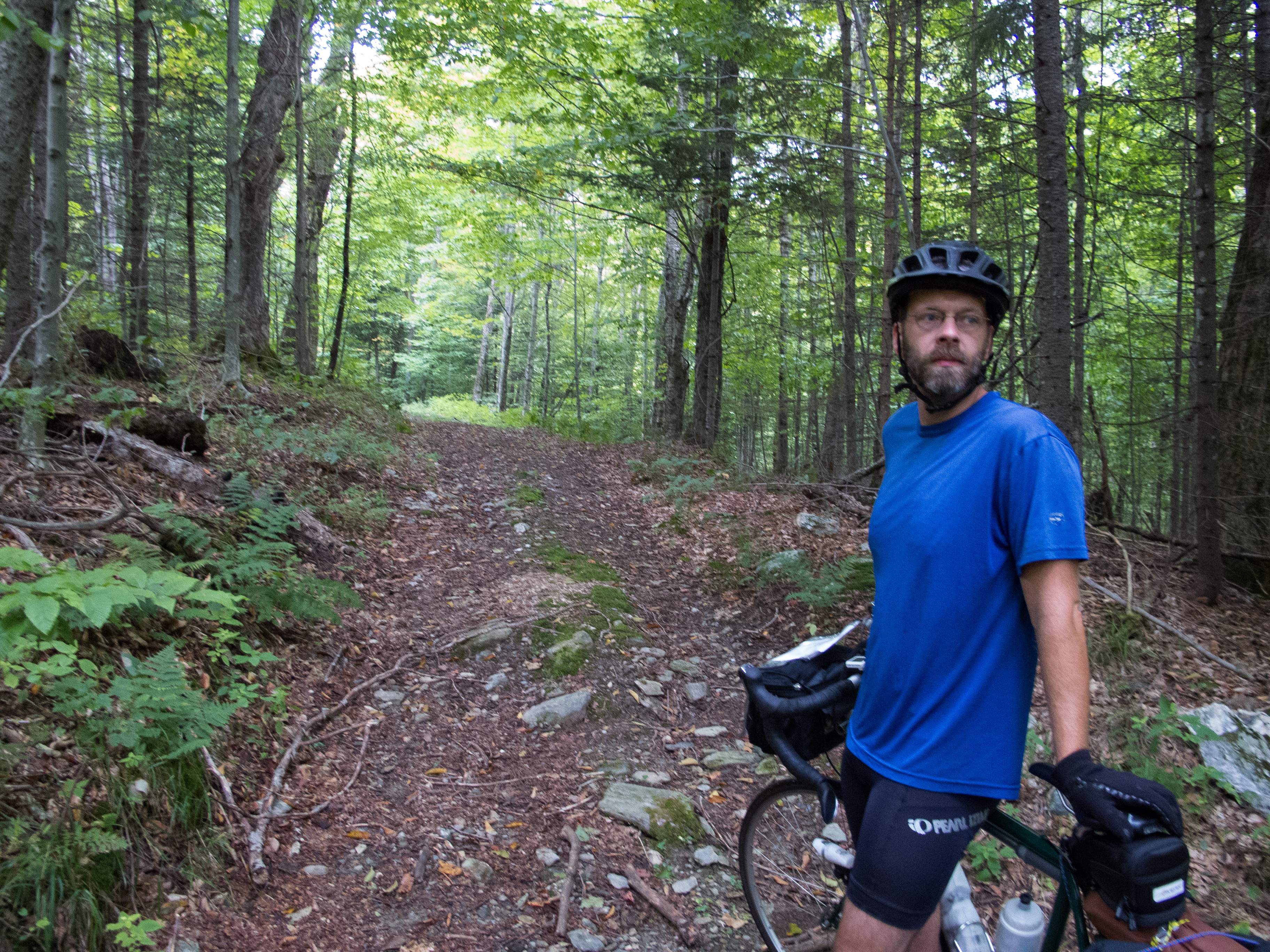
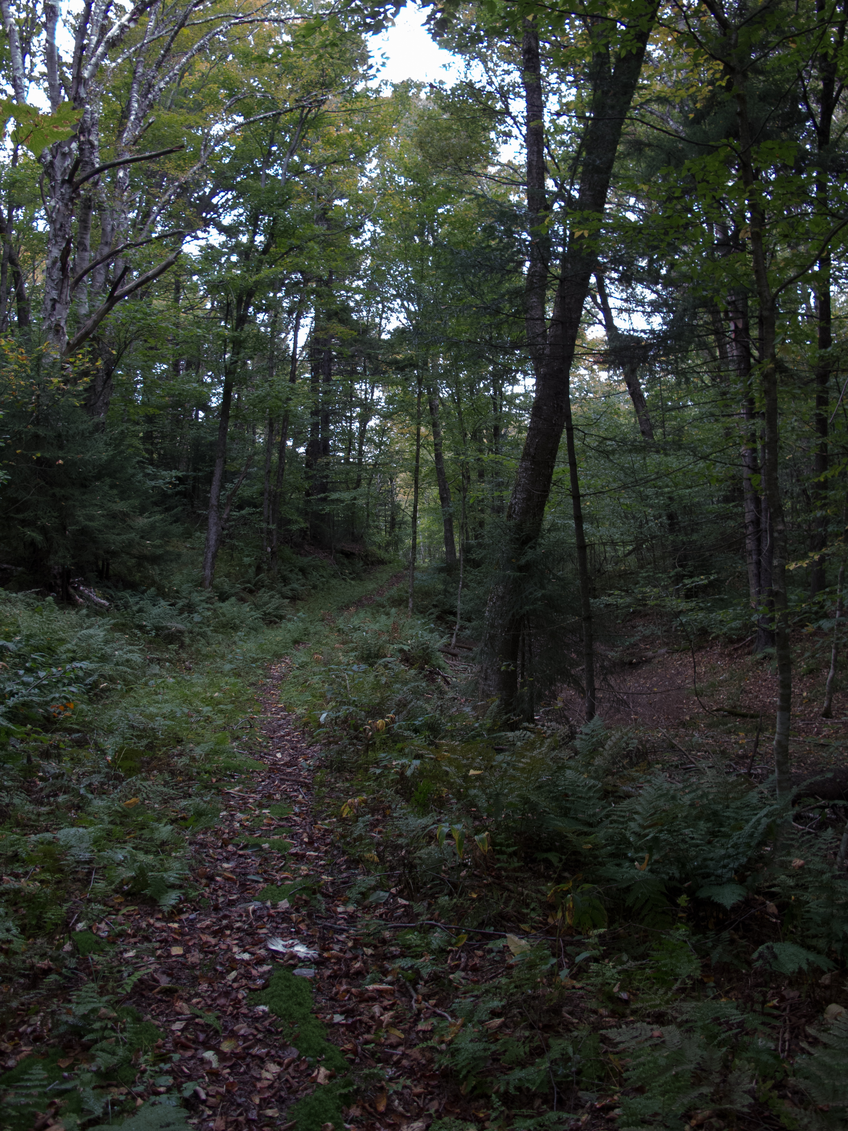
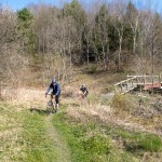
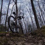
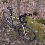
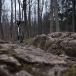
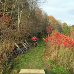
After sorting a bit of gear I took off on the Chandler Ridge / Leicester Hollow Loop – 8.6 miles of single track. I did this counter clockwise, and Chandler Ridge had to be one of the hardest efforts to date on a bike. Lots of hike a bike – interspersed with some pretty sweet riding single track. Which would come to a halt as the roots and the rocks took over, and I would dismount and hike again. I can see the amount of work that went into this trail – long bench cut sections, armoring, switchbacks – but its appeal was lost on me – likely as I was near fried with my efforts earlier in the day – as well as being on a rigid, drop bar bike. Someday I’ll have to go back with the Pugsley and see if I like it better… or bring the Fargo with a fresh mind and set of legs.

As the sun started moving lower in the sky, and I started moving ever slower on the trail – I worried that I’d be in the Hollow after dark, especially if the return trail was as technical as Chandler Ridge. I did a quick sweep of my bags and couldn’t find my headlamp. I was also running low on water – I set out with maybe 1.5 liters on my back… and it was dry as I came down to Minnie Baker.
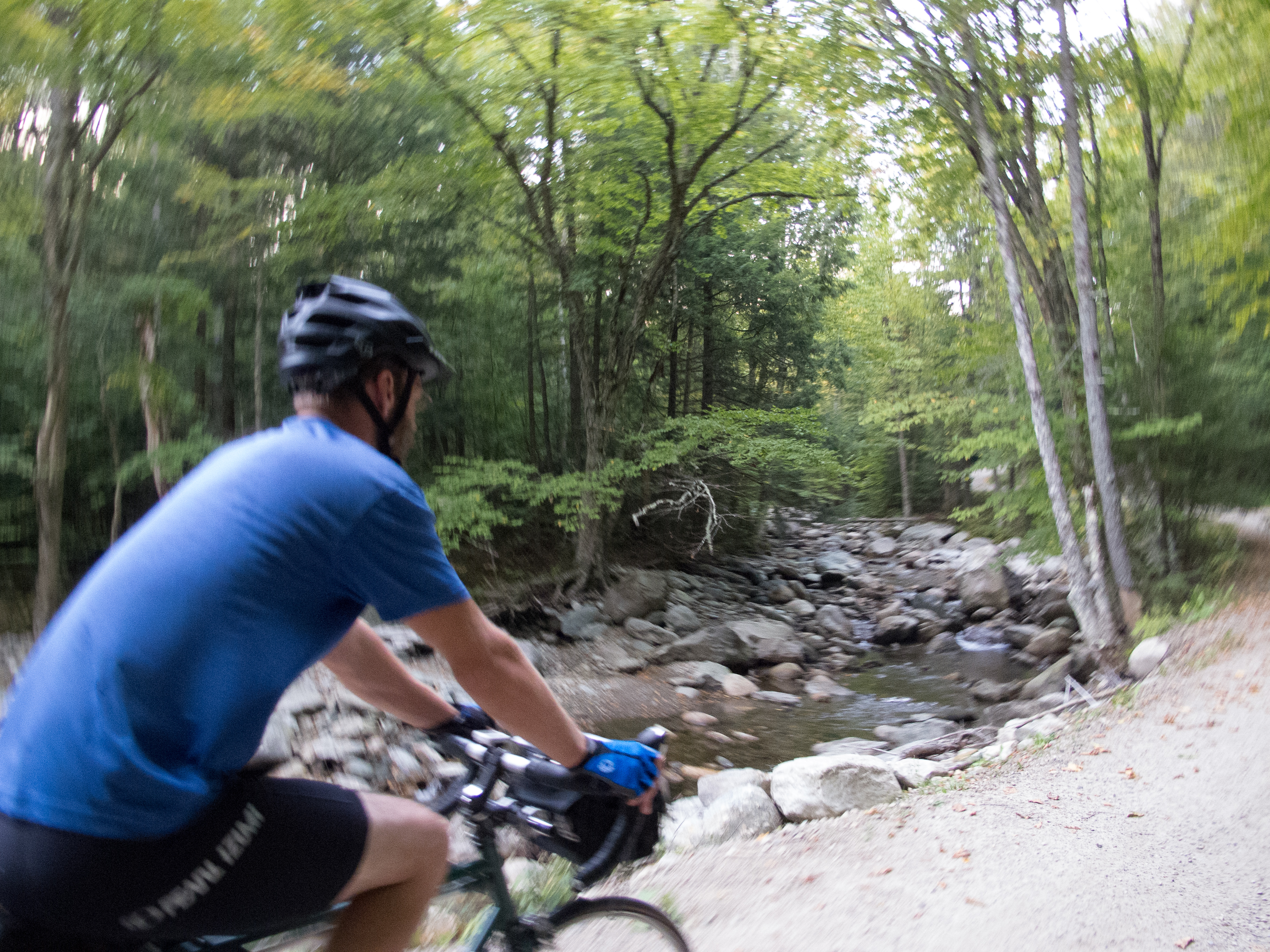
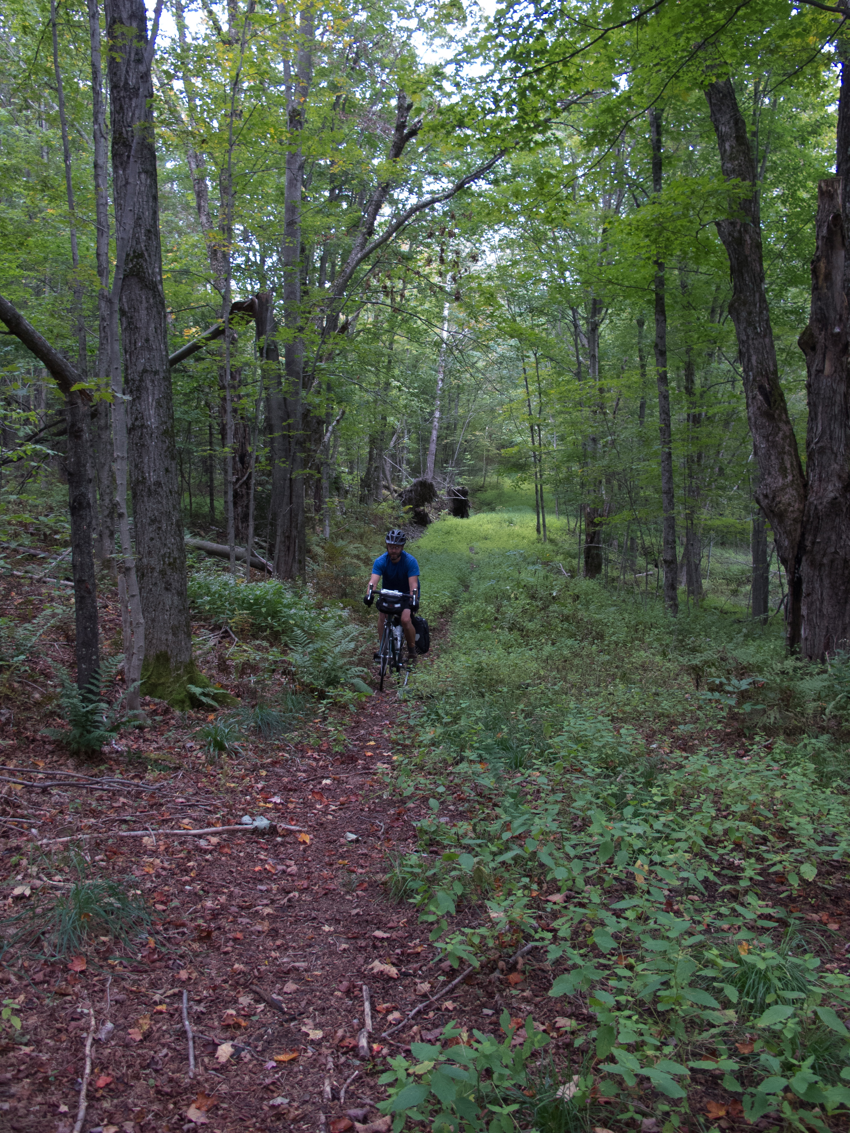
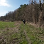
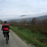
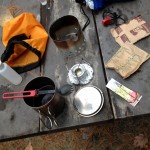
Which was when I stumbled into some very nice, very friendly volunteers for the Moosamaloo Ultra Trail Run. They were packing up their aid station and offered me water and food. I snagged a Pepsi for camp, topped off water, and had a banana. I then rolled in on the hollow trail – a mix of armored rock re-routes and smooth single track following the brook. I rode most of the trail, dismounting for the steep re-route sections over fist sized rocks. The last few miles on the south end of Silver Lake were fast and fairly flat. I cruised into camp with plenty of daylight left, and immediately setup my stove and cook kit for dinner.


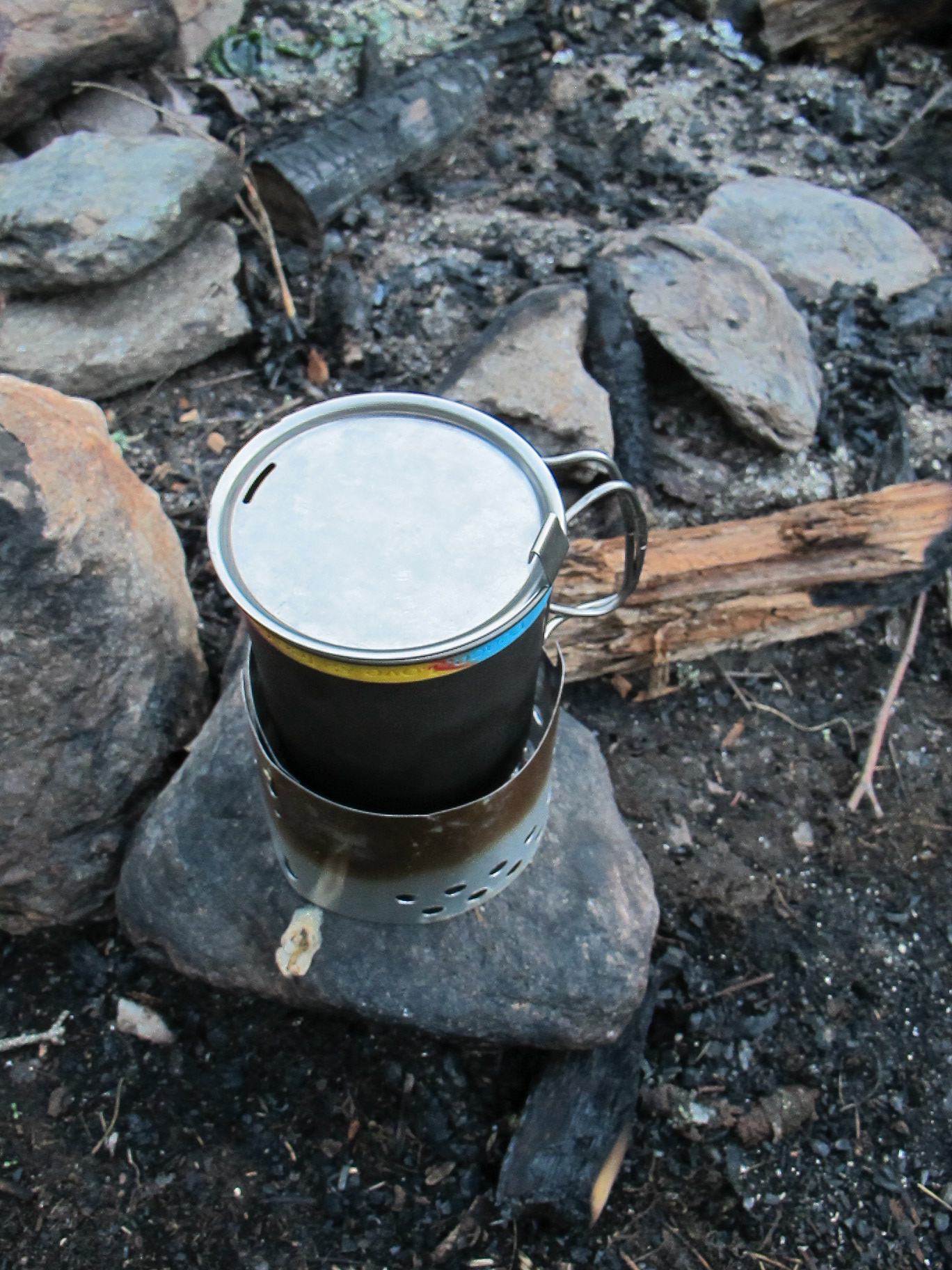
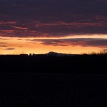
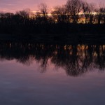
I cooked up some dehydrated vegetarian black bean soup that was passable as a meal, then downed the balance of the snacks I had from earlier in the day, including that Pepsi I snagged from my trail angels. Relaxed, I snapped some photos sitting aside the lake as the sun crept behind Chandler Ridge.

I put up my food in a hang, and sent my Wingnut up with it, along with my bottles, bladder, and any other miscellaneous food. I would normally leave the backpack down – but my neighbors returned from a hike to find one of their backpacks chewed through by chipmunks or squirrels. I turned in early, being pretty tired from my journey thus far, and from lack of sleep the night before (something I never seem to avoid before a big ride…) Sleep came in fits – lots of noise from other campers down the lake, the sounds of powerboats coming up from Lake Dunmore, and the loudest chipmunks I’ve every experienced – chirping away at each other. I figured they got into my pack – but morning proved my provisions were safe and sound. Perhaps they were stymied by the slick Dyneema I used? Or they were just out to wreck the peace…
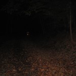
Sometime around 2am I got out to empty my bladder. The stars were incredible overhead – no moon, and the Milky Way clearly visible. I navigated by iPhone – as that headlamp I wanted to find up on the ridge was sitting on my bench at home, with the rest of my lighting kit. I had thought about taking some star images, even had the camera setup on the tripod ready to go inside the Contrail with me… but with lack of light and being pretty beat I crawled back into my sack and slept until first light.
Morning of day 2 I made use of one of the relatively clean self contained outhouses. Dressed into riding gear, and put the stove on. While water for oatmeal and coffee boiled I broke camp, getting everything packed up and ready to go. Starbucks VIA, oatmeal, and a left over pop tart were to fuel my morning. I stopped at the spring that the ranger told me about and topped up my bottles – dropping in some Aqua Mira just to be sure, although it was likely fairly safe, this high up the ridge.


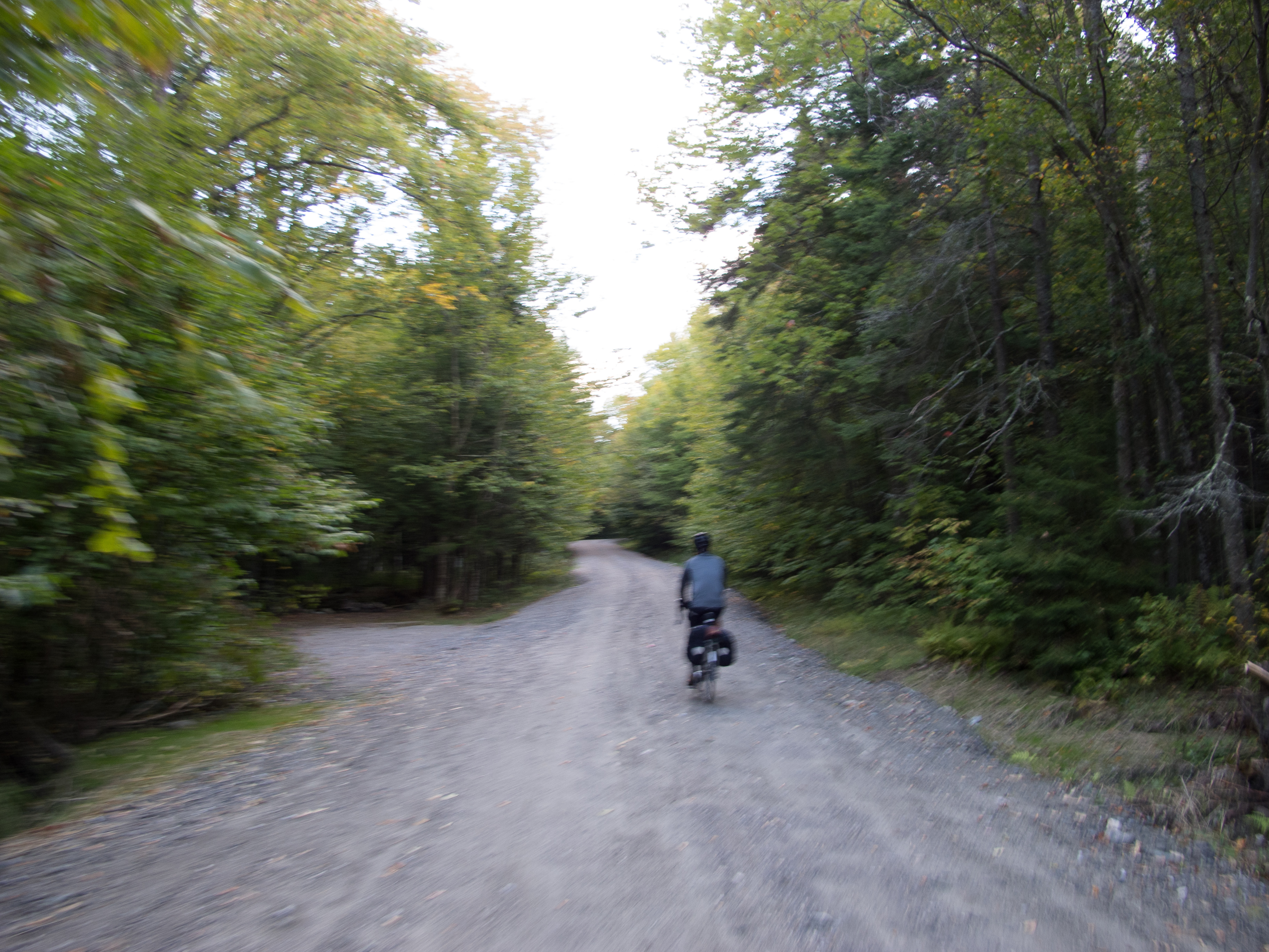
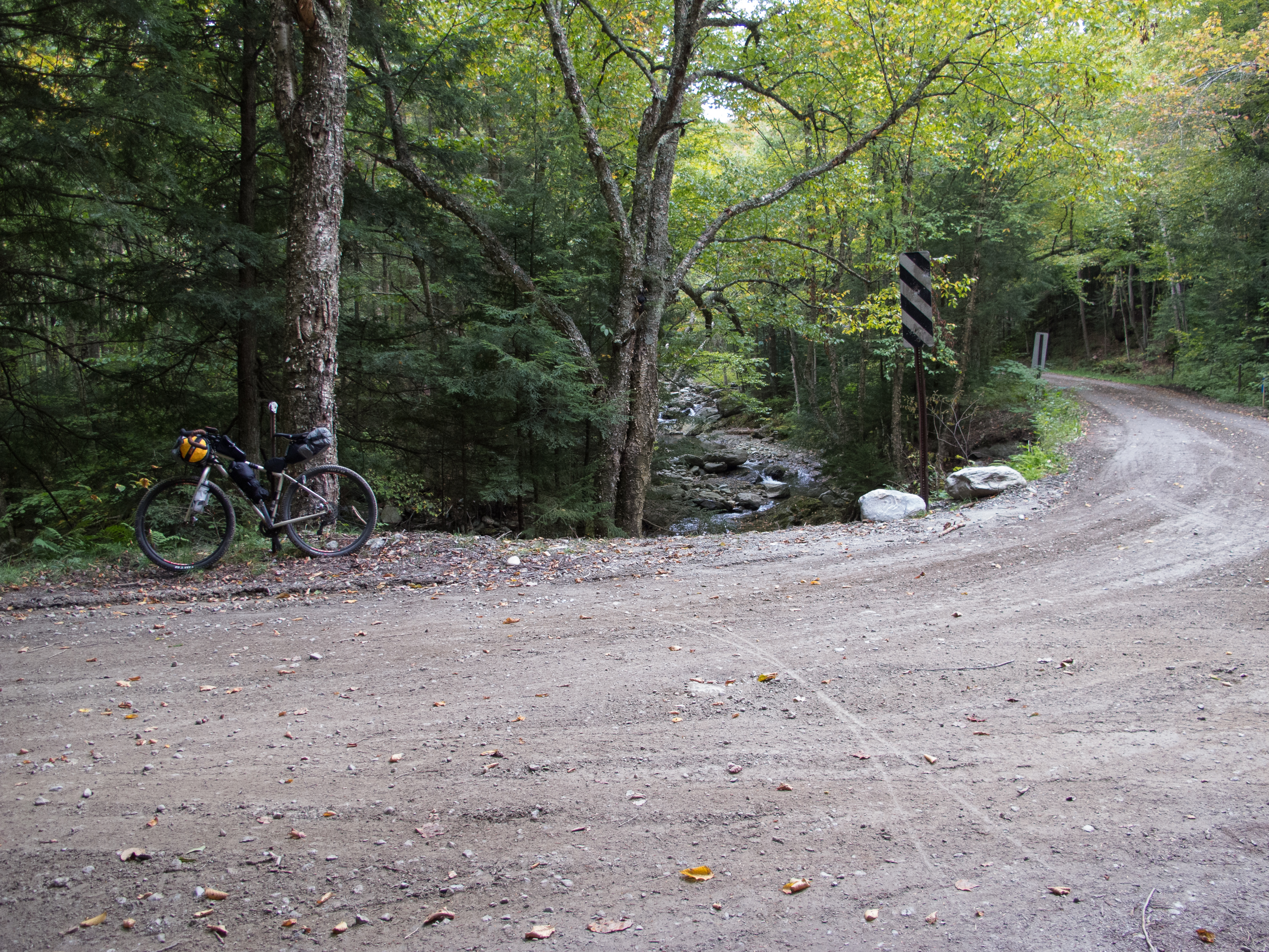
I bid the NF Ranger goodbye on the way out, snapped a few pics of the lake from the north end, and took off out the campground road. The first quarter mile was pretty steep and loose – so I warmed up by pushing the bike, then had a pleasant forest road that climbed and climbed out to Goshen-Ripton Rd.


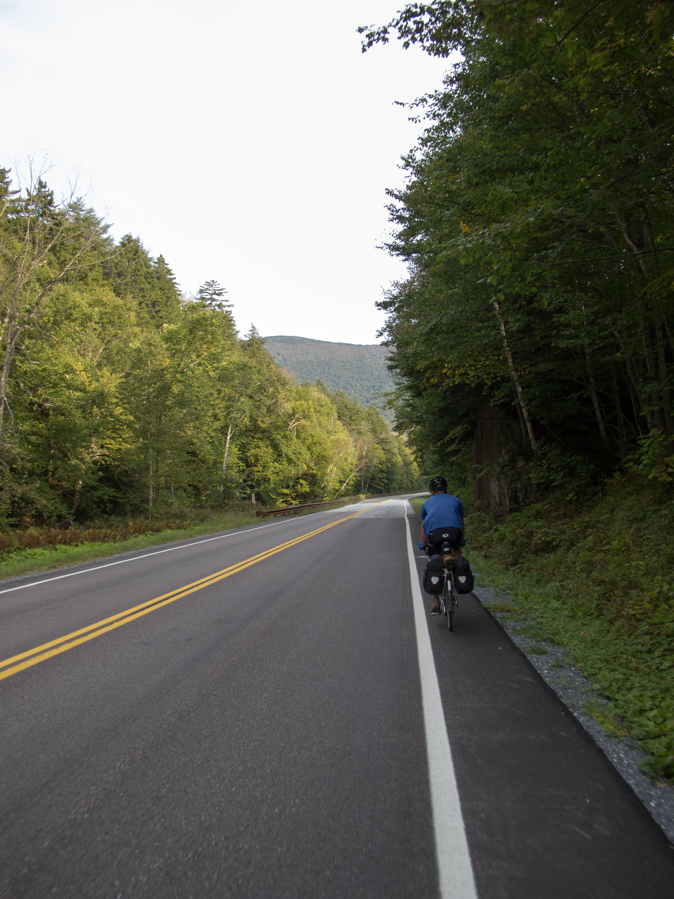
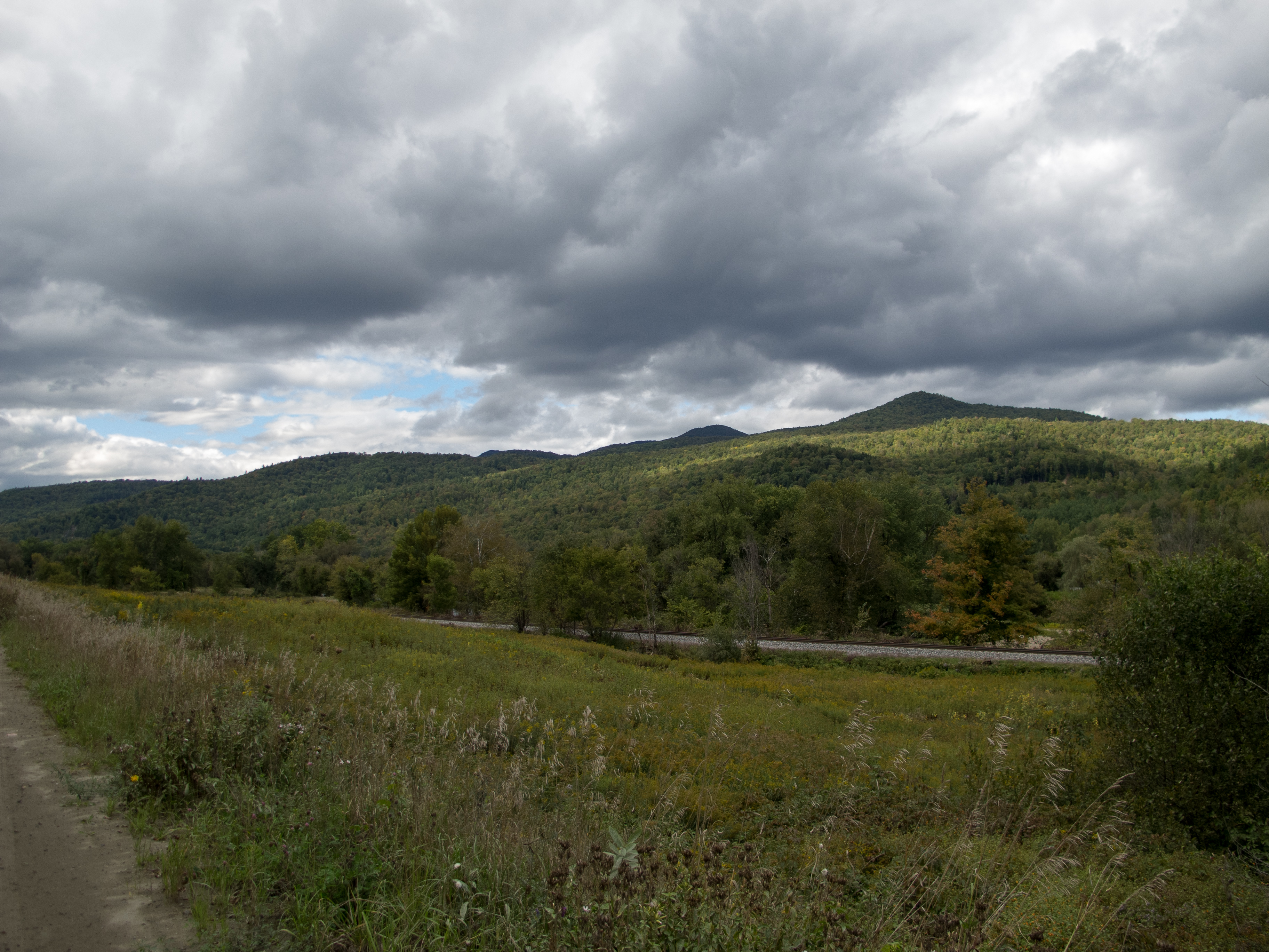
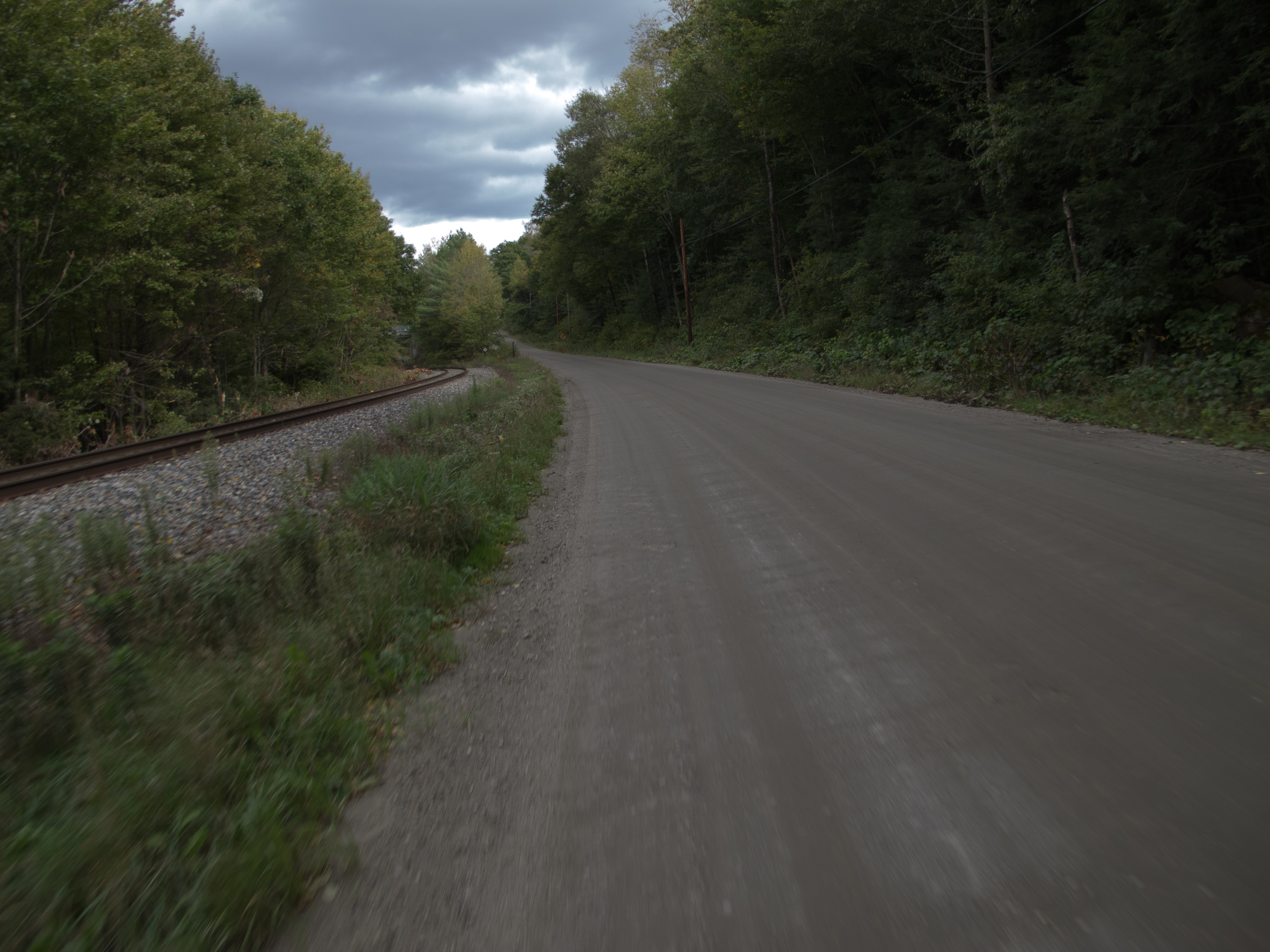
I turned north, passed the Blueberry Hill Inn where ultra runners were staging their suitcases and car rides, and was nearly hit head on by a speeding red Honda coming over a blind hill / turn. Scared the crap out of me, and its likely they never even saw me – not even a hint of slowing as they crested the hill. As the adrenaline rush wore off I found my turn to the Sugar Hill Reservoir on Goshen Dam Rd., and followed it to the single track that would connect me high up on Brooks Rd. The trail was double track at first, then petered out to single track. It was wet in places, with lots of small water bars coming across. Splashy in some spots, slimy in others. I managed to ride most of the trail save a few turns that were a bit too steep to keep traction to the rear wheel.


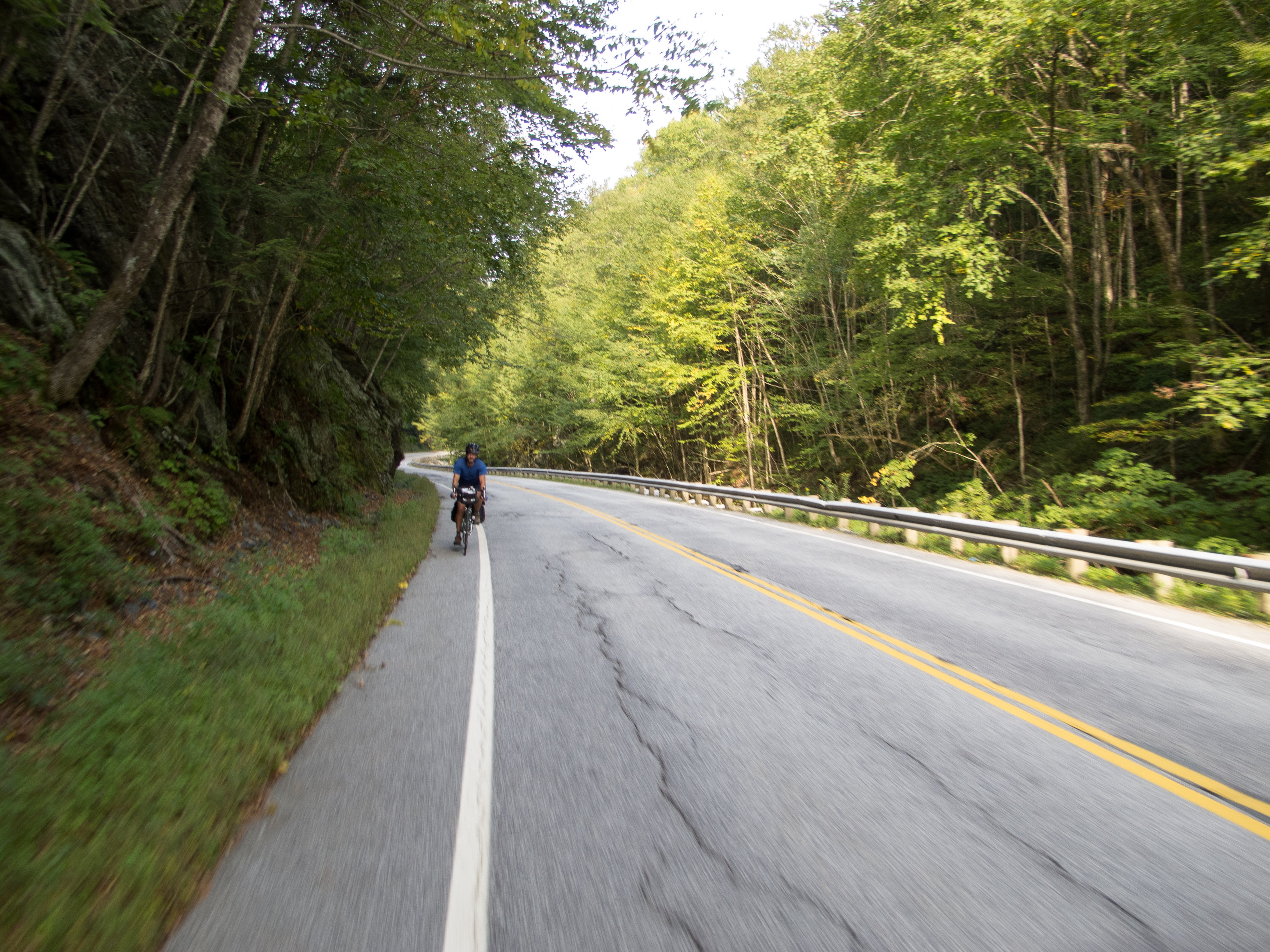
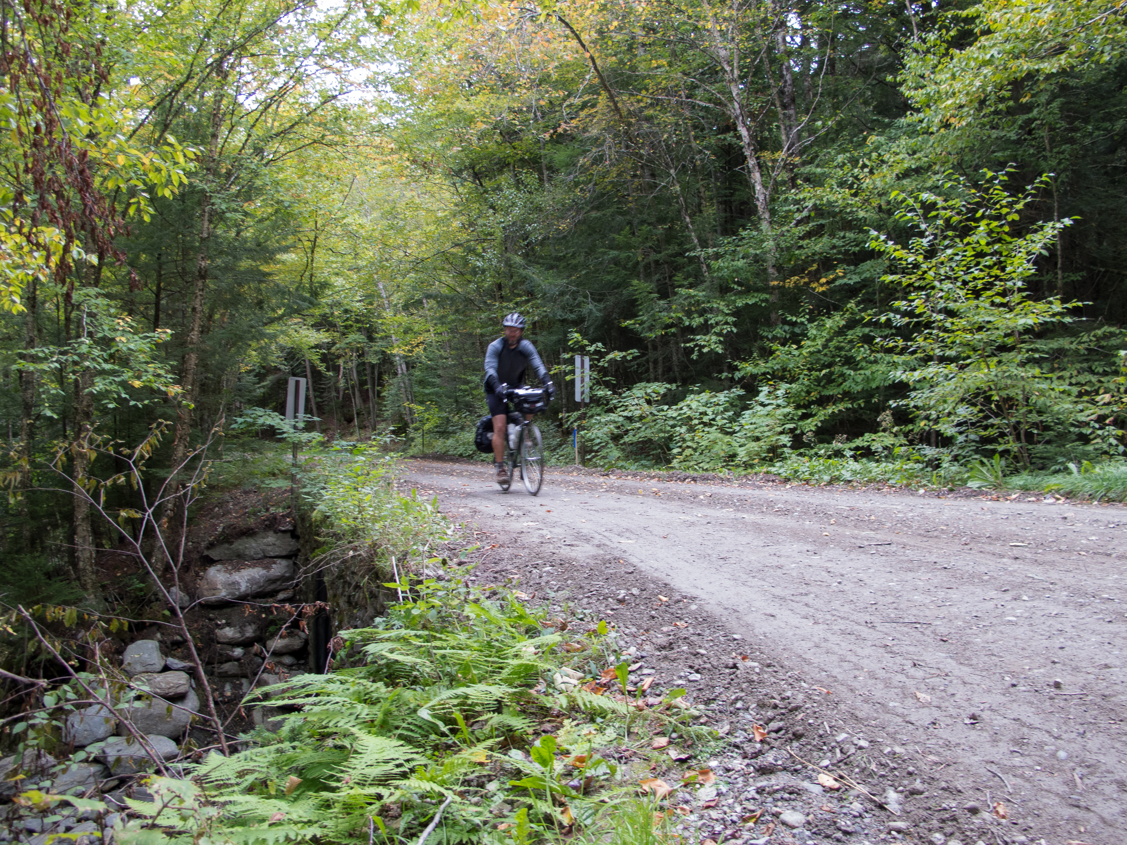
I eventually found the eastern terminus, where the Sucker Brook Trail heads uphill to the Long Trail and a shelter. I turned north, across a tight footbridge, and then bombed down Brooks Rd. I popped out near the Breadloaf campus on 125, adjusted some gear and layers, and found Steam Mill Rd.


Steam Mill Rd. took me up up and up again, gaining back all the elevation I had lost coming down Brooks Rd. I passed numerous xc ski trails, snow mobile trails, and a few hiking pull offs. At this point I stripped my knickers and added some Lantiseptic to my bottom, switched into shorts, ditched my vest, and had a snack. As I was sitting on the hillside along the road came two cyclists on hybrids, baskets on the front, gray hair flowing from under their helmets. I mumbled a hello with Clif bar stuffed in my mouth, then packed up to follow them. By the time I was rolling I could barely see them 1/4 mile away over the next rise, and only caught up to them at the intersection of the Natural Turnpike. We exchanged waves and I turned north, and up, towards South Lincoln.

Along this fairly remote stretch I was passed by one car, heading to opposite direction, and saw another truck off in the ditch, with the owners spotting something off in the field with binoculars. I heard multiple gun blasts as I rode along. Not sure if people were practice shooting… or what.


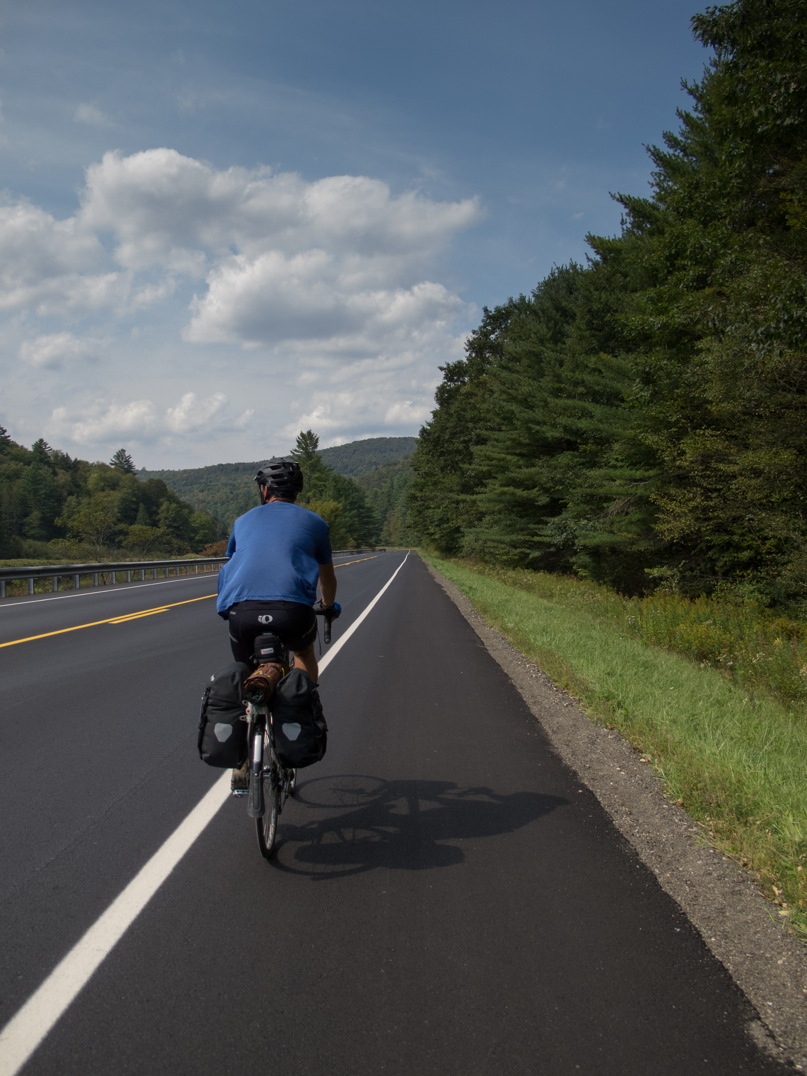
At about 19 miles into my day I topped out at 2100′ and began a descent into South Lincoln. The gravel / dirt was in great shape save for a few chunky parts where I got caught out on the wrong side of the road with a mound of gravel between me and the right side. I descended quickly but cautiously and found my way to the relatively flat expanse of farms along side the New Haven River, which I would follow down nearly to Bristol.


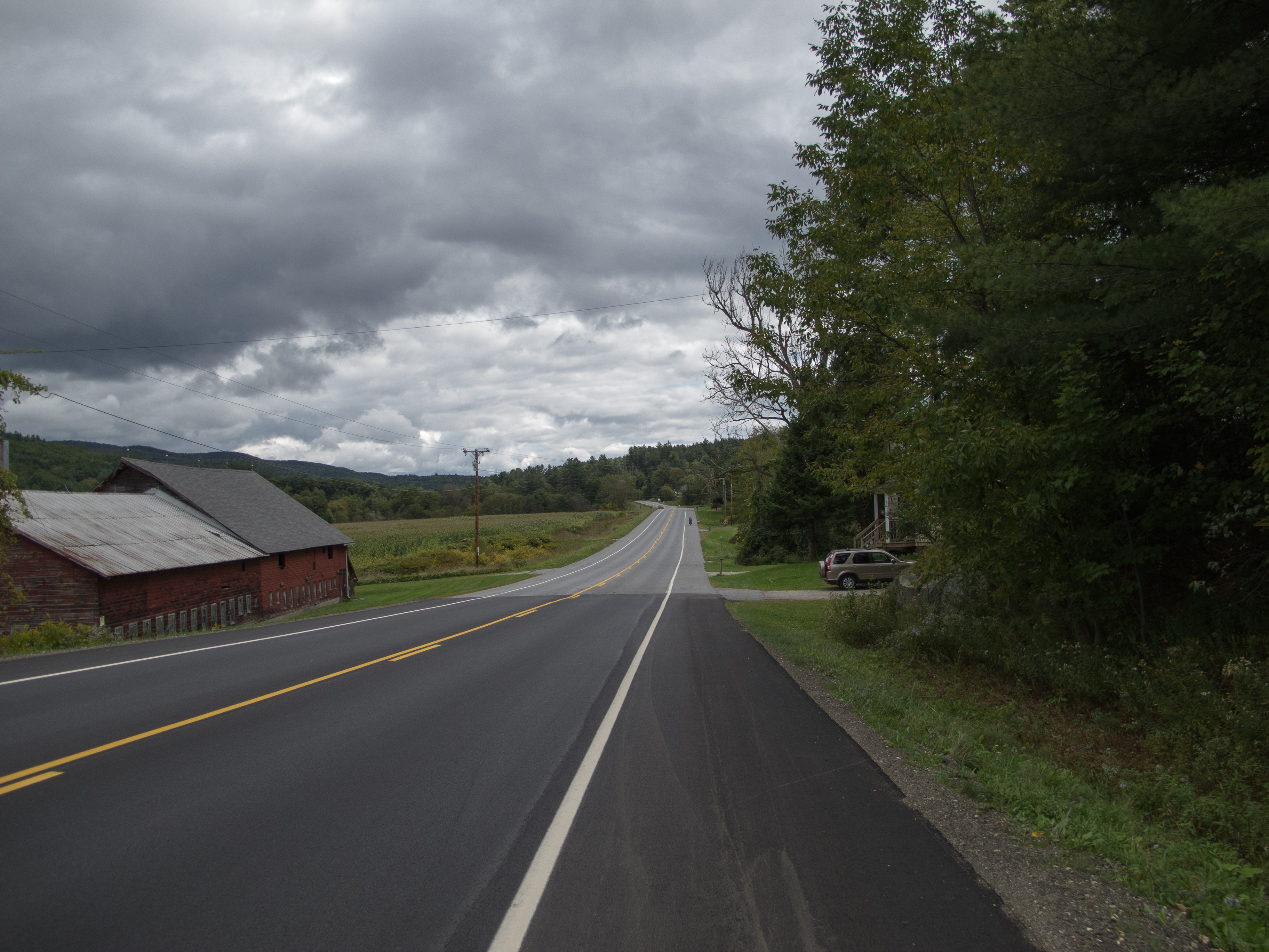
Once hitting pavement my descent was not as fast as I’d hoped – a strong headwind wanted to push me back up into the mountains – so I worked to maintain 16-17 mph when I should have been moving along effortlessly at 22-25. I was aiming for the Bristol Bakery and Cafe (a control on our spring 200k) for lunch, and would arrive at about 12:30, just before a crowd walked in. I snagged a coffee, homemade pound cake, a breakfast sandwich, and a berry smoothie. I sat outside and watched as clueless patrons let their dog (tied to their table) block just about all of the sidewalk. People on the street were not amused, some stepping over, some around, and some setting foot into the street, all while casting glances at the couple sitting over their laptops, blissfully unaware.
Bristol appears to be a motorcycle magnet – and today there were more ‘bikers’ out front on the street than perfectly matched Quebecois cycling couples. More swearing than French today, and a pack of Harley’s ‘loud pipes save lives’ ripped up Main St. and sent the dog cowering for cover under the table. Access problem now solved for the next batch of pedestrians.
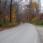
It was getting hot in the sun, so I sun screened up, adjusted bottles and fluids, and took off for home. I was about halfway done for the day, and technically, it is all downhill to Burlington… I just had to go over some speed bumps along the way. I had a flatter route than day one mapped on my GPS, but decided that baking in the sun wouldn’t be fun – so I followed my route in reverse to keep to quiet roads (most of them dirt) and the shade. Boro Hill Rd. wasn’t as steep in reverse – but it is still intimidating to see a swath of gravel what looks to be vertical rise up in front of you. I ground my way over the top, then pave and dirt to the Lewis Creek Covered Bridge and Spear St. for the ‘ride of shame’ back into town. Thankfully I was only passed by a single roadie on this popular out and back for local Burlington cyclists… everyone else was heading south, and for the first time ever on this road I think I had 90% of them waving, nodding, or acknowledging my presence. Bizarre.


I found my way through town, and picked up the lakefront path to finish my ride. Dog walkers and roller bladers seemed to be on their best behavior, and I only had to raise my eyebrows at one couple tucked into their aerobars going far too fast weaving in and out of kids on scooters and parents with pooches. Safely home I dropped gear in the basement, unpacked my tent and bag for an air out, and threw some food on the stove.
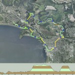
~128 miles
~13770′ in climbing
Pave, dirt road, gravel, forest road,
single track, double track, hike-a-bike
Camping, exploring
GPX Files:
Day 1
Chandler Ridge, Leicester Hollow Loop
Day 2
A lovely way to spend <48 hours.
[gallery link="file" columns="2" orderby="post_date"]


