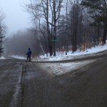
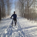
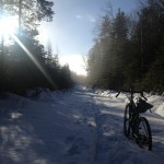
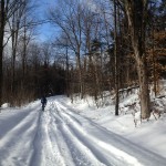
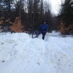
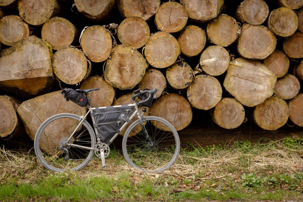
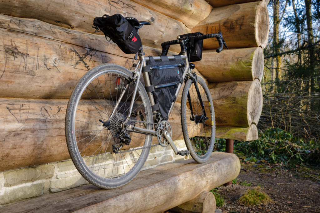
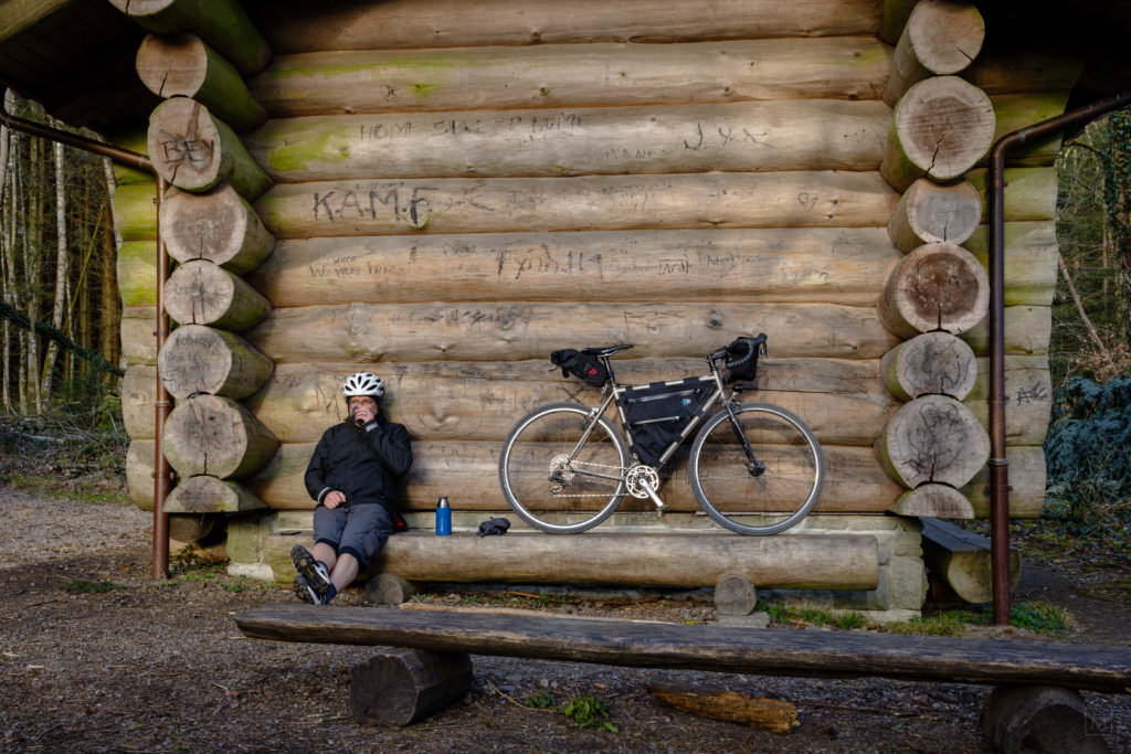
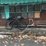
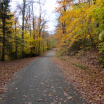
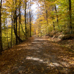
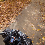
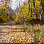
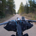
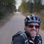
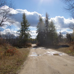
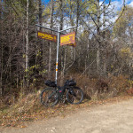
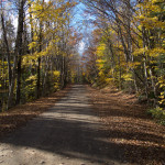
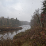
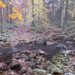
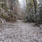
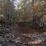
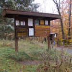
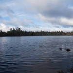
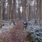
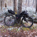
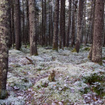
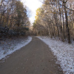
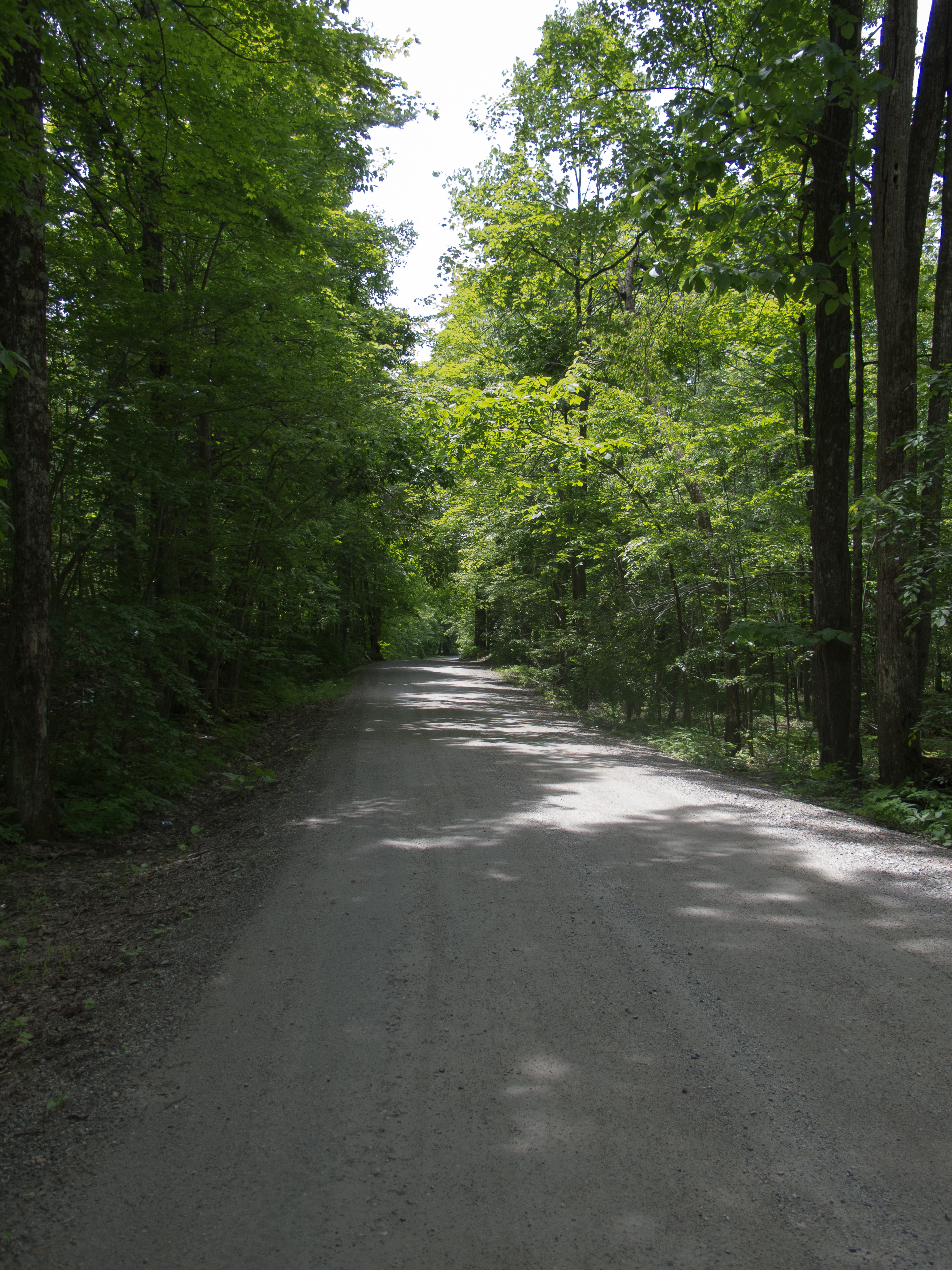
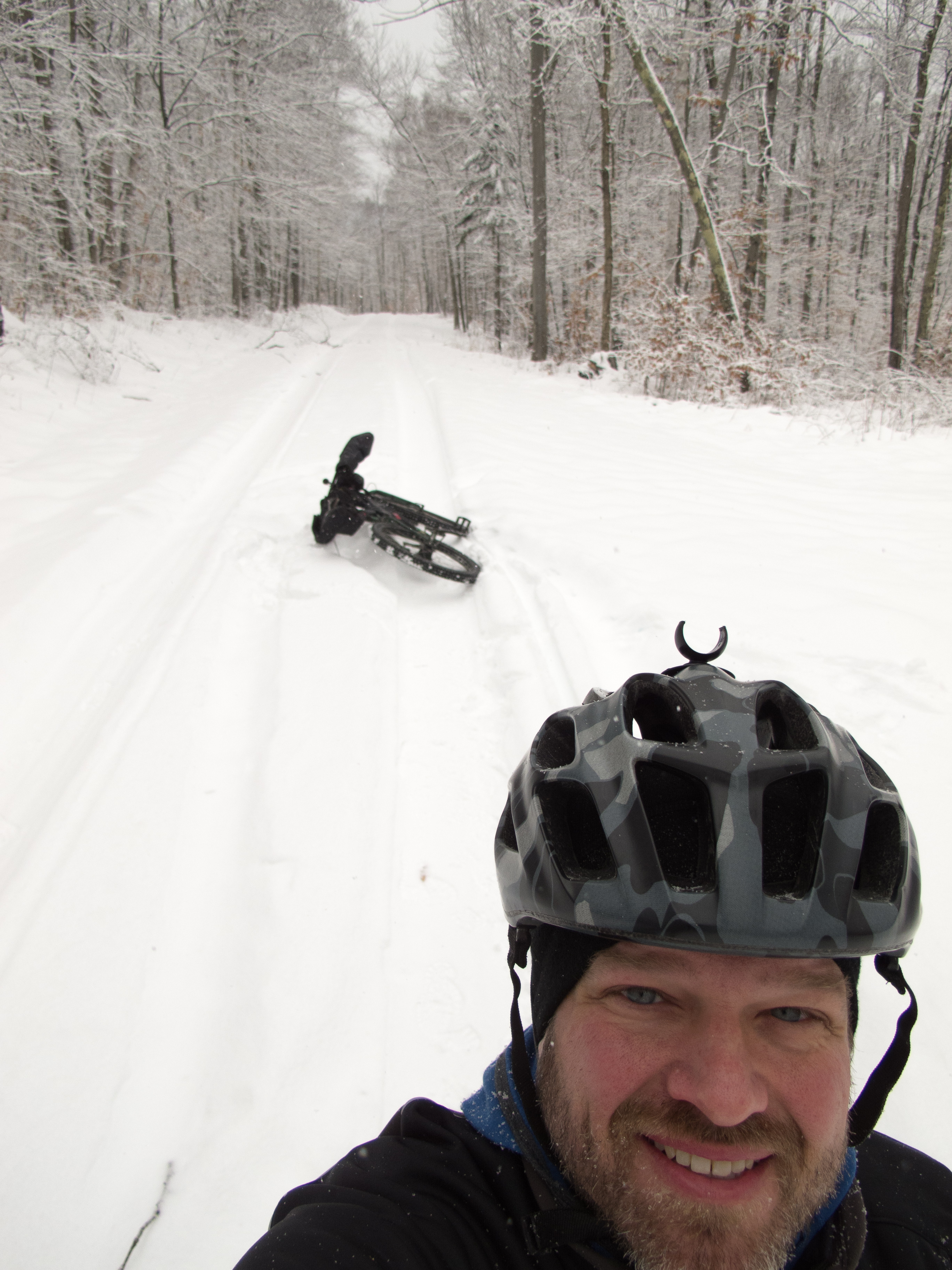
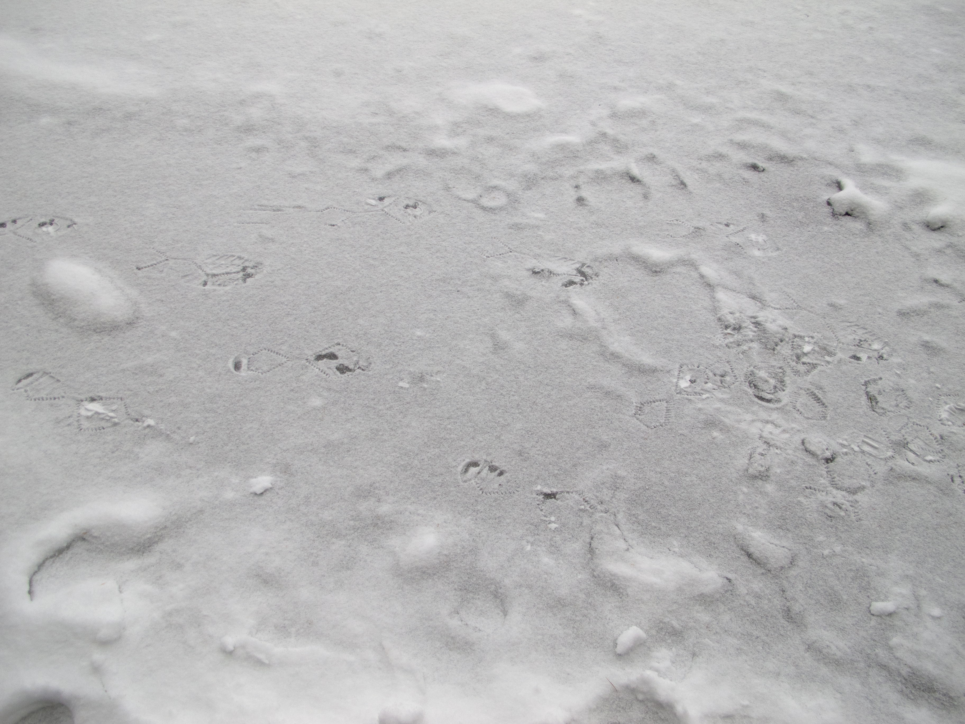
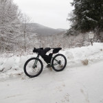
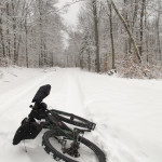
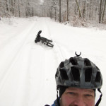
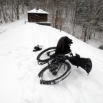
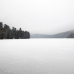
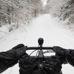
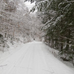
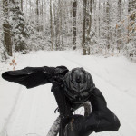
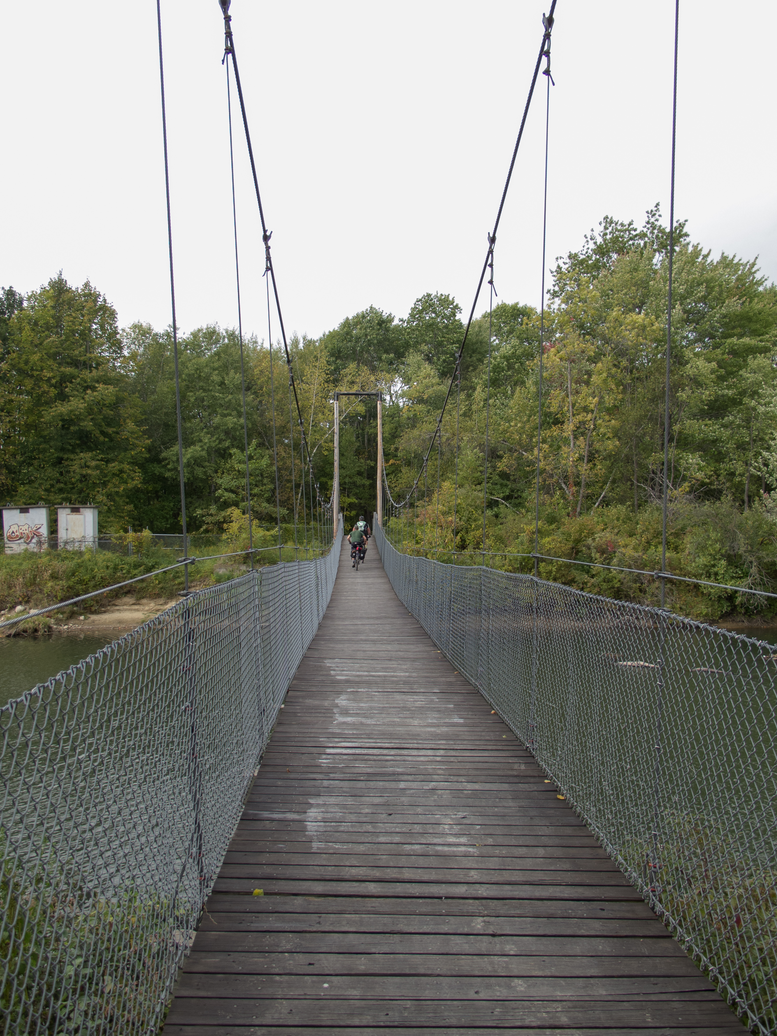
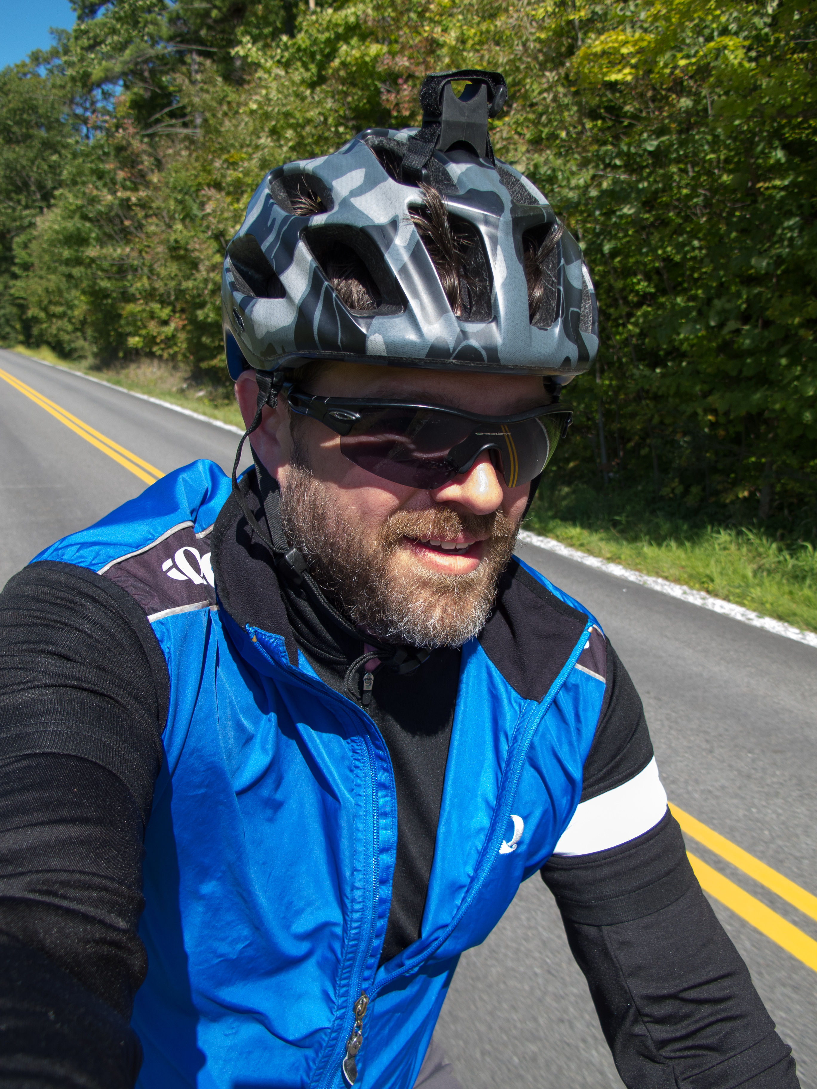
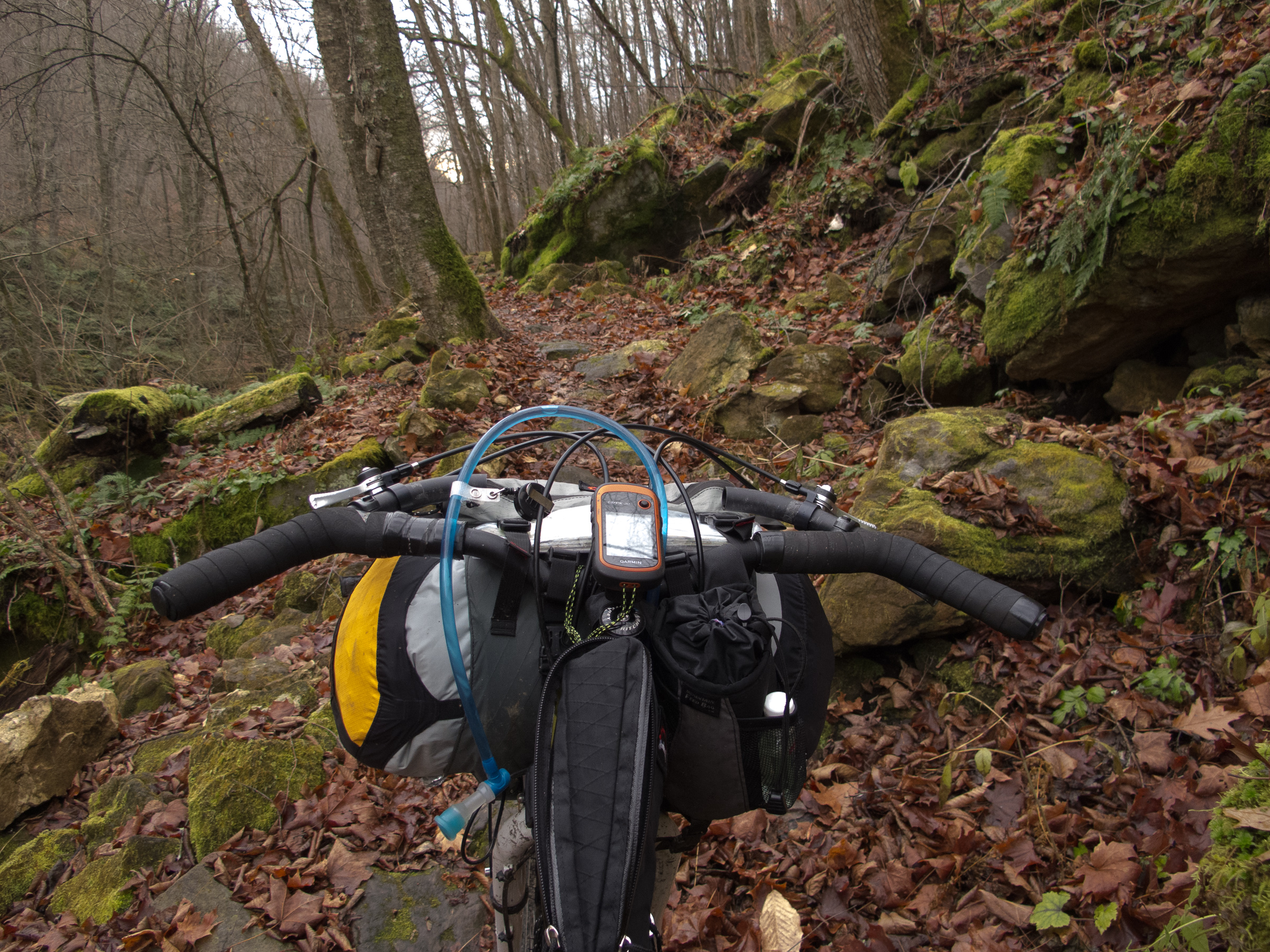
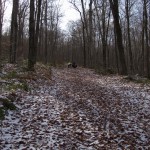
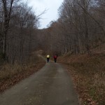
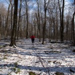
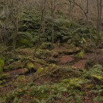
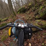
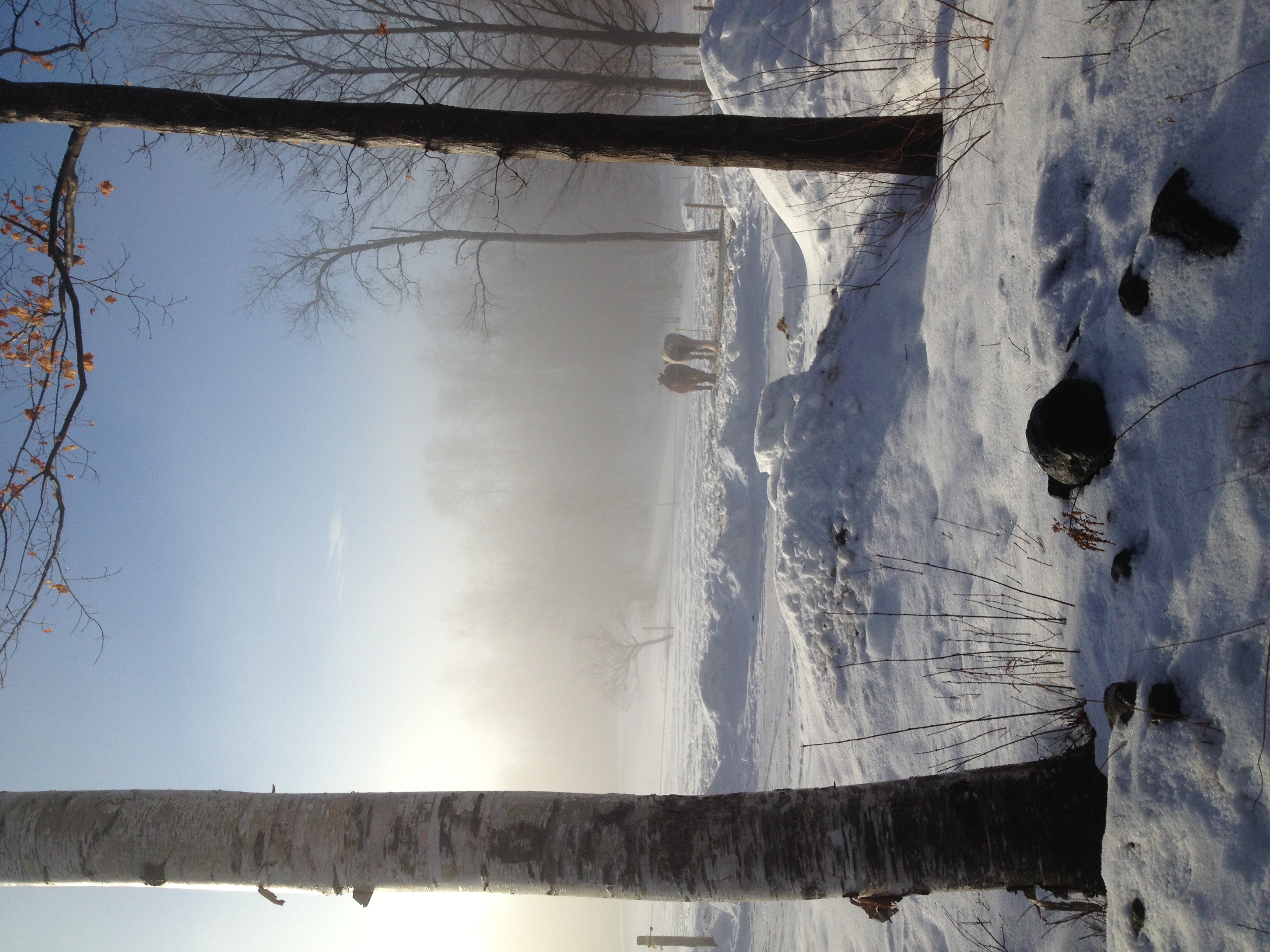
Been exploring the local woods these last couple weeks of ‘stay at home’. Feels great to get back on the bike and get to know my neighbourhood.
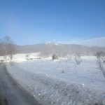
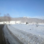
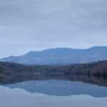
Vermont to Switzerland
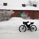
Been exploring the local woods these last couple weeks of ‘stay at home’. Feels great to get back on the bike and get to know my neighbourhood.
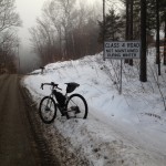
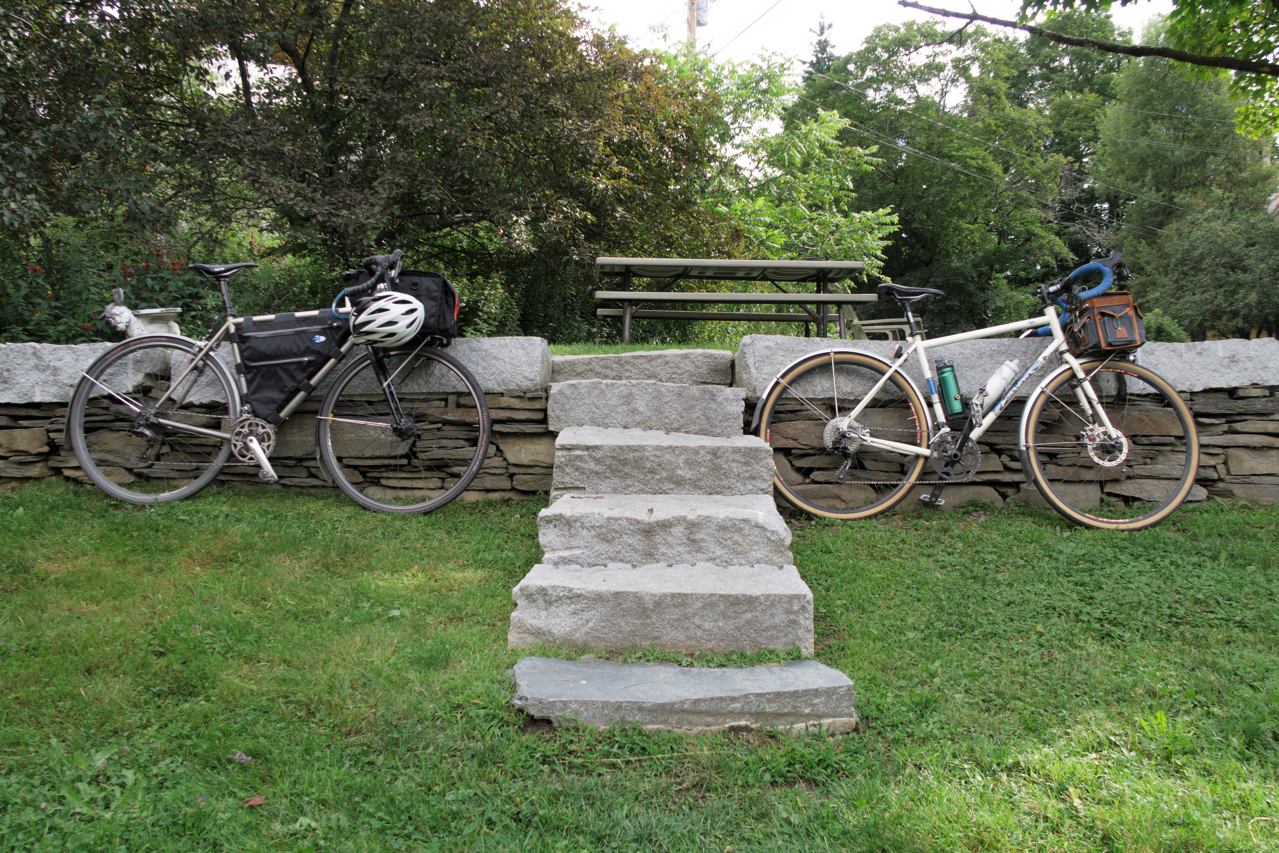
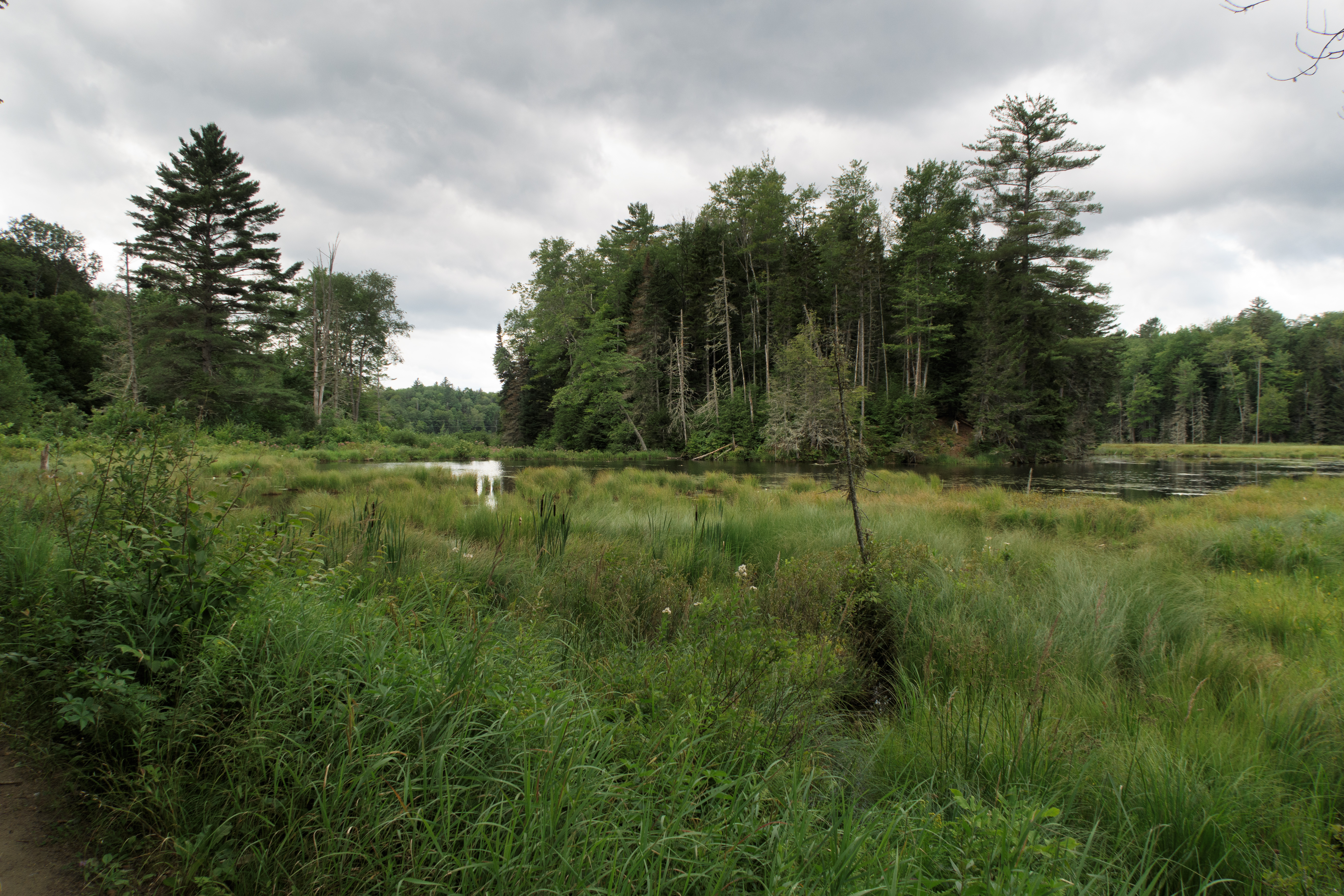
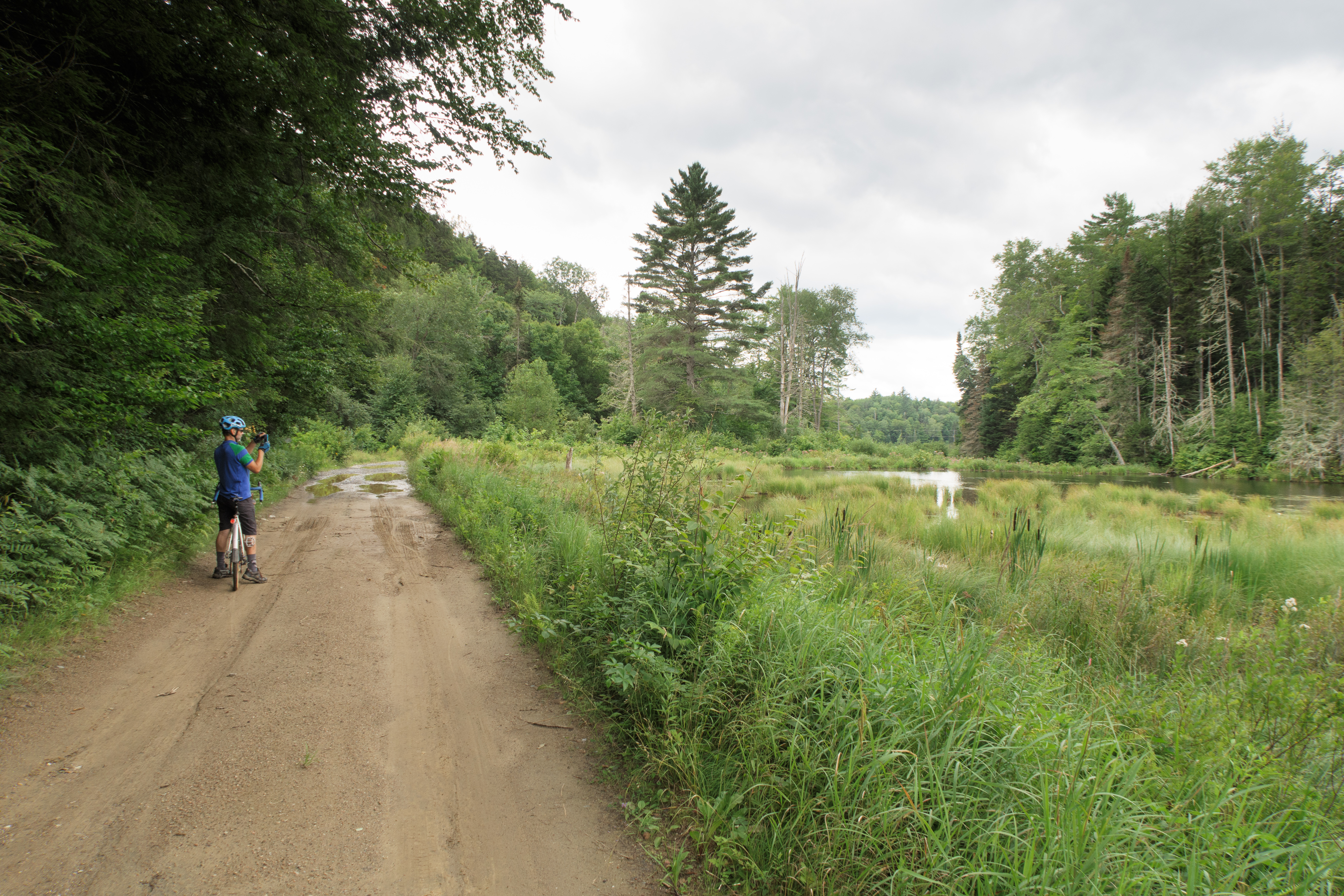
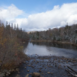
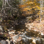
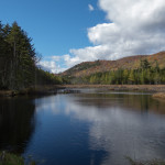
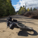
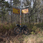
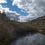
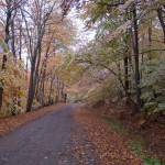
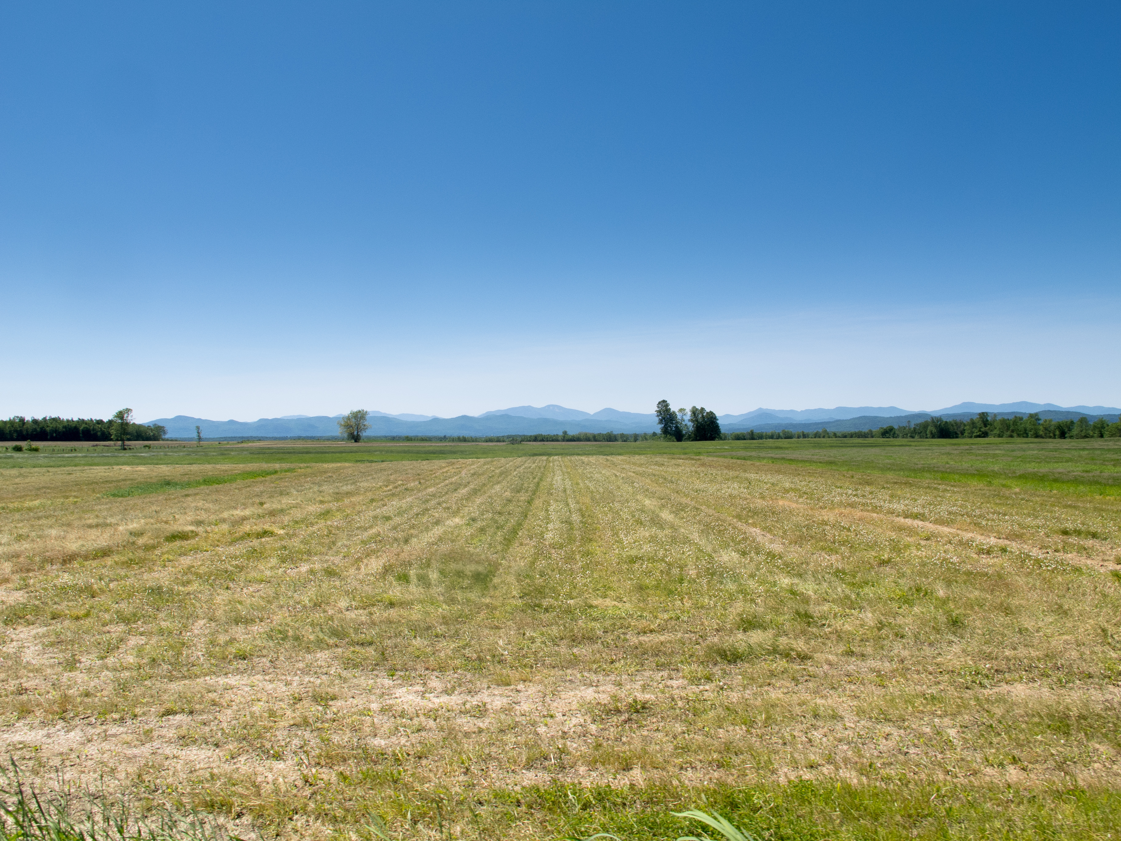
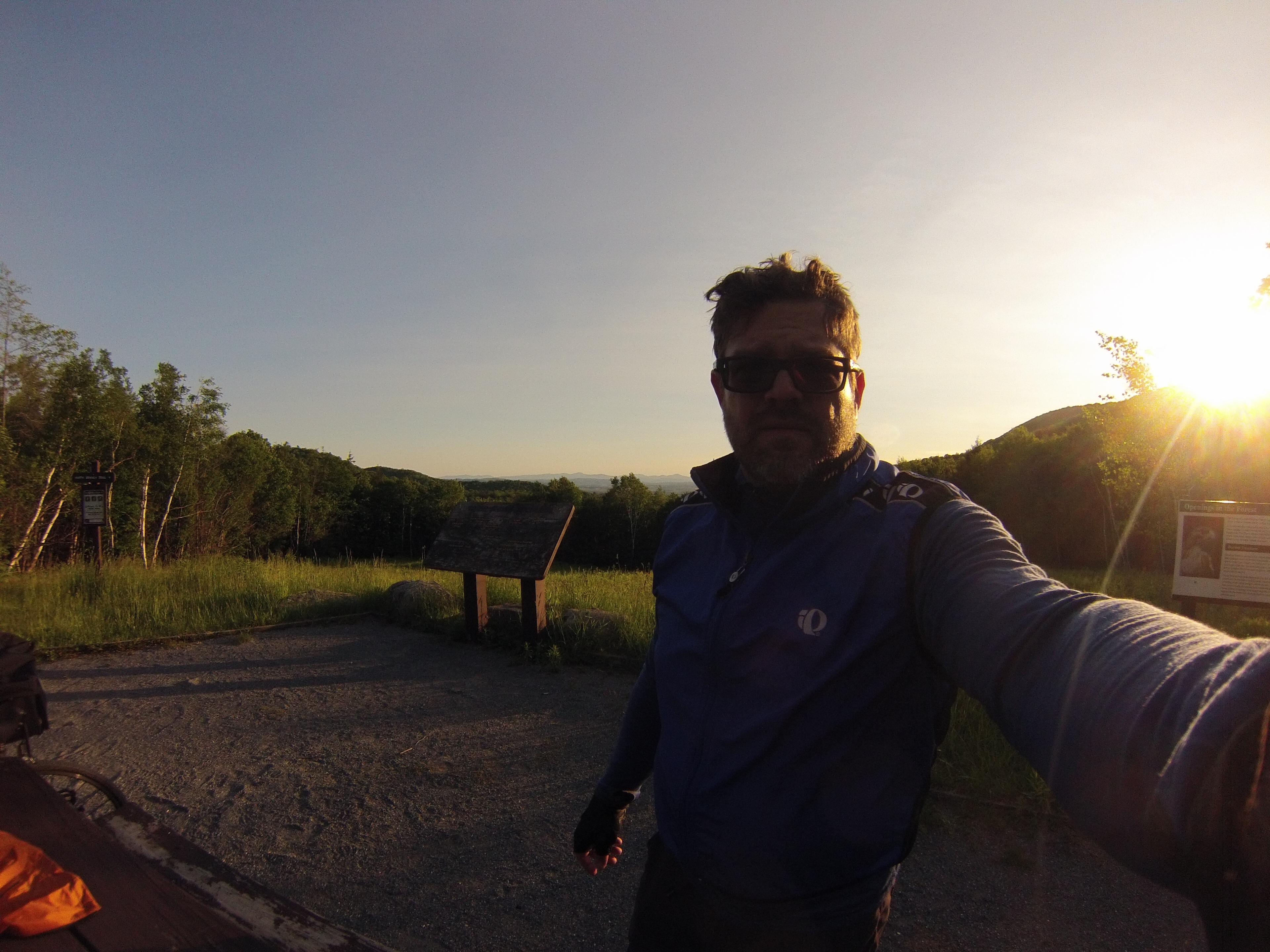
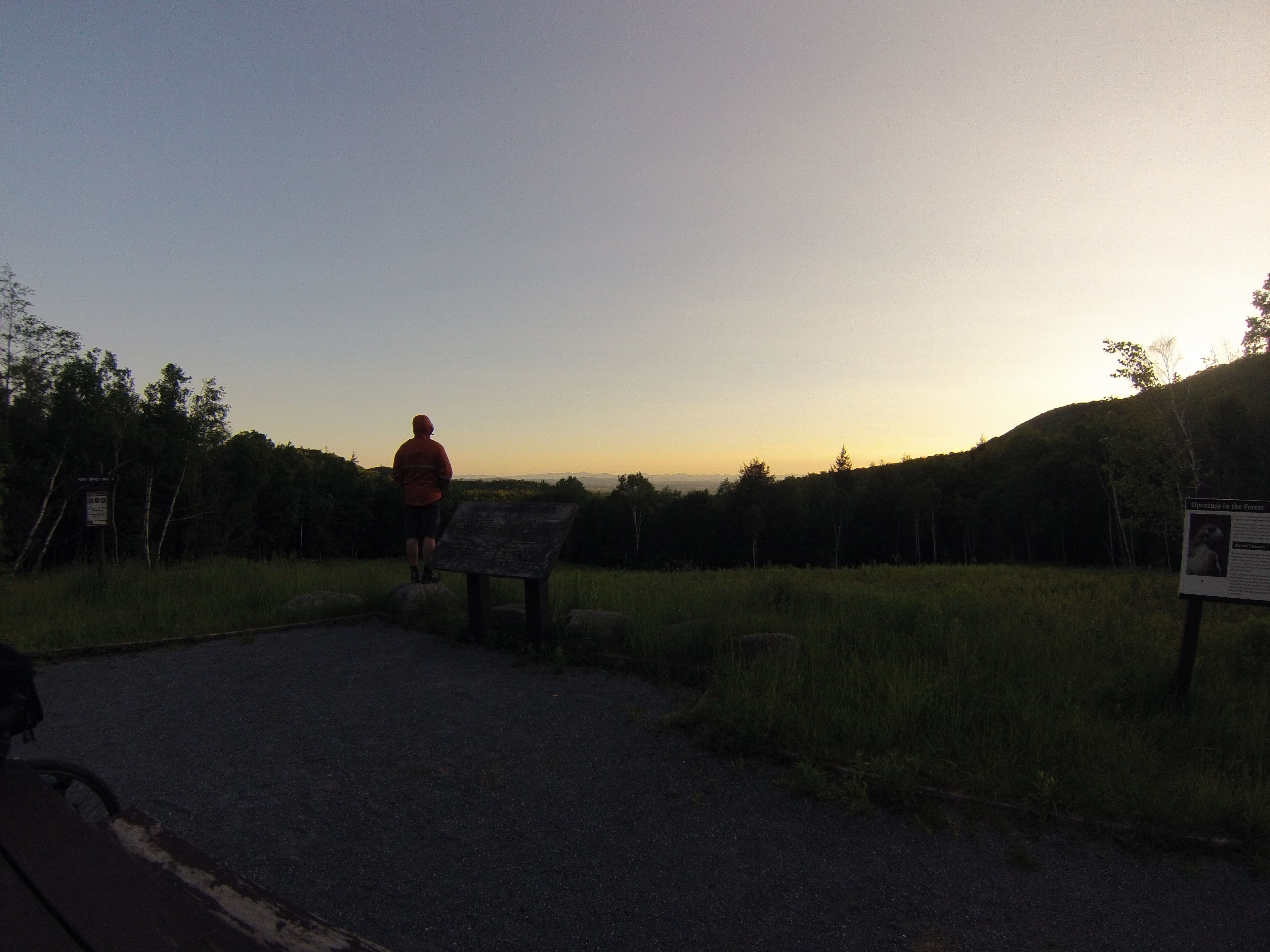
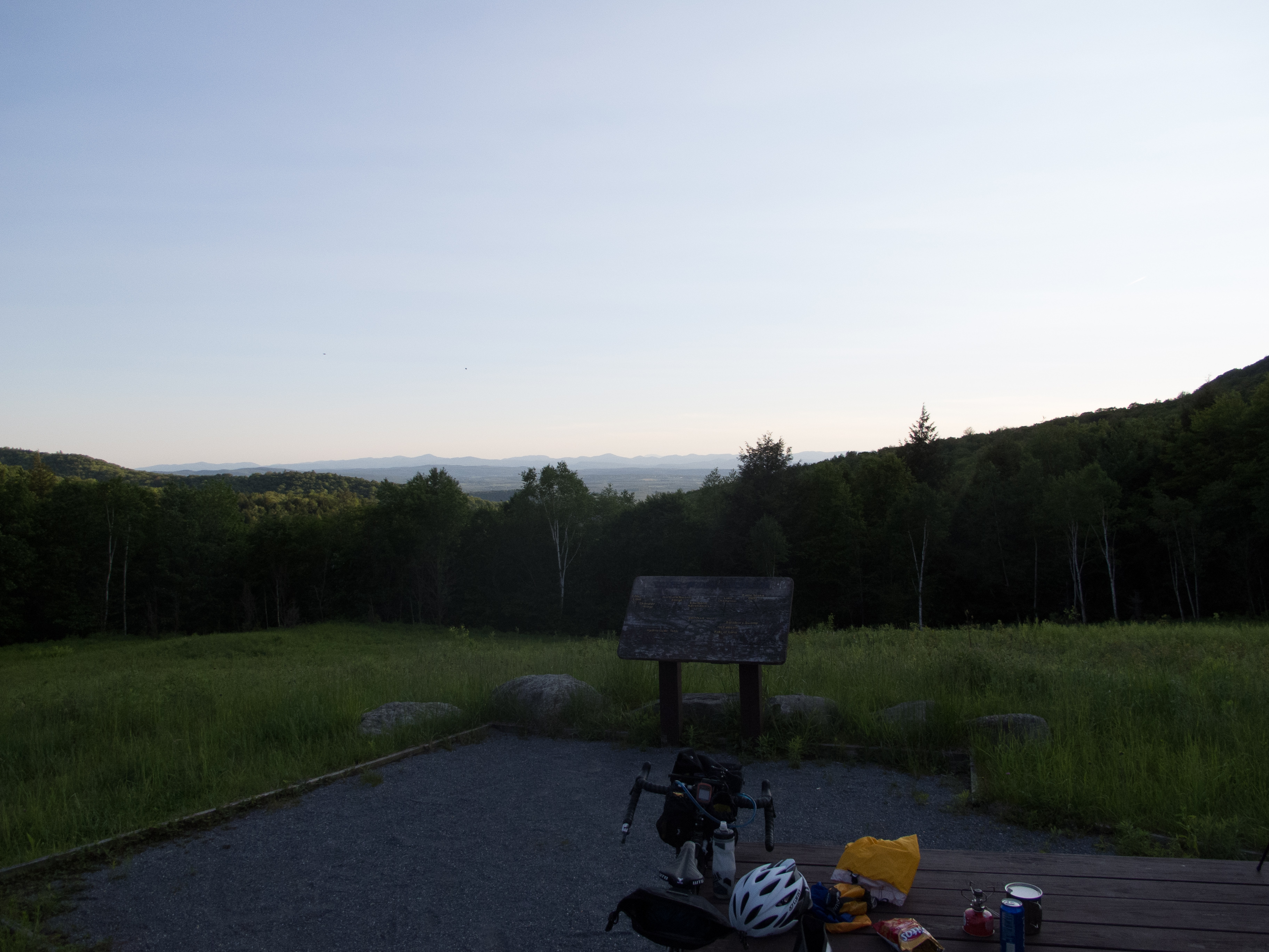
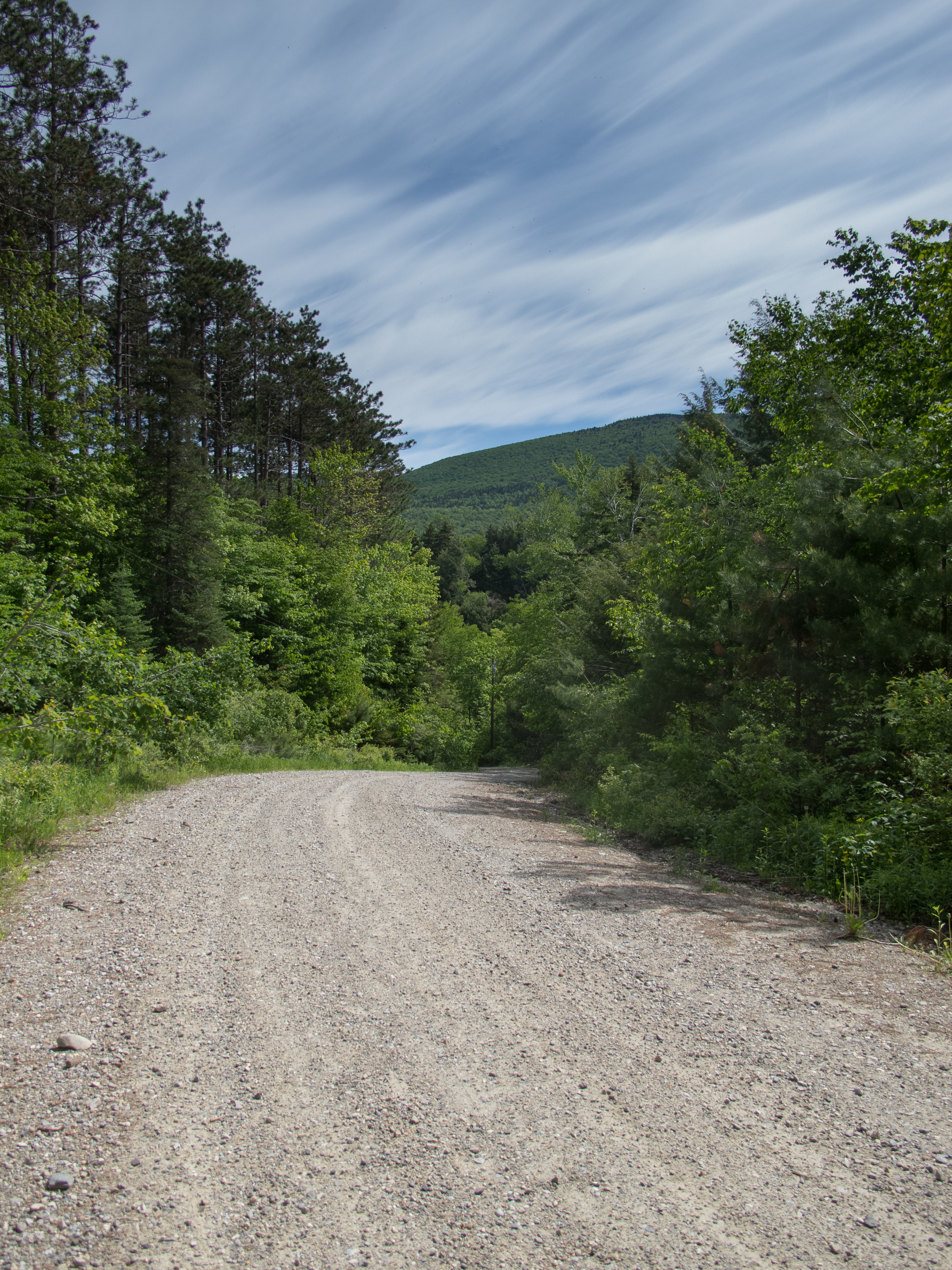
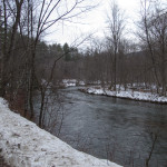
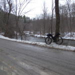
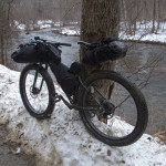
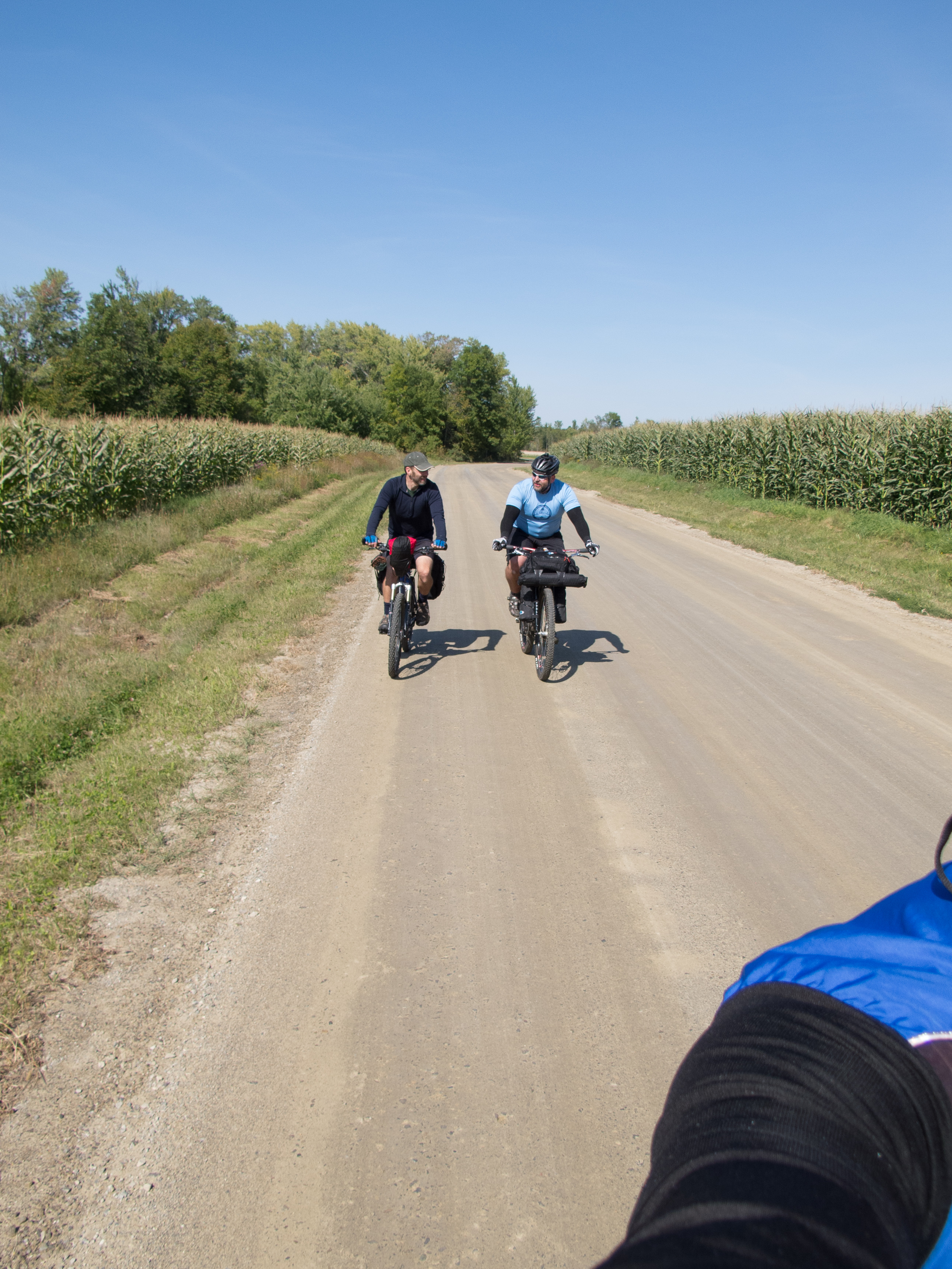
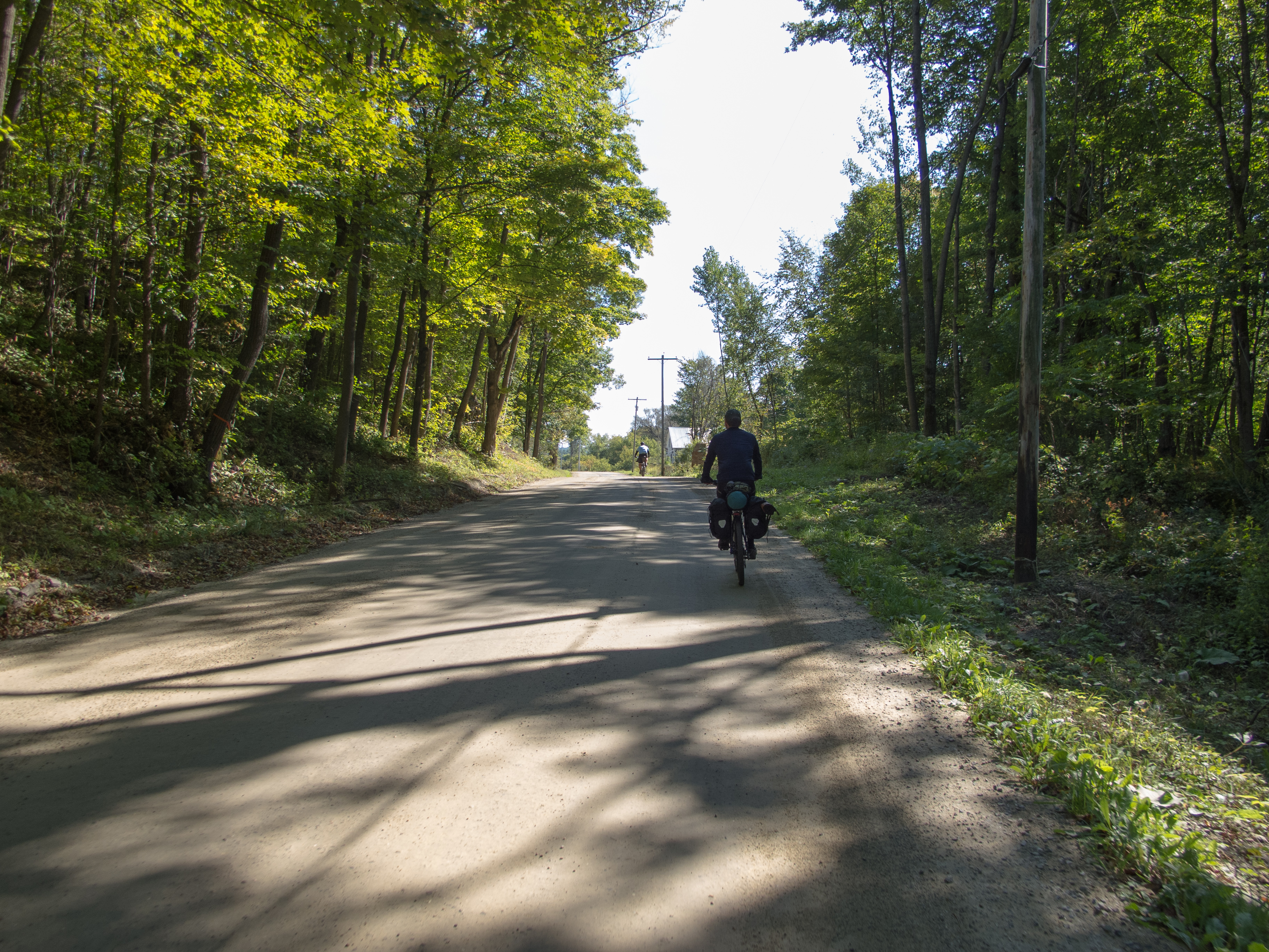
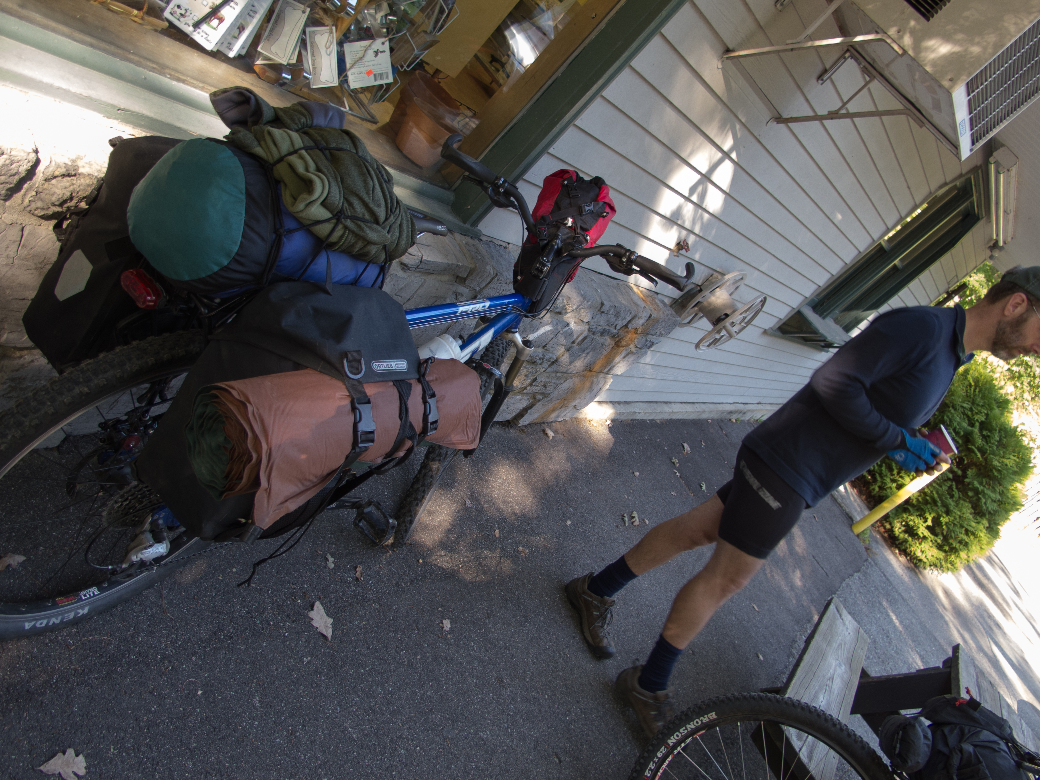
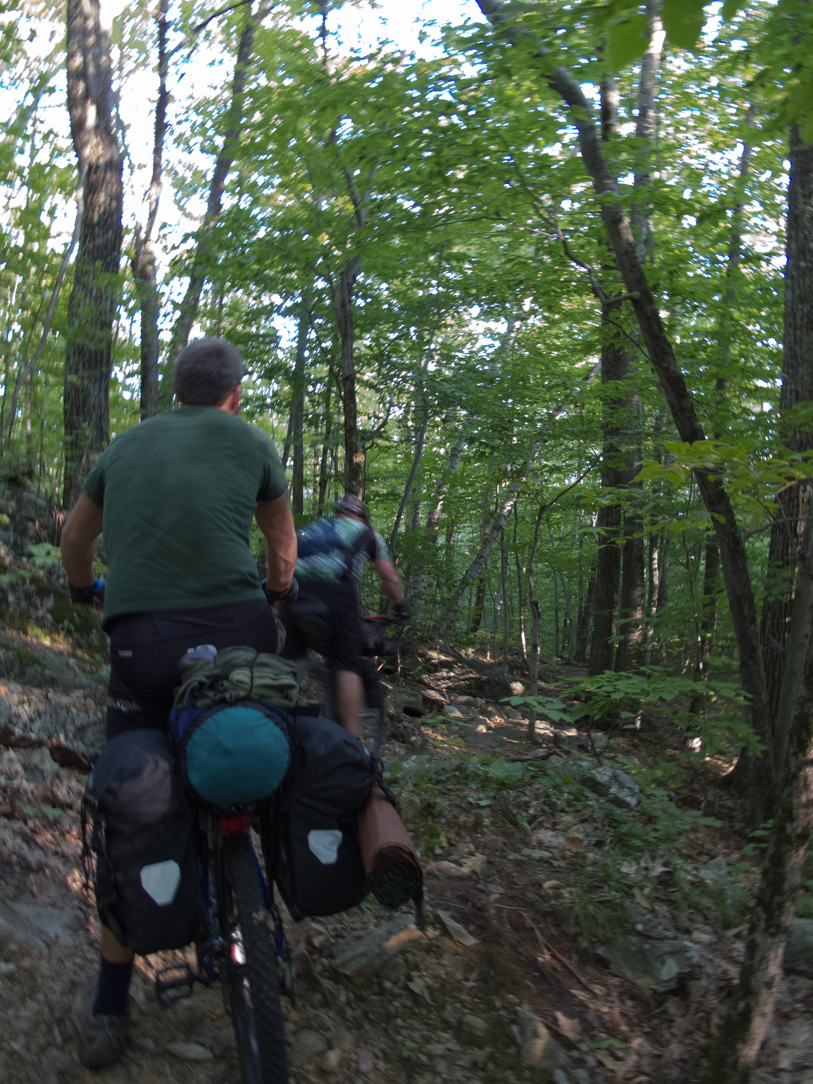
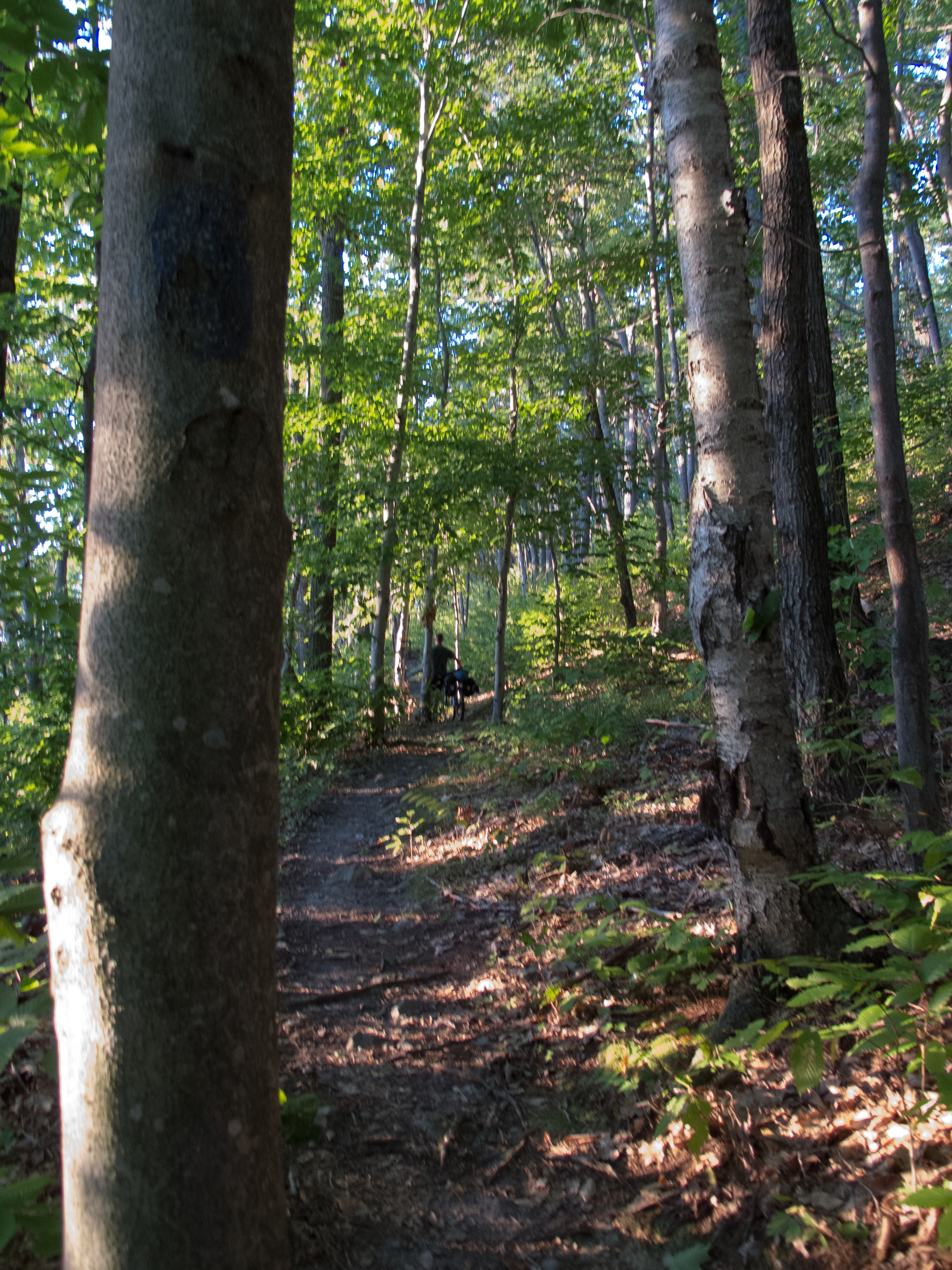
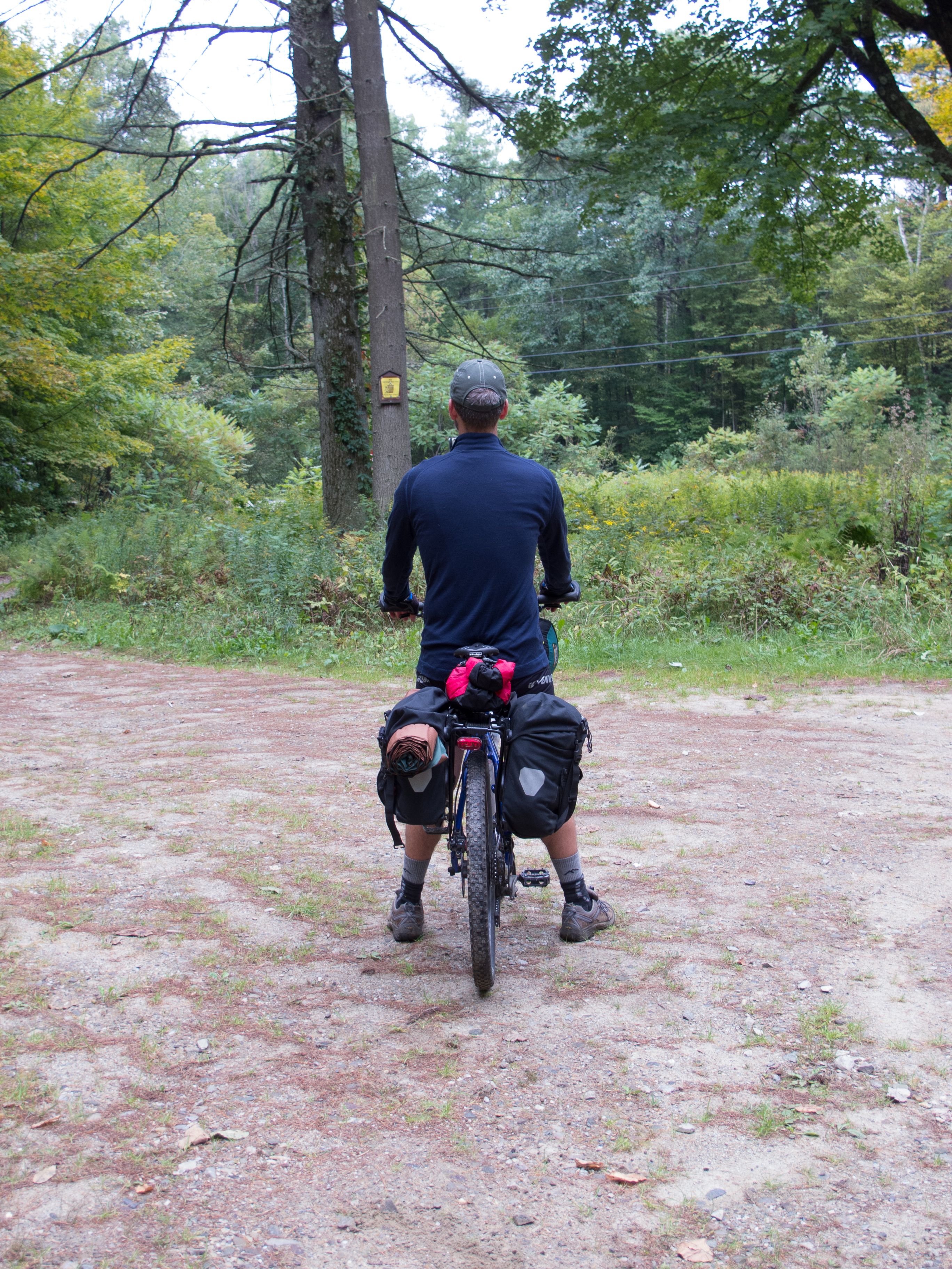
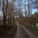
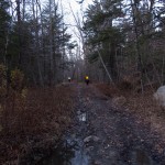
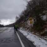
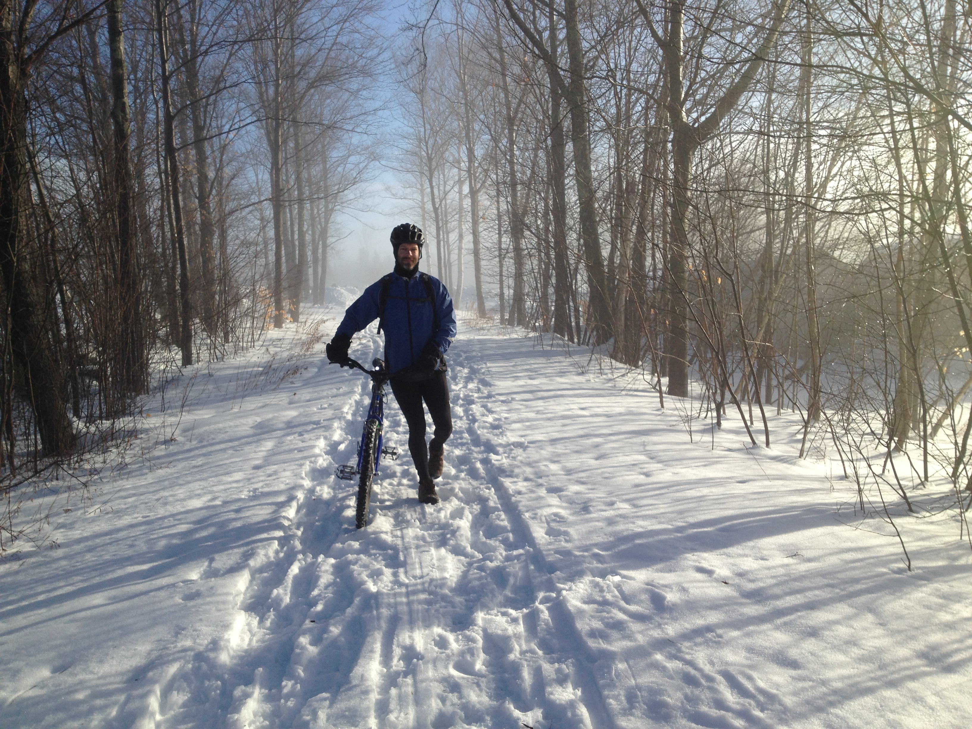
Lovely ~30 miles with Greg exploring the pavement and dirt near Montpelier. This was the first ride on the IF in a long long long time, and I felt good, despite not riding much this summer.
We pedaled pavement out of Montpelier, made a stop at Maple Corners store, then explored dirt.
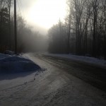
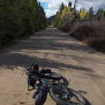
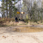
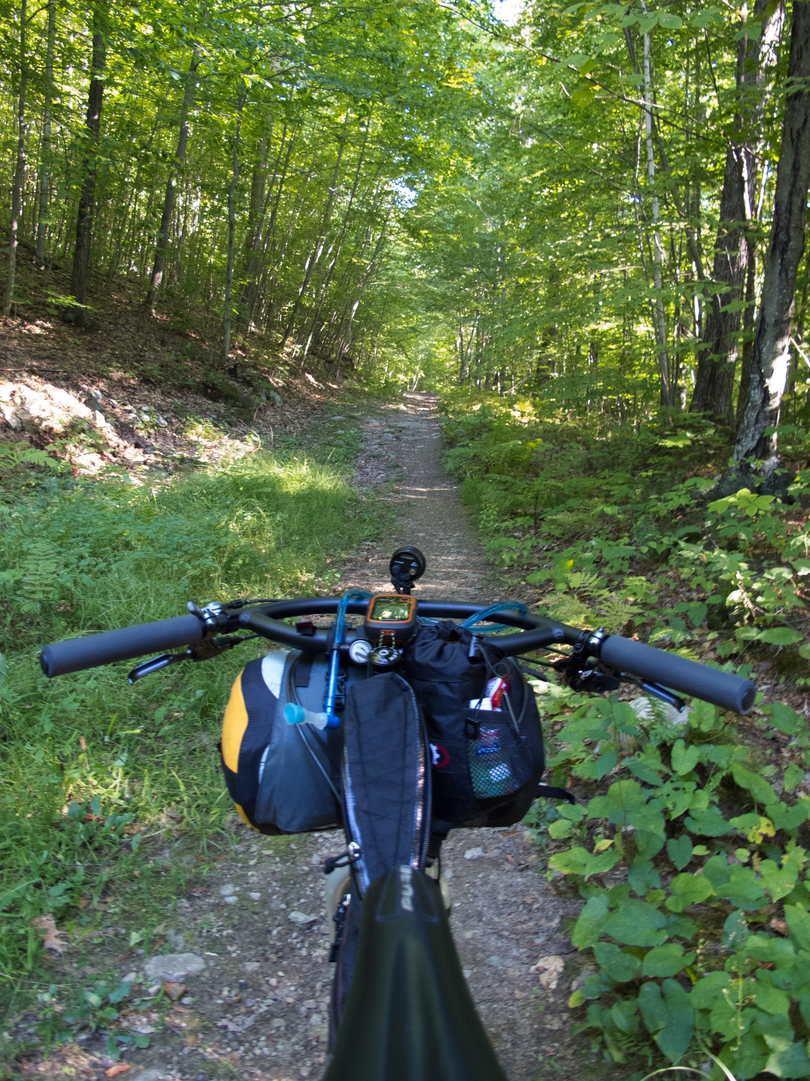
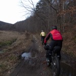
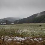
We eventually were swamped out, so we turned around and backtracked.
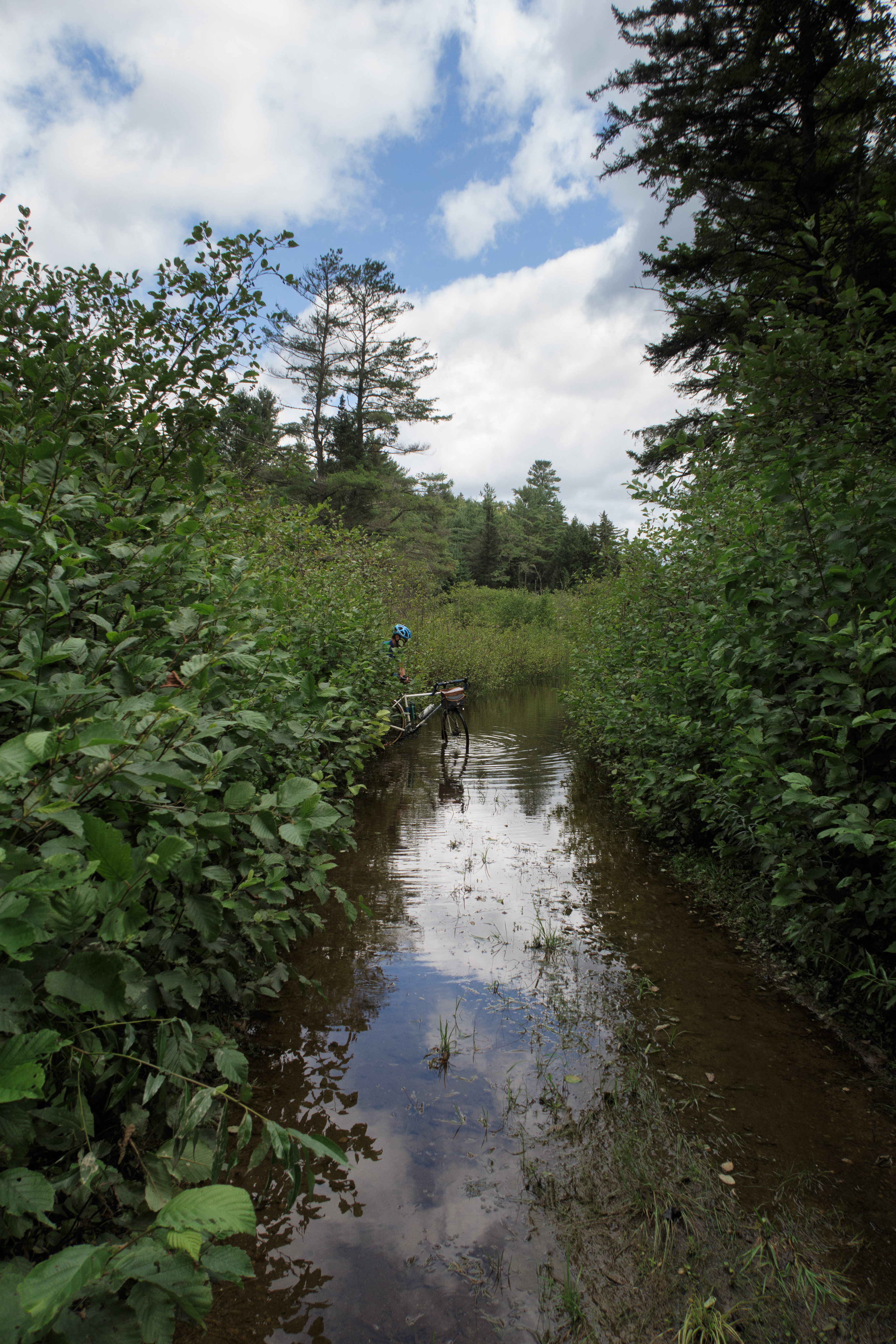
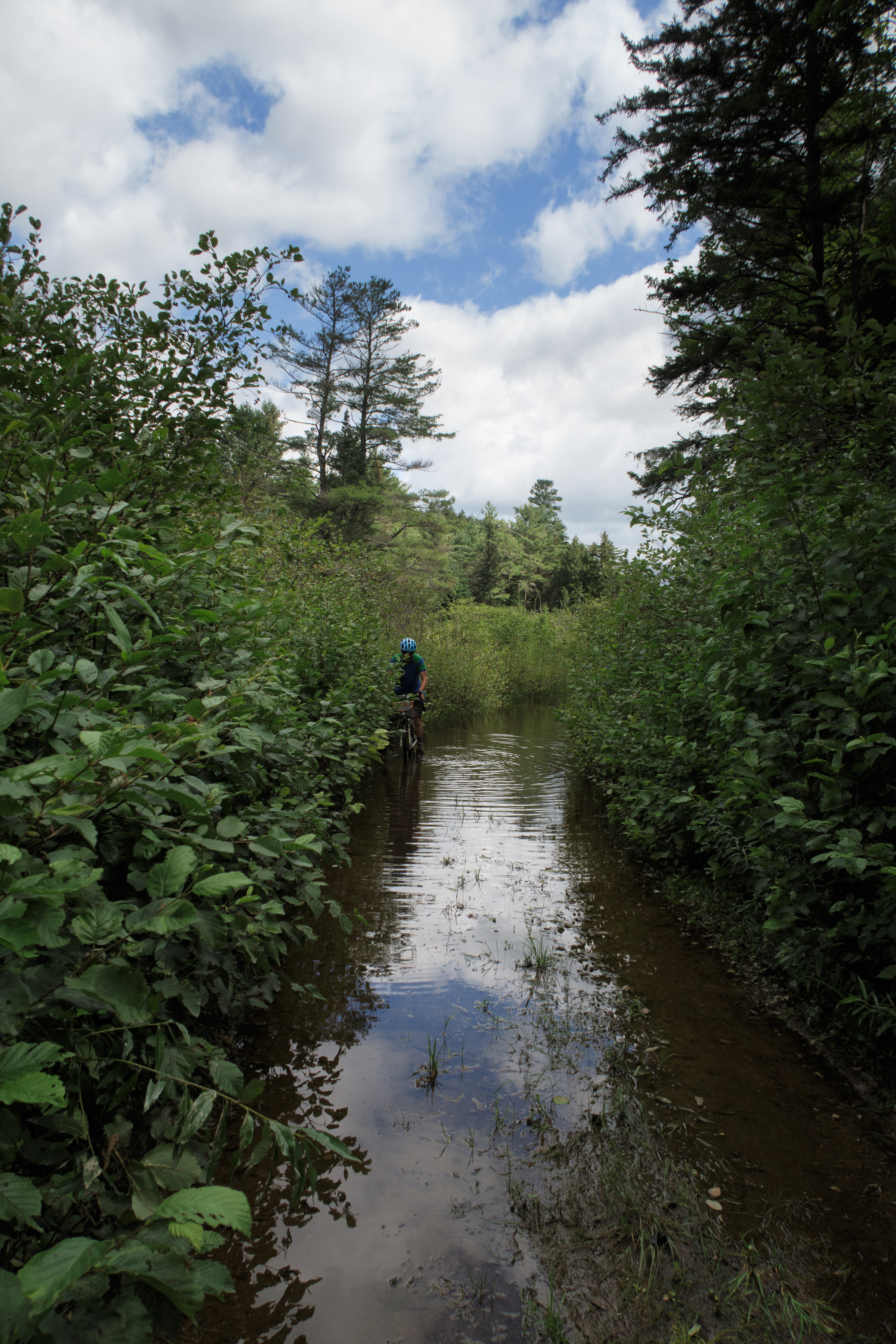
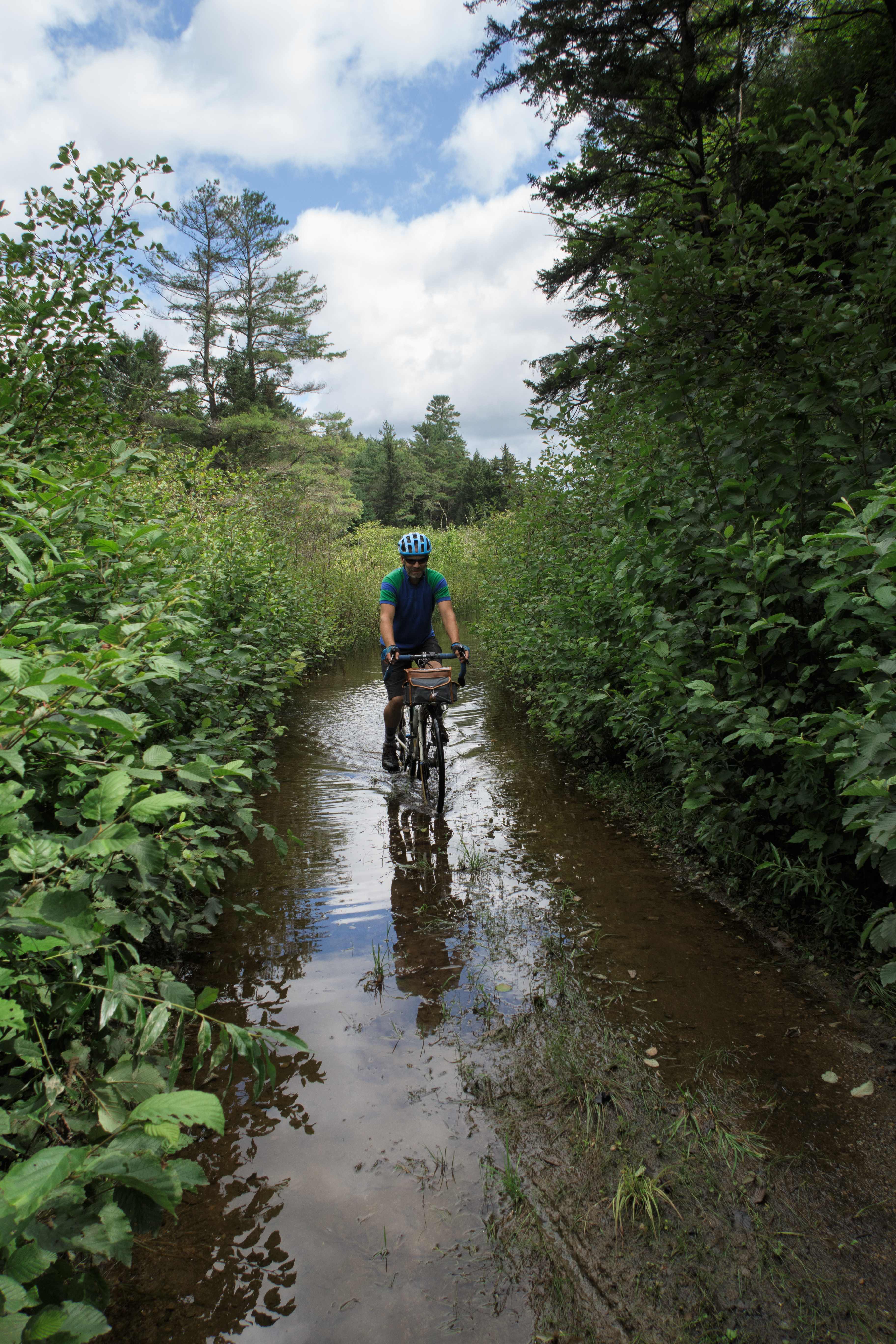
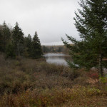
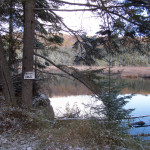
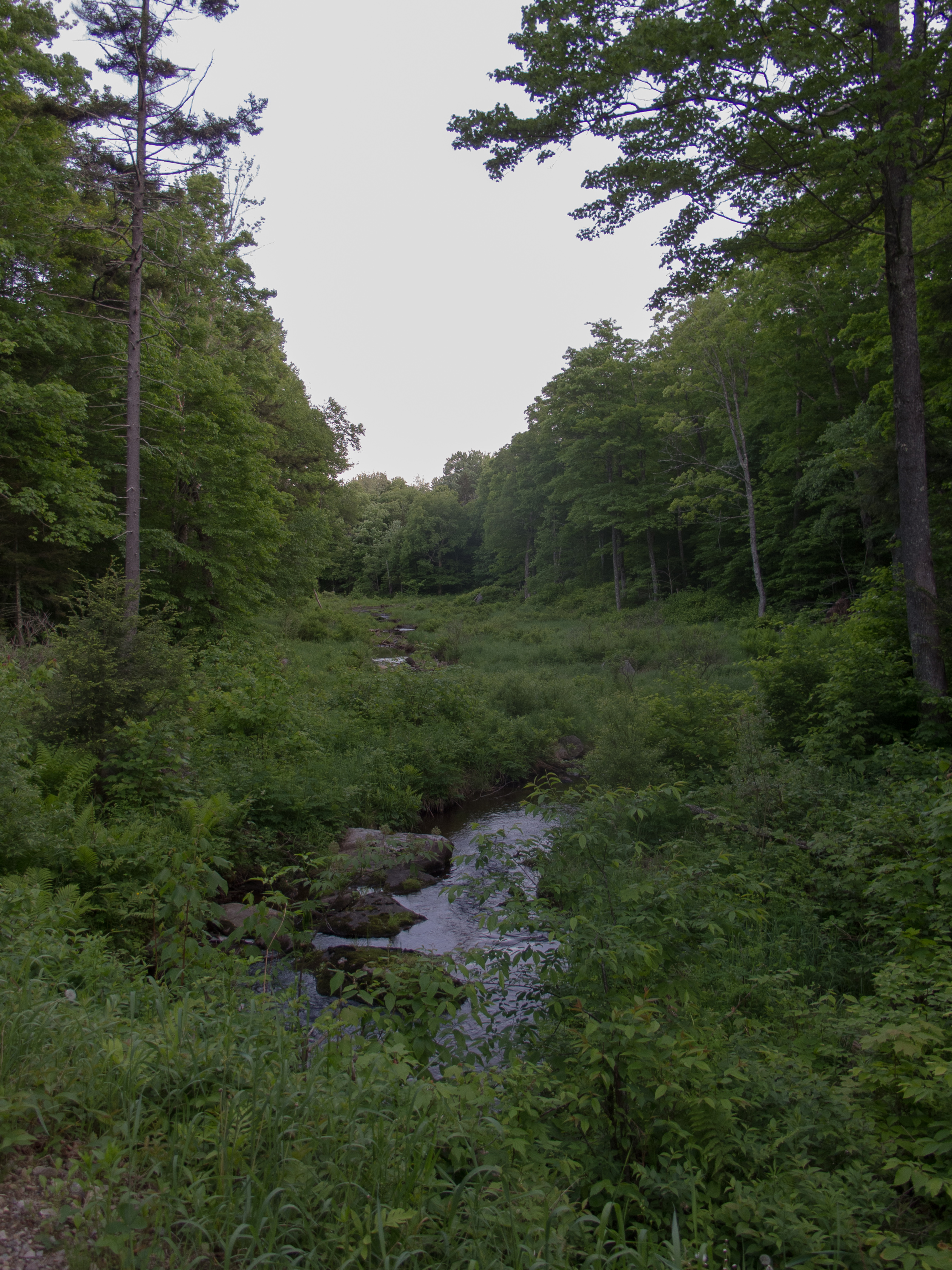
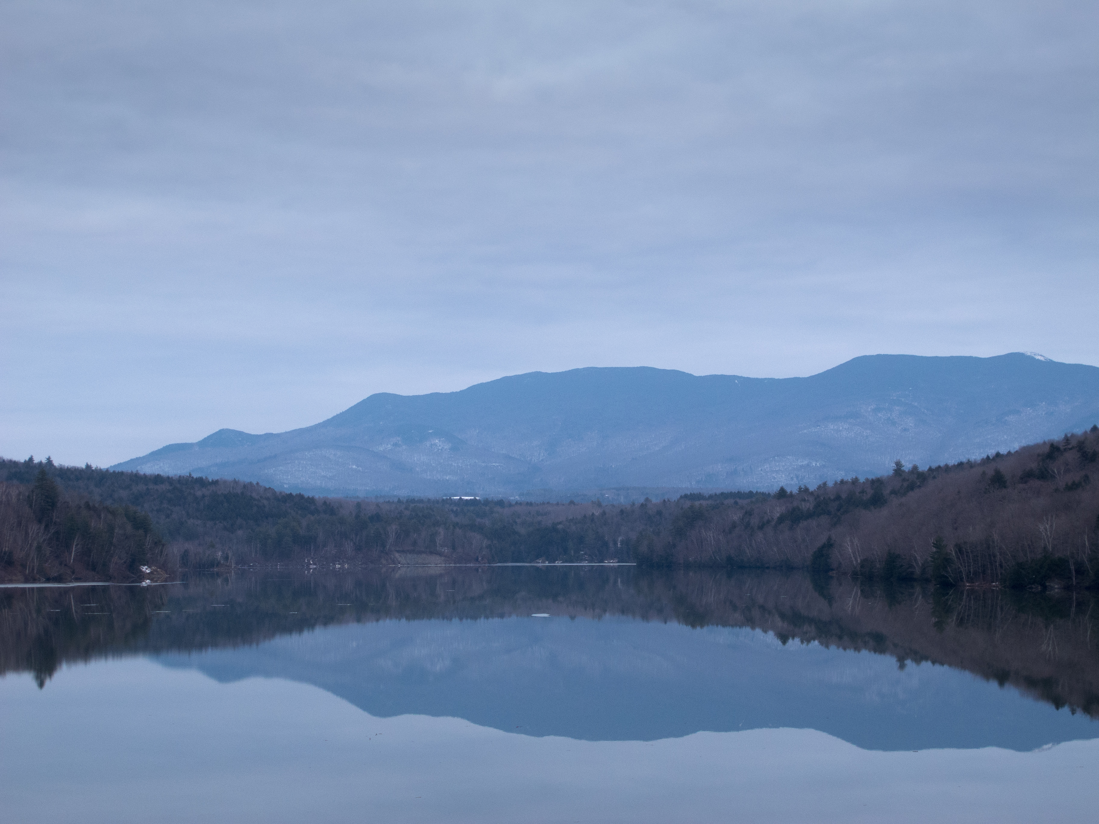
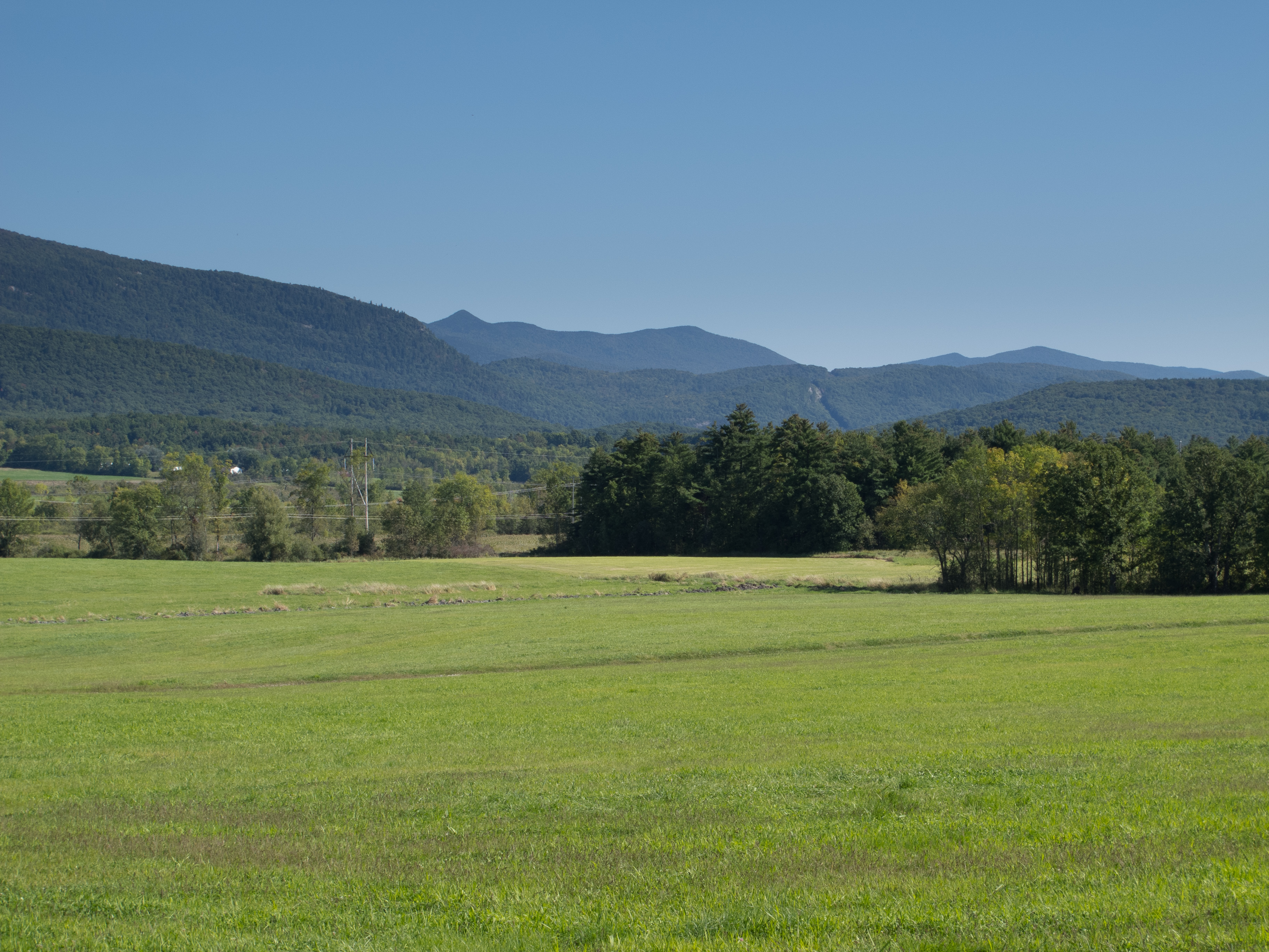
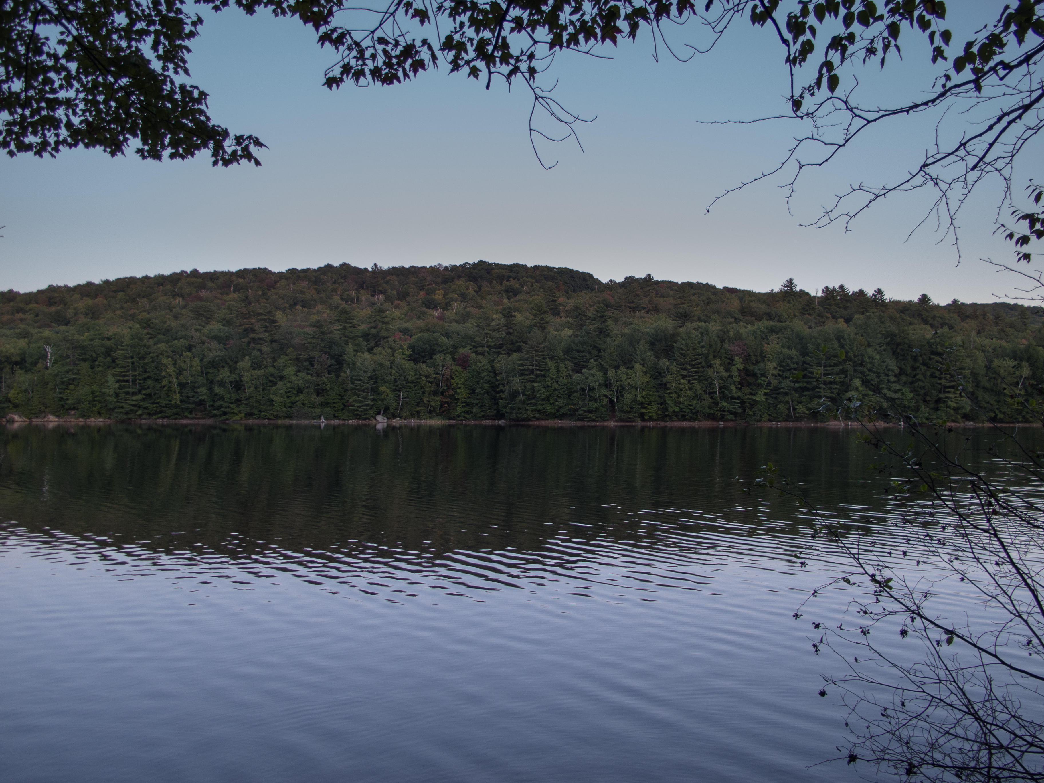
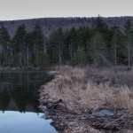
And stopped to enjoy the pond on the way back to pavement.
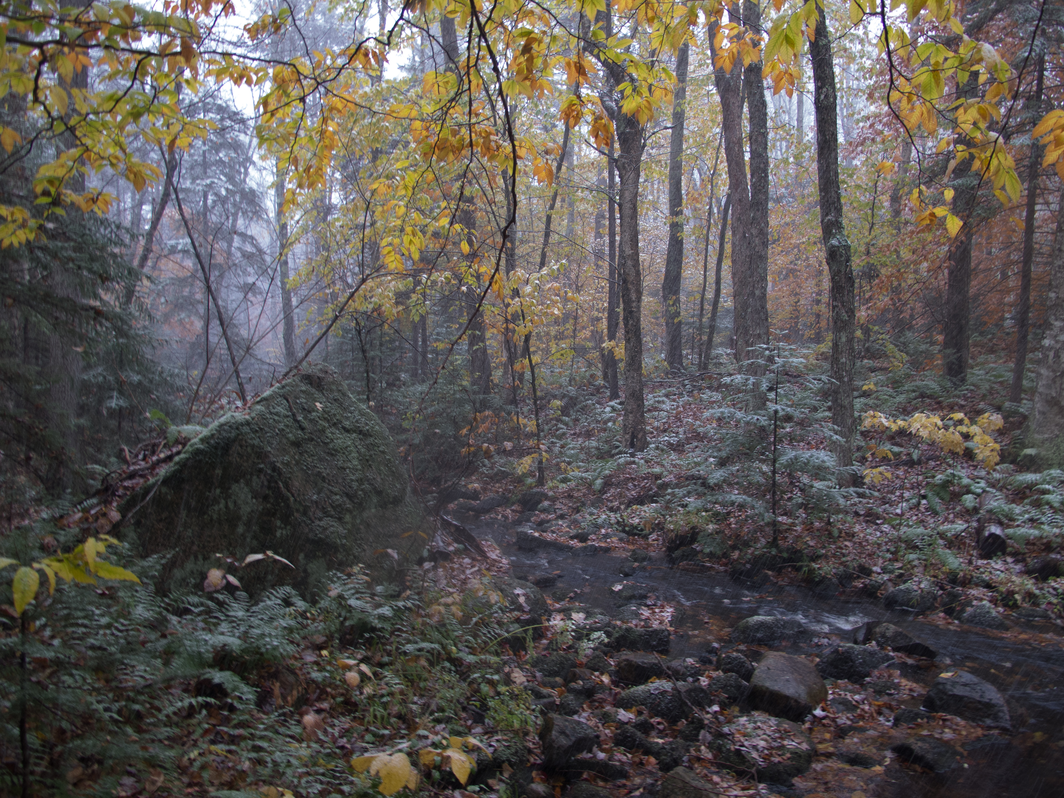
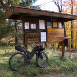
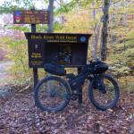
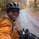
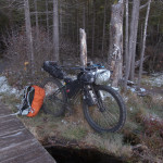
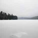
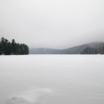
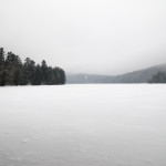
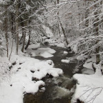
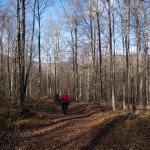
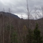
I got back to the Adirondacks last weekend to do some more exploring in the Moose River Plains and Black River Wild Forest. The plan was simple – spend 3 days in the woods on my bike.
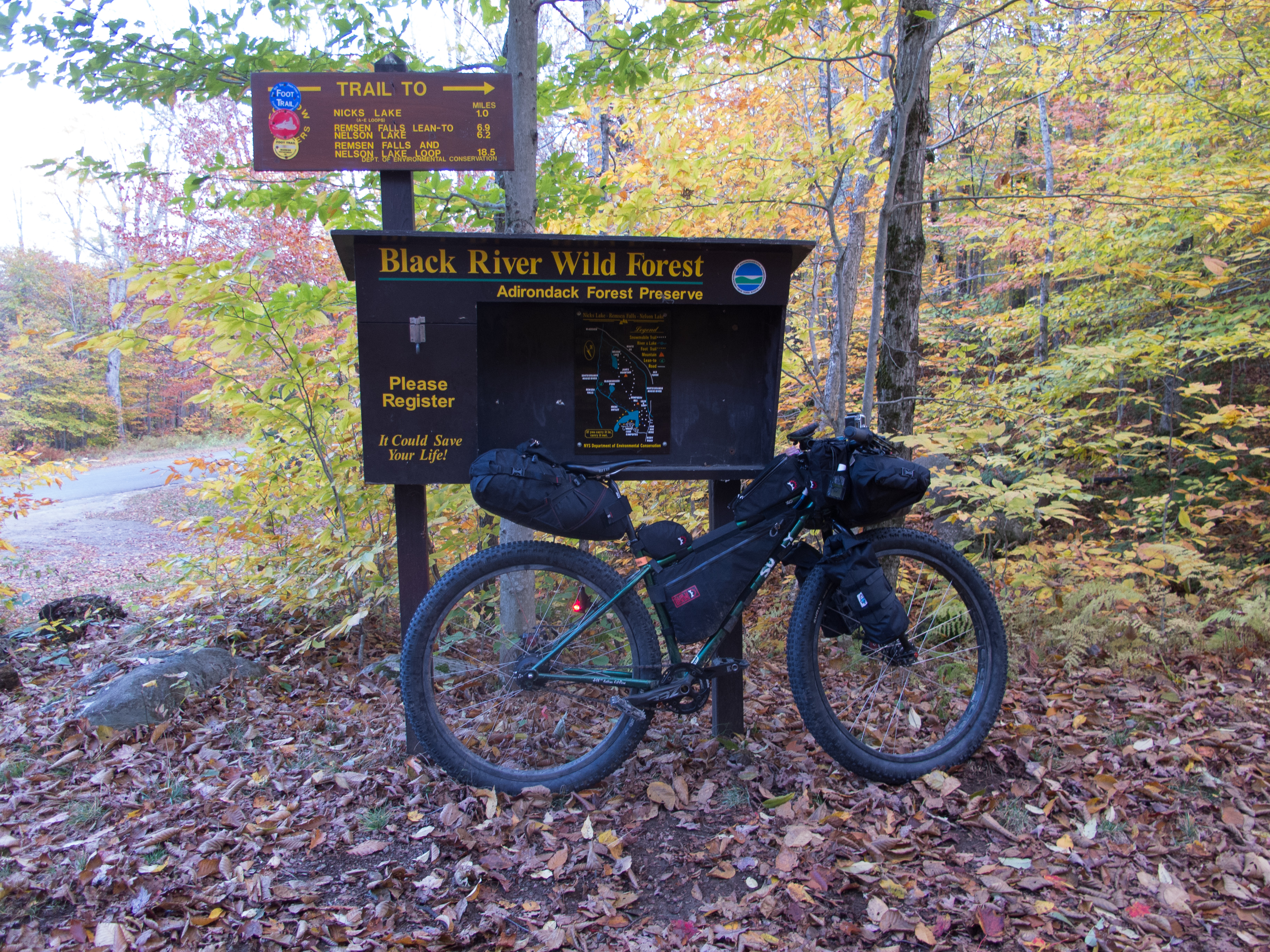
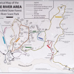
The Moose River Plains area has long fascinated me as a destination for exploring since I ventured down the road on my Pugsley in January 2011 and again on a through trip on the Fargo in August 2011. Black River Wild Forest also offers possibilities for riding and camping, and I checked out small portion of it on this trip.
From Wikipedia:
“The Moose River Plains Wild Forest is a 50,000-acre (200 km2) tract in the Adirondack Park in Hamilton and Herkimer counties in the state of New York in the United States of America; it is designated as Wild Forest by the New York State Department of Environmental Conservation. It is bounded on the north by the Pigeon Lake Wilderness Area, Raquette Lake and the Blue Ridge Wilderness Area, on the east and the south by the West Canada Lake Wilderness Area and the private lands of the Adirondack League Club, and on the west by the Fulton Chain Lakes and New York State Route 28.
…
It is the largest block of remote lands in the Adirondacks readily accessible by motor vehicle, and probably contains the most remote lands in the Adirondacks.”
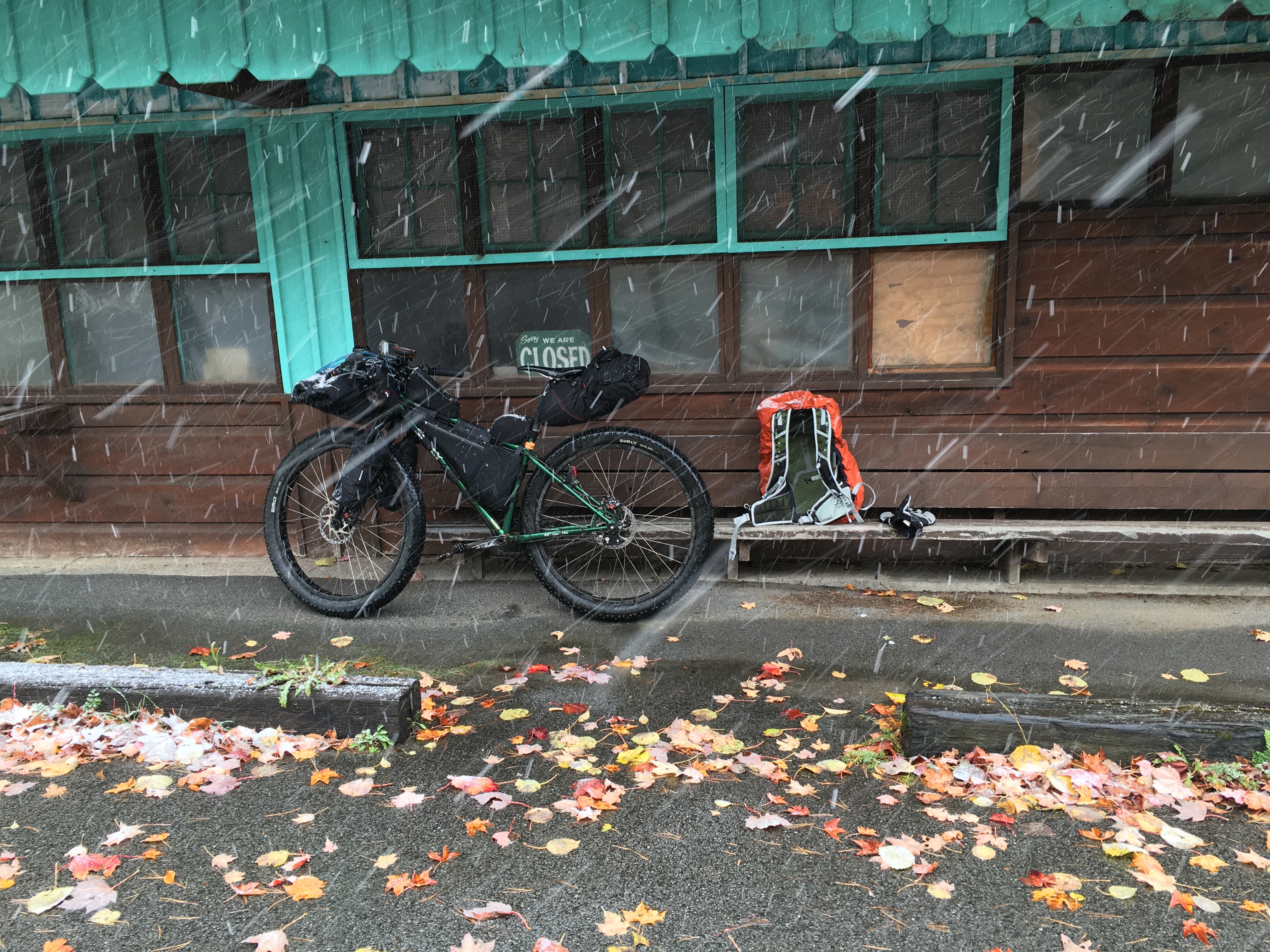
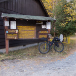
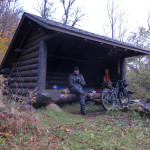
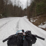
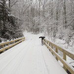
I had several routes in mind – but the weather and logistics of leaving from Burlington (via car) shaped the route. I parked at Wakely Dam to cut off all of the pavement to the Moose River Plains (MRP) from Indian Lake, NY. Wakely Dam is the eastern gate to this wild road, offers a gravel and grass parking lot, several campsites, and water access.
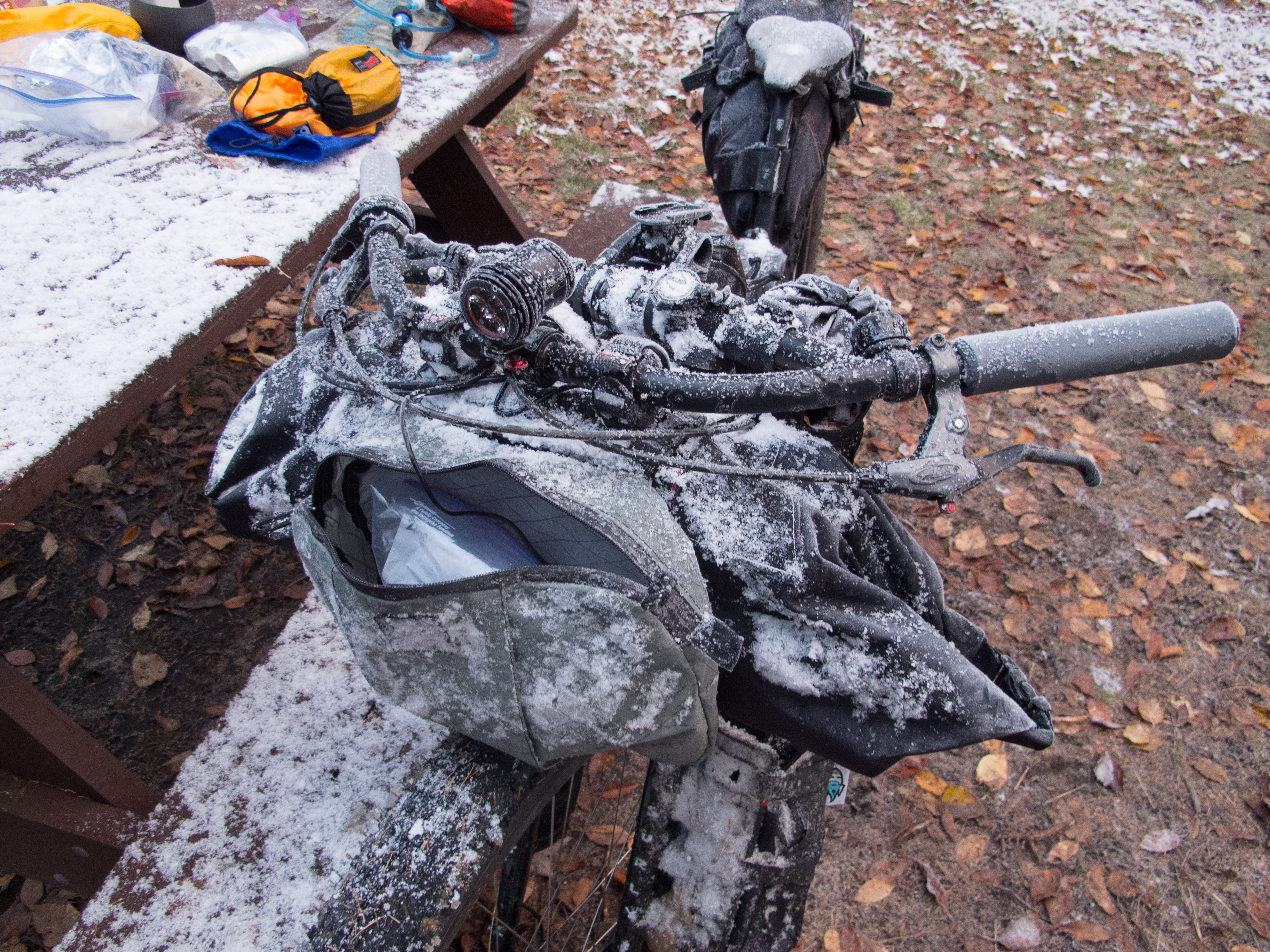
The plan was to traverse the MRP to Inlet, NY then ride a bit of pavement to a trail into the Black River Wild Forest and ride single track to the Remsen Falls Shelter. The weather forecast prior to leaving had potential periods of rain, snow, and sub freezing temperatures. I packed for the weather and touched almost every piece of gear I carried.
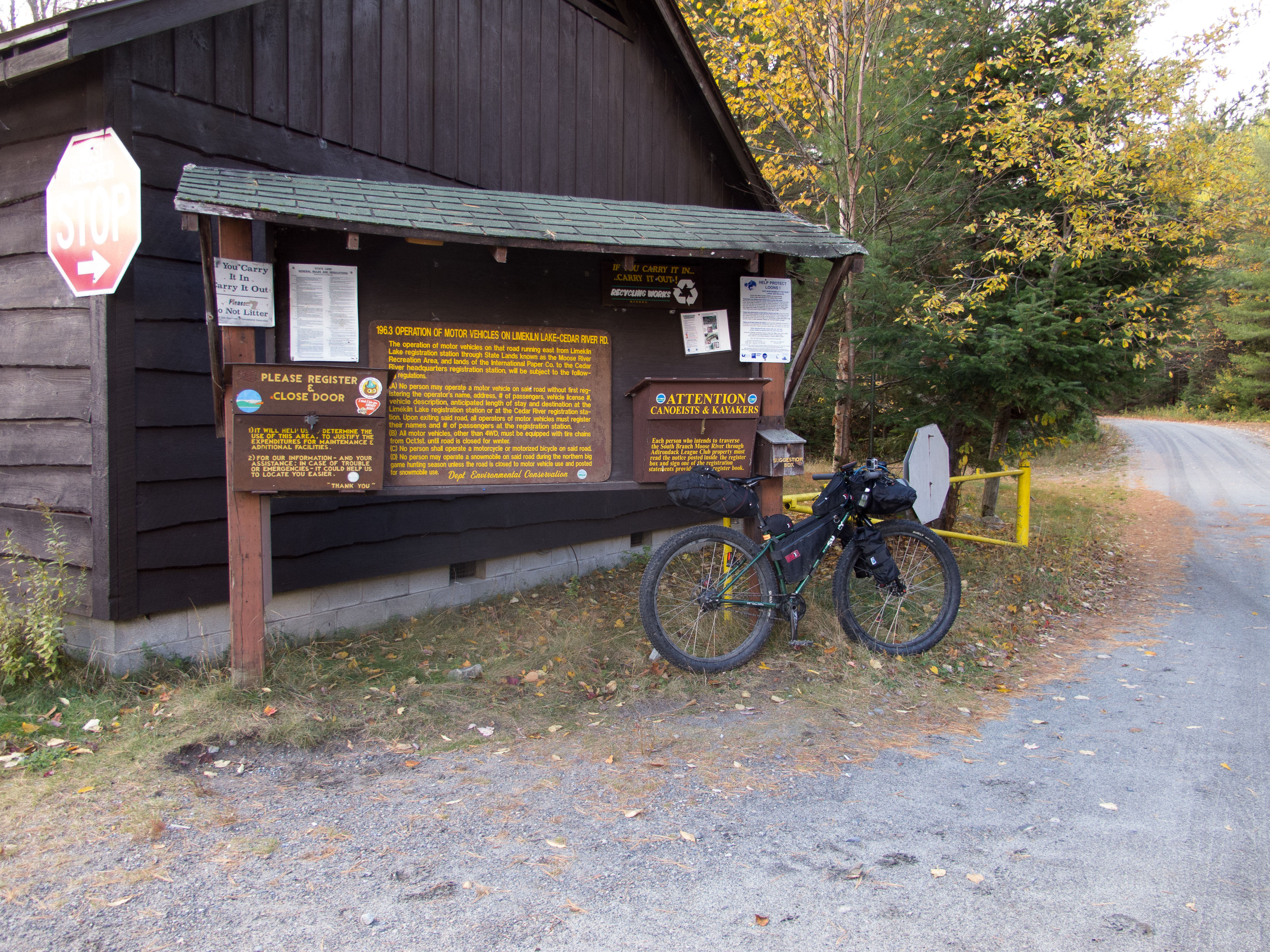
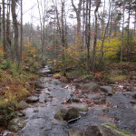
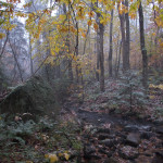
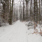
I left the Wakely Dam gate at about 12:15pm after driving from Burlington. It was cool and dry, with a beautiful blue sky and the fall color just past peak. The initial miles away from Wakely are uphill (as is most everything in the ADKs) – so I warmed right up with a 3.5 mile climb to the highest point on my route. I stopped to adjust bags and gear, snap photos, and was passed by a truck towing a trailer. Over the first day, while in the MRP, I was only passed by two other trucks, and passed maybe a half dozen campers and tents setup at the sites visible from the road.
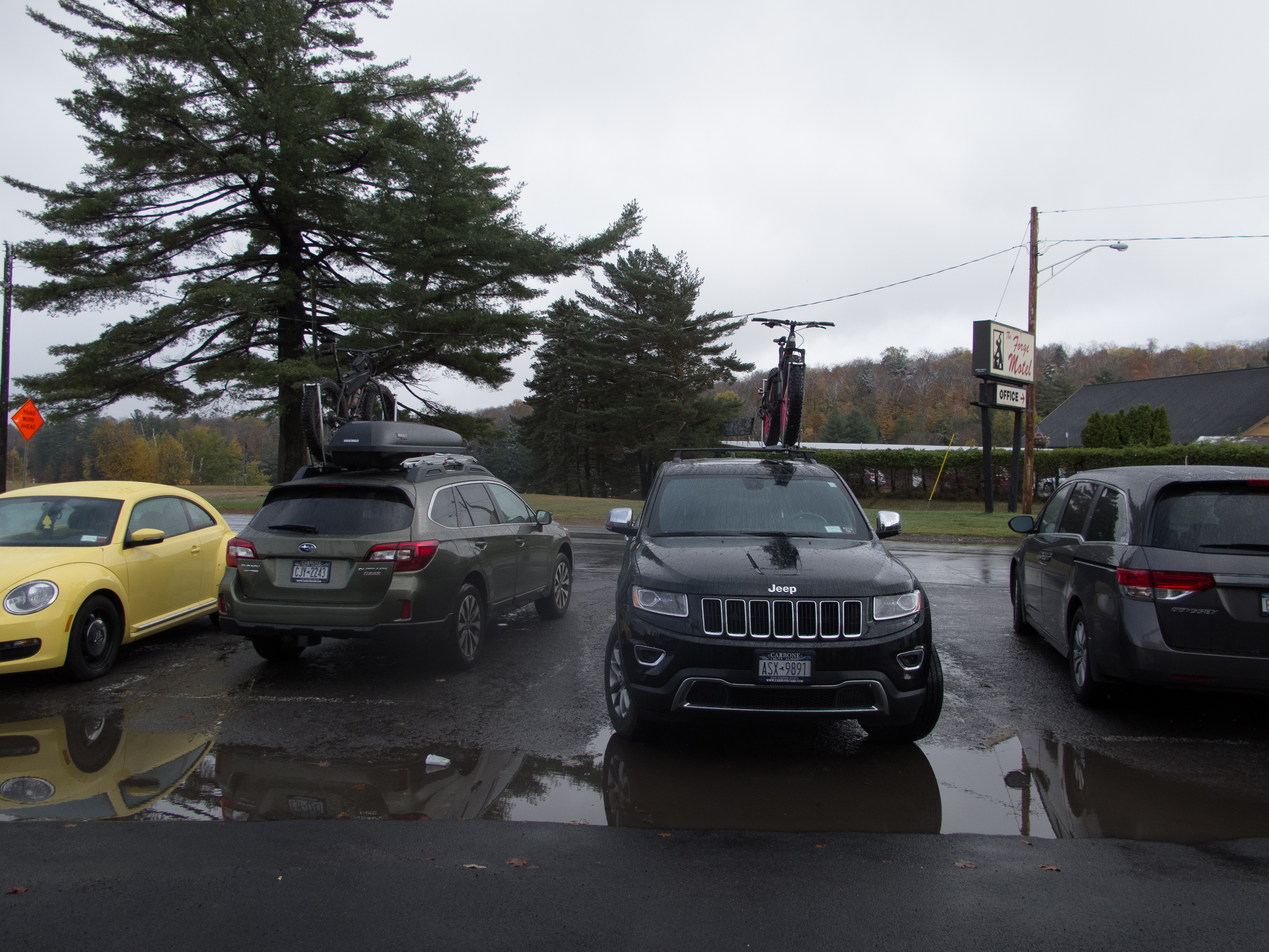
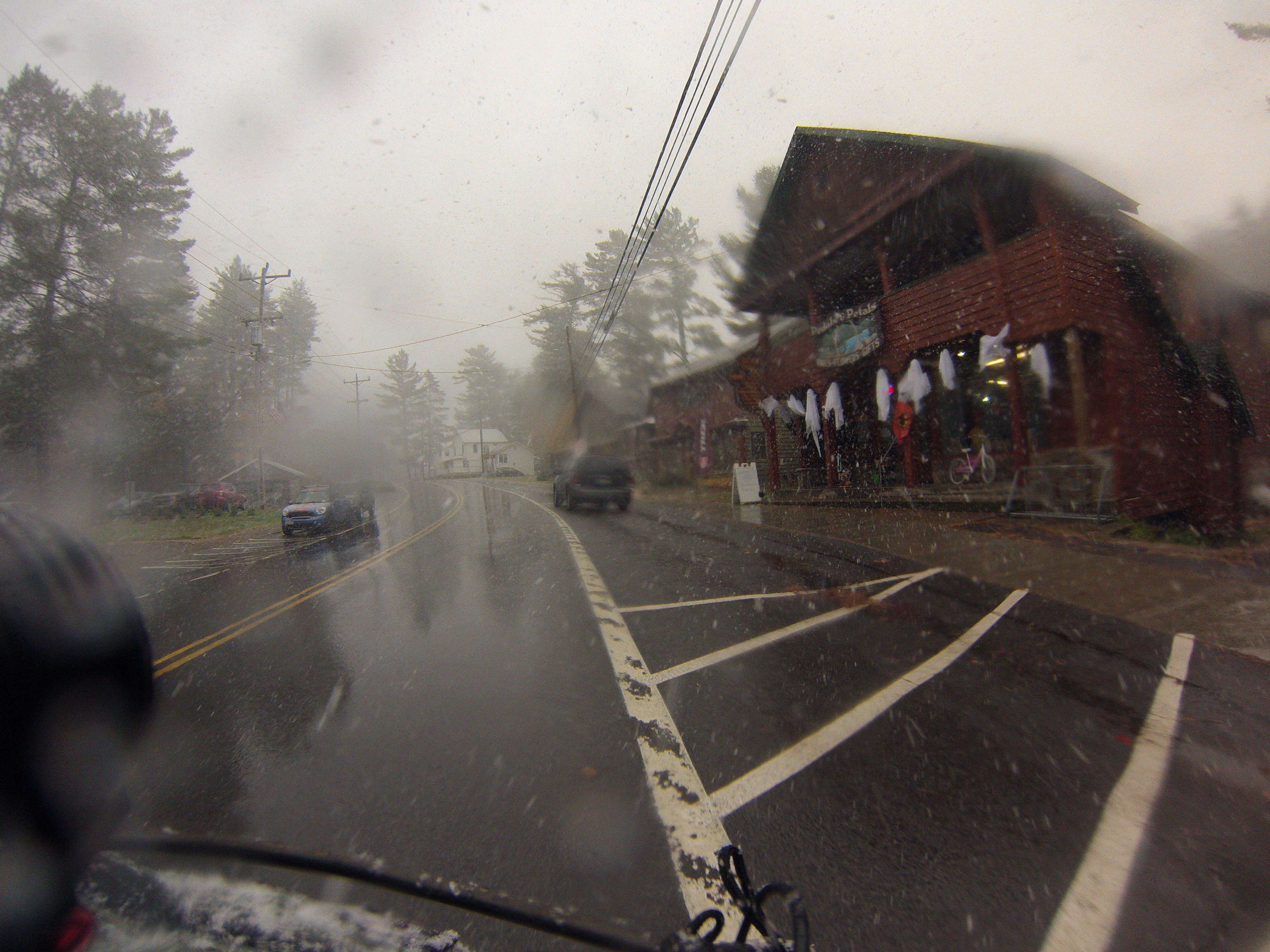
I arrived at Inlet ~24 miles later at about 3:45pm and made a quick stop into Pedals and Petals. I was worried that I had a crumbling brake pad, so I grabbed a set of BB7 pads and took off on pavement for Old Forge. The sun was still shining. The temperature moderate compared to what was coming, and I made reasonable time.
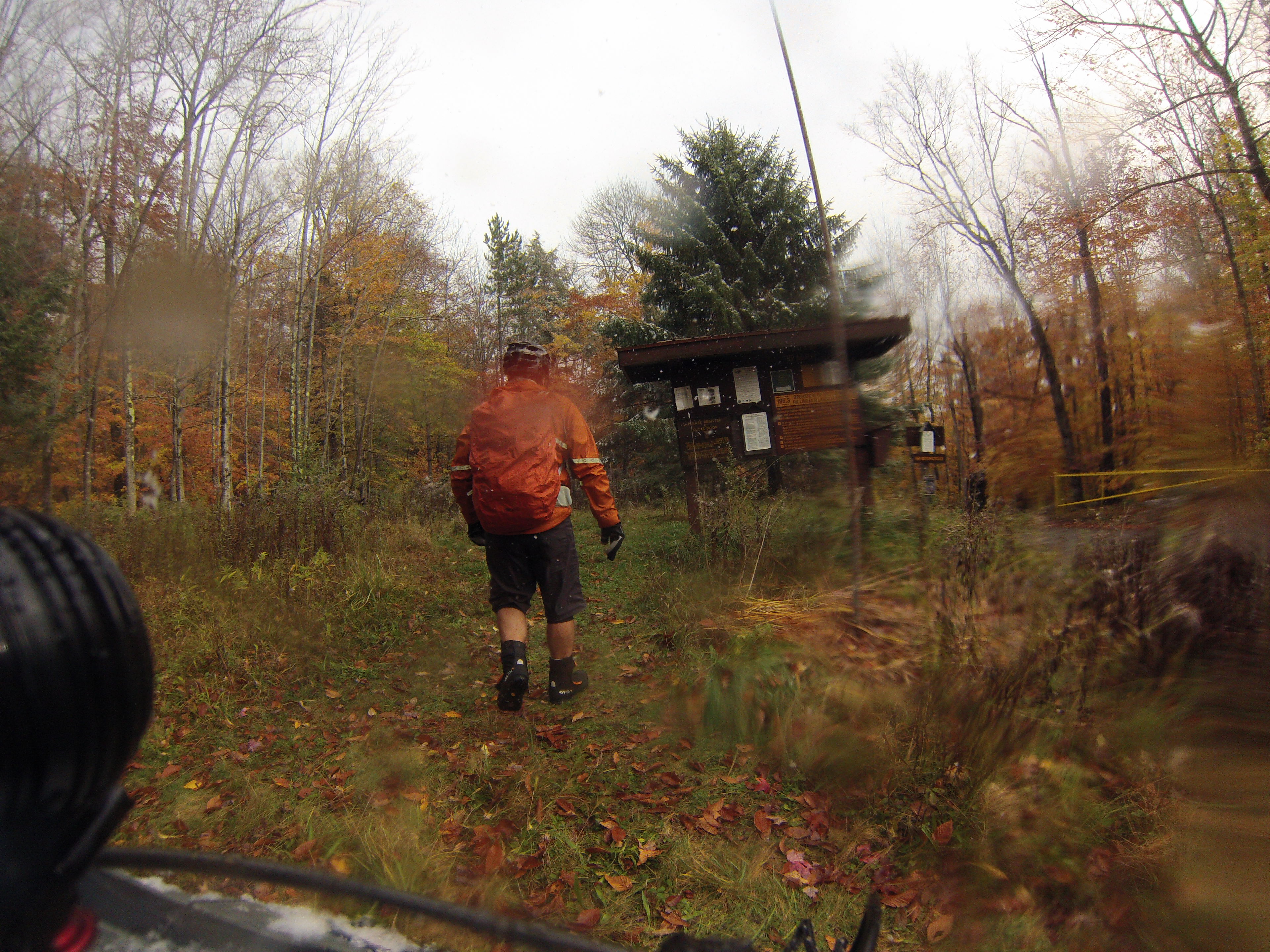
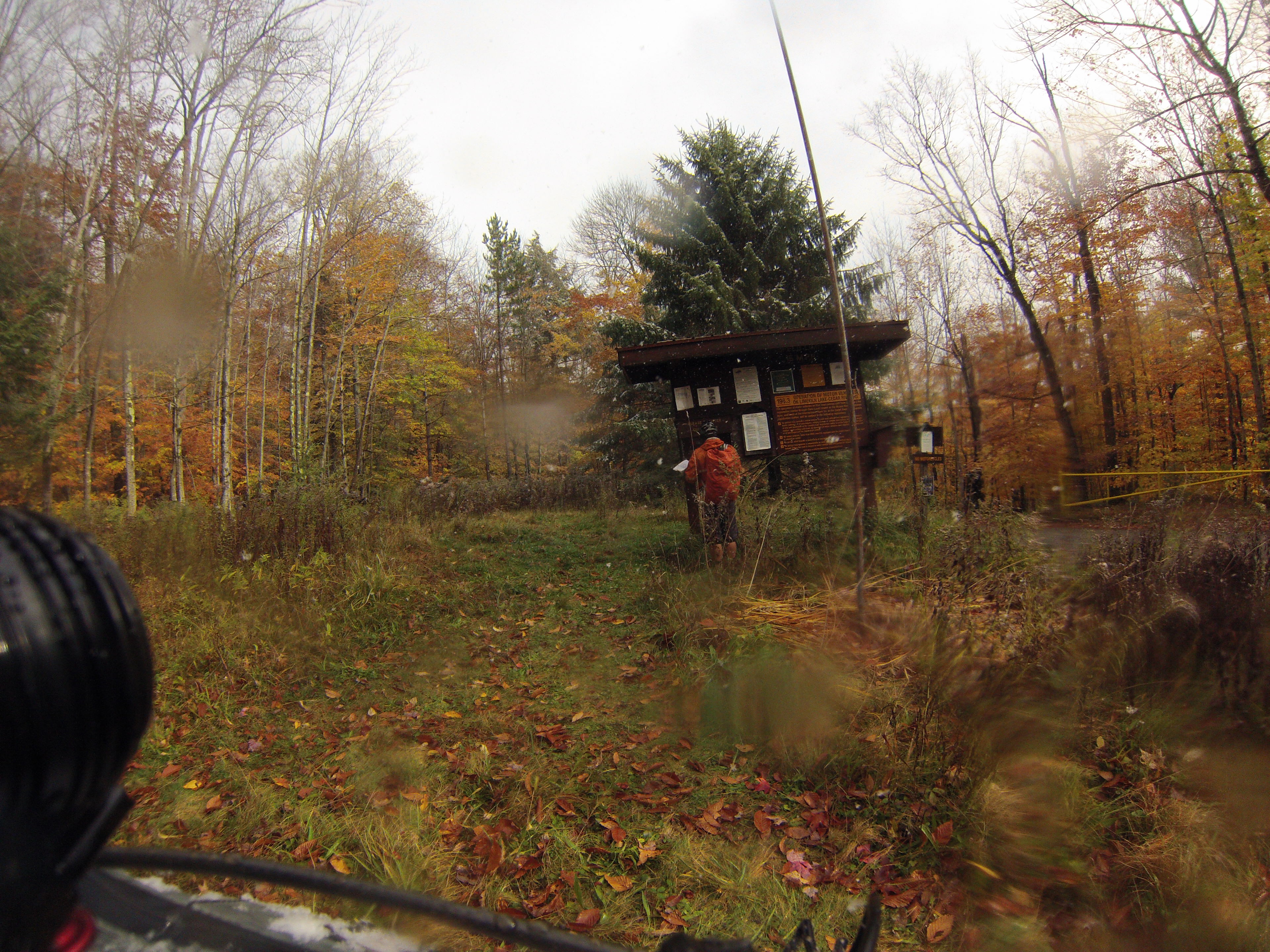
I skirted Inlet and Old Forge proper on South Shore Rd. – there is supposedly a trail that connects from the Limekiln Campground to South Shore road – but with a tight schedule I didn’t want to risk having a slow bushwhack or having to back track out to the main road. Next time through I plan on riding the Limekiln to Third Lake trail – I hope it connects and isn’t too wet.
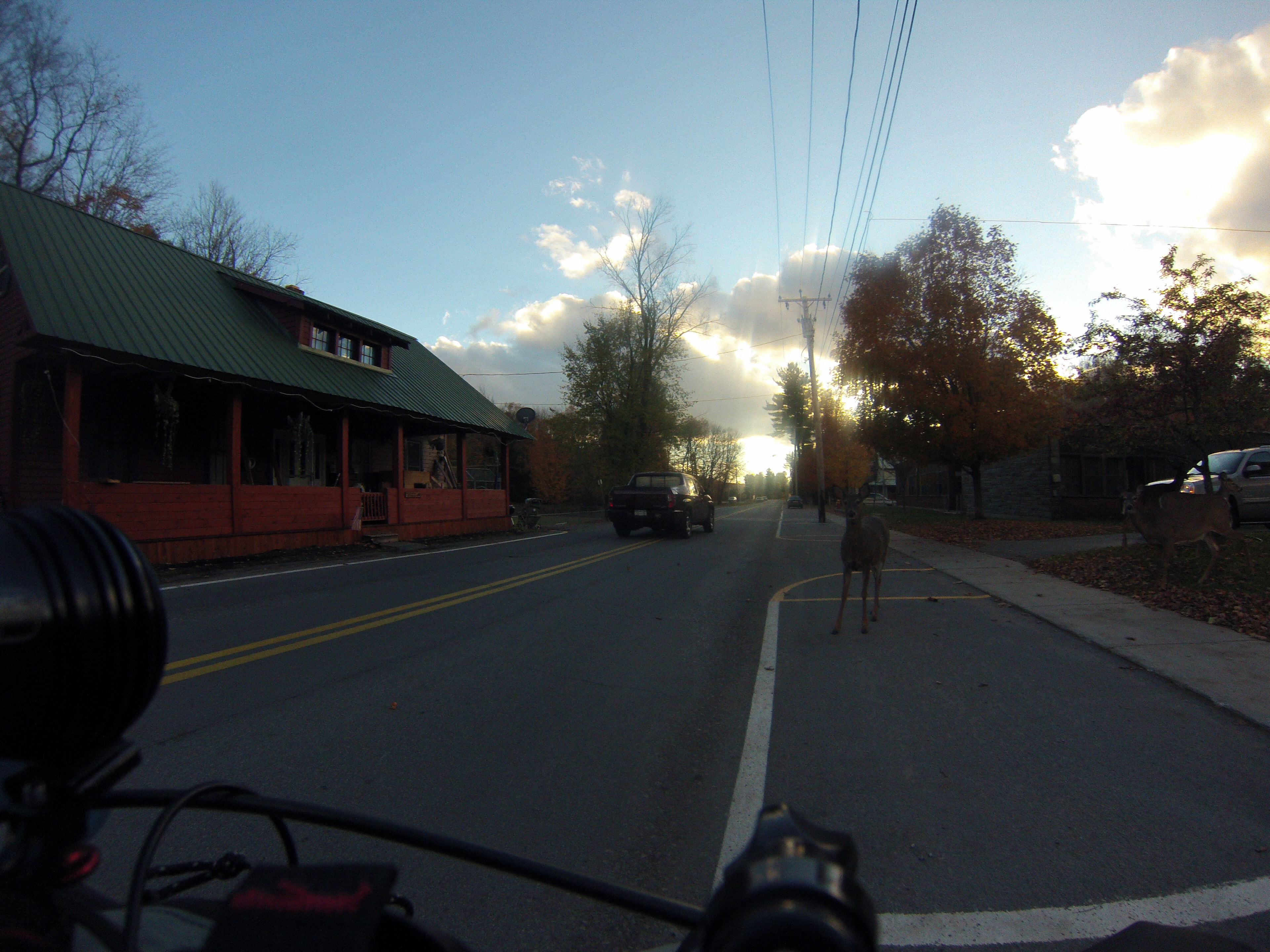
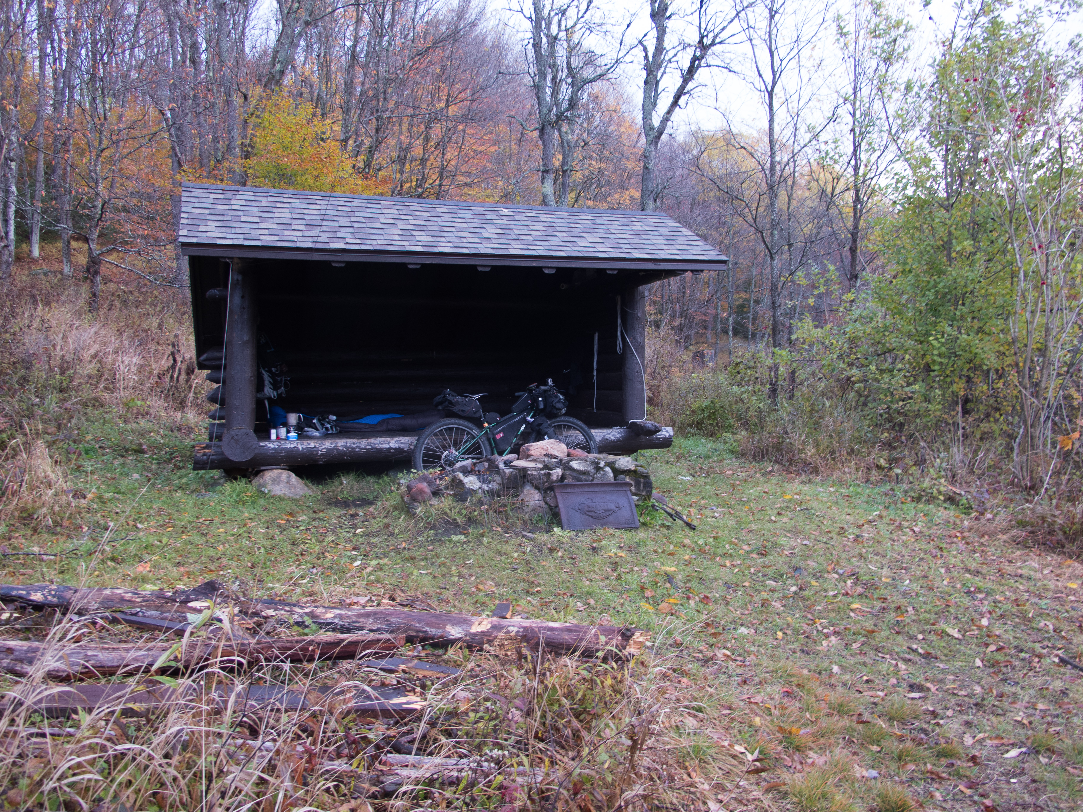
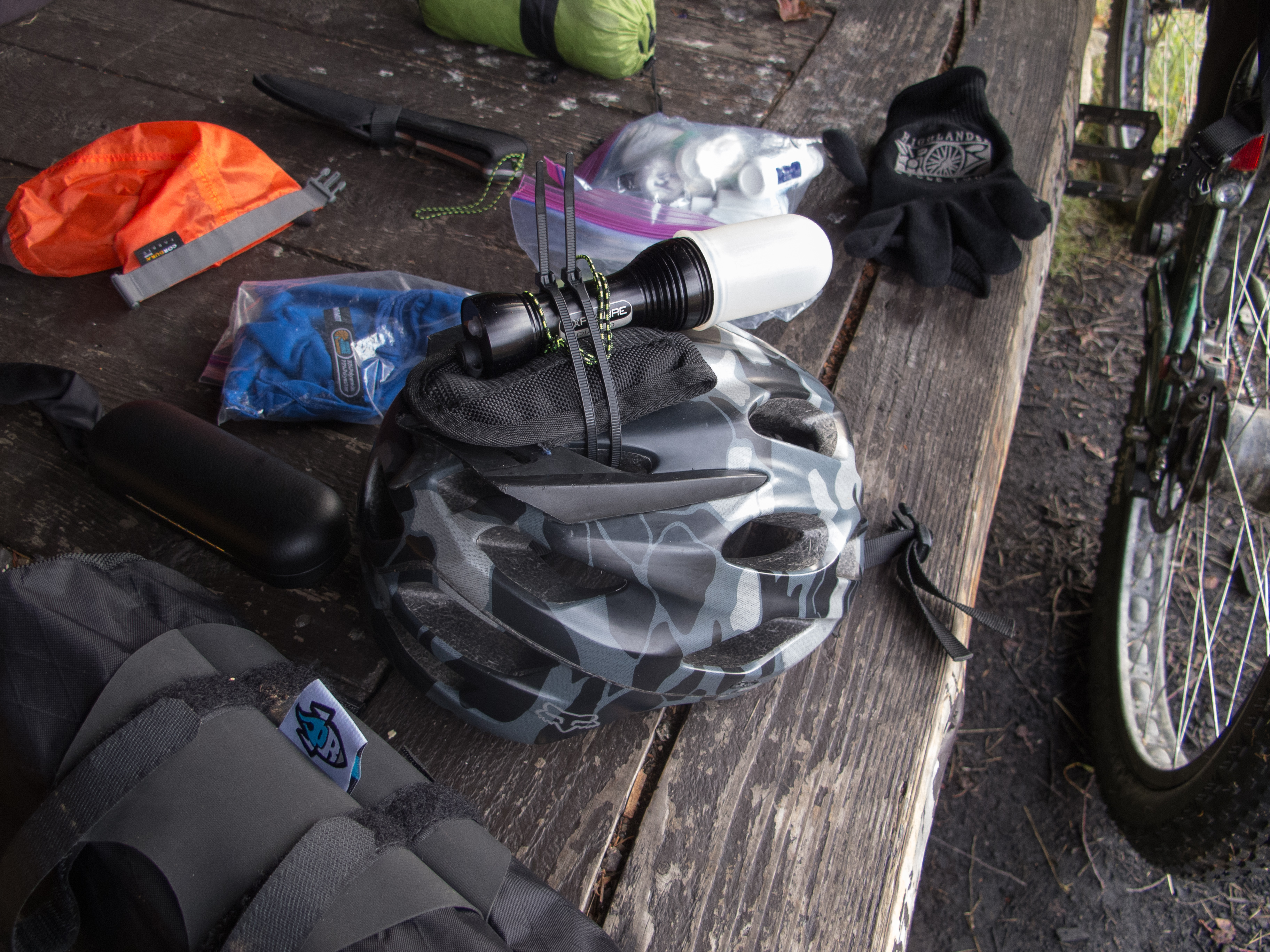
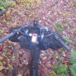
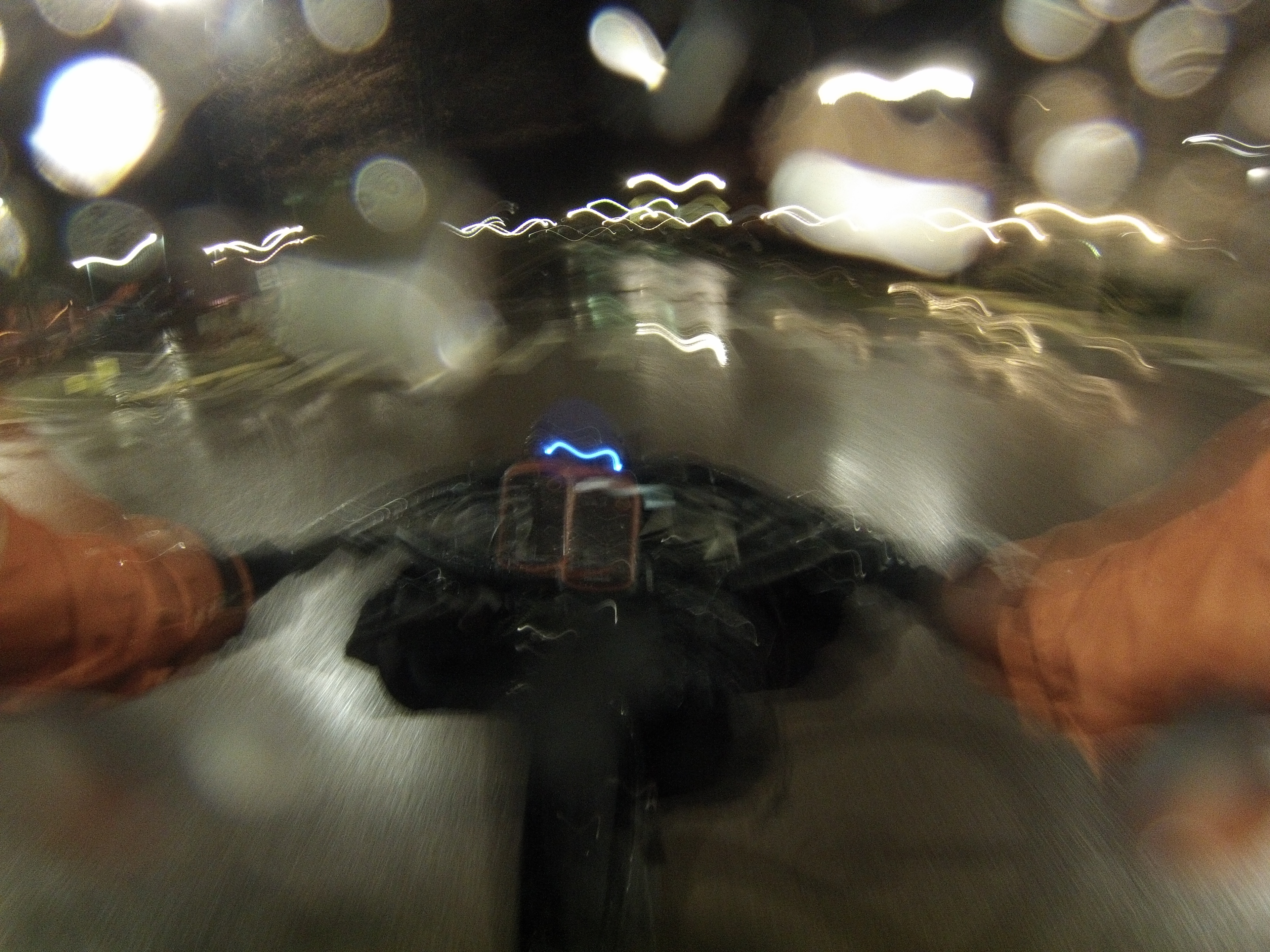
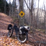
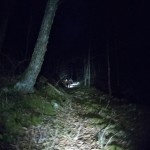
From Old Forge where I saw my only large wildlife of the trip I found Bisby Rd. and the Remsen Falls Lean To trail, which connects near Nick’s Lake and Nick’s Lake Campground. I signed in and noted that the group that exited a few hours before me saw ‘grumpy bear growling at us on Humphrey Hill trail’. Great, I thought, as I began riding the trail at dusk… maybe I’ll see a bear. I rigged for night riding and discovered I brought the wrong mount for my Exposure Diablo that I run on my helmet. I MacGyver’d a solution with some zip ties and the case from my Leatherman and I was off.
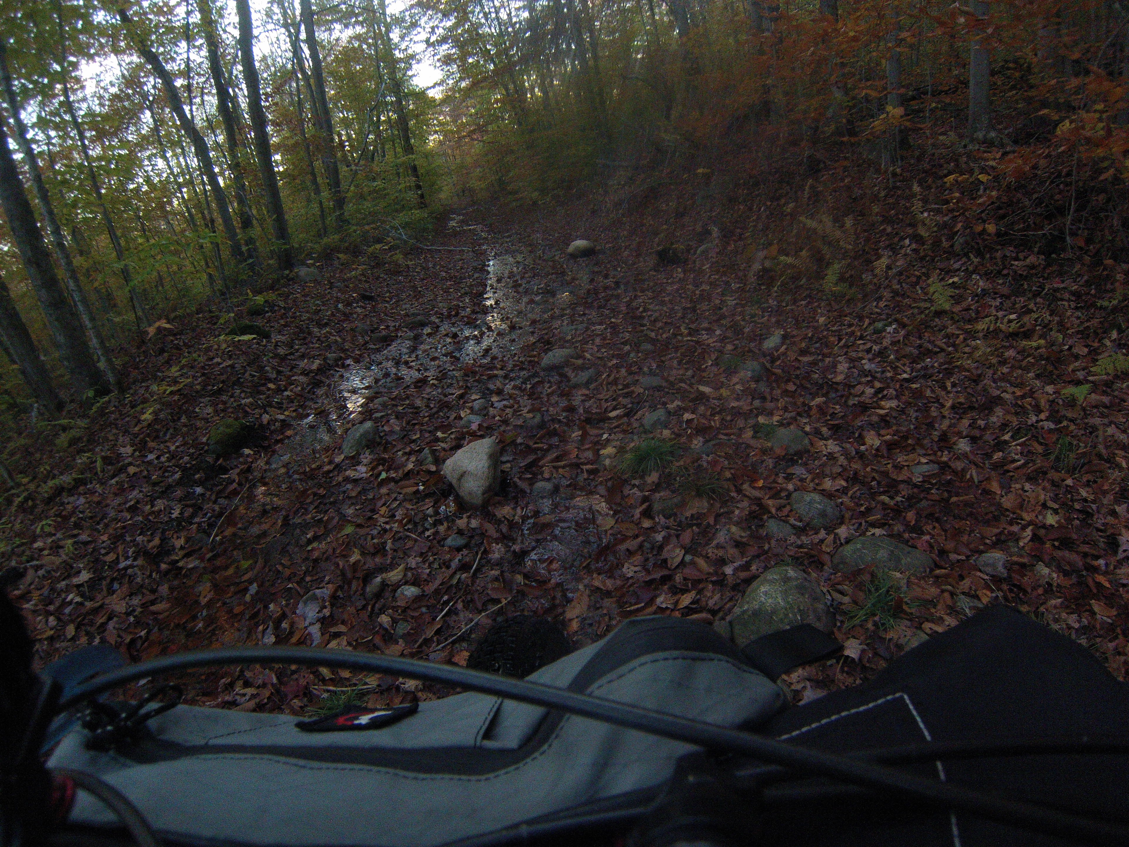
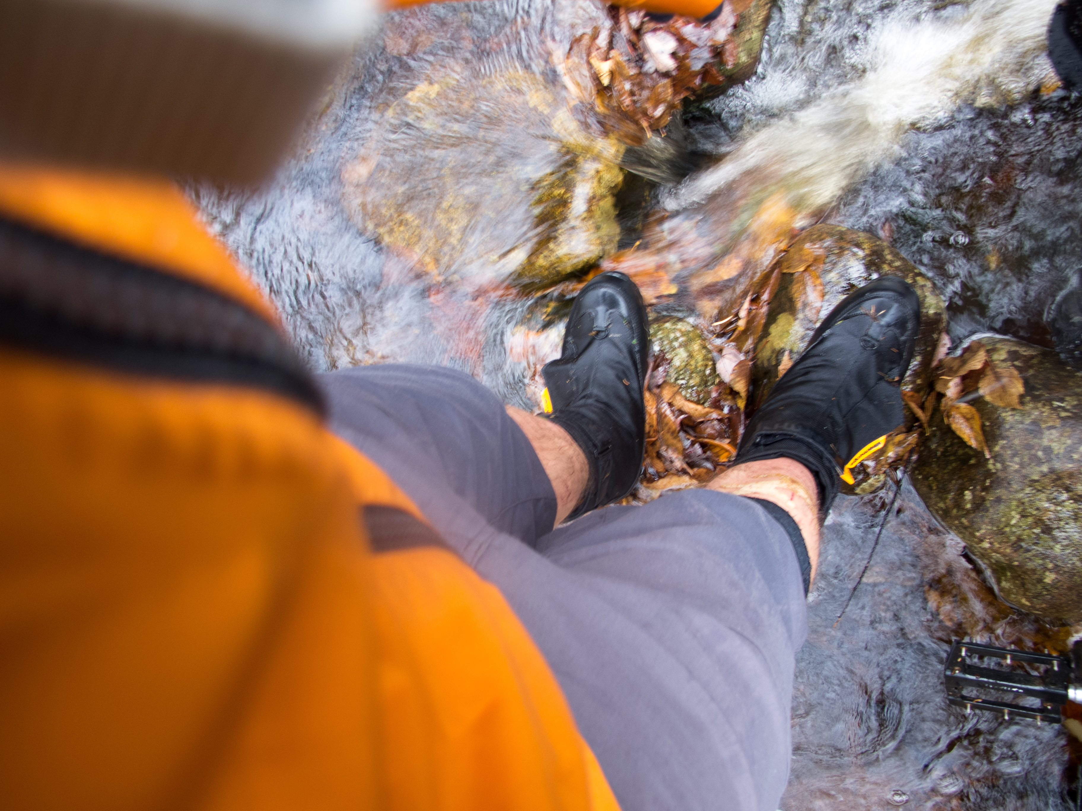
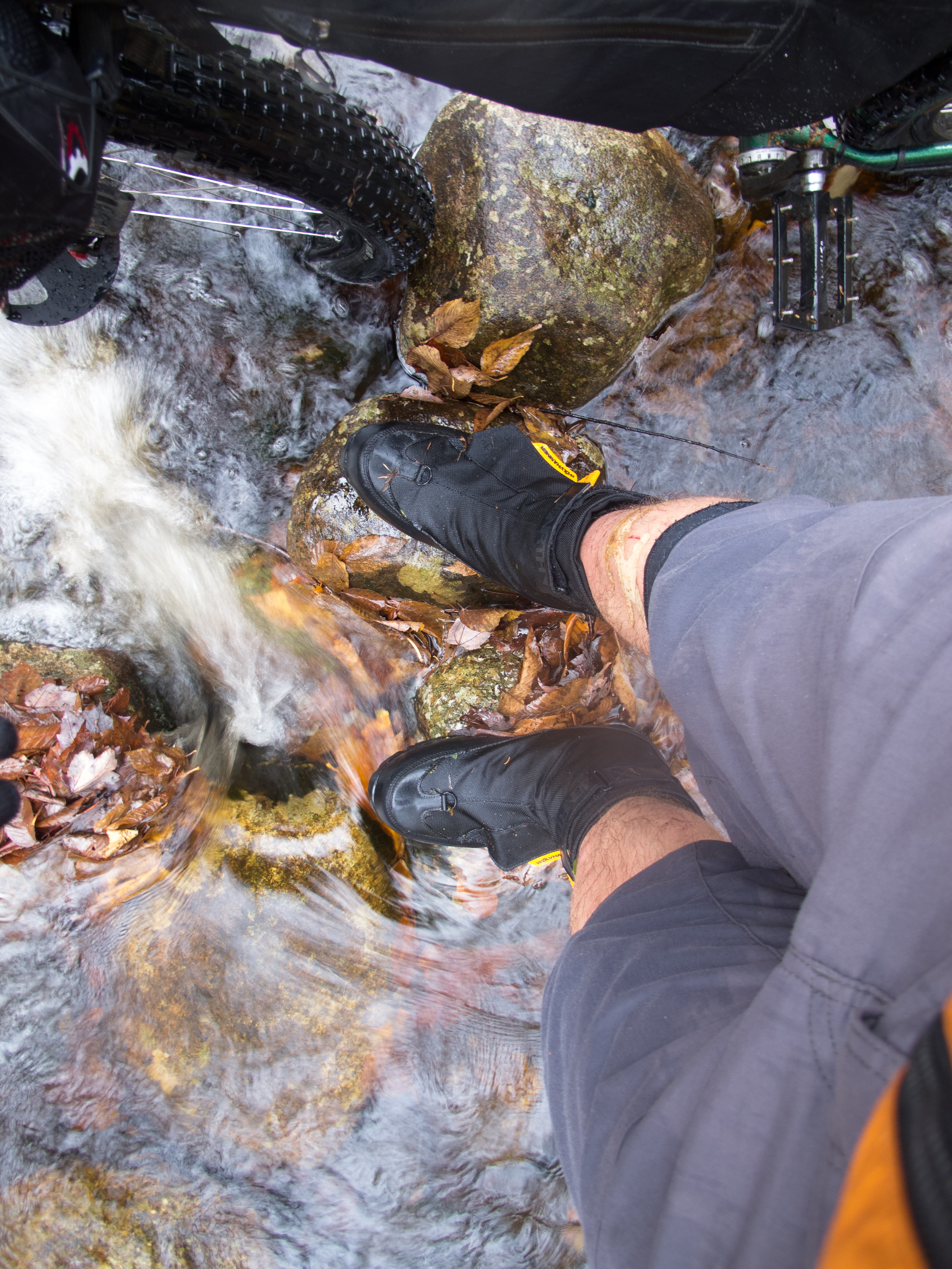
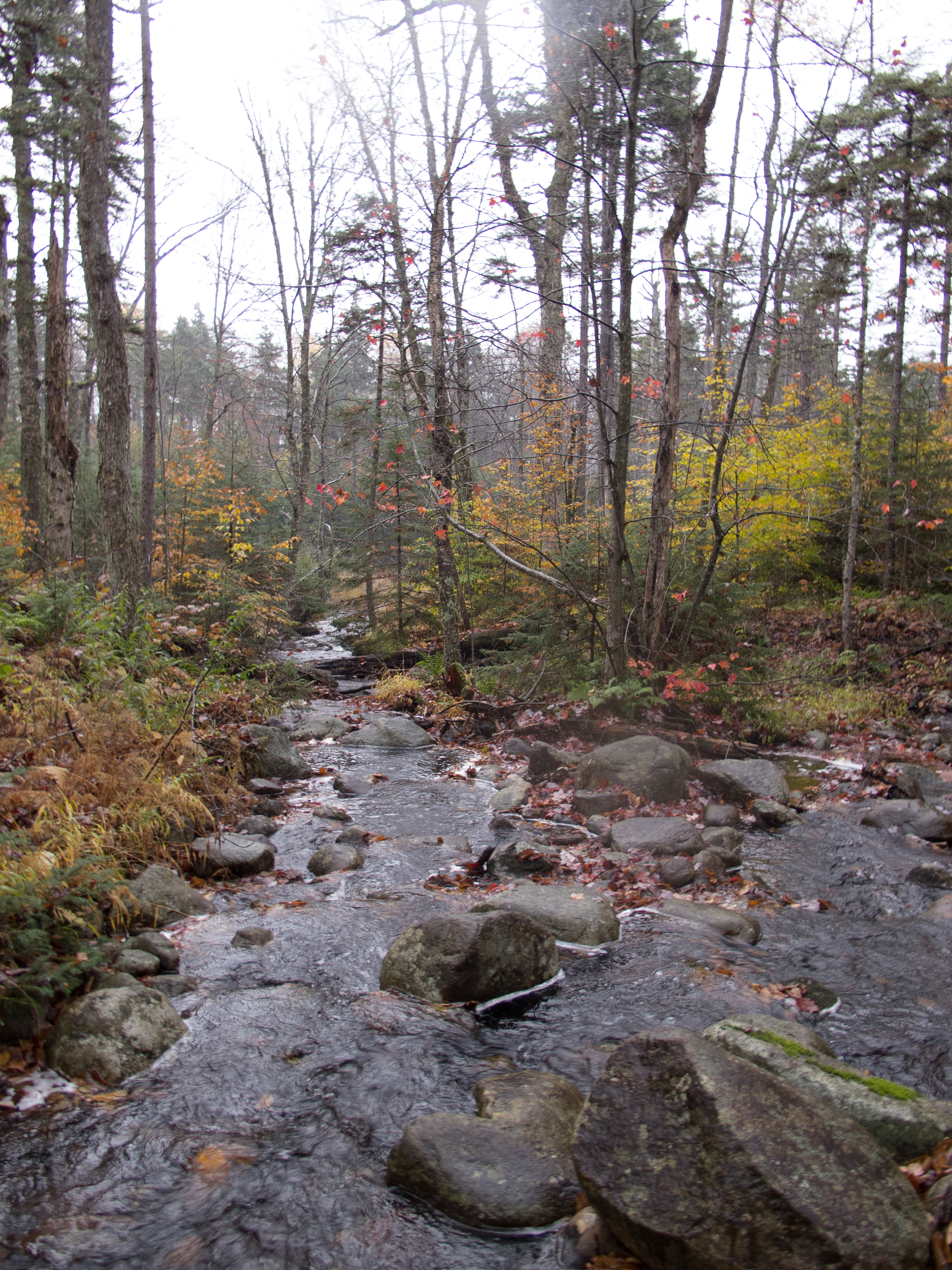
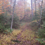
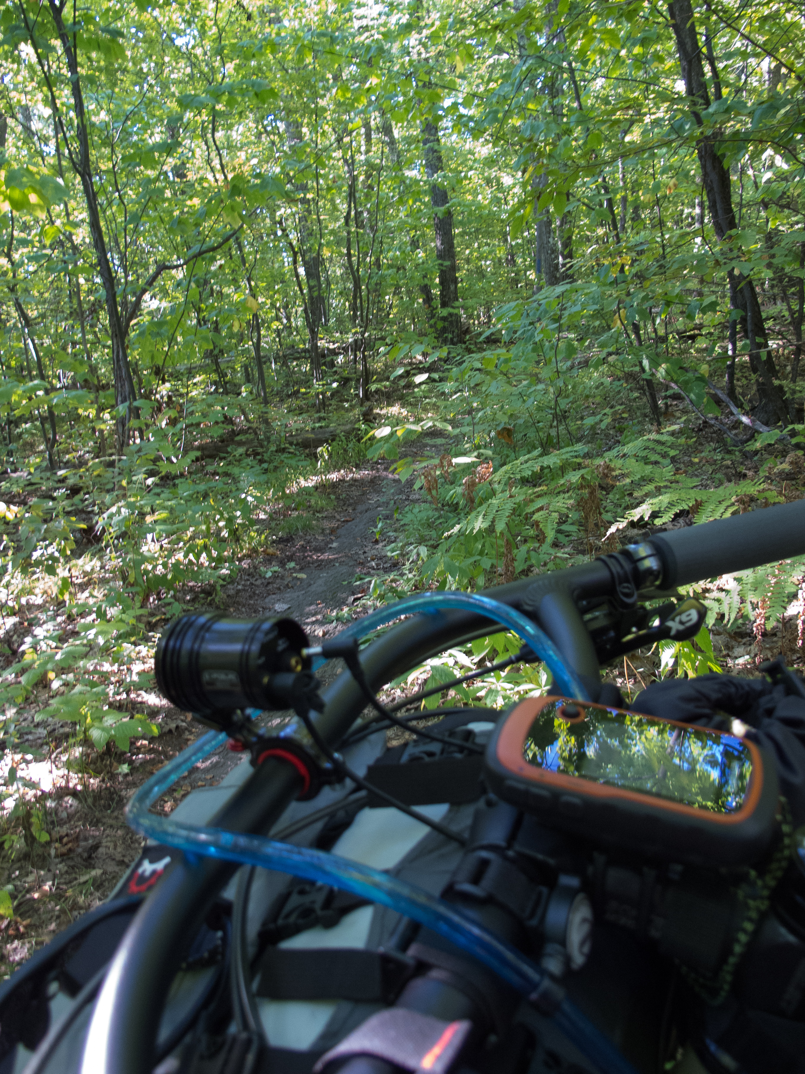
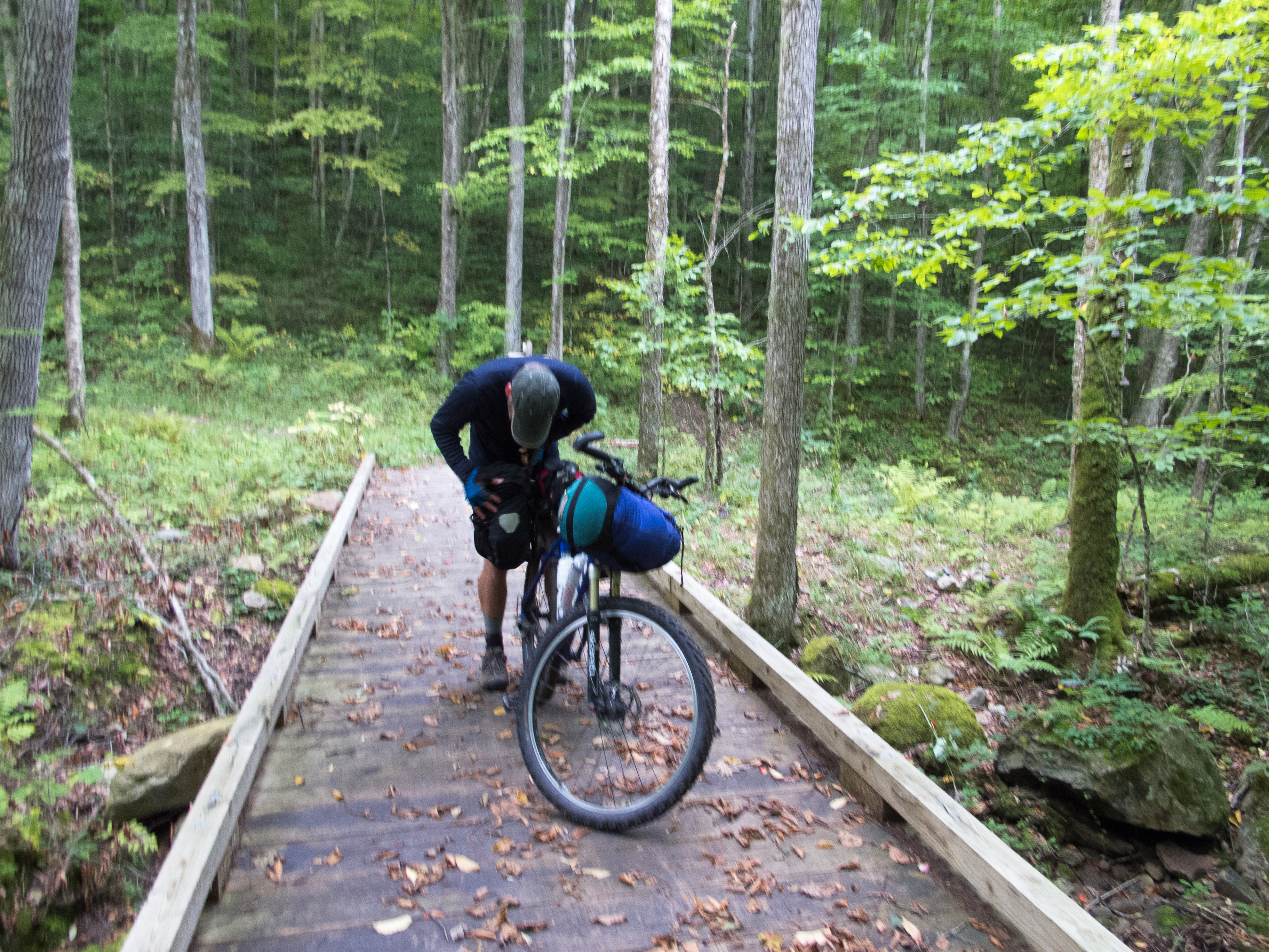
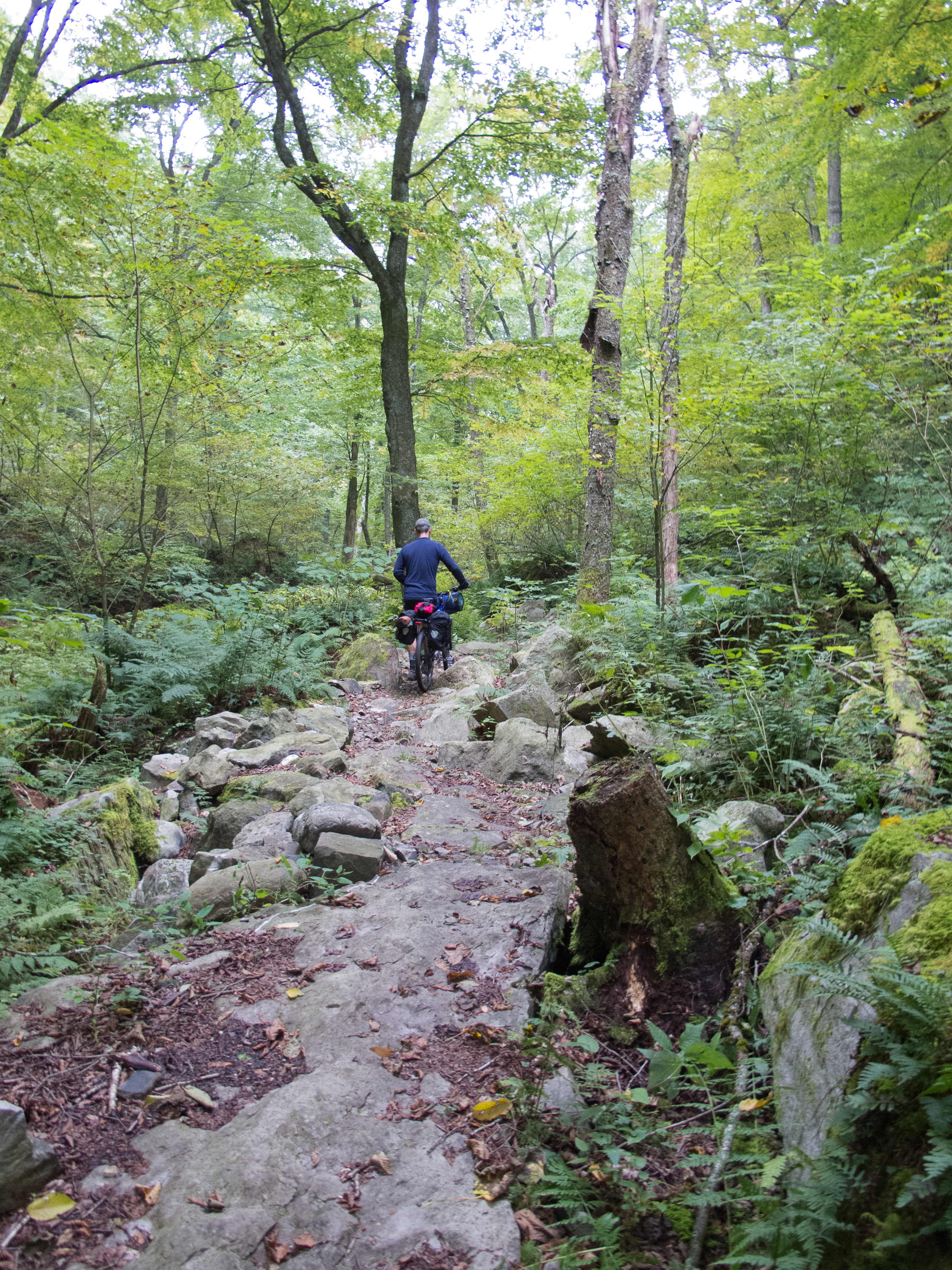
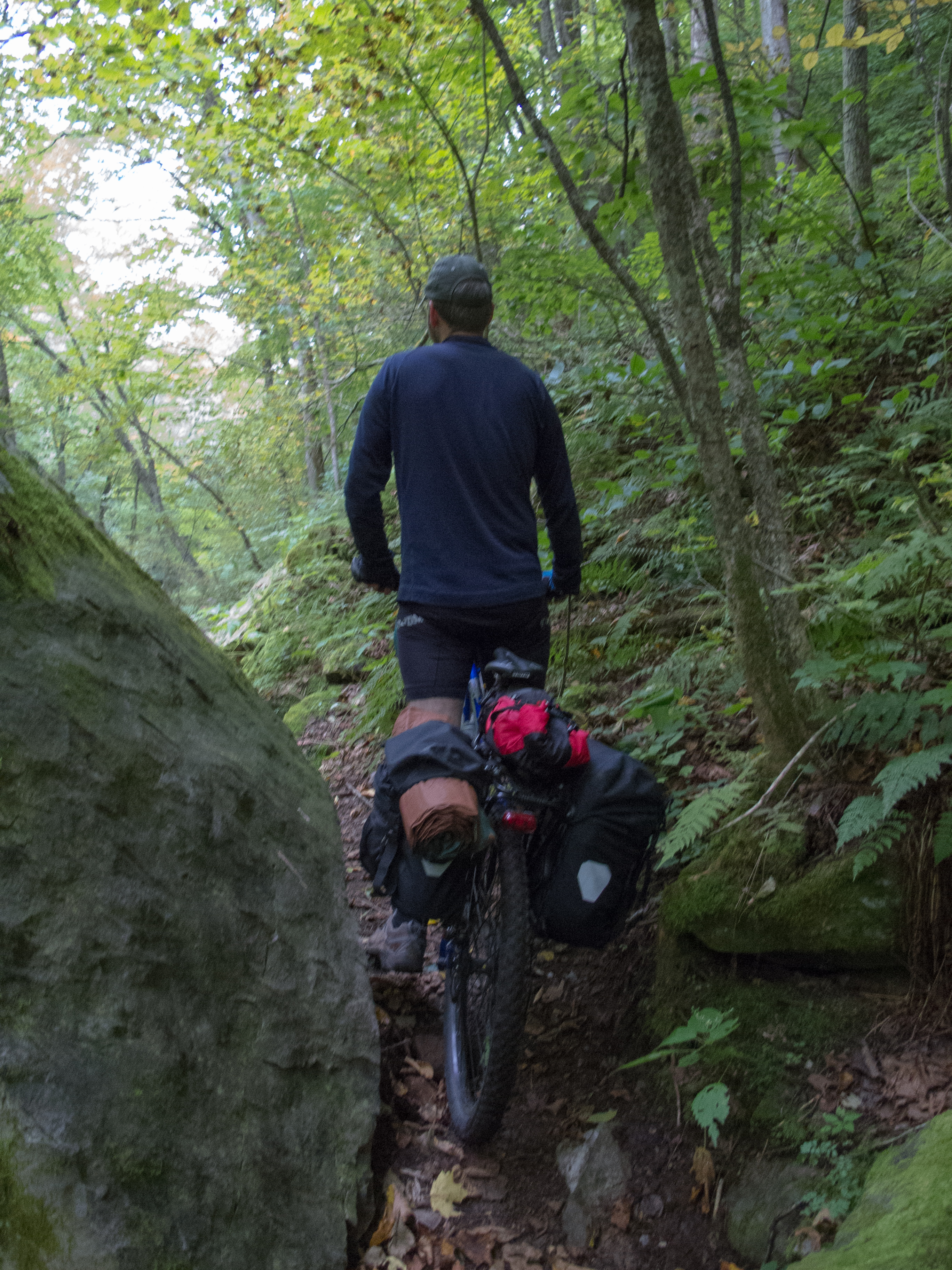
The trail started off innocently enough – wide, snowmobile like track through the woods. It quickly degraded. The trail progressed from wide snomo track to wet and rock filled snomo track to single track. The single track was overgrown, littered with leaves covering baby head rocks, and often wet. I crossed 6-8 creeks and lifted the bike over countless logs. The going got slow, in the dark.
I started to wonder about that bear, and as the light fell I rang my bell every couple of minutes. Getting tired from all the scwacking and feeling quite alone in the dark, nearing the darkest reaches of Type 2 fun, I pulled my phone out and played some music through the speaker. Coming from my old iPhone with limited storage, most of my music lives in the cloud now, save the bedtime music I play for the girls, and maybe a dozen songs that have managed to stay on the local storage. I listened to a few Beastie Boys tracks on repeat, followed by a live U2 playlist. One can only wonder what anyone would have thought as I crashed through the woods with ‘Sabatoge’ playing from my bar bag…
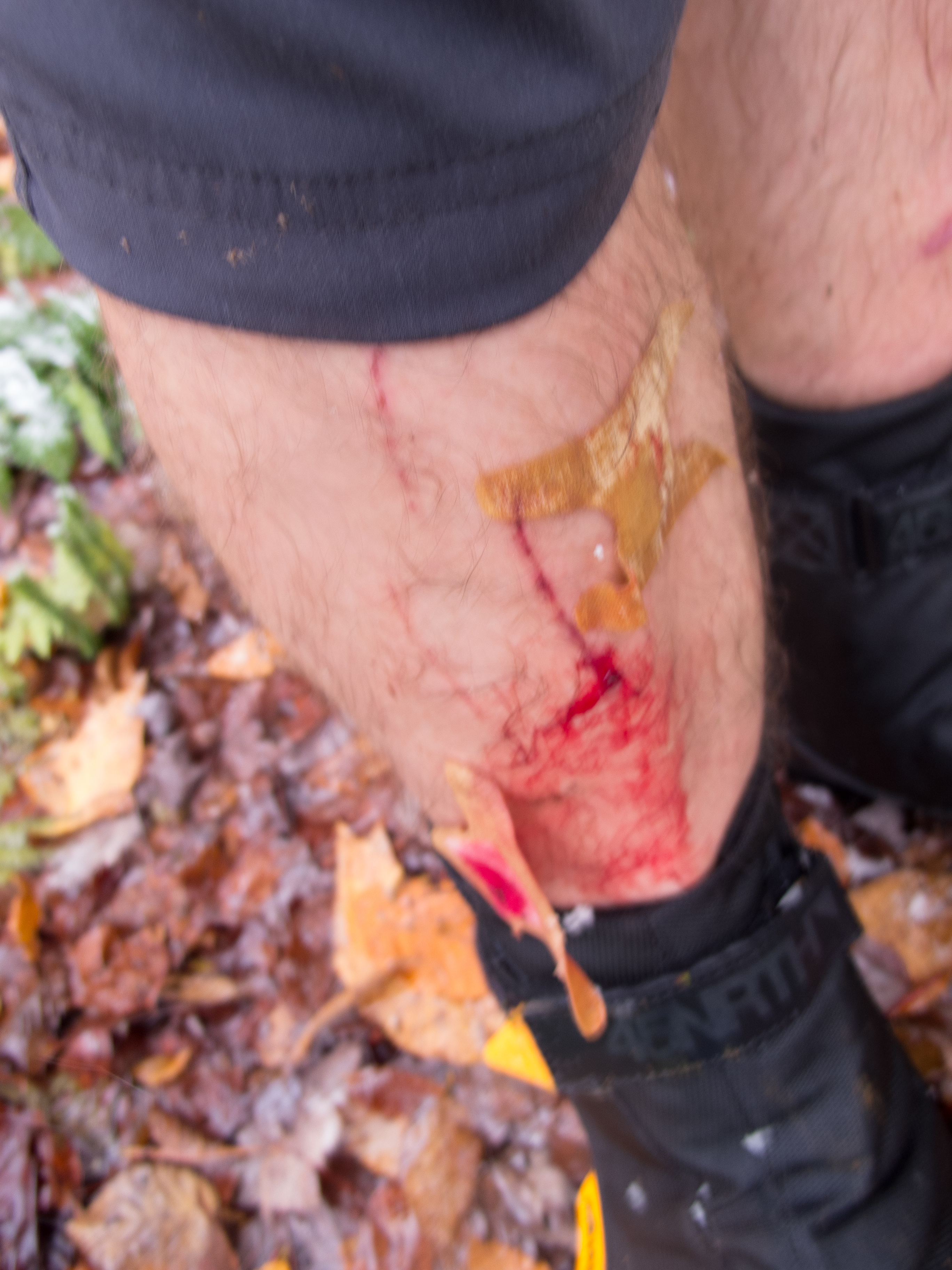
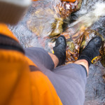
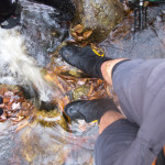
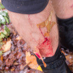
At some point I ran out of water, topped back up at a crossing, and proceeded to slip or lose control of the bike on some boulders. My pedals did a number on my shin, and I bled most of the way to the shelter, where I cleaned up and bandaged the wound.
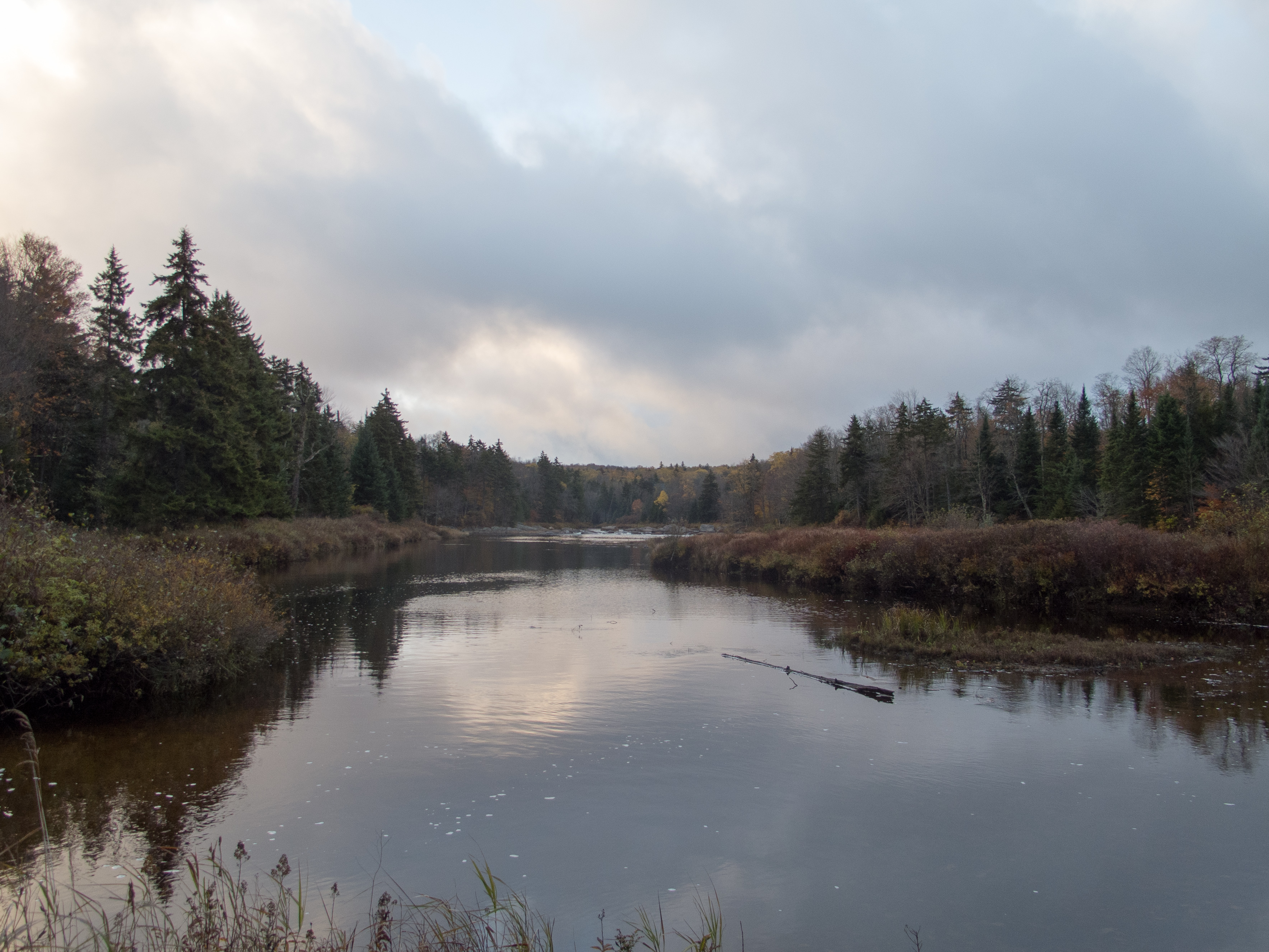
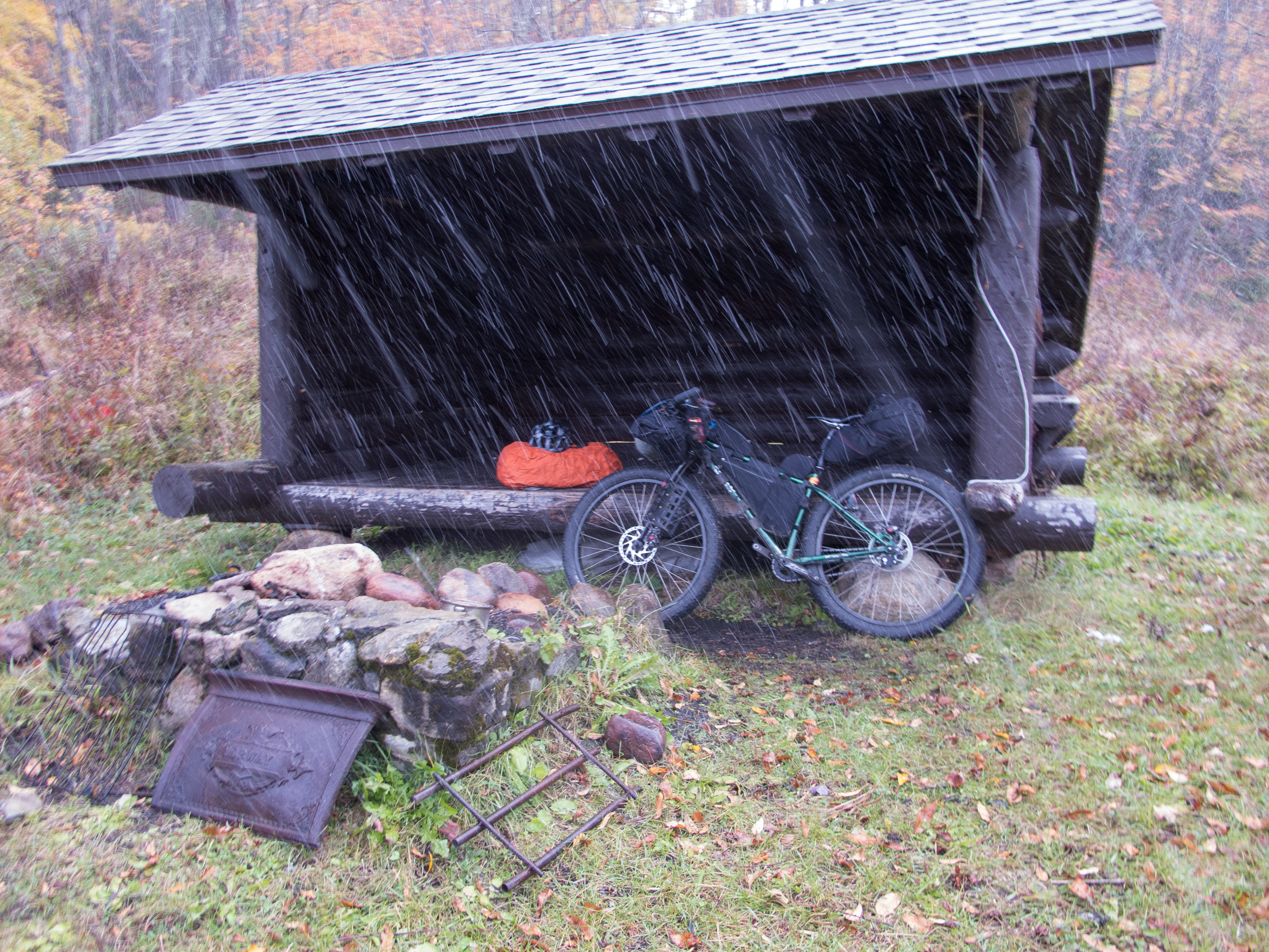
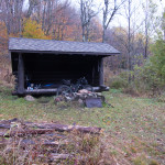
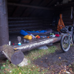
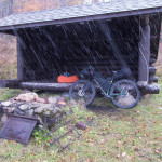
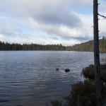
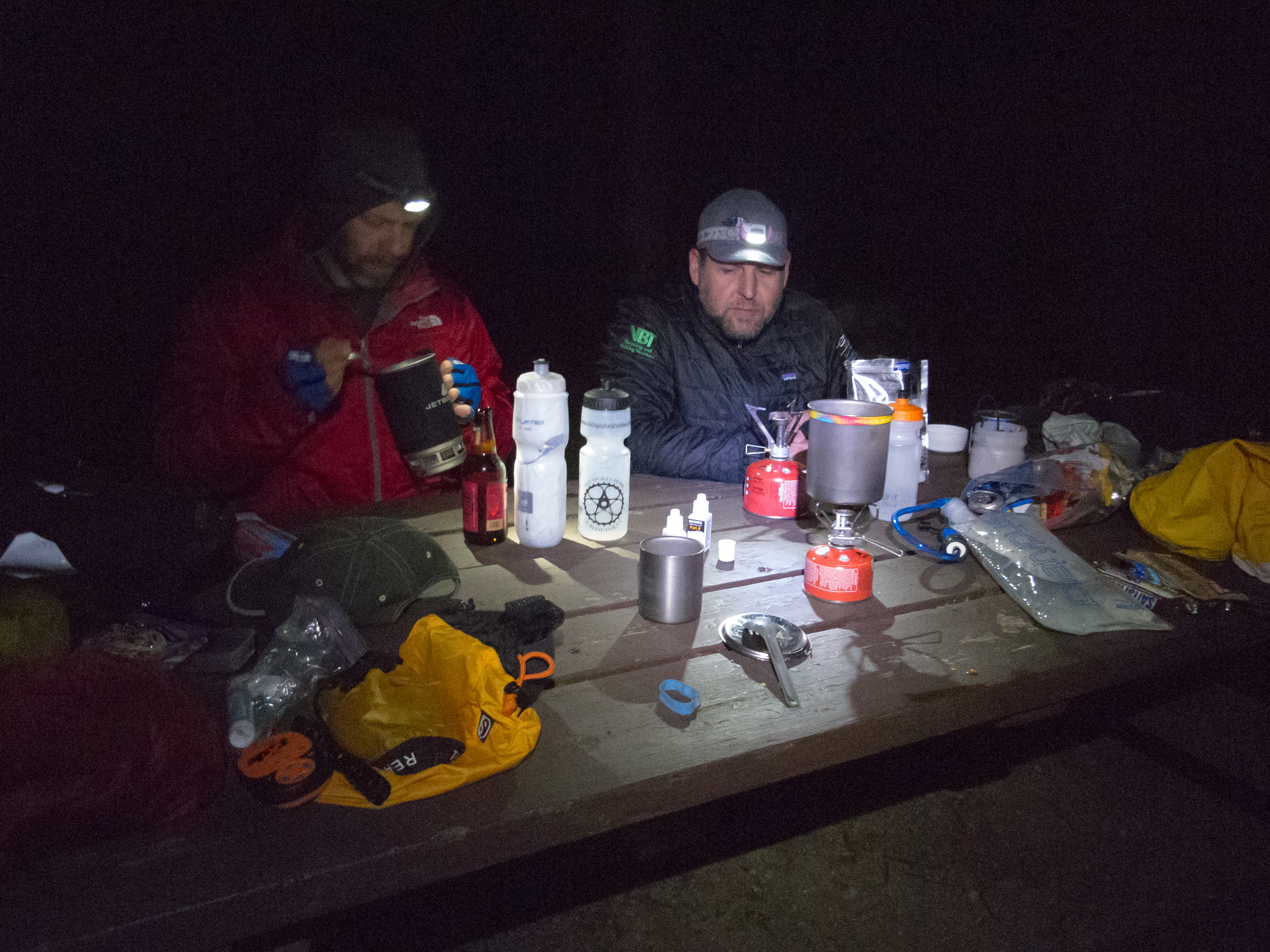
After 3h11m and an average speed of 2.2mph covering 6.9 miles I reached the shelter in the pitch black of night. I called out to make sure no one was sleeping or staying as I approached, and proceeded to stage my gear for the night. Dinner was started, sleeping bag and pad deployed, wounds dressed, layers changed, dry socks put on and food bear bagged into a tree. Off in the distance well across where I thought the river was I saw two headlights looking out towards me. I could barely hear some human chatter over the roar of the ‘falls’ (actually a series of rapids) – but I could not see a thing in the distance. I knew the river was out there… but I had little idea of my surroundings until I woke up.
As I settled in to sleep it started to rain, then came some freezing rain and sleet. At some point overnight it stopped and I was left with the roar of the falls.
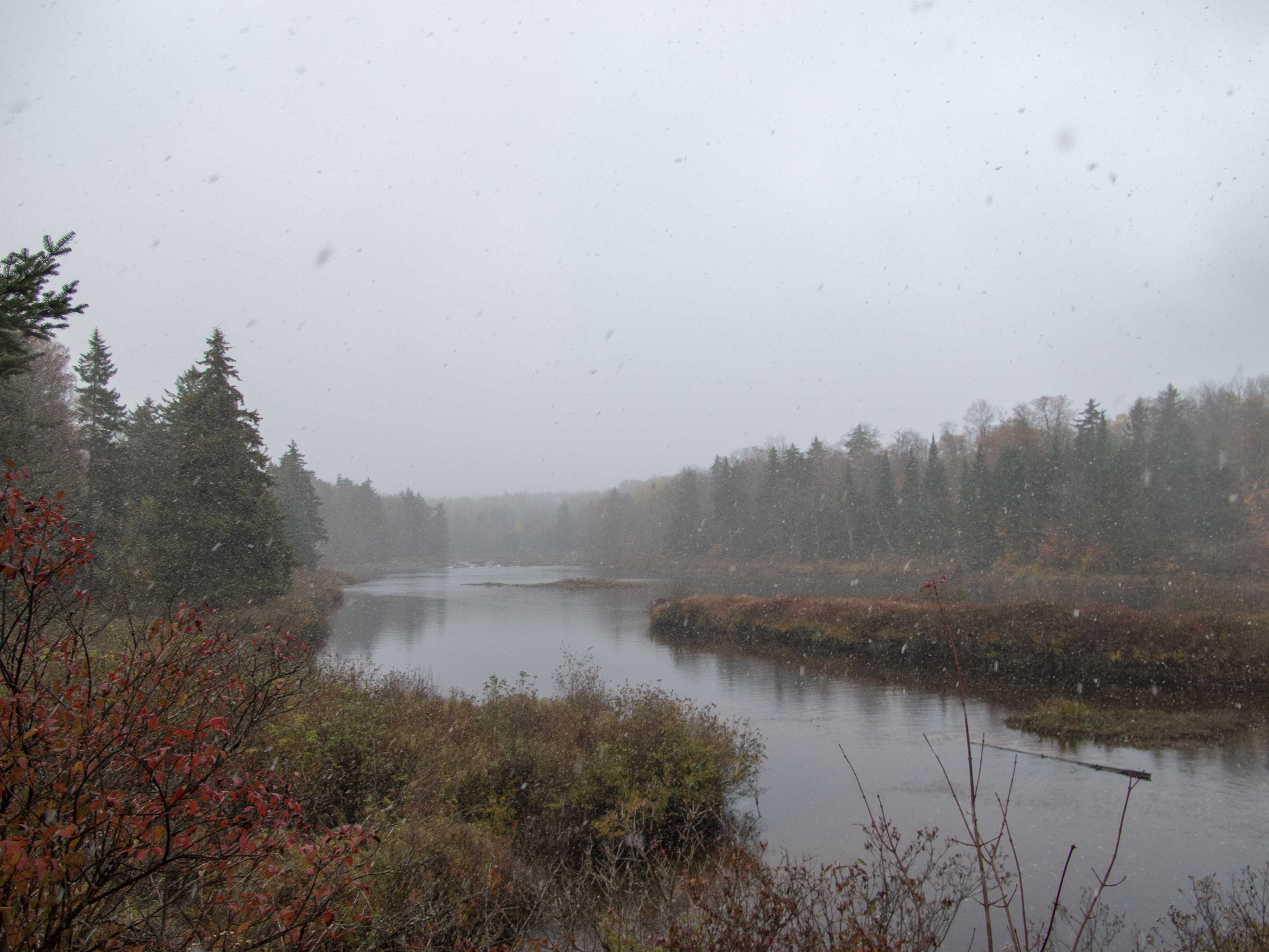
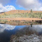
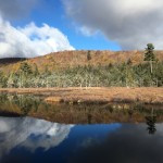
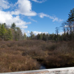
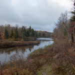
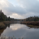
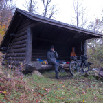
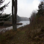
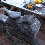
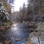
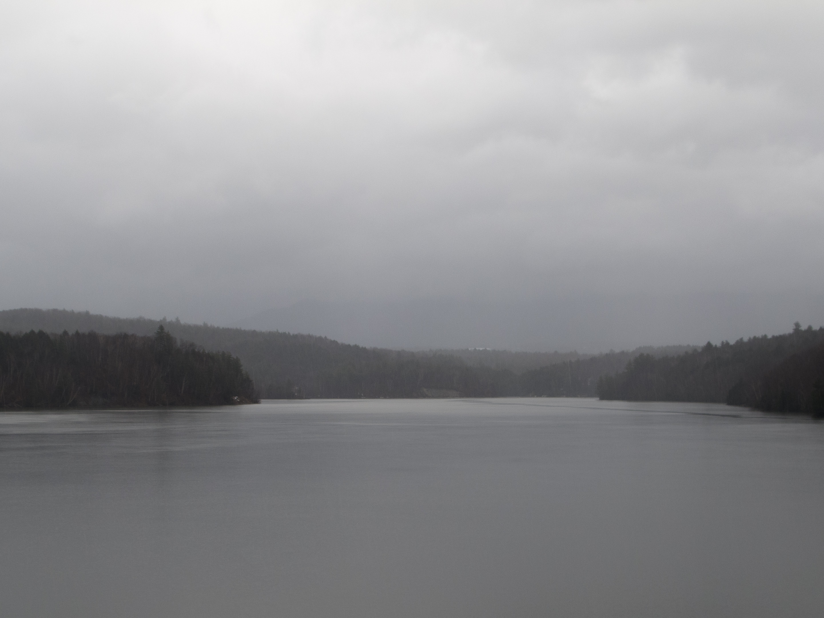
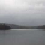
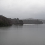
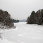
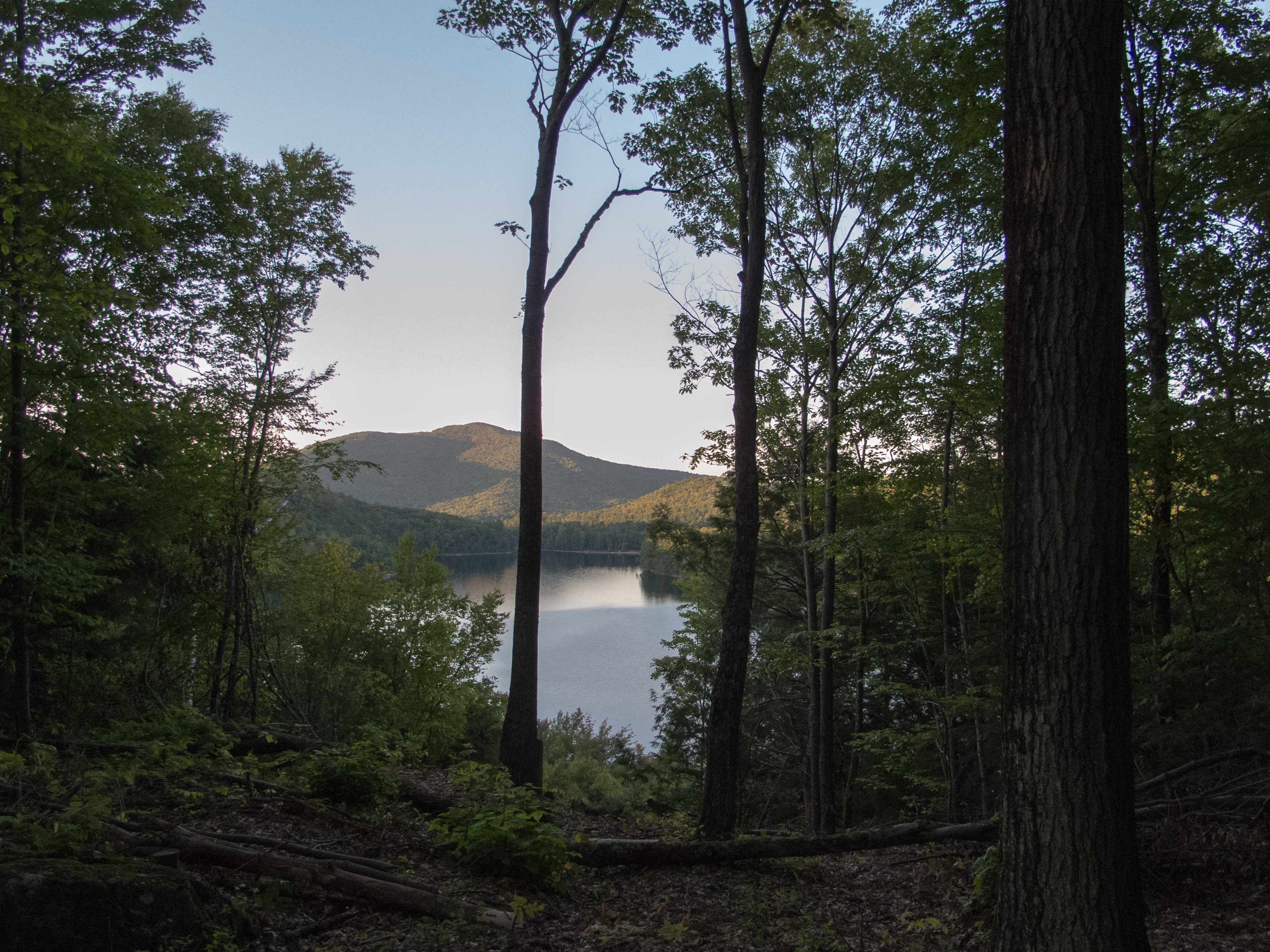
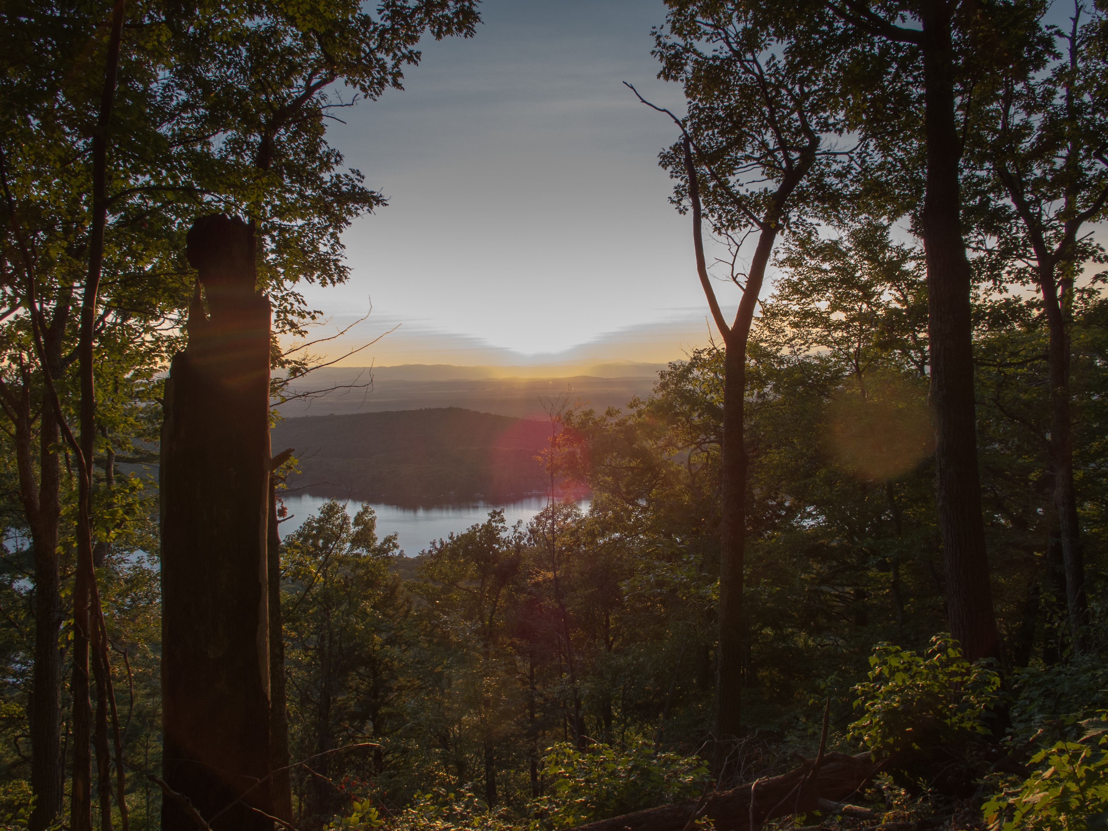
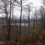
I awoke to a lovely view of the South Branch of the Moose River, and could make out Remsen Falls in the distance. The shelter was a bit of a mess, with garbage left inside, a plastic tarp tucked underneath, and cooking gear strewn about. I tidied up what I could -but I wasn’t prepared to carry out anyone elses trash while navigating single track, so I had to make due with leaving the place no better than I found it.
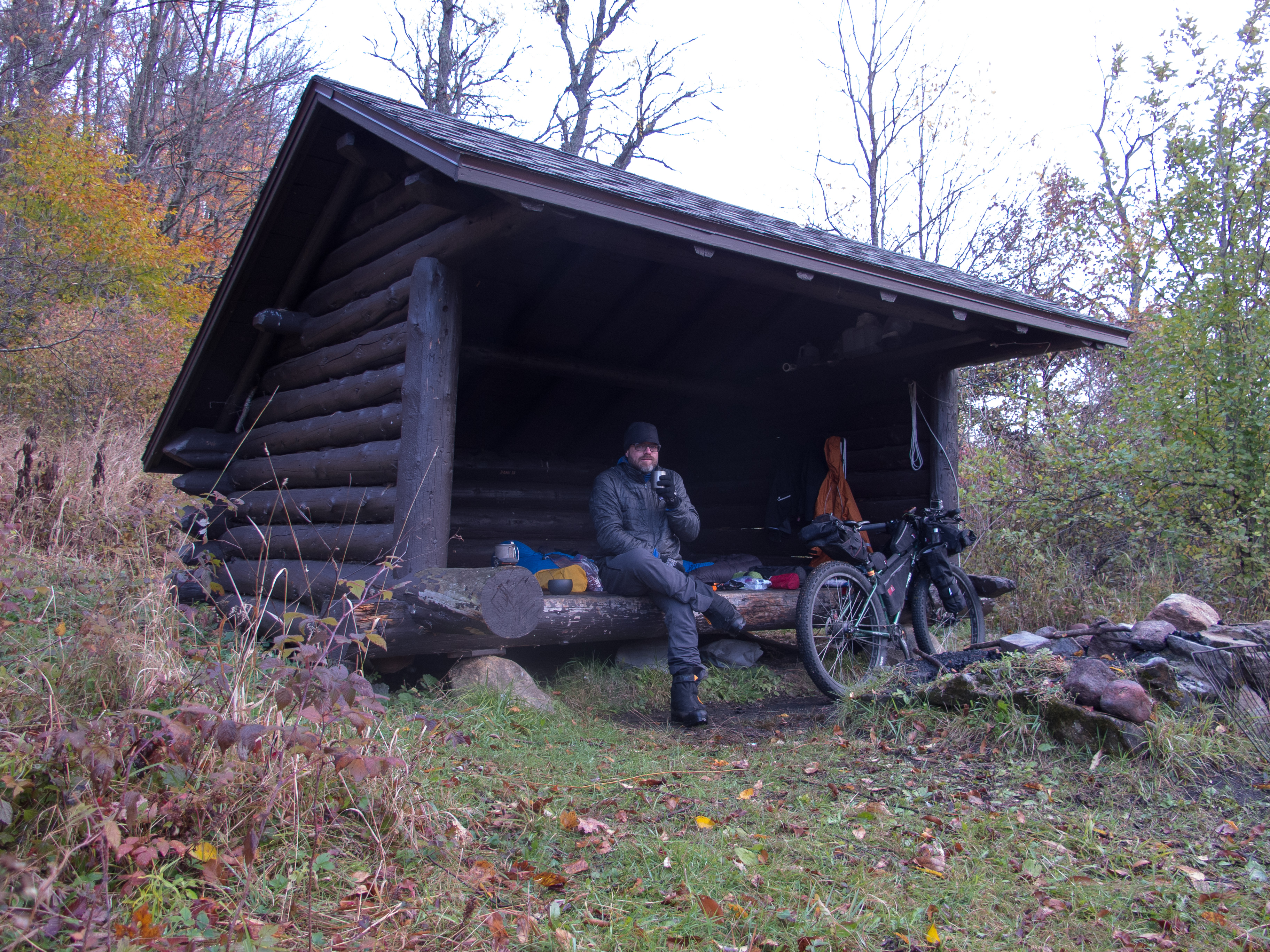
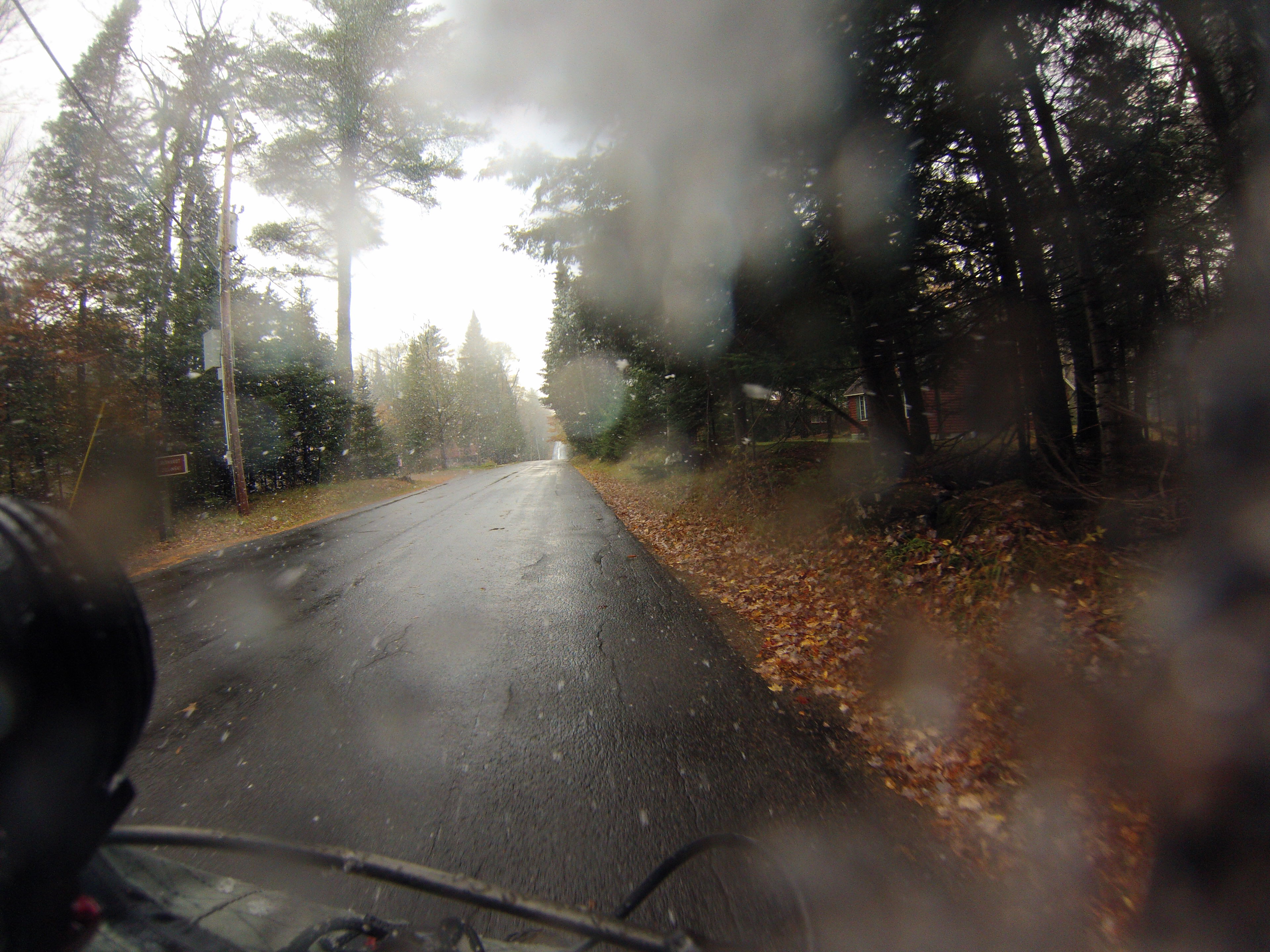
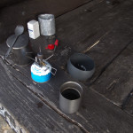
Breakfast was Starbuck’s VIA and oatmeal, followed by a second cup of coffee and a cold Pop Tart as is started to snow. As I finished packing a hunter dressed head to toe in camo came around the corner and we startled each other. He had his muzzle loader strung on his back, and we chatted for a bit about connecting trails, blow down, and bear season.

My original plan was to follow a trail further west and loop up to Nelson Lake before connecting back to Bisby Rd. After the night of scwacking I decided to leave that trail for another day… I didn’t need 12 miles of rough single track to slow me down – I wanted to find a campsite in the MRP before dark.
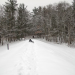
I left the shelter just as it started to snow… and began my hike / ride out. Before leaving I pulled some of my gear off the bike and put it into my backpack to make lifting the bike a bit easier. This ended up working great – the bike handled better on the rough single track, and it was easier to maneuver over the creeks and logs with less weight on it.

I crossed the same number of creeks – but it was easier in the daylight. My boots soaked through with the snow / rain / wet brush, and by the time I got to the trailhead I was slogging in completely soaked socks.
I made the short trip to Old Forge, and charged my headlamp from my dynohub and USBwerk on the pavement section.
In town I made a stop at the department store and grabbed another pair of socks, band aids to replenish my first aid kit, alcohol wipes and a copy of the local paper. After asking for two plastic shopping bags I wandered around the corner and settled into a bar for lunch. Soaking wet, with backpack and helmet on, I sat down and waited to order, while I cleaned out my shin, re-bandaged, and tidied up my gear. A family from New Jersey eventually shared my table, and I hope they weren’t too put off by the stinky, wet, bleeding man that wolfed down his food in record time.
After lunch I moved gear from my pack to the bike, changed layers, and addressed my feet. I kept my new socks for camp, wrung out the socks on my feet, then tucked them into the plastic bags and then into the boots. My feet, while damp, stayed warm the rest of the day. I rode off, and made it about 1/4 mile before deciding I wanted warmer gloves. I pulled under a deck / patio at a bar and tweaked layers, and while I was packing up two guys came to the window and asked about my bike. They pointed to their cars parked across from me with fatbikes on the roof. They didn’t really know what to do with knowledge of my trip. They had been riding single track that morning at the local ski hill, and were now drinking beer as the snow came down. I was headed off into the woods to camp.
It seemed to take forever to get back to Inlet, where I made a quick stop into the general store for juice and chips, and then headed up and then down into the MRP.
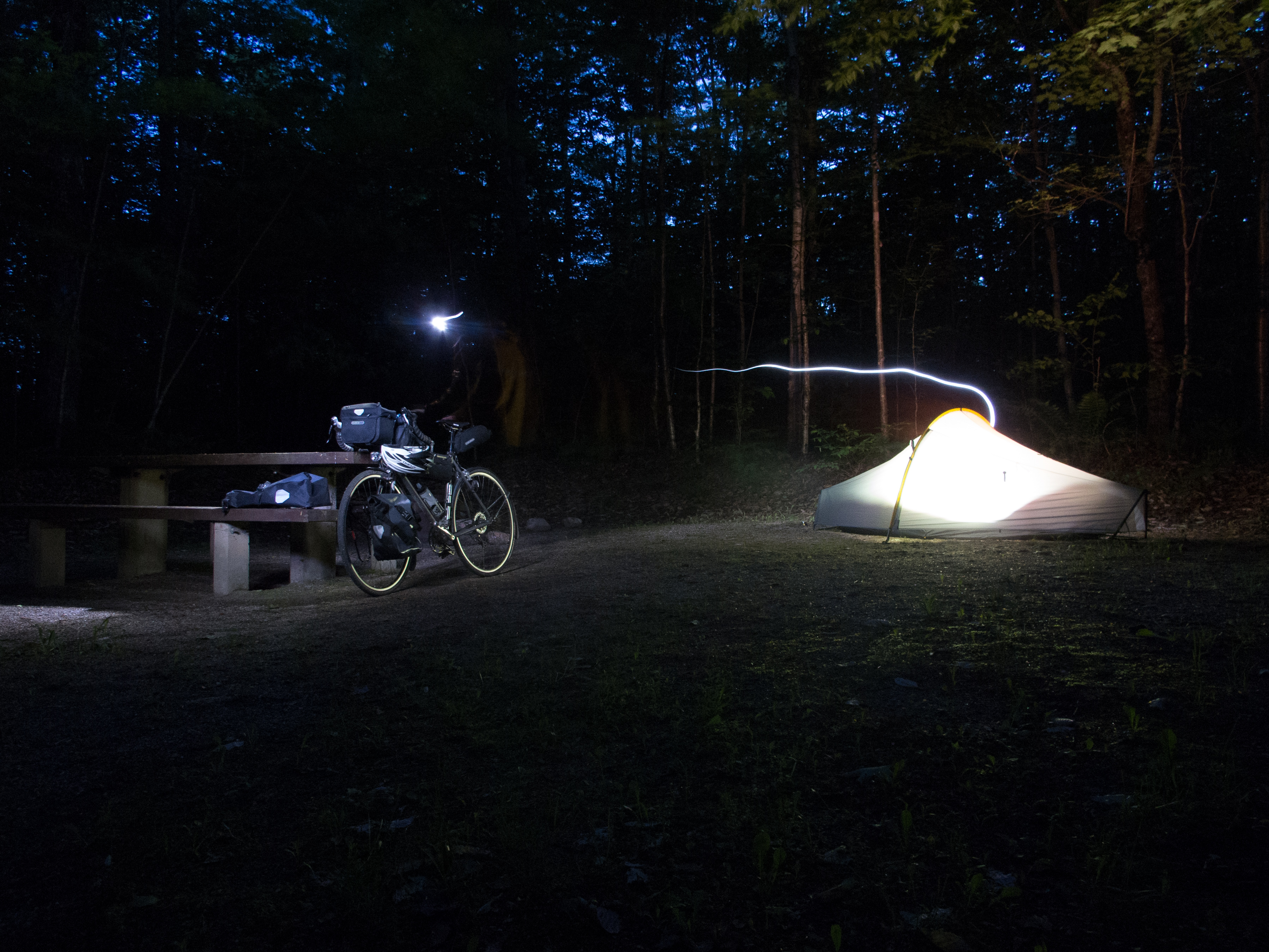
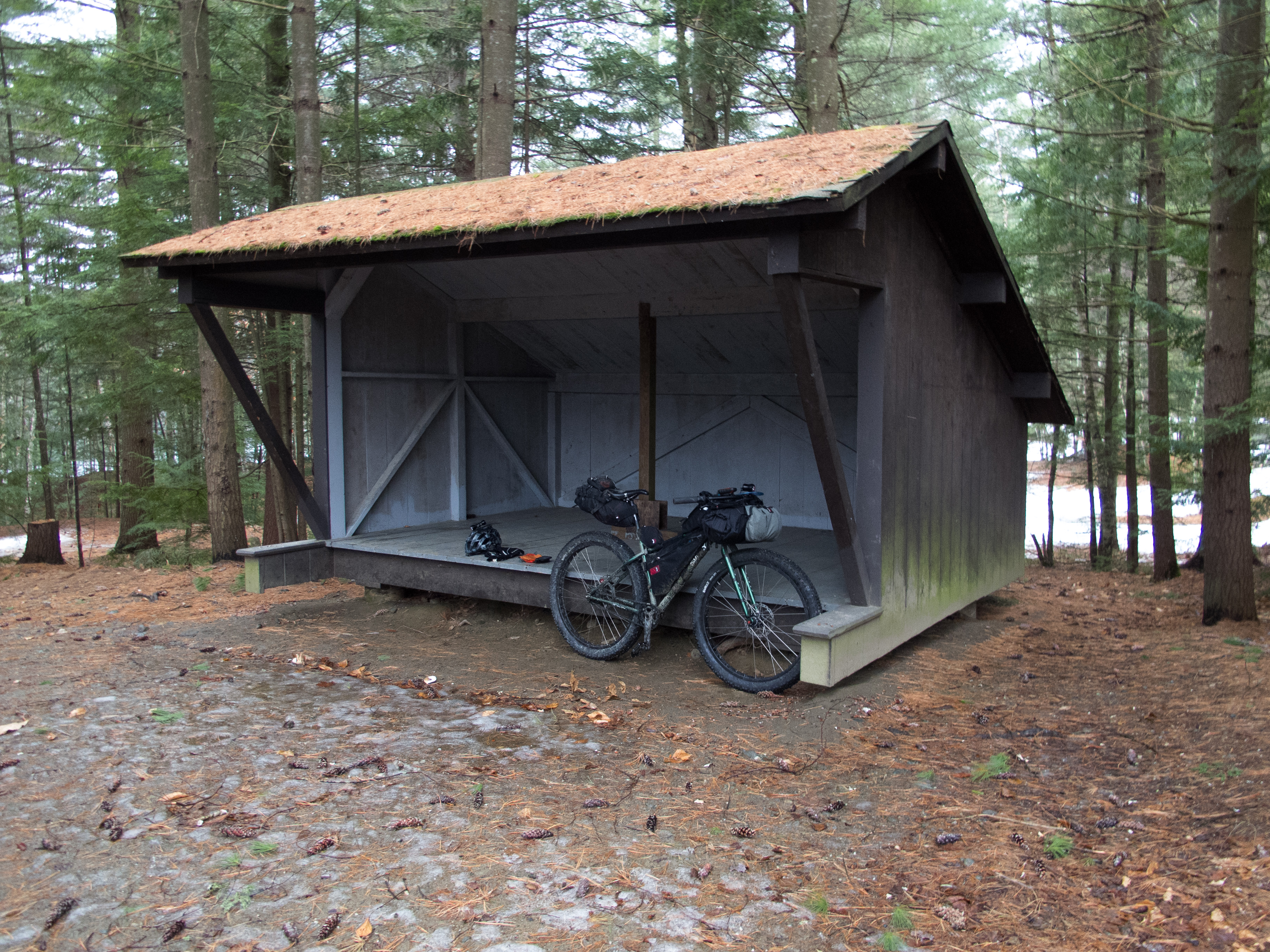
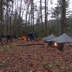
The snow / rain kept coming. I was warm and dry, aside from my soggy feet. The temperature started to drop with the light. I planned to camp somewhere leaving me 12-16 miles to finish Sunday morning. My first choice was Mitchell Ponds, but as I started down the trail I encountered a large group having a meet up or annual gathering. They were camping in huge canvas tents with wood stoves inside. I didn’t want to be near a large group overnight – so I carried on and eventually settled in at Helldiver Pond.
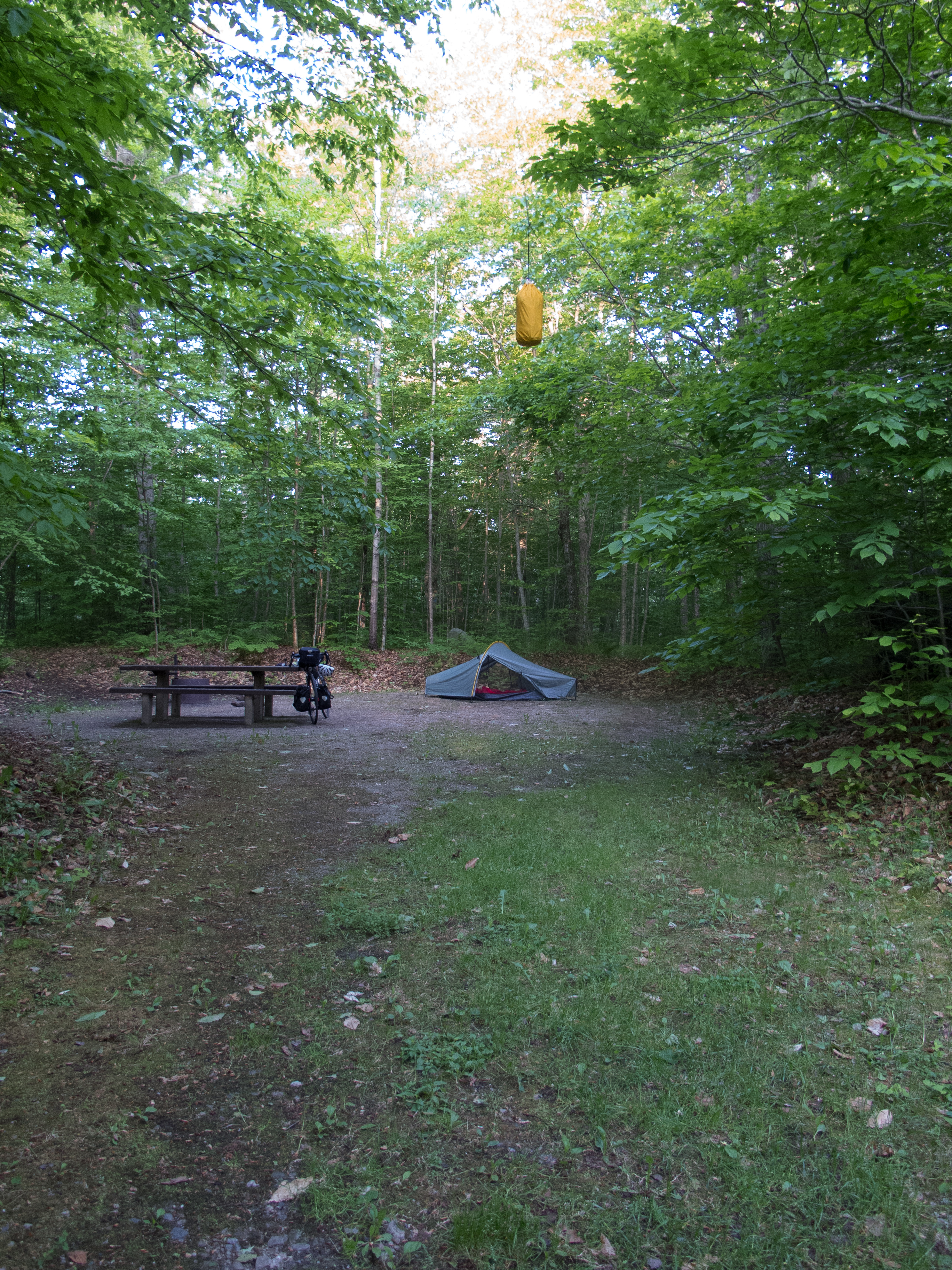
I arrived at dusk, picked a site, and started to unpack and make dinner. While stringing my bear bag I noticed two relatively fresh piles of bear scat right in my site, so I picked up everything and moved a bit down the road.
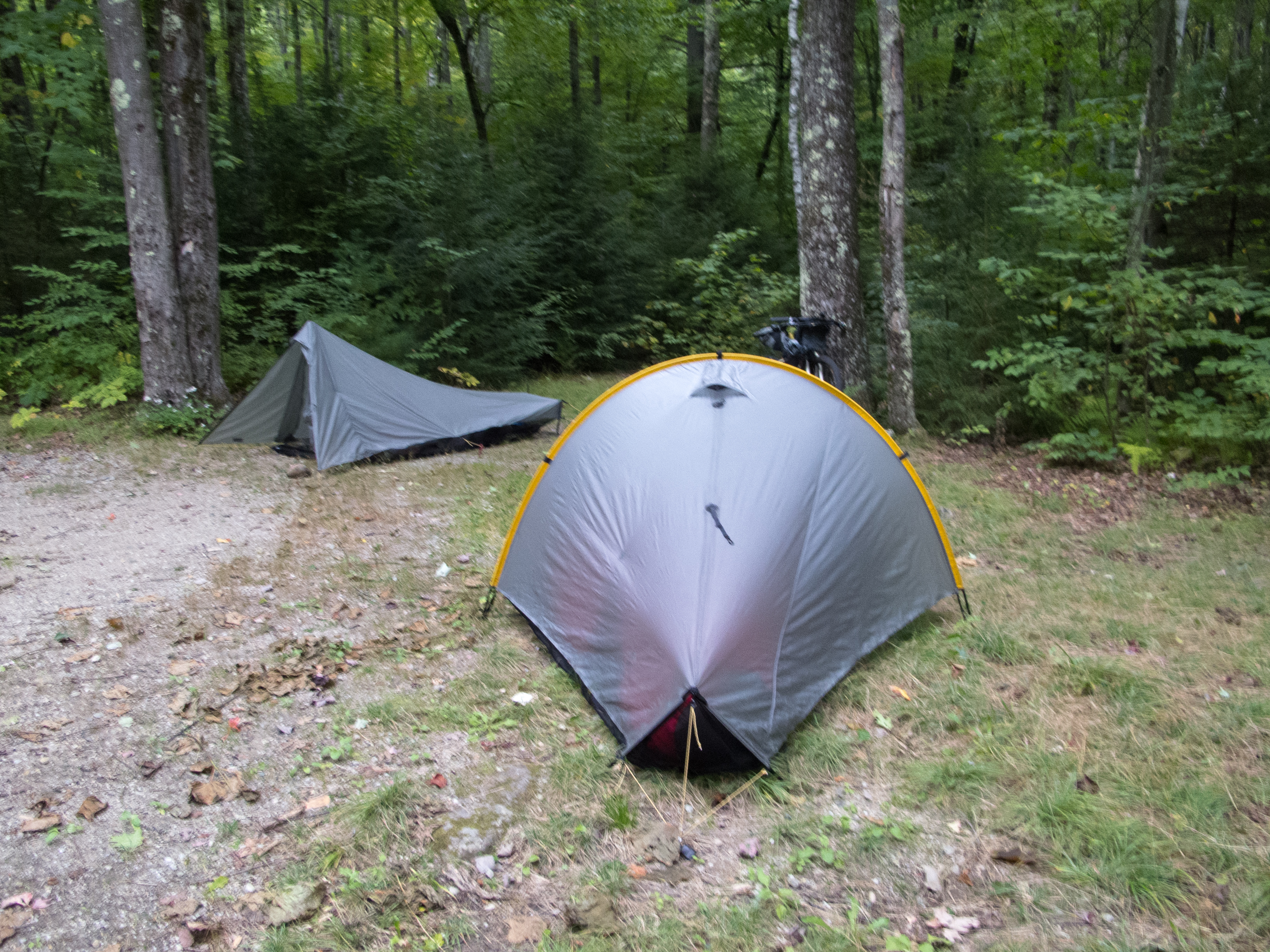
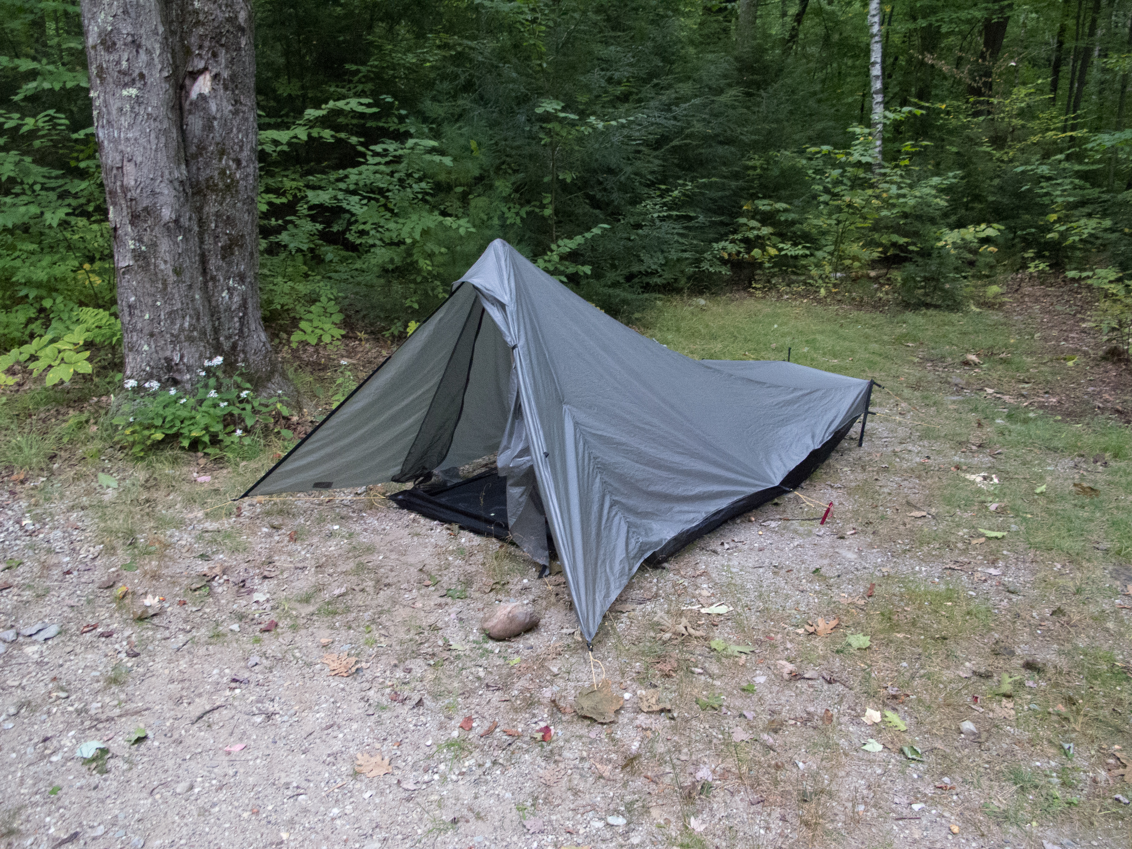
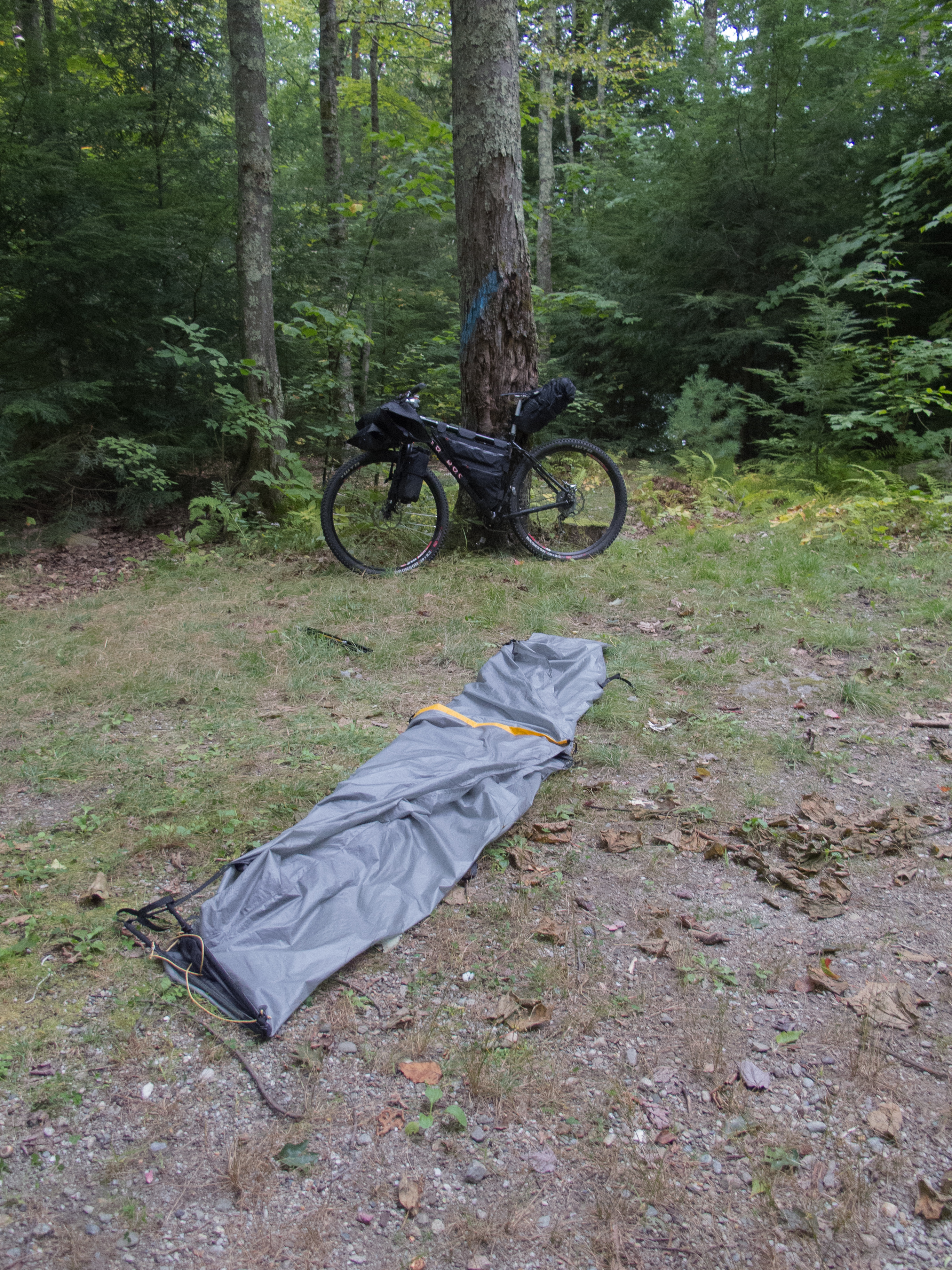
While dinner was cooking I setup my Tarptent Moment, unpacked my gear, and staged everything for the cold night. I slept with my camera, cell phone, and spare battery, along with the fuel canister from my stove and my Sawyer Mini filter. I stuffed my boots with that newspaper from town and opened them up as far as I could. I settled into my tent and finally put on those dry socks.
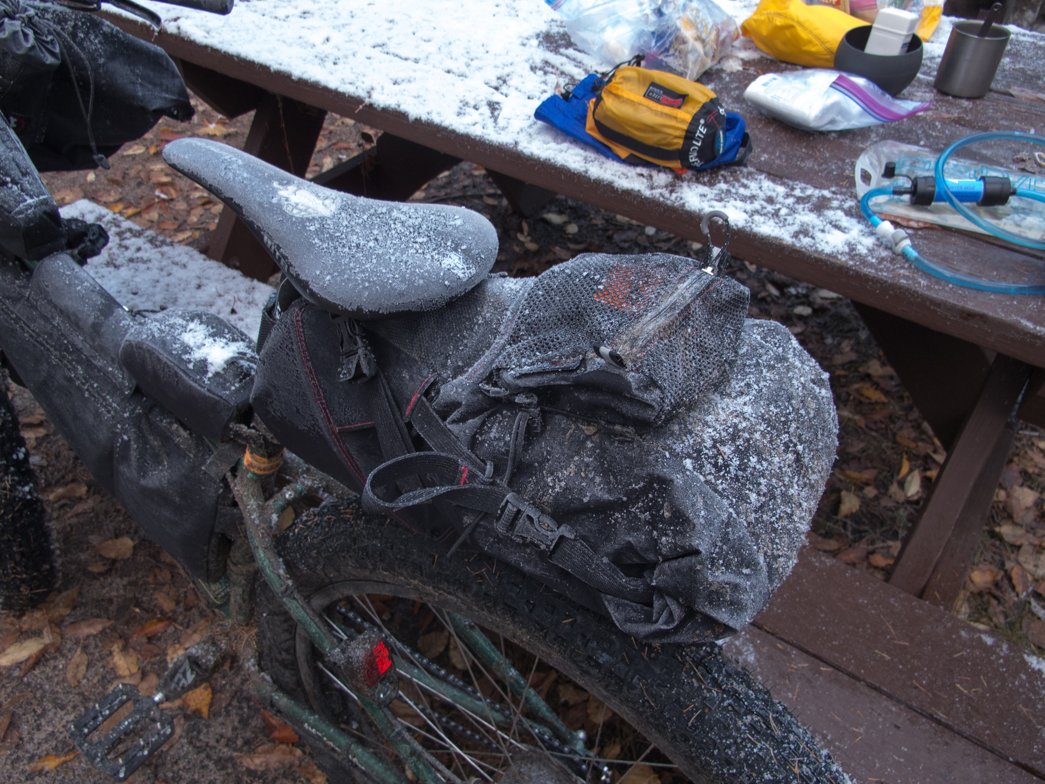
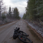
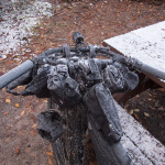
Cold came overnight. Everything froze. Zippers, buckles, cord ties. Even my chain was frozen. Breakfast was quick. A second cup of coffee would have been welcome as I packed up but my hydro line froze within about 10 minutes of filling my pot for boiling. I’m pretty sure my Sawyer froze within about an hour of leaving the tent, so I planned to purify some water with Aqua Mira drops up the road if I needed any to finish the mileage.
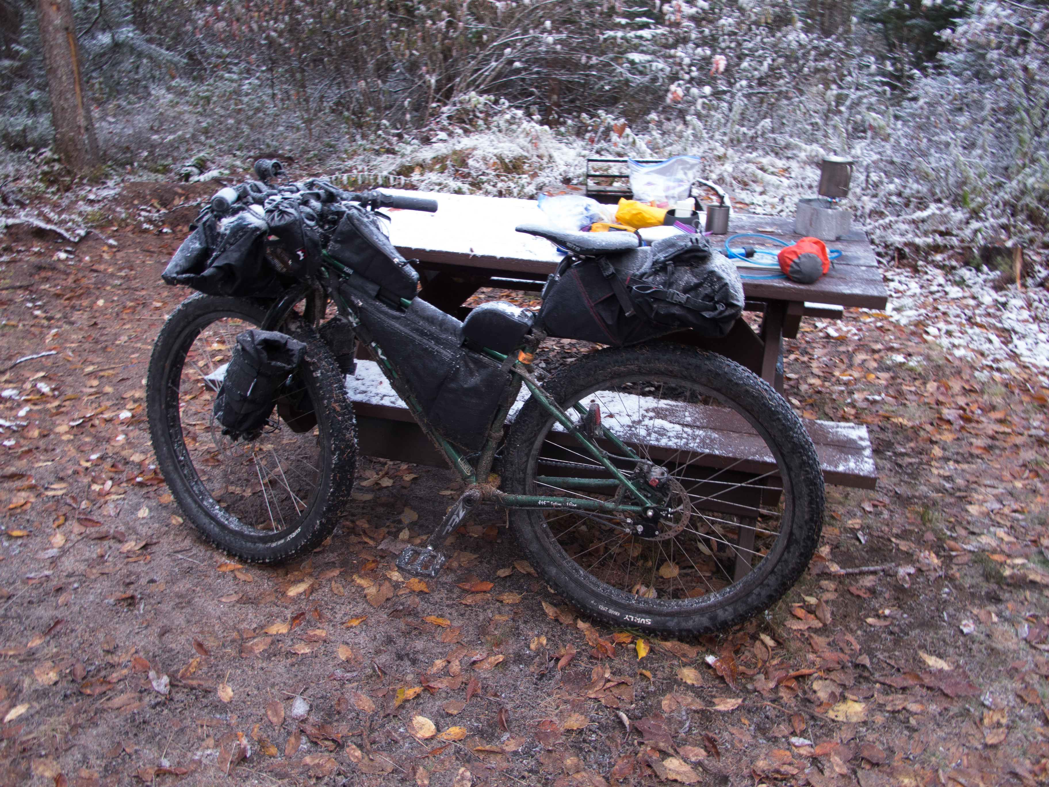
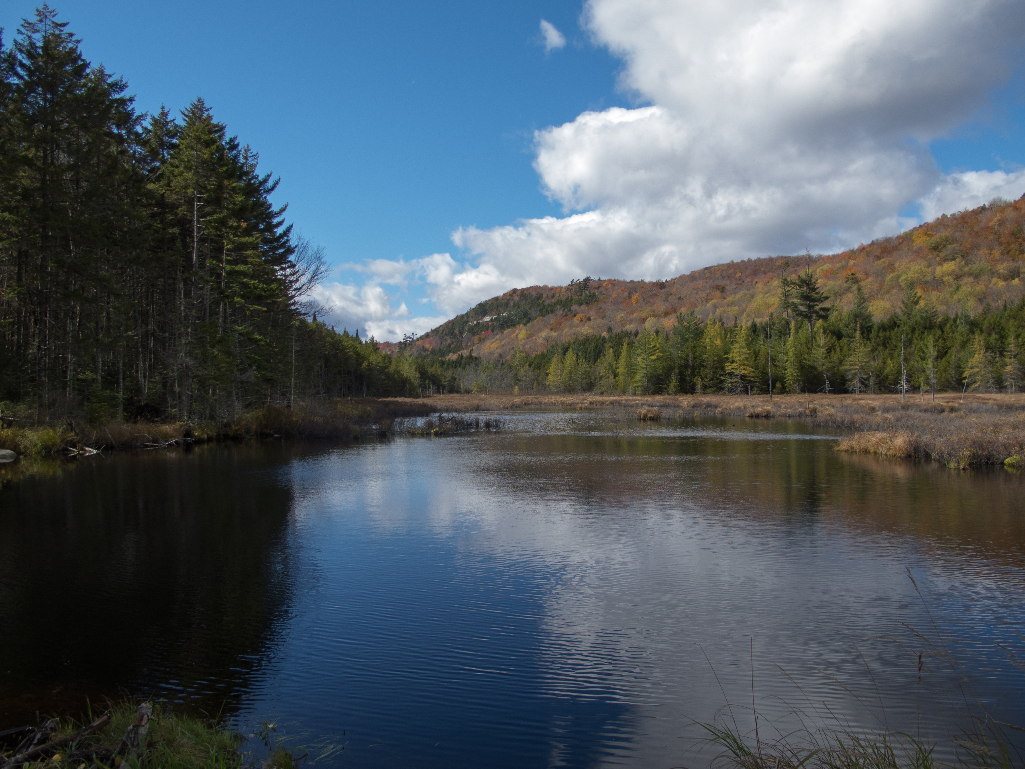
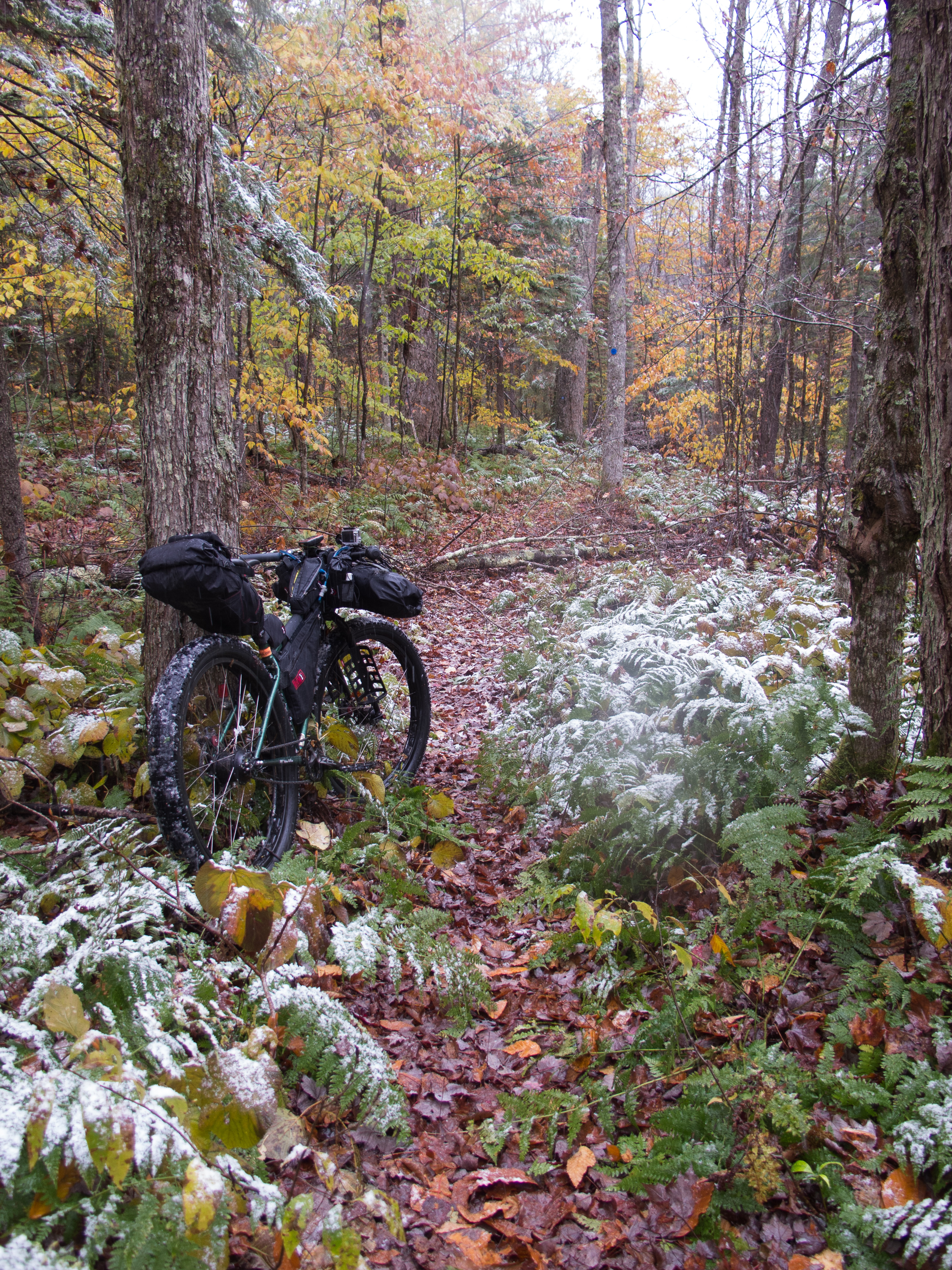
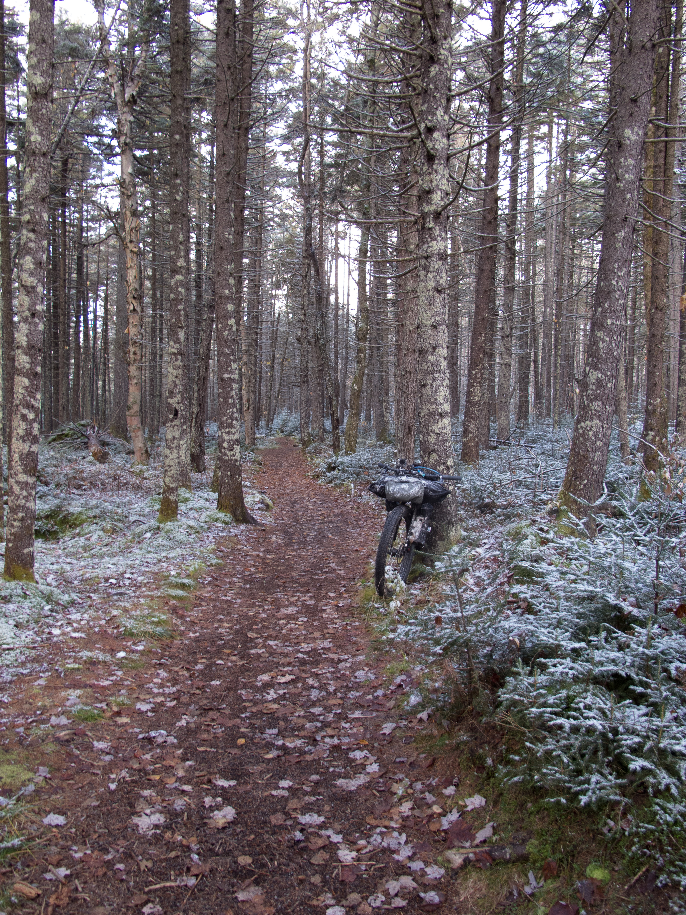
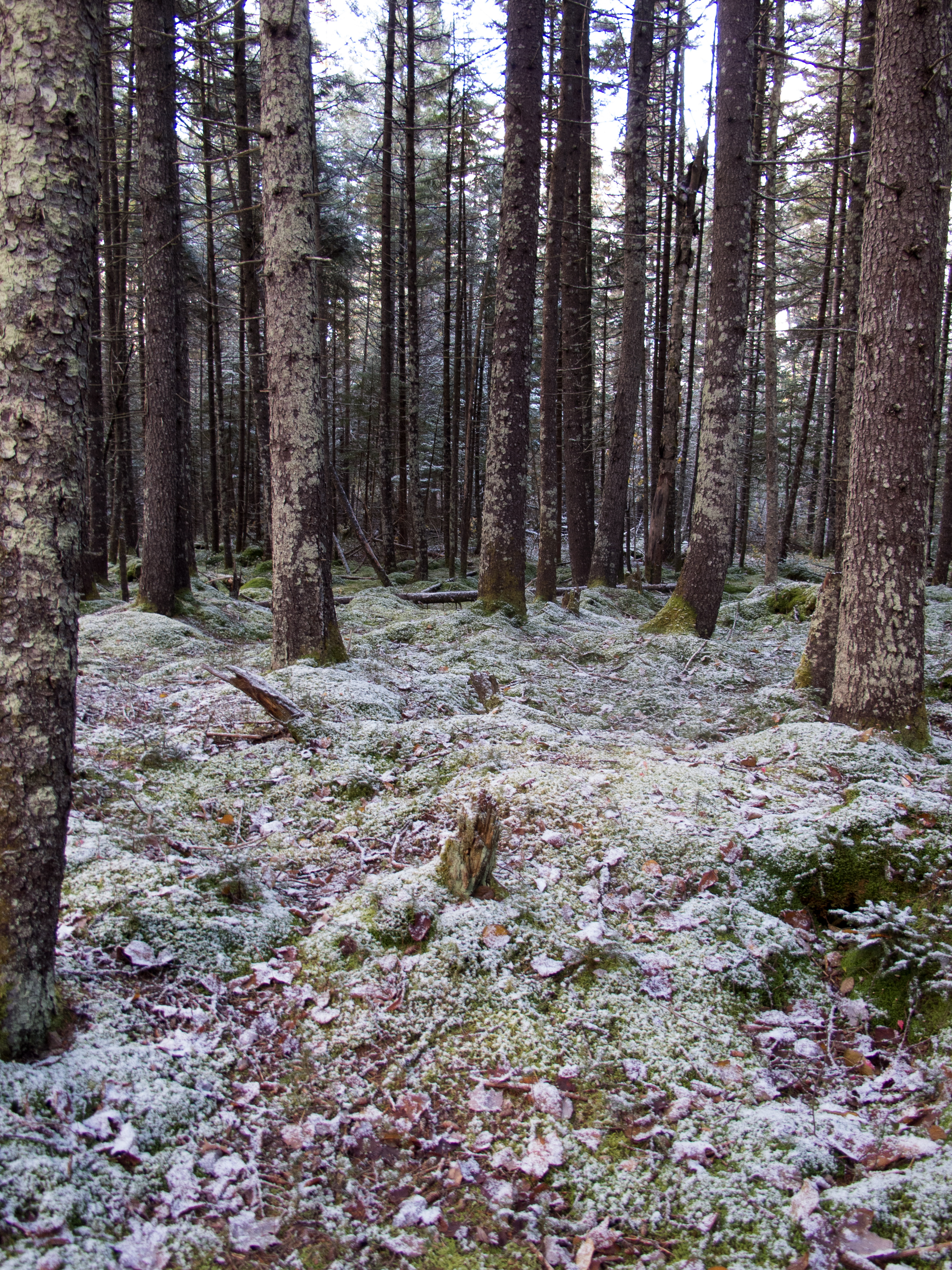
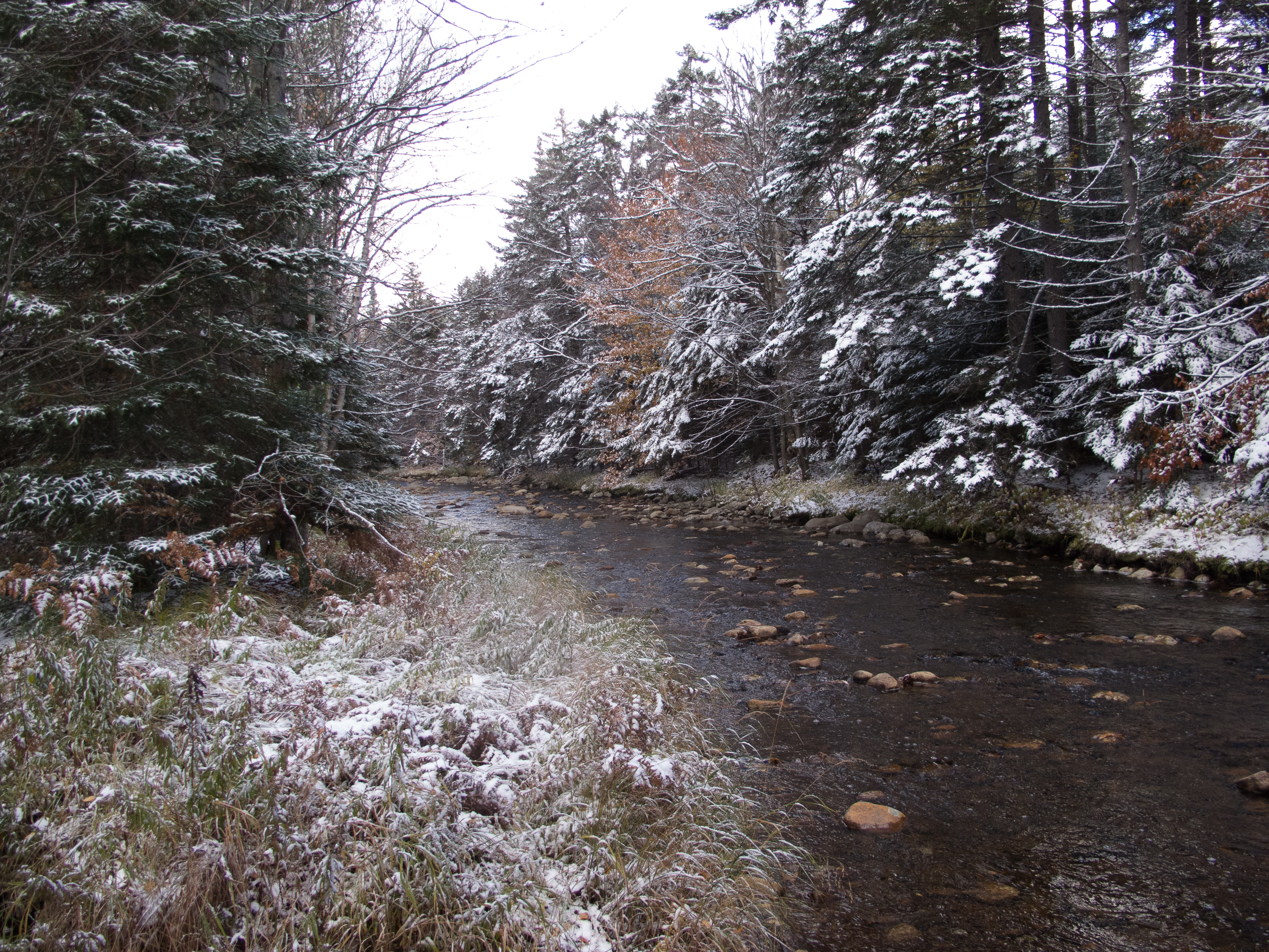
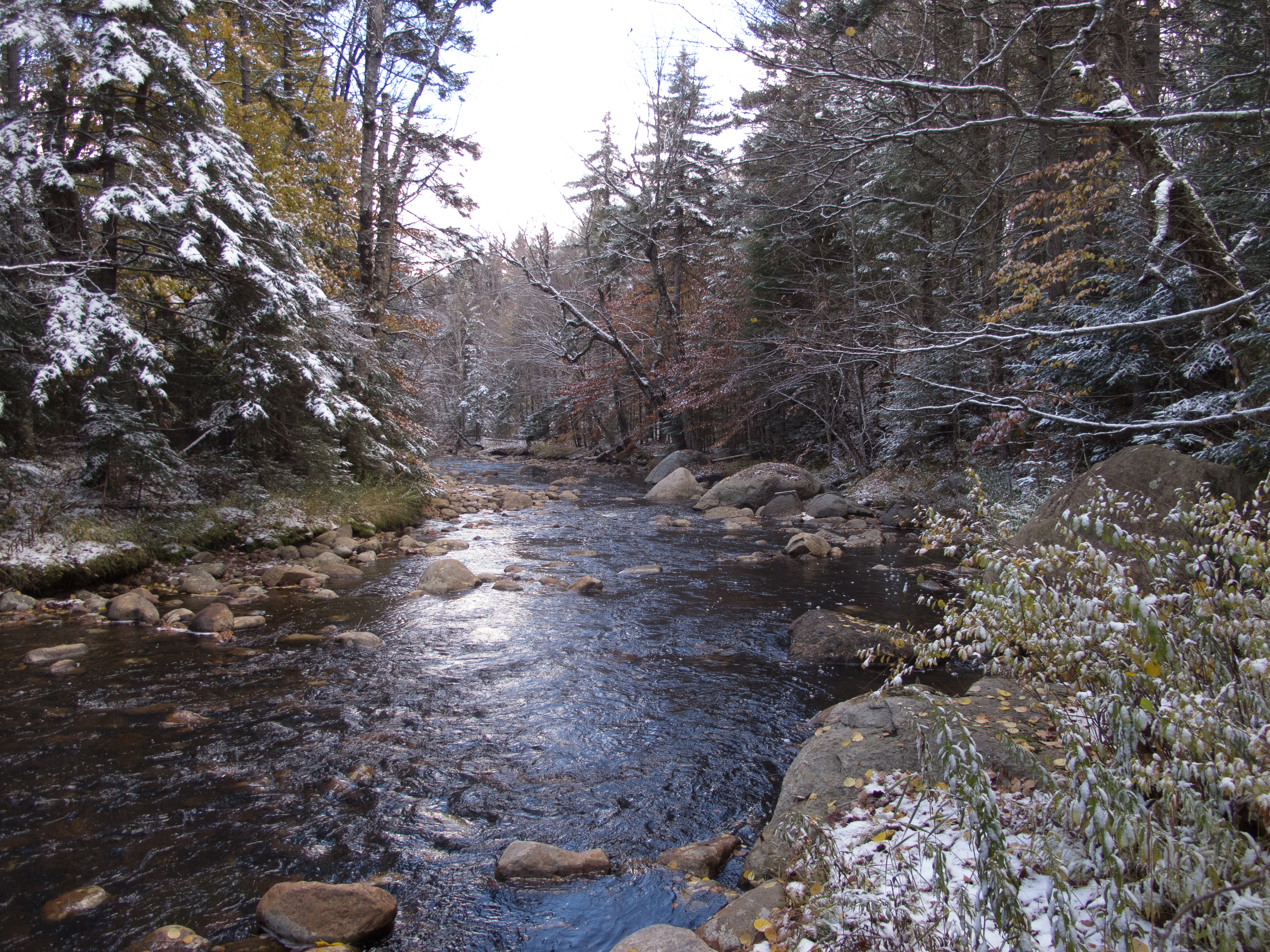
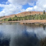
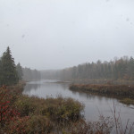
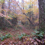
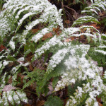
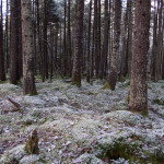
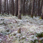
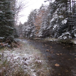
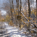
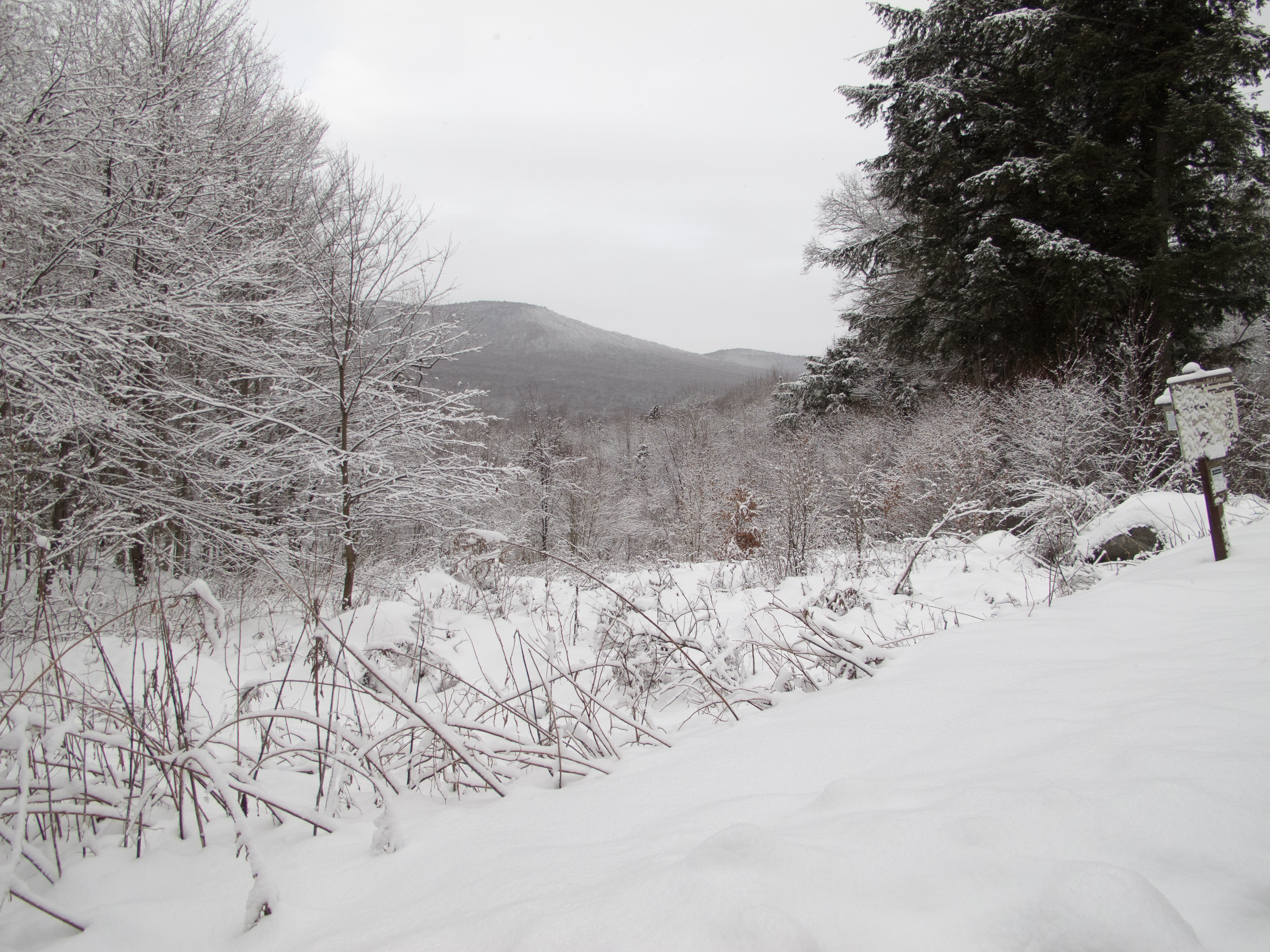
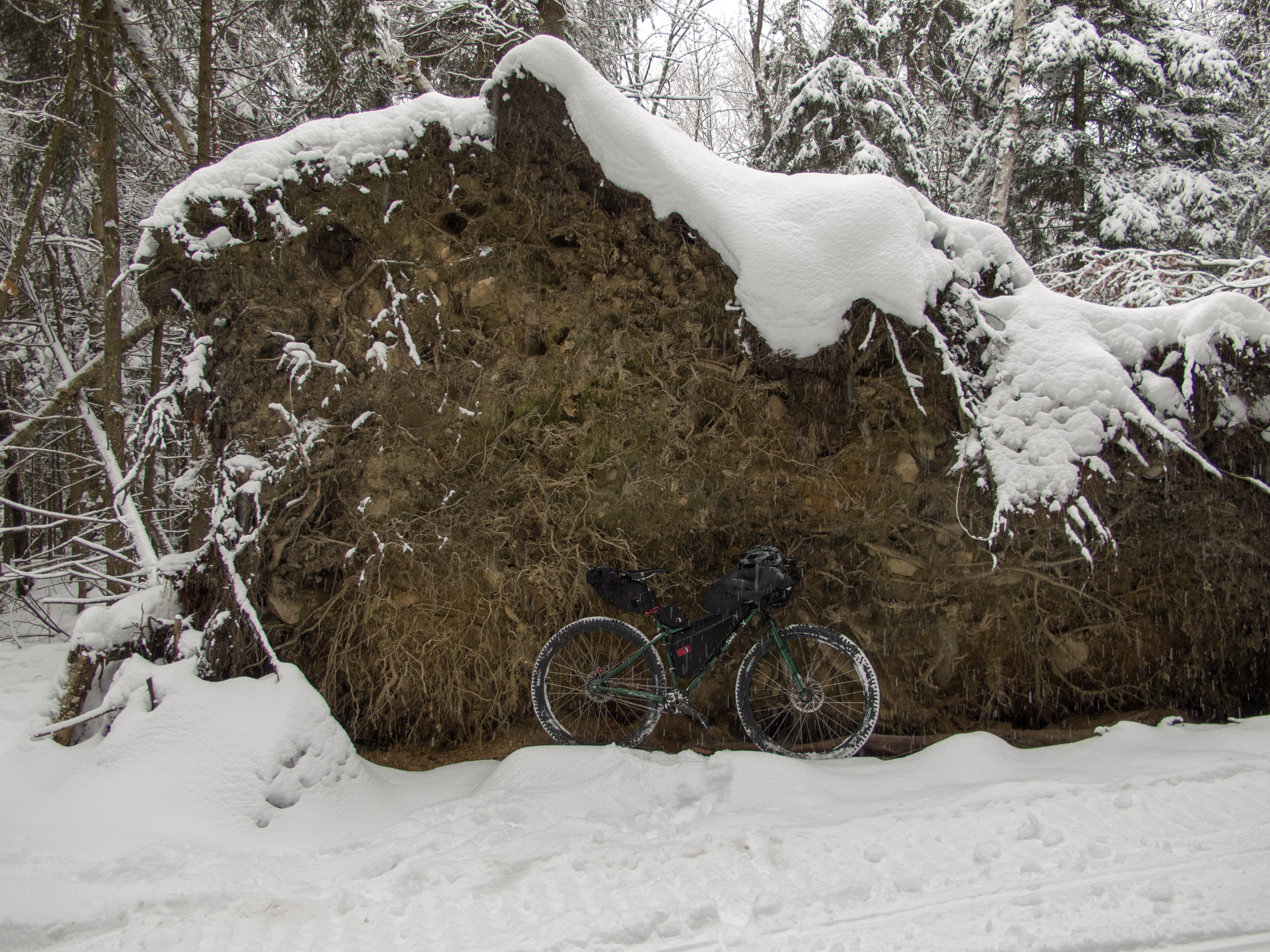
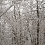
After packing up and adjusting layers I rode the short trail to Helldiver Pond. The woods were incredible with a dusting a frozen snow.
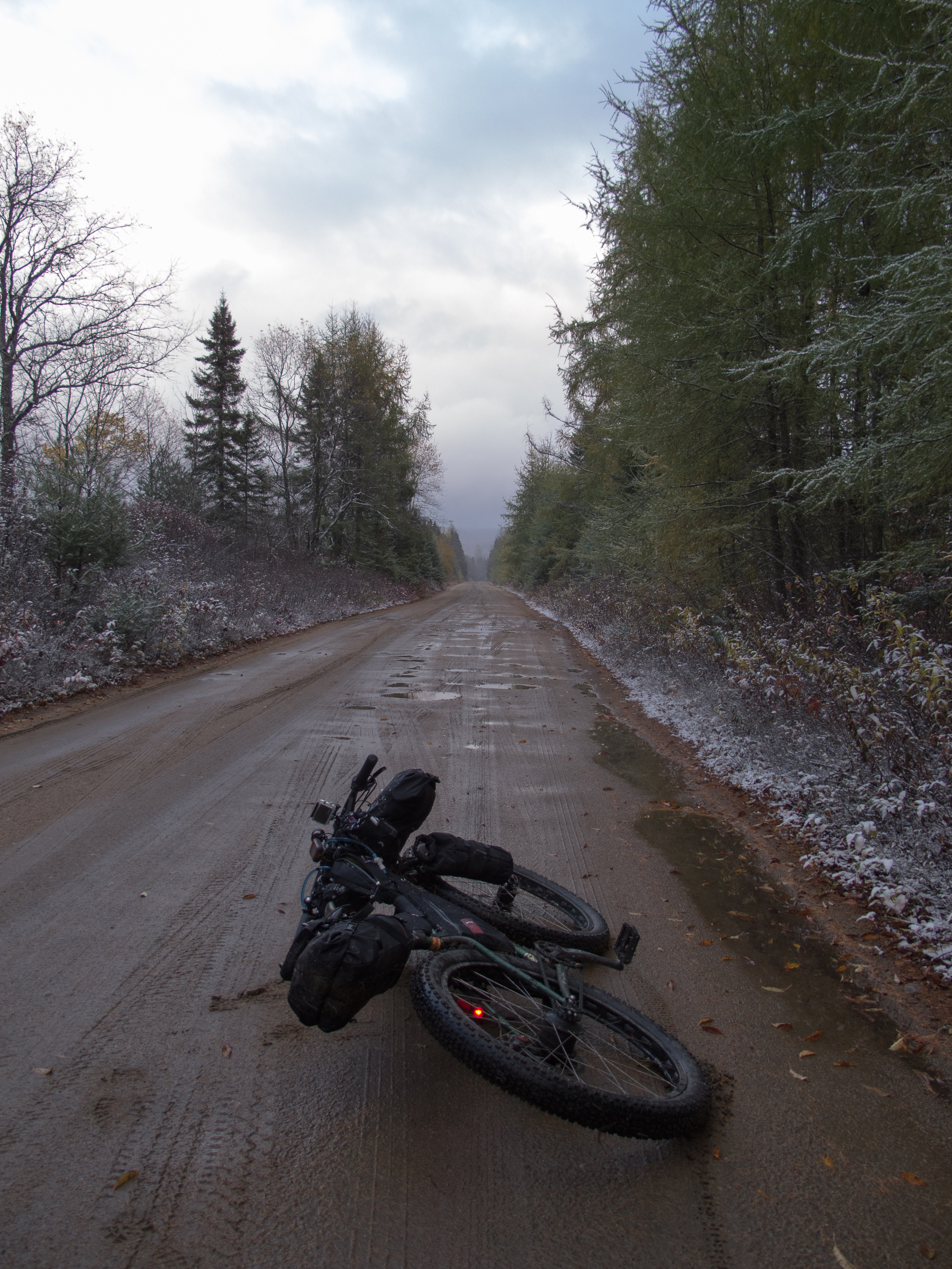
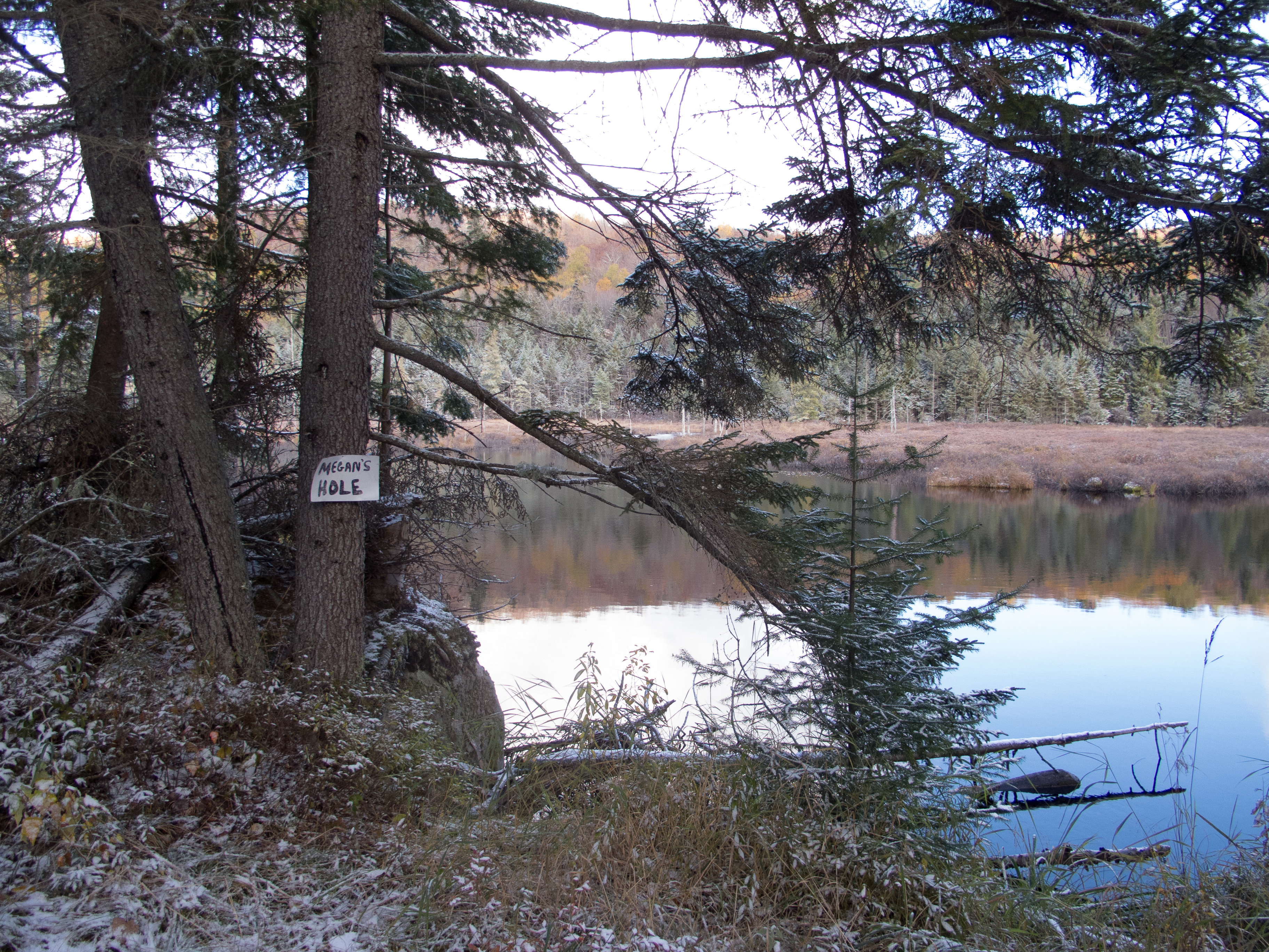
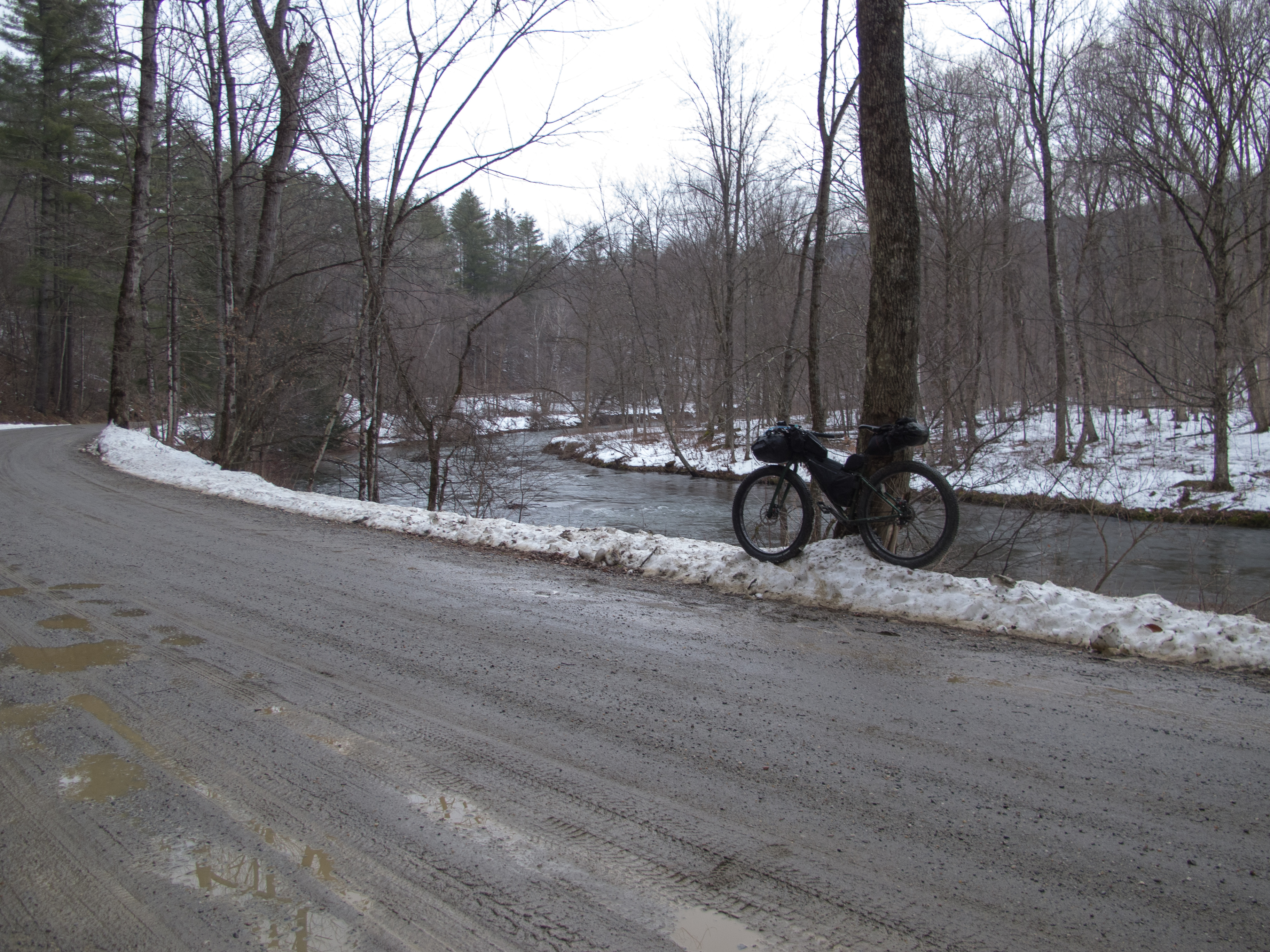
I slowly made my way towards the Wakely Dam gate, with a stop for water at ‘Megan’s Hole’ (which I doubt is its proper name…), where Cellar Brook meets Silver Run. I pulled from the running stream to the south of the road, added some chems, and was off and upward back to the highest point on the route.
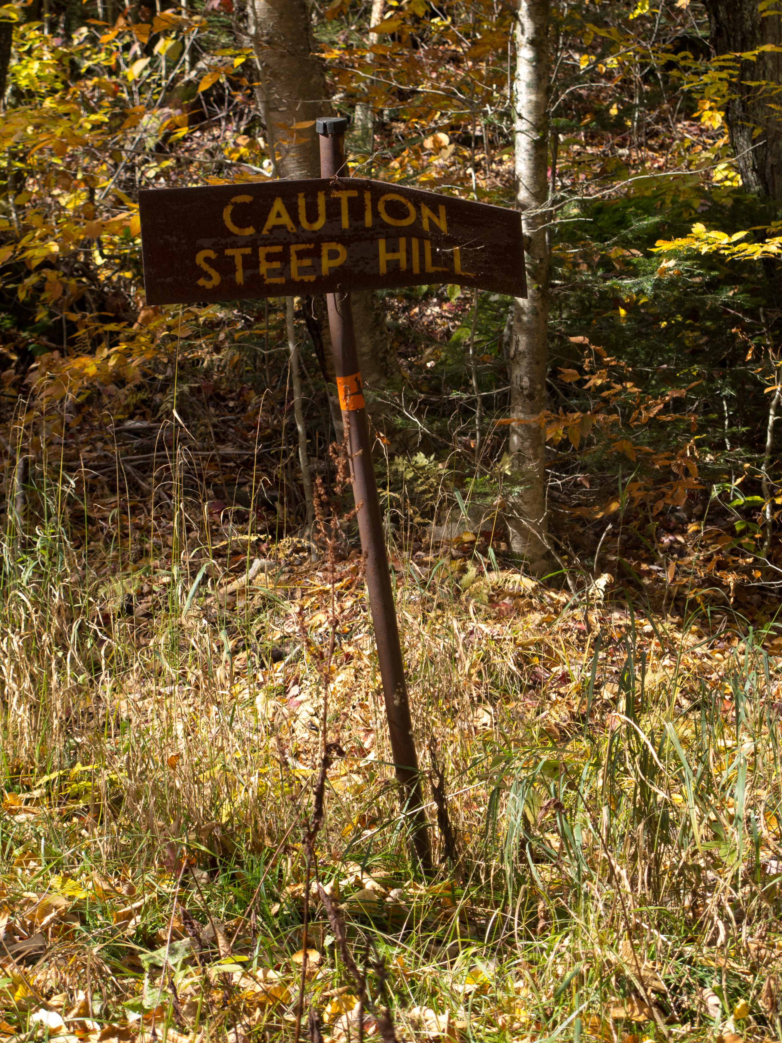
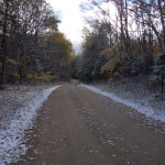
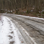
As I climbed the road got crunchier. I was really looking forward to ripping the 3.5 mile downhill to the car – but with ice / snow on the road I took it easy until the road surface improved.
I reached the gate at about 11:15am, for a sub 48 hour trip.
~95 miles total
~14 single track with over half schwacking
~28 miles pavement
the balance on the dirt road in the MRP
~8,400′ in climbing
Gear:
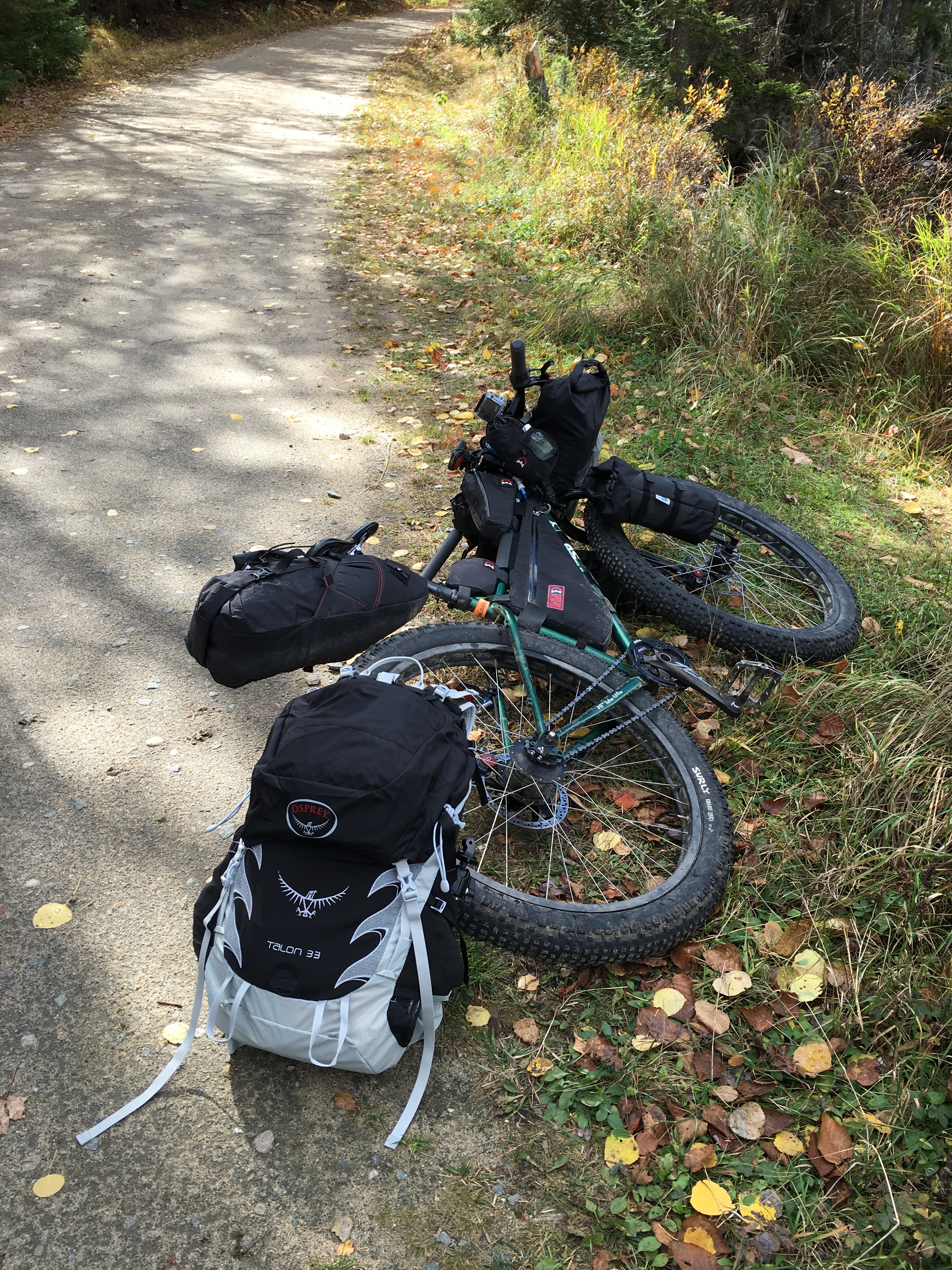
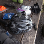
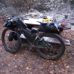
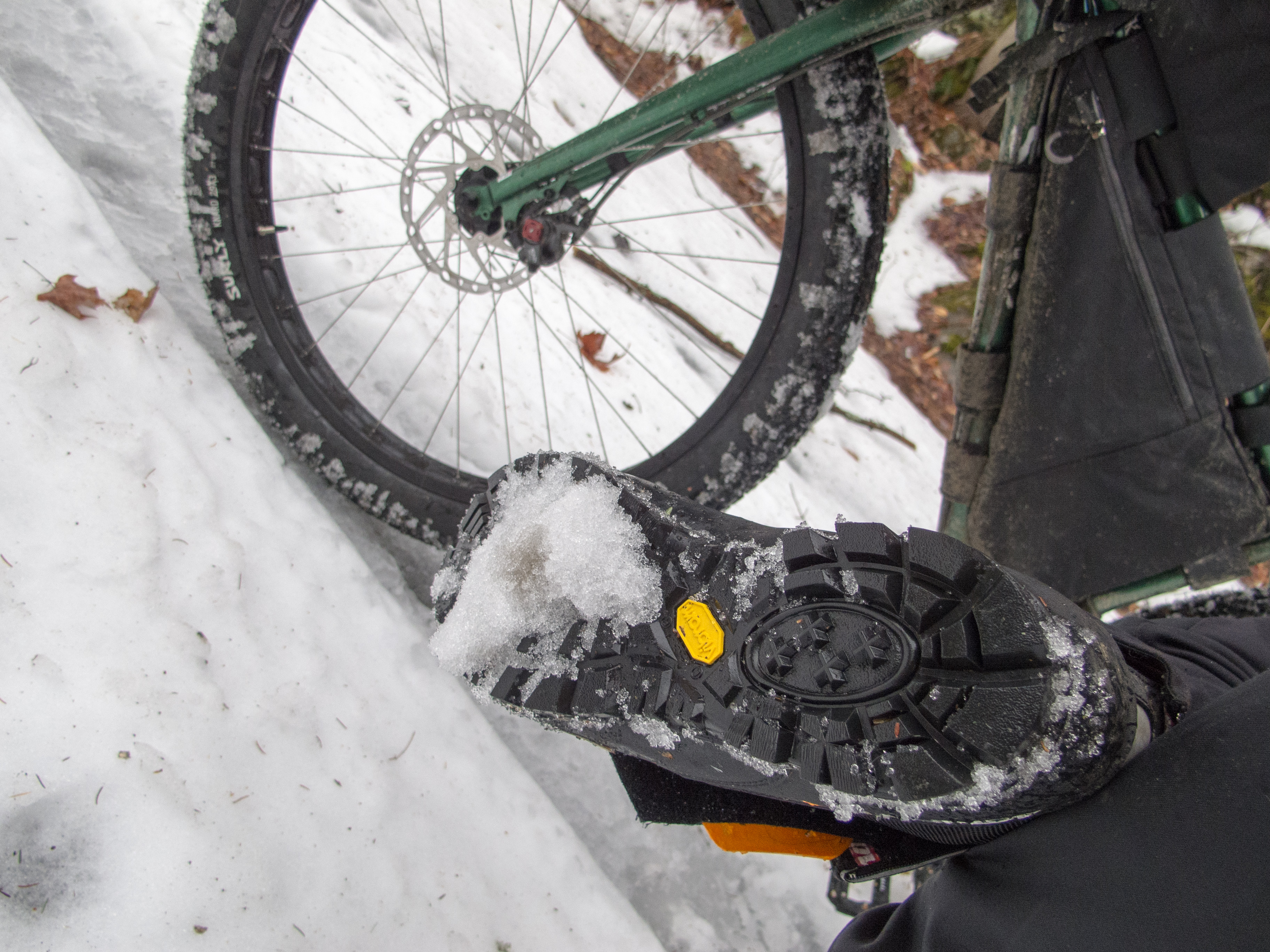
For camp I brought extra dry clothes and socks, my 0dF sleeping bag, insulated pad, and Tarptent Moment. For riding I carried 2 different types of gloves, knickers, an Ibex baselayer, my Rapha jersey, wool cap, buff, Showers Pass Crossover jacket, rain pants (never used), and I decided to wear my 45Nrth Wolvhammer boots.
I carried 3 days worth of food in case I didn’t feel like diverting into town. This included food to eat while riding, as well as 3 backpacker dinners, coffee, oatmeal for 2 breakfasts, and a camp snack for each night. Camp food was carried in my backpack – so it got lighter as the trip went on.
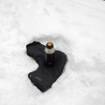
My camp kitchen is a Snow Peak Ti 750 pot, double wall mug, spork, and a Snow Peak Gigapower stove. I carried a single (new) fuel canister, fire starter, matches, and an old windscreen.
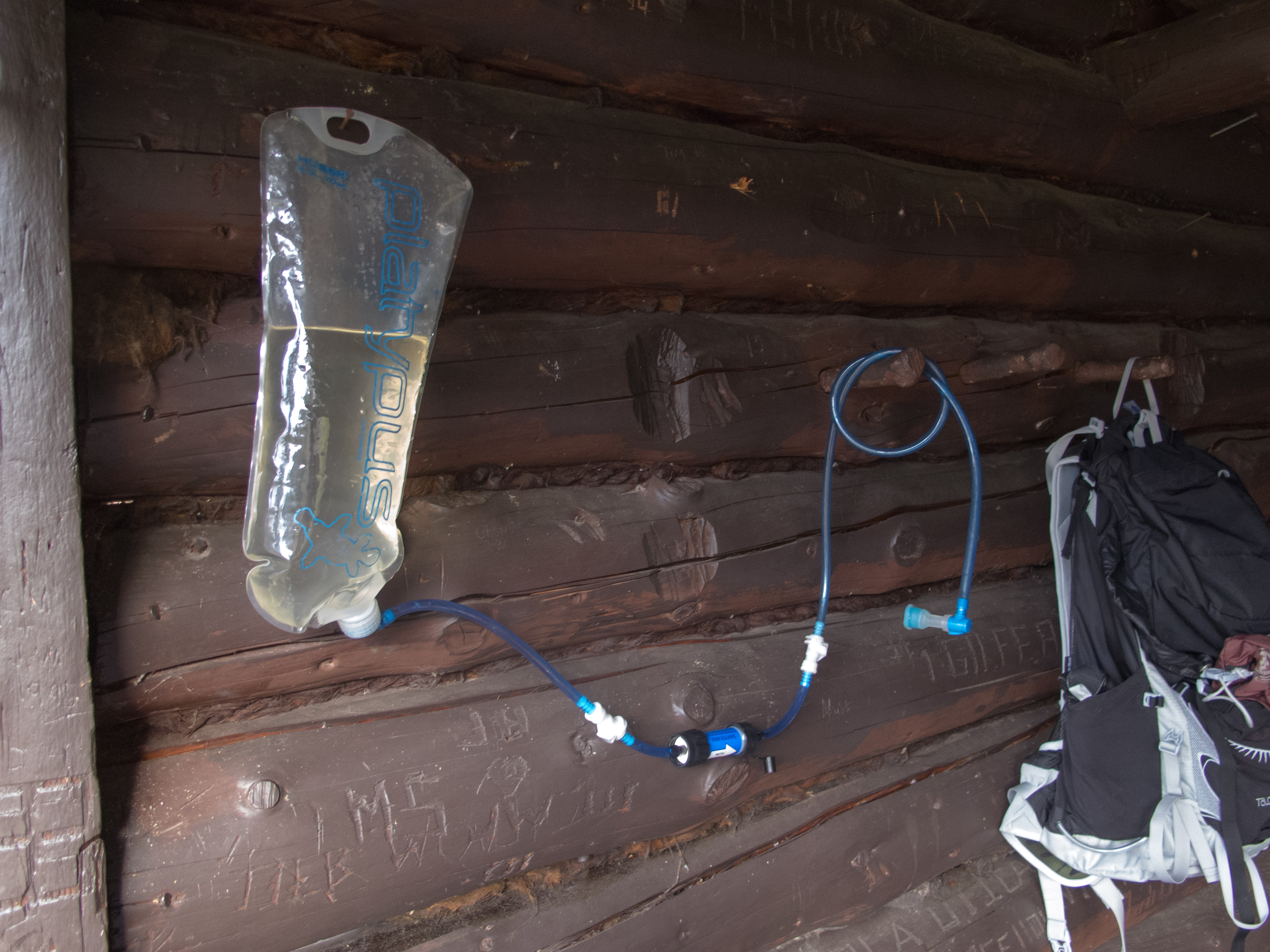
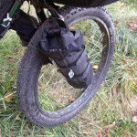
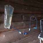
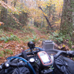
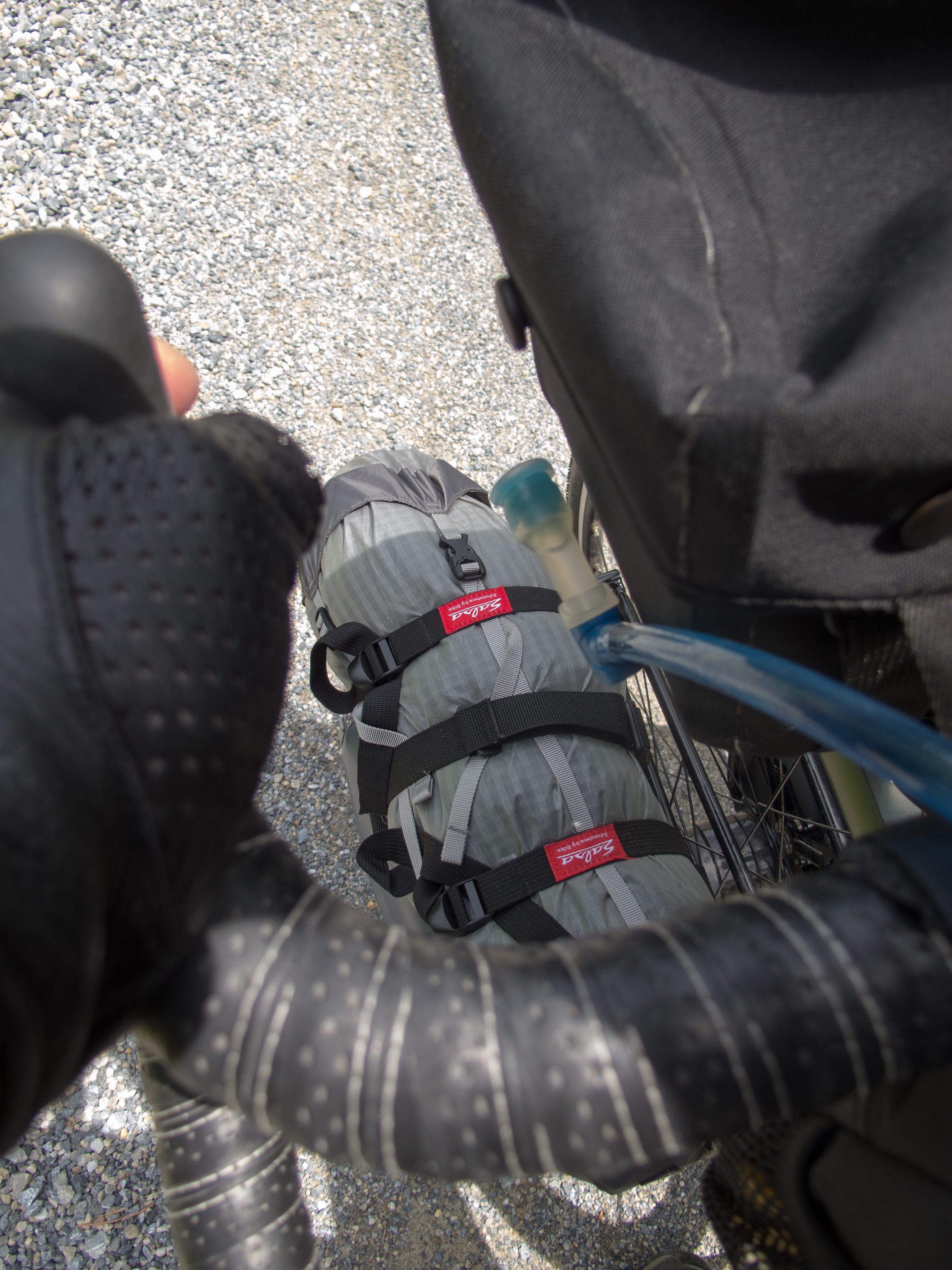
Water is carried in the frame pack in a Platypus bag, with a Sawyer Mini inline offering purification duties to a hose mounted to my bars. I have it attached with a zip cord so it returns hands free to the Jones Loop bars.
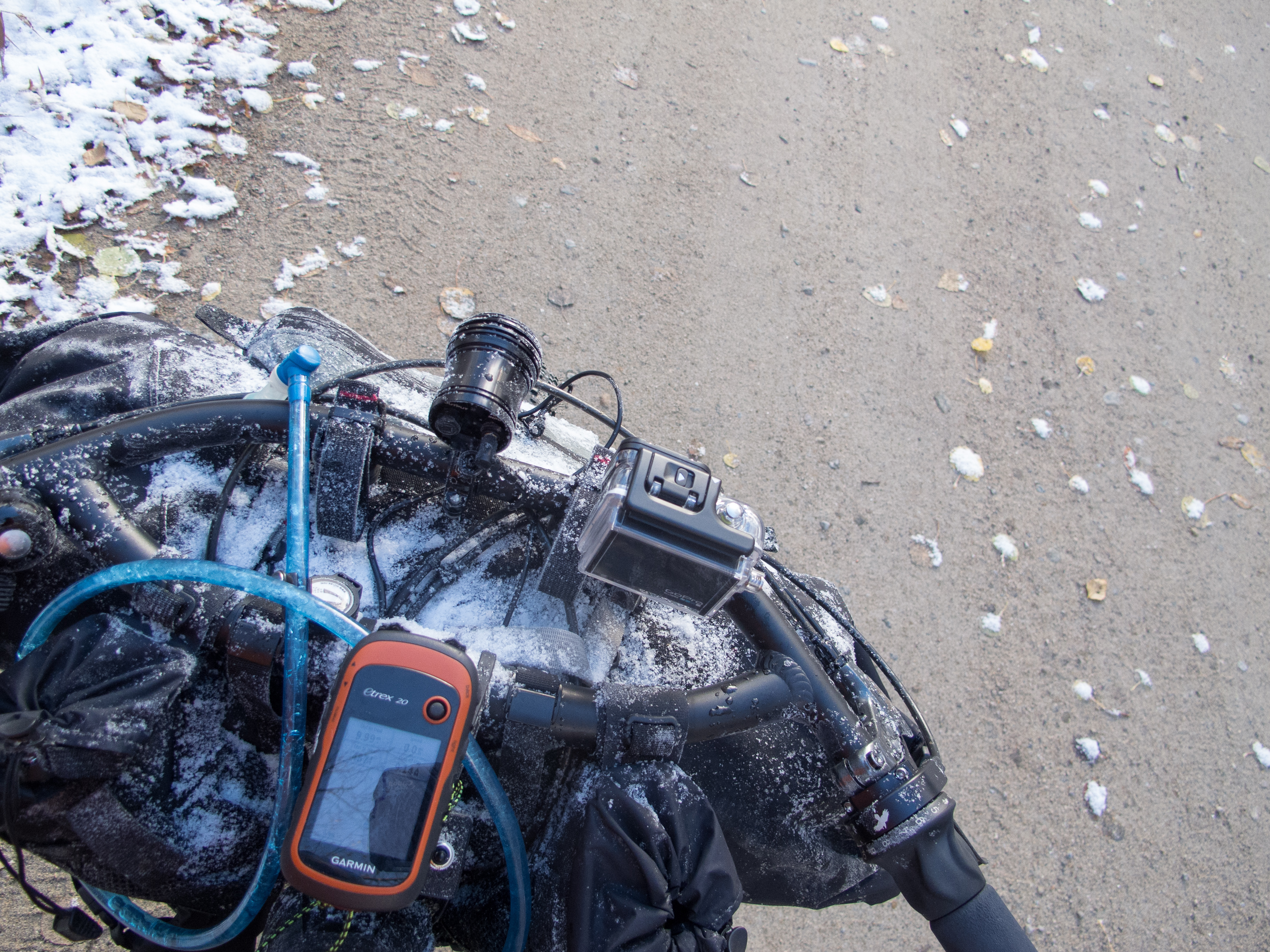
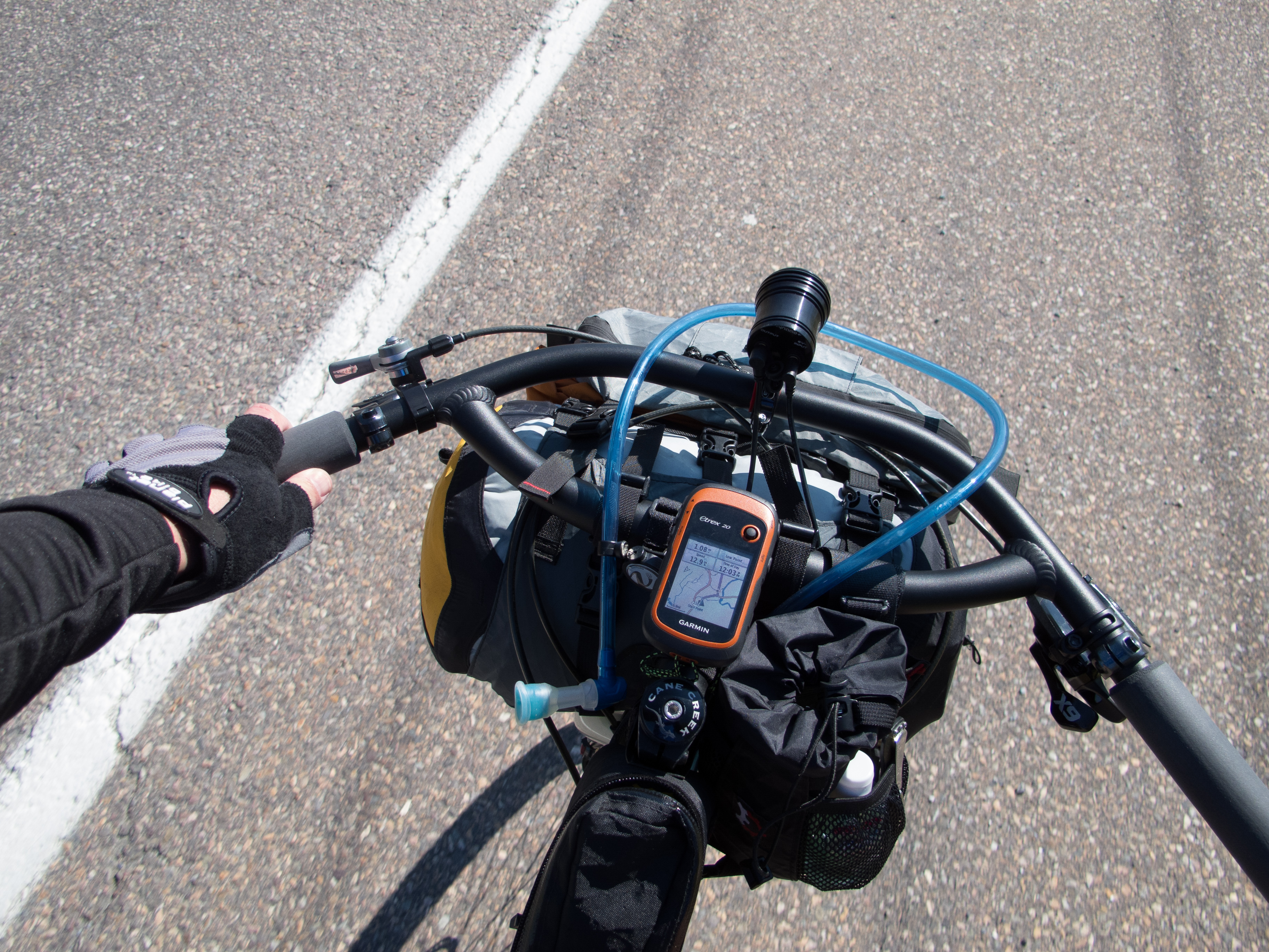
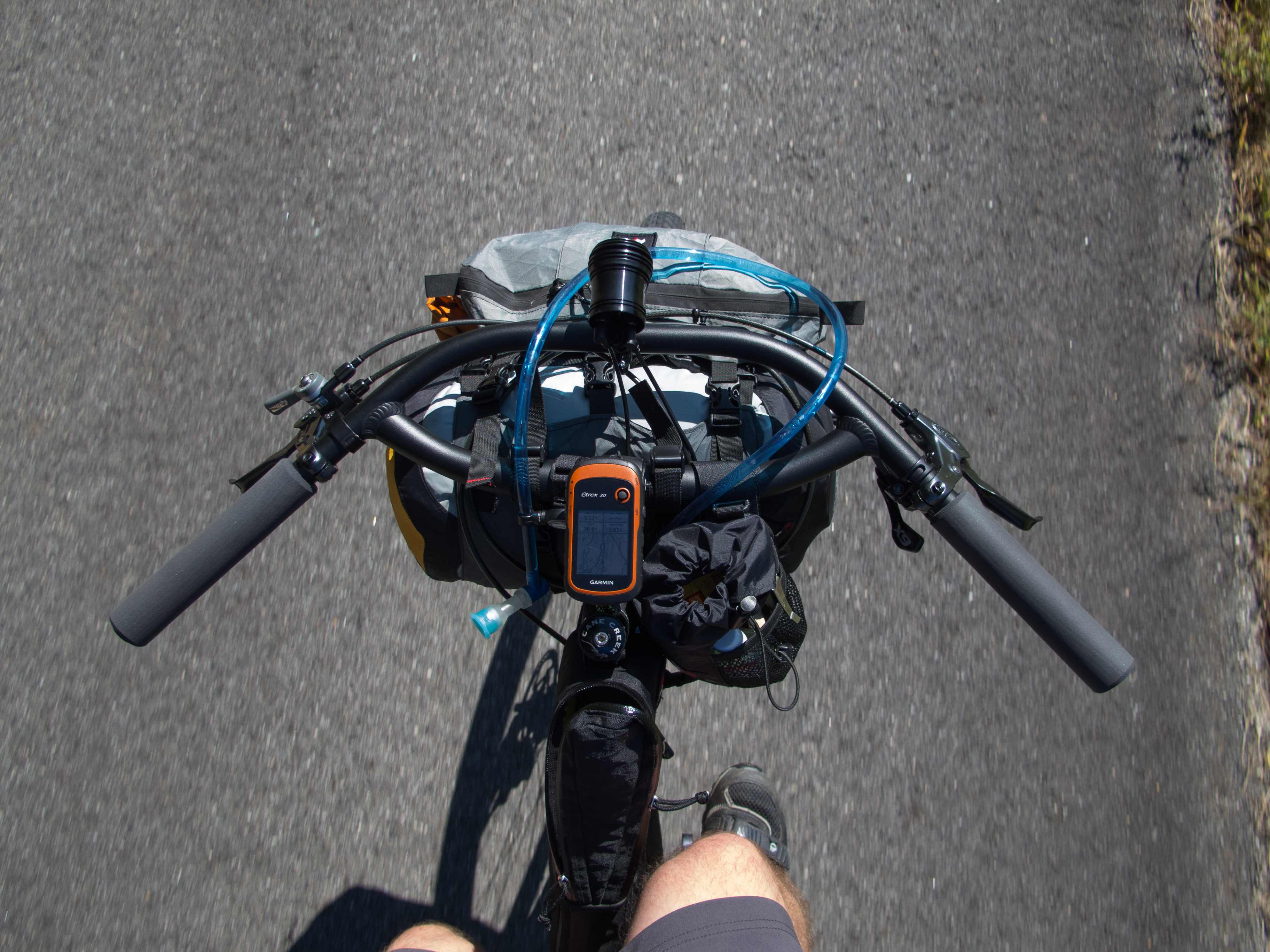
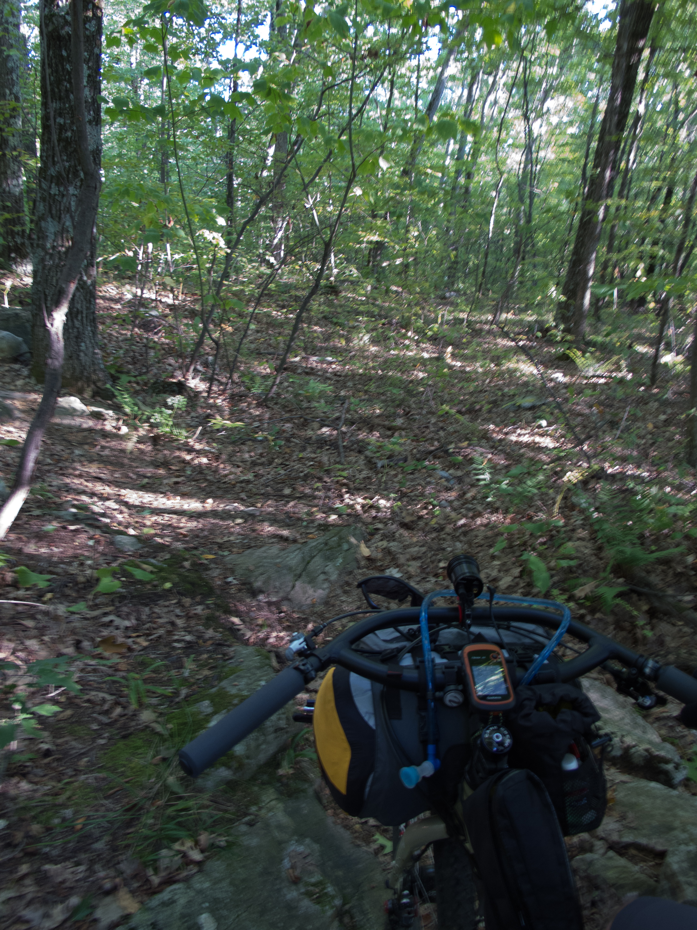
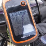
GPS is a Garmin eTrex 20. I carried a SPOT Gen3 tracker on top of my saddle bag.
With a birthday gift card from a local gear shop I added an Osprey Talon 33 pack to my quiver of backpacks. This was a huge asset on this trip, and I’m impressed with how the pack disappeared on my back, even on day 2 when I loaded it heavy with gear from the bike. It carried my food, ride clothes, bear spray, ZipShot tripod, and personal stuff (cell phone, keys, wallet, etc.). I really like how this bag carries!
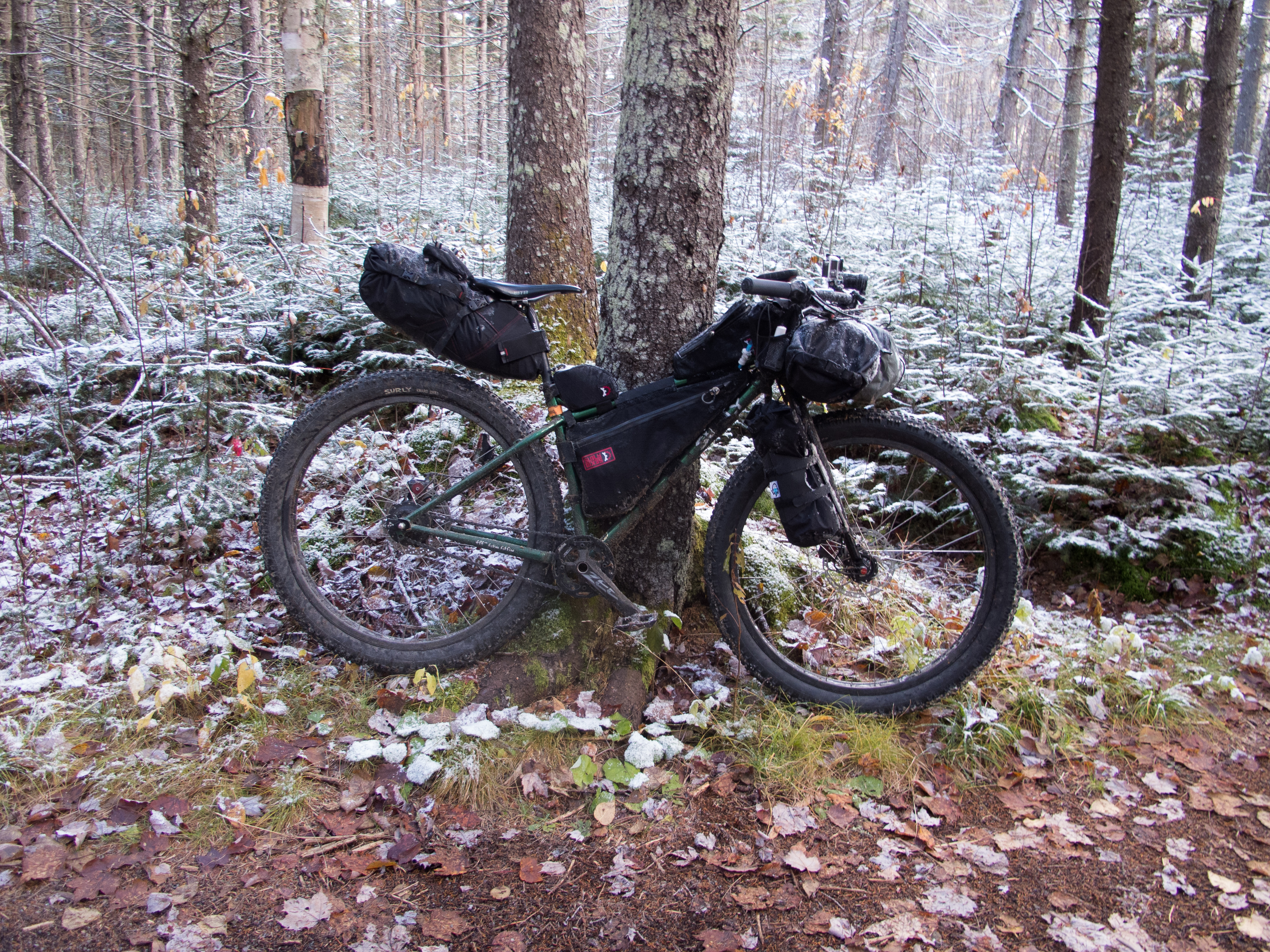
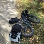
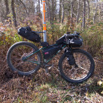
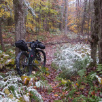
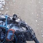
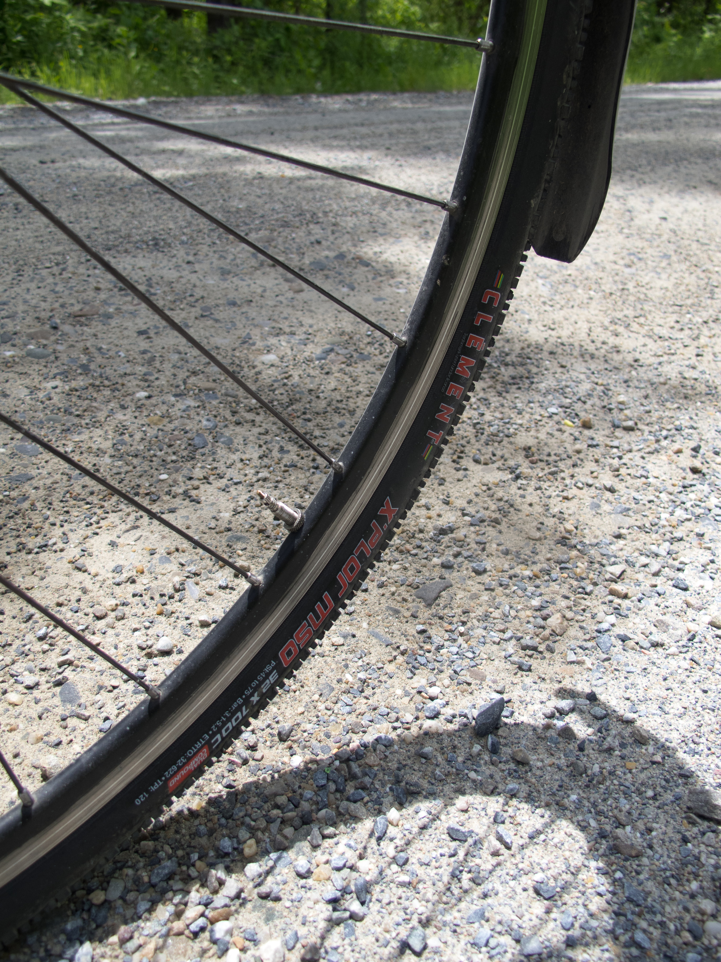
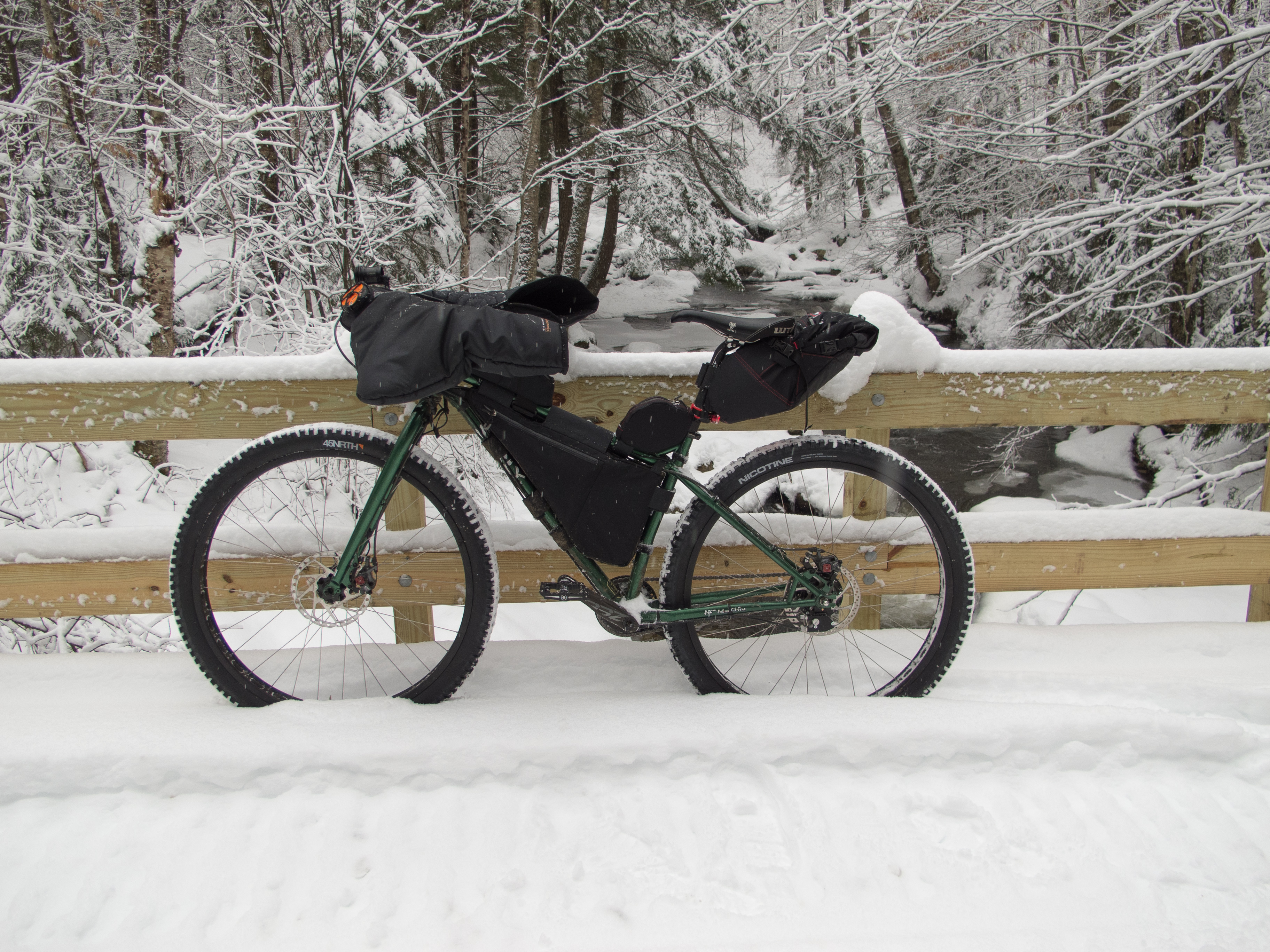
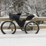
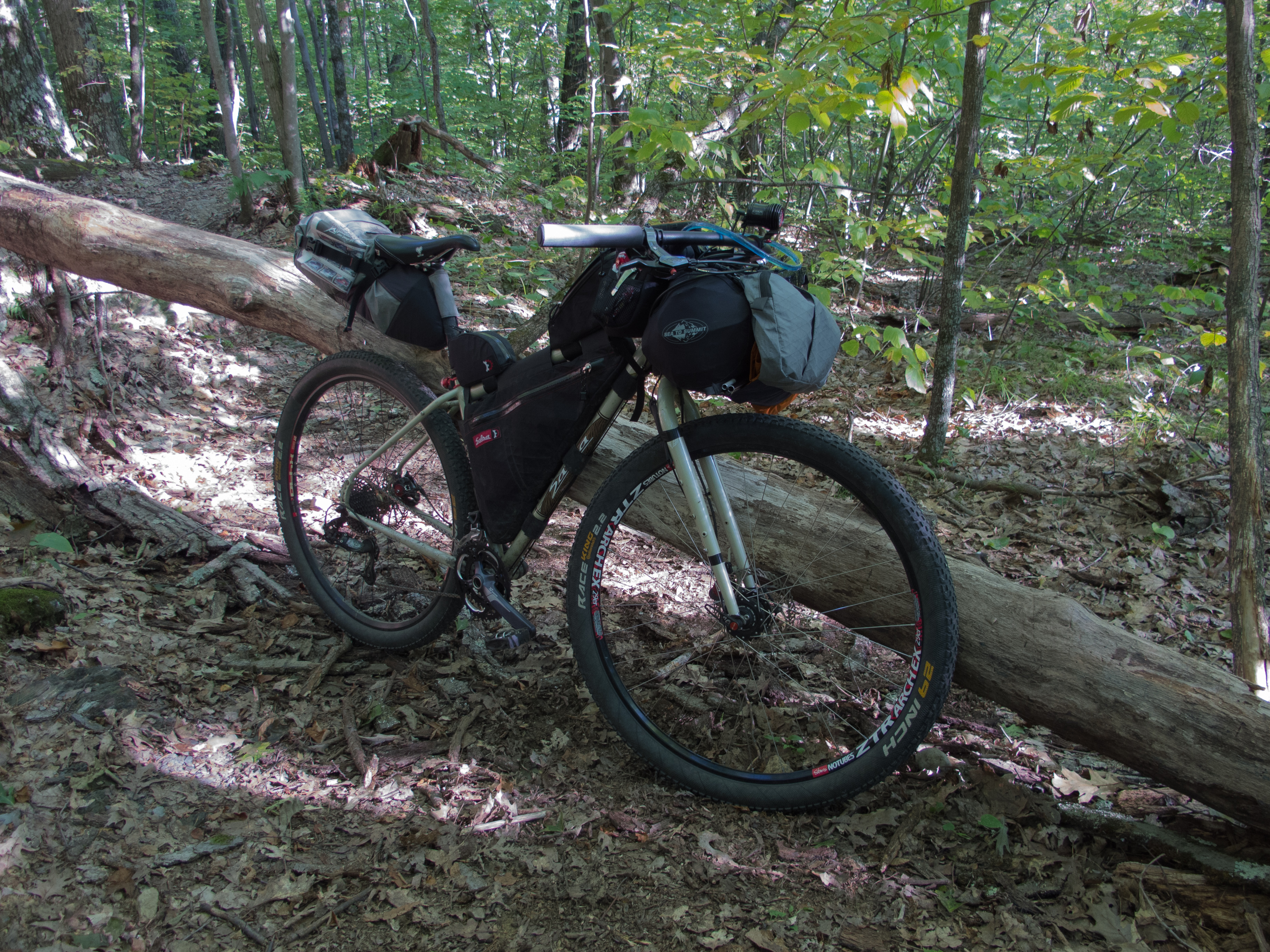
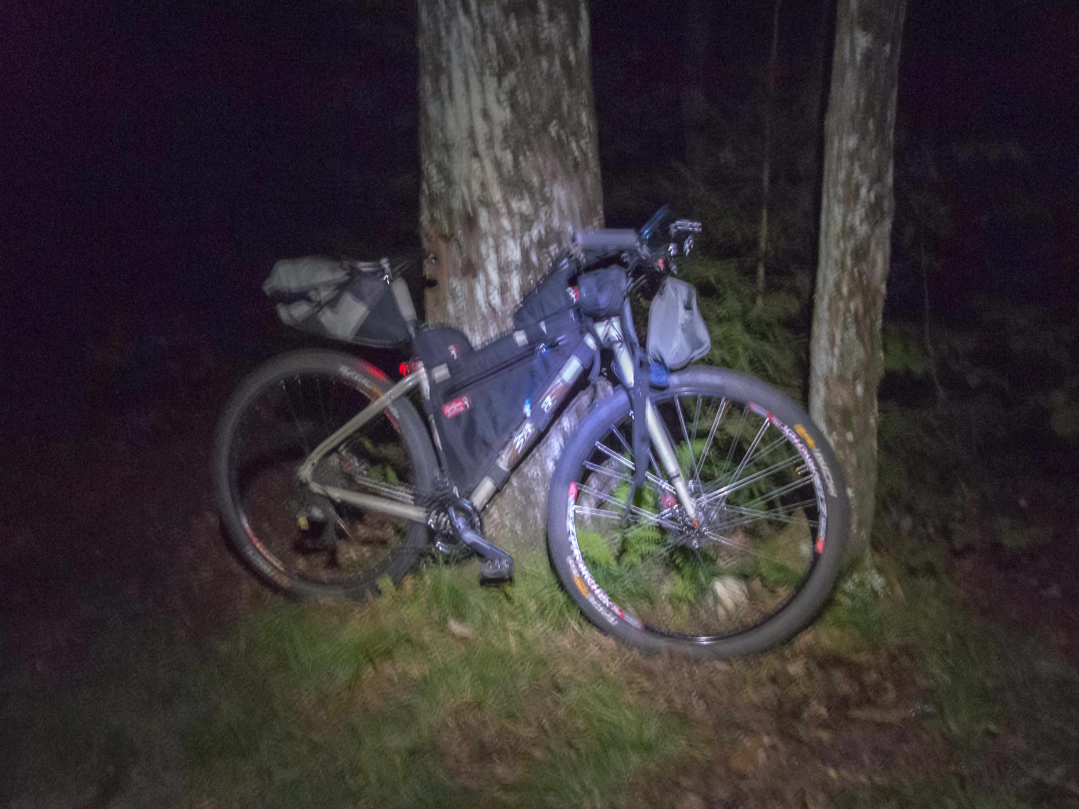
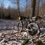
I rode my Surly Krampus. The Rohloff drivetrain performed flawlessly in the schwacking and abusive hike a bike section, as well as making the frozen morning easy to get moving without breaking a derailler. I am running the Knard 3″ tires split tube tubeless on this setup on the Rabbit Hole rims.
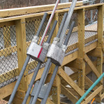
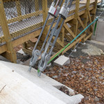
The bike is equipped with a Shimano Alfine dynohub for powering an Exposure Revo headlight, as well as powering a USBwerk for charging devices. I built a custom 3d printed switch housing which rides on my steerer tube to switch from light to charge (or off).
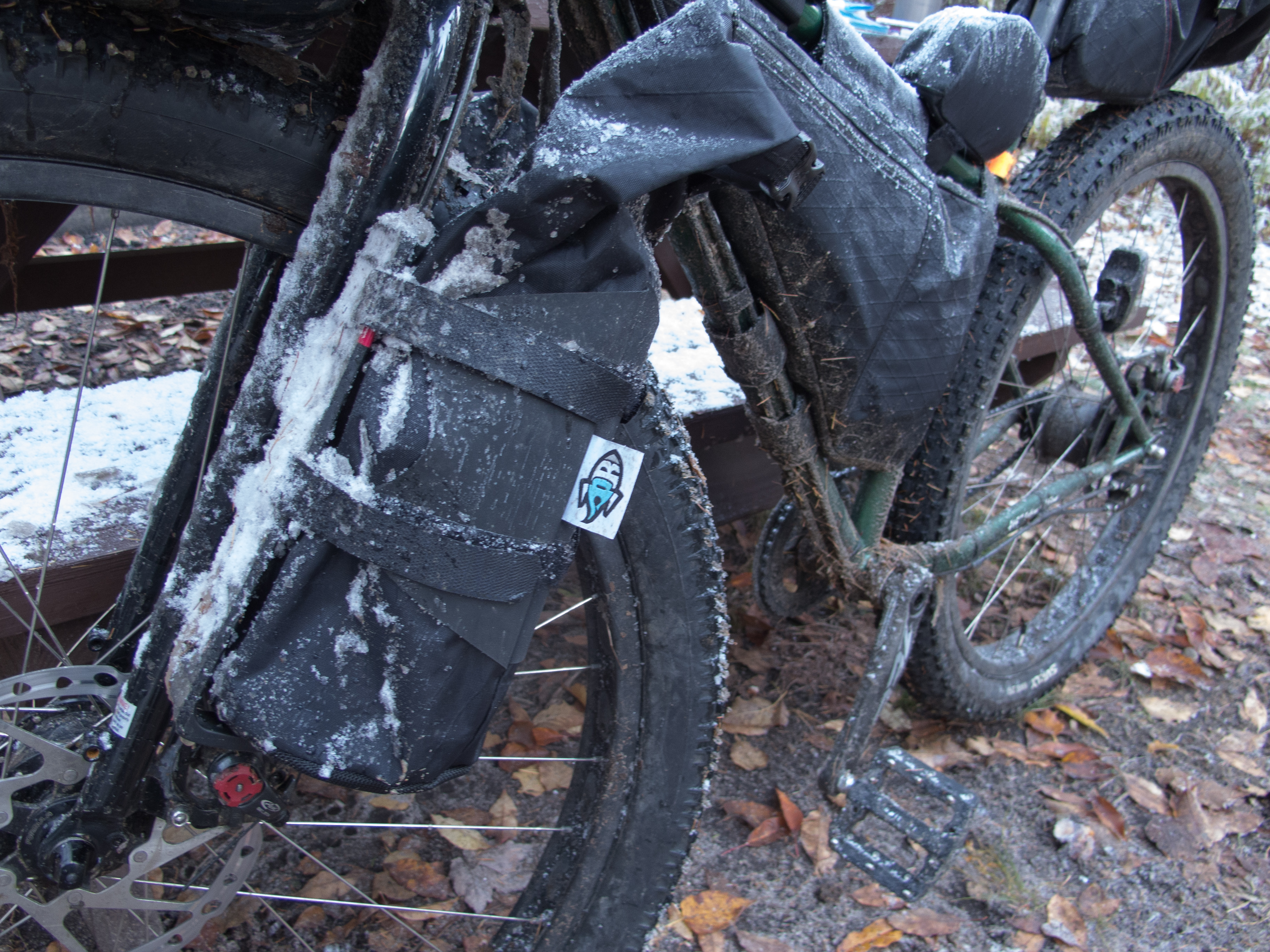
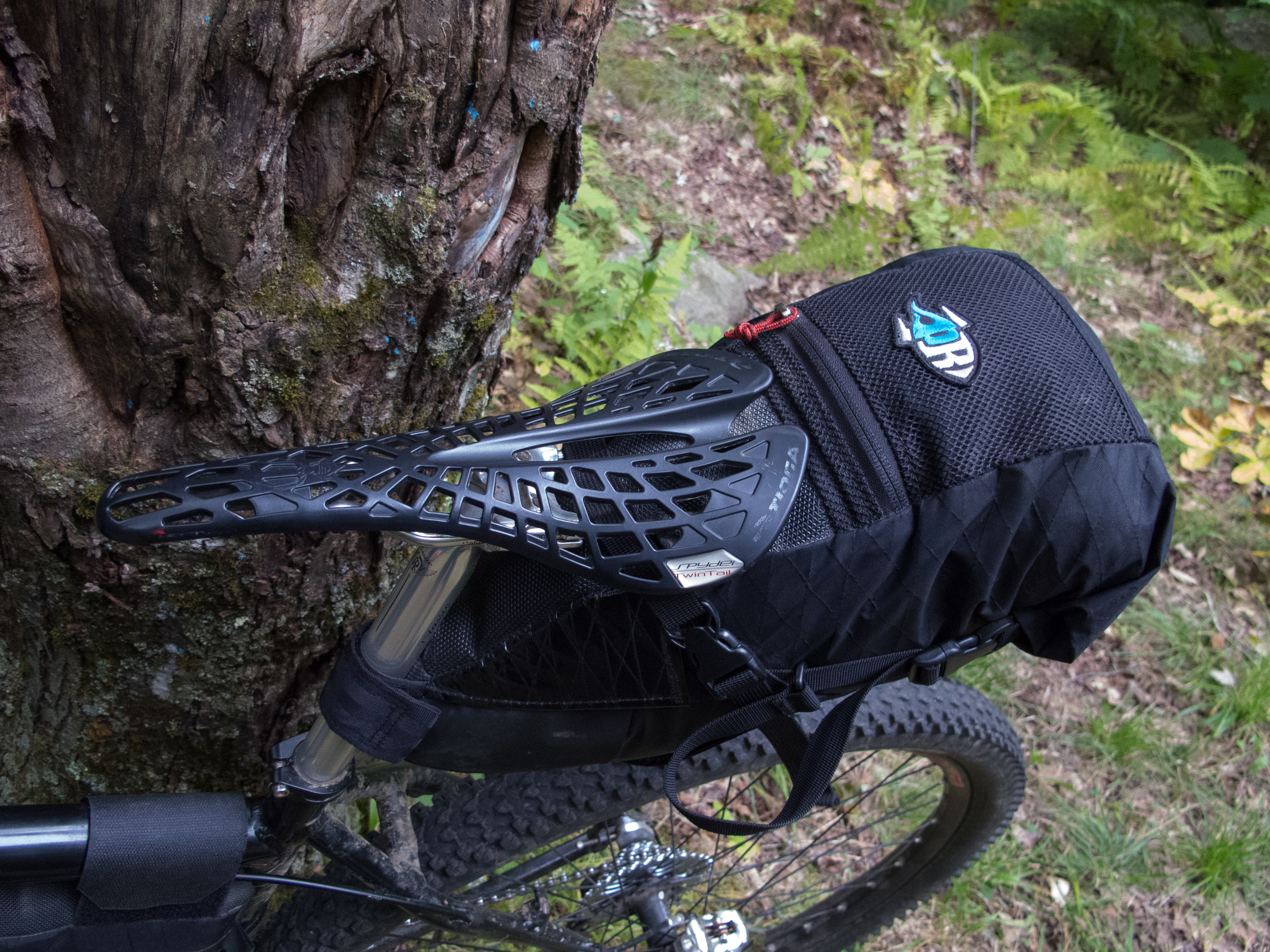
Frame, seat, and front bags are from Revelate Designs.
The bags on my fork are from Porcelain Rocket and fit the HD Anything Cages.


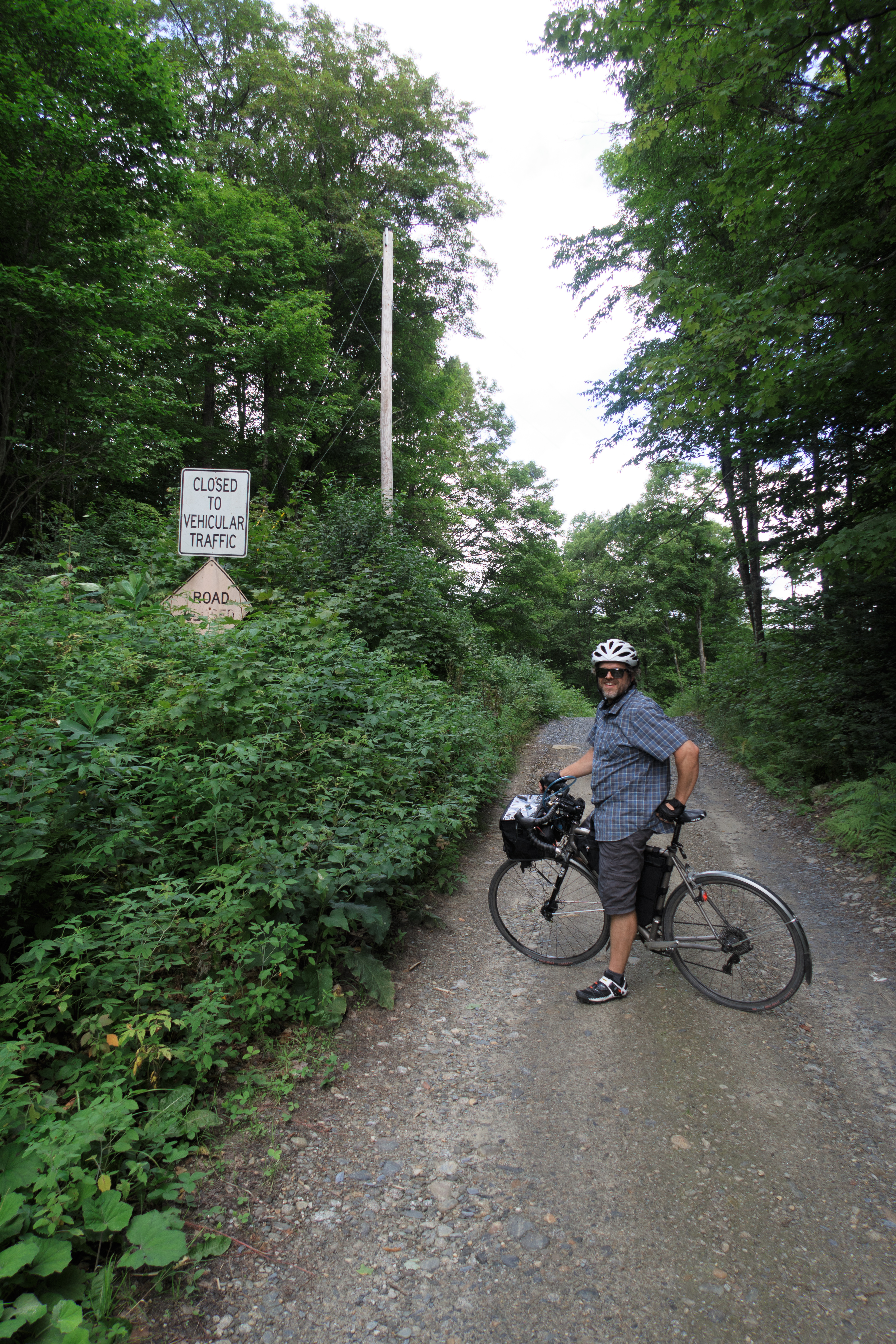
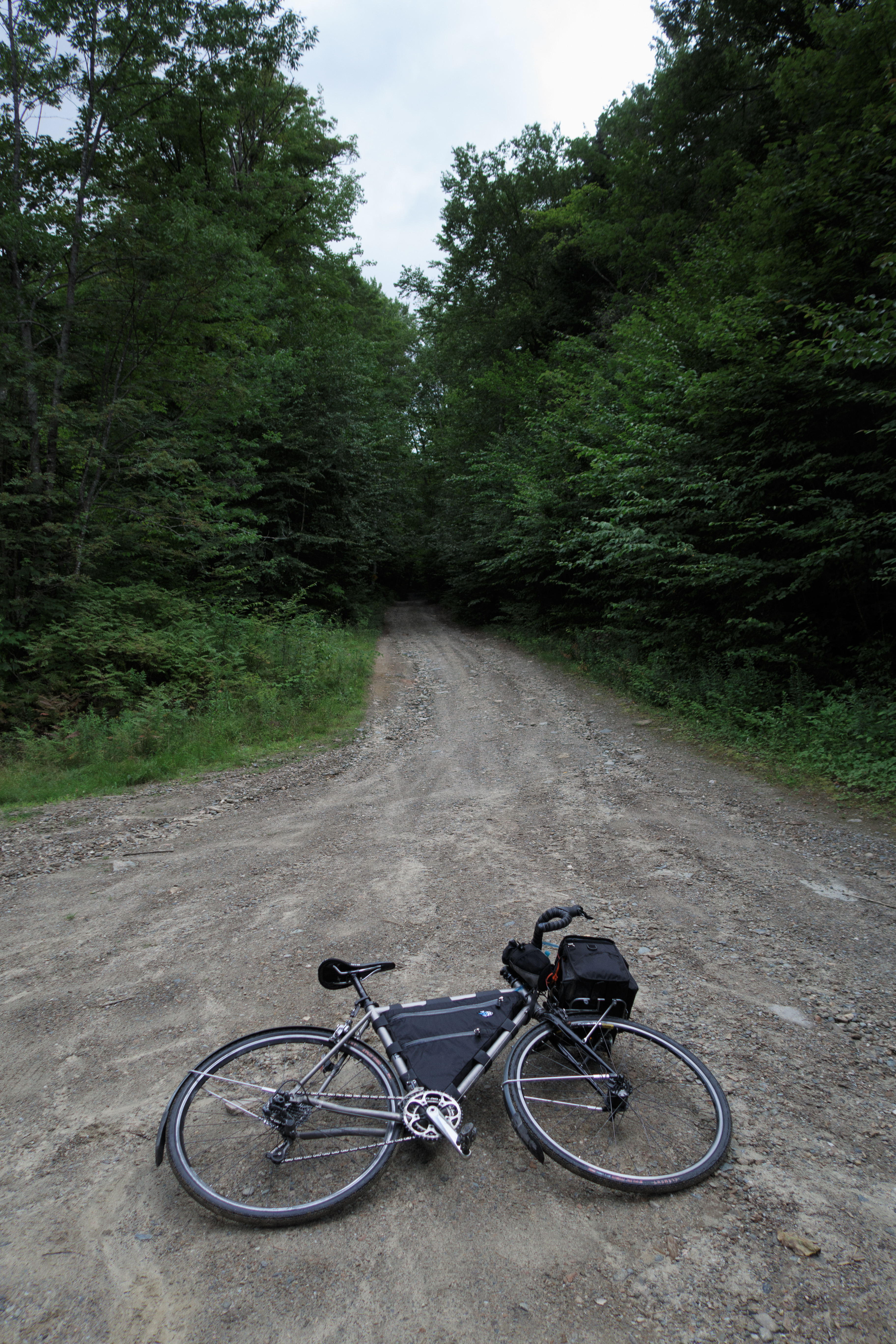
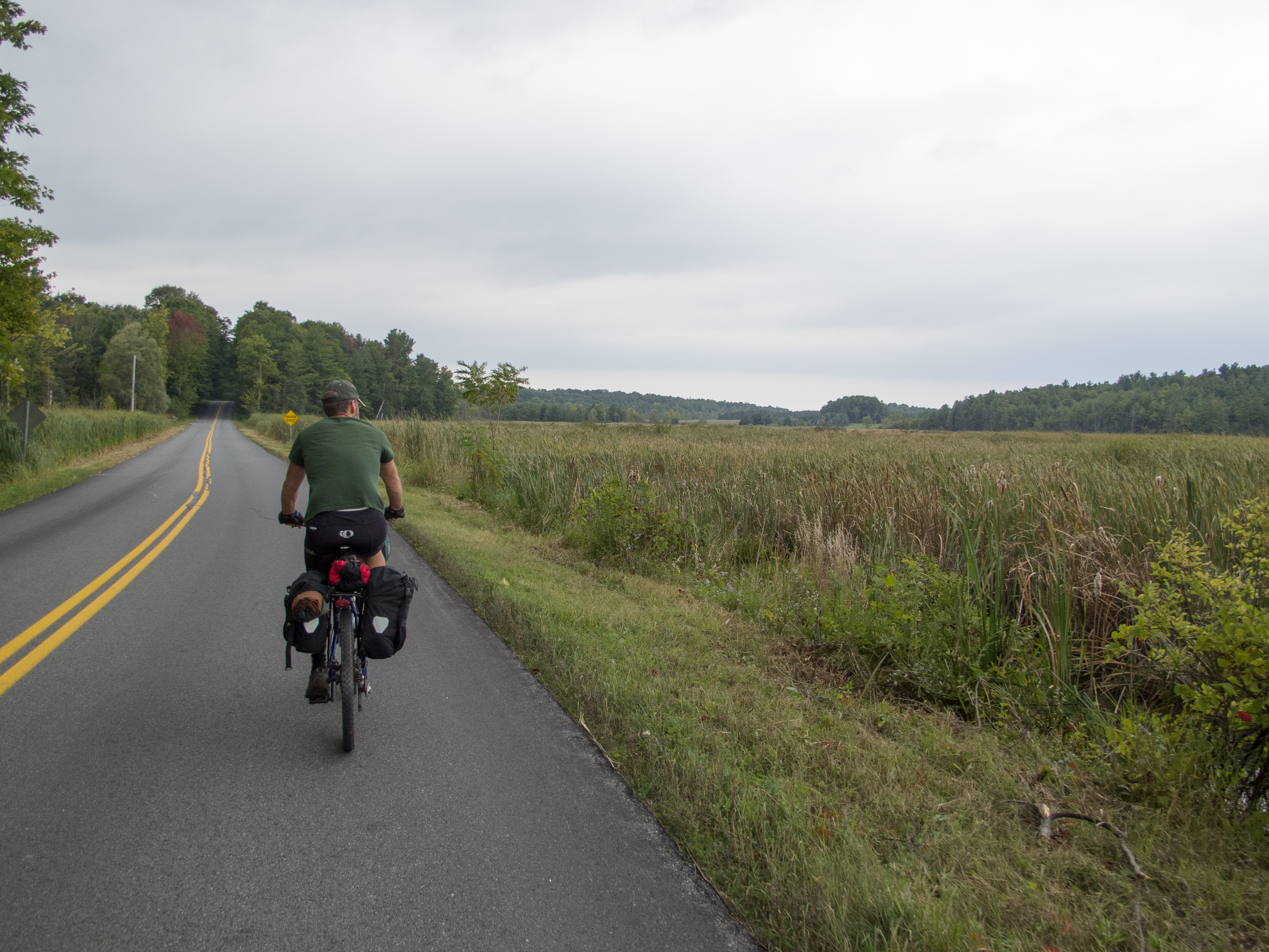
I snuck out on the IF for an overnight last weekend. Burlington to Shelburne and Charlotte on Spear, then dropping down to Vergennes and off to Middlebury on the backside route, staying to pavement most of the way down to Middlebury then up to Moosamaloo. Return route included Steam Mill and Natural Turnpike and some new (to me) dirt roads near Monkton.
I had a late lunch in Middlebury and then connected the TAM to skip some busy roads, only to find a construction detour that put me right back on Rt. 7 south out of town. In East Middlebury I hunted for a decent beer at the gas station / convenience store but nothing sounded good – so I topped off on a snack or two and water and headed up up up VT 125. The climb up 125 took forever. I was pretty cooked from the ride, and I walked the first steep pitch just out of town, pushing the bike uphill until I reached a pull off where I collected myself, hydrated, and then pushed on for camp.
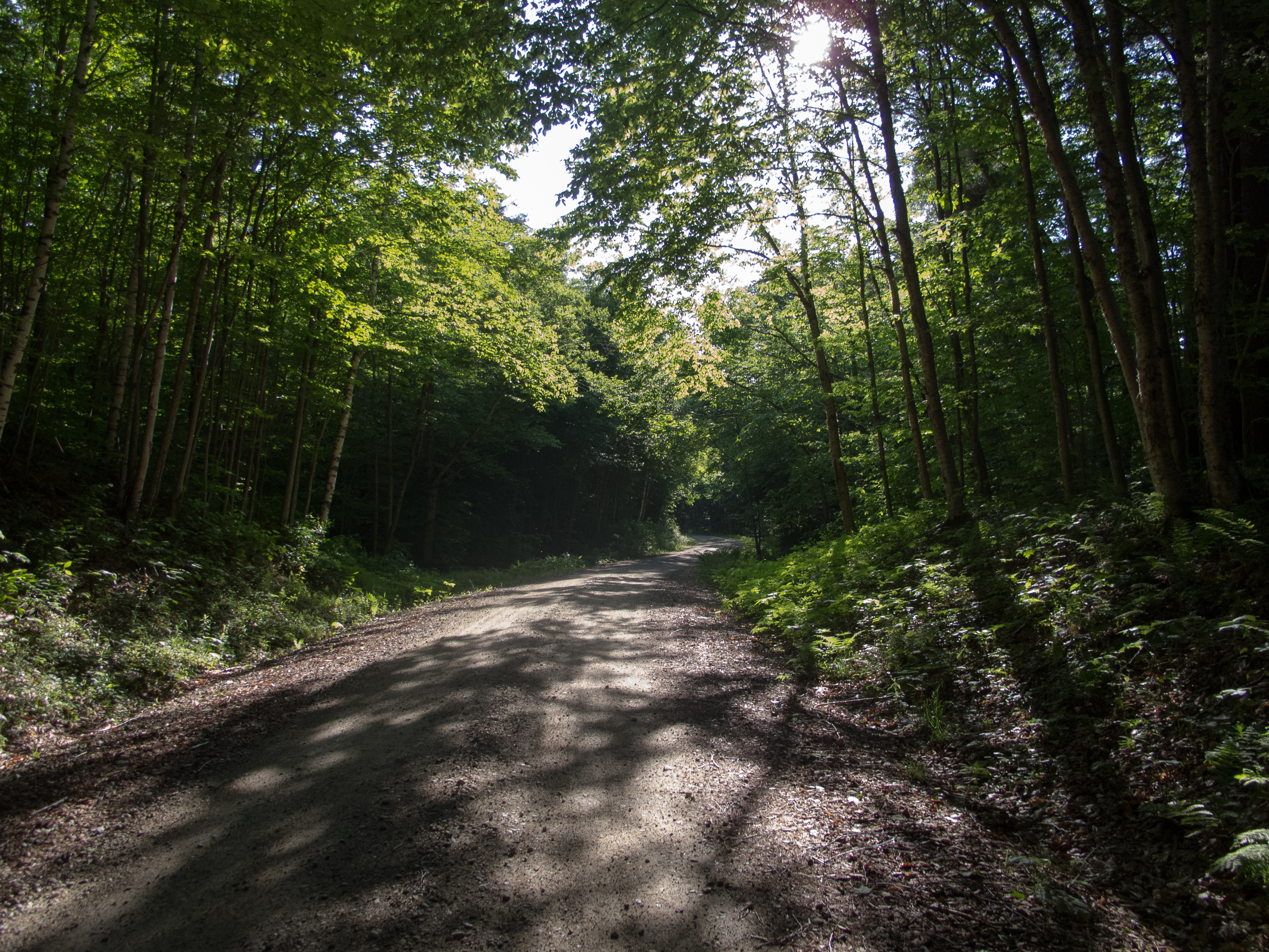
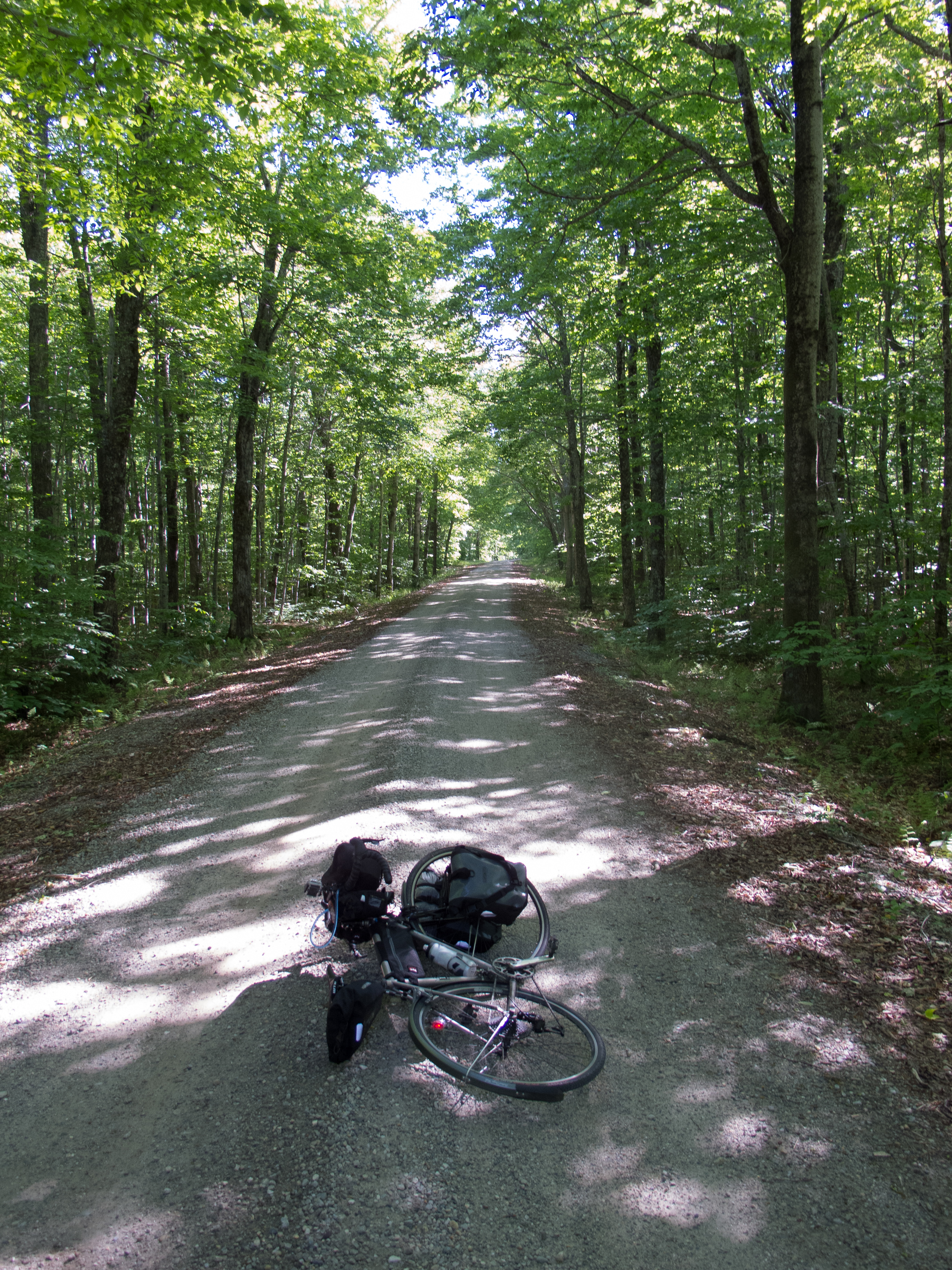
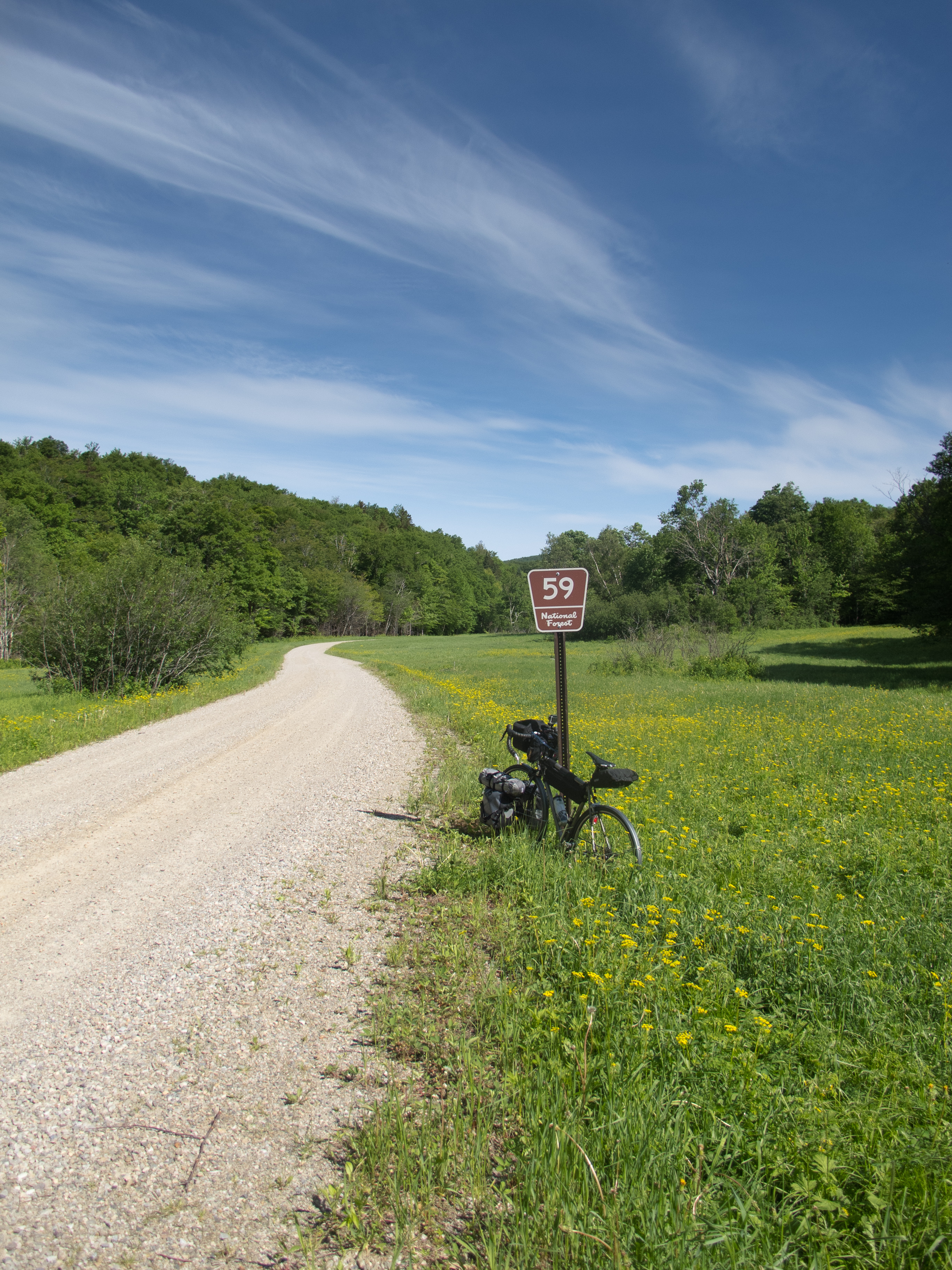
At FR32, Goshen Ripton Rd. I turned onto dirt. This was about ~52 miles into my ride, and I found myself off the bike and pushing for a stretch to give the quads and lungs a break. FR32 is one of my move favorite places to get to on a bike.
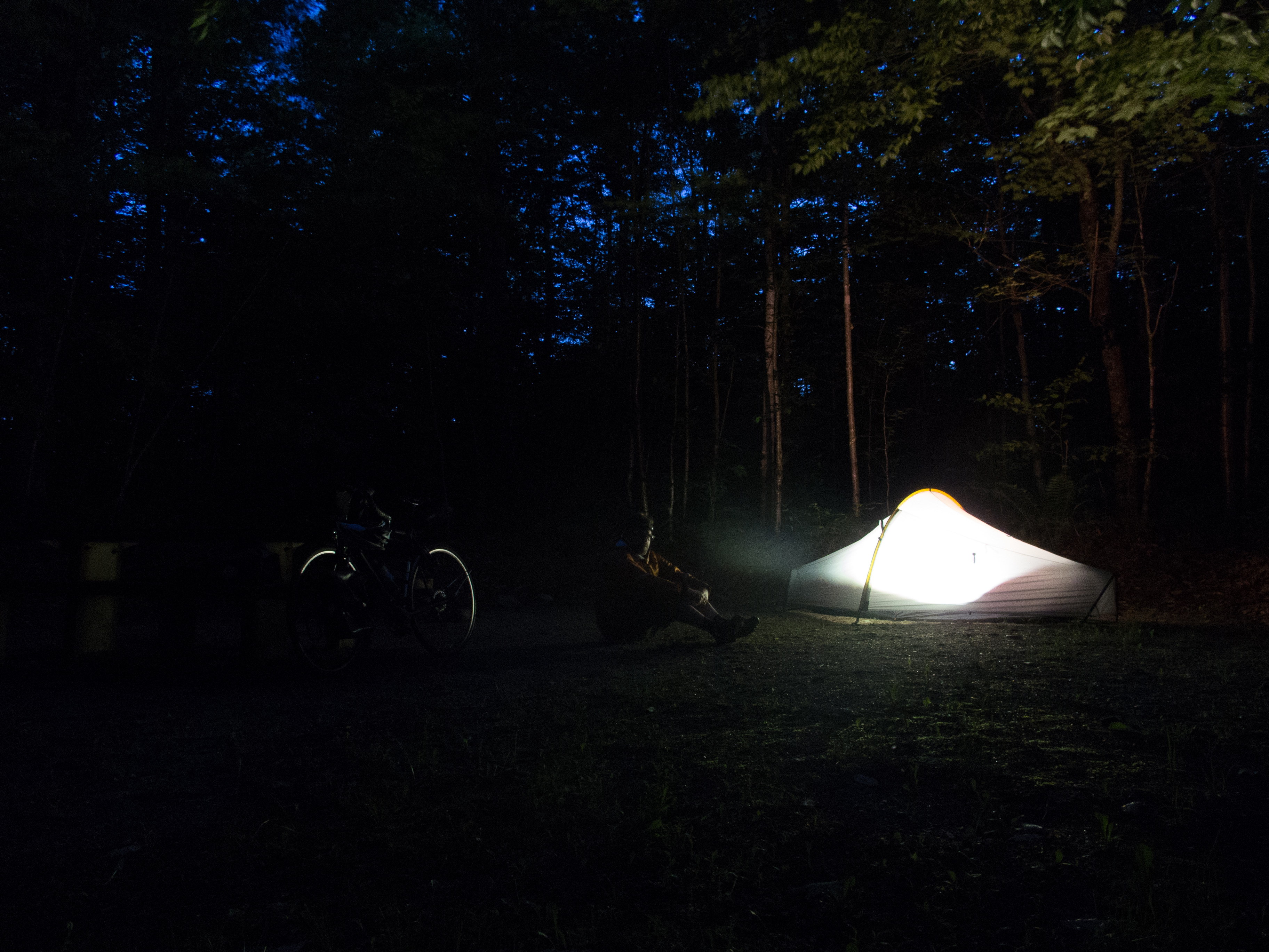
My plan was to arrive around dinner time, setup camp, then make dinner while shooting a time-lapse sunset from the Voter Brook Overlook. I pulled into the Moosamaloo Campground at about 6:30, found an open site, dropped some $$ into the deposit box, and setup my Tarptent Moment.
Tarptent Moment Setup from Mike Beganyi on Vimeo.
The Voter Brook Overlook is a 5 minute ride further down the access road. It was a bit underwhelming with regards to getting a good sunset time-lapse – but I tried out the GoPro and made dinner.
After dinner I rolled back to camp, did some bike and gear adjustments, bear bagged my food and kitchen, and planned to turn in for the night. After I played with the long exposure settings on my Canon G12.
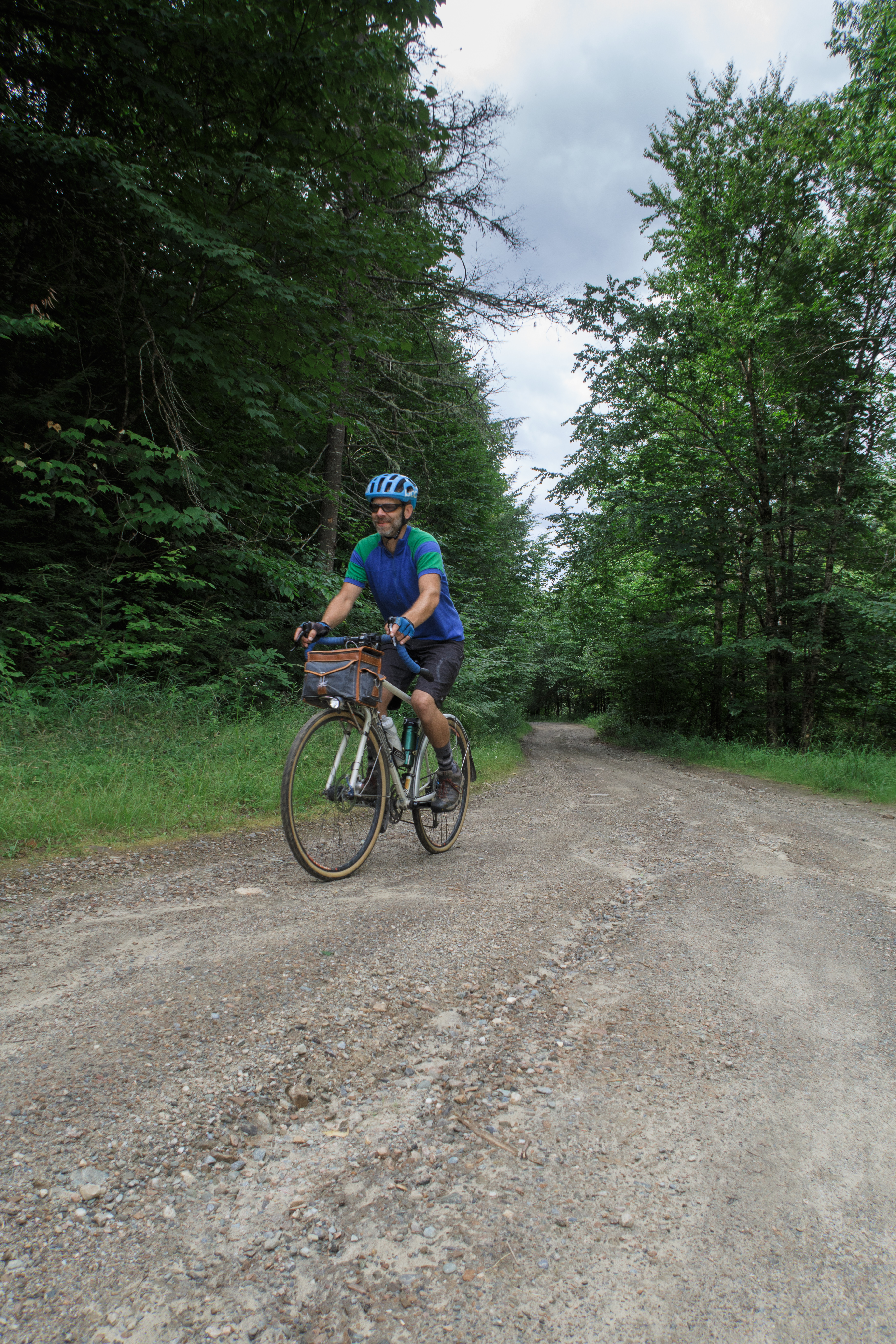
Morning found me up early, with the other campers still sound asleep. I made breakfast and broke camp, and headed for Steam Mill and Natural turnpike, 2 of my other favorite places to be in VT on a bicycle. Both of these roads are up up up… so I started the day with a good deal of climbing.
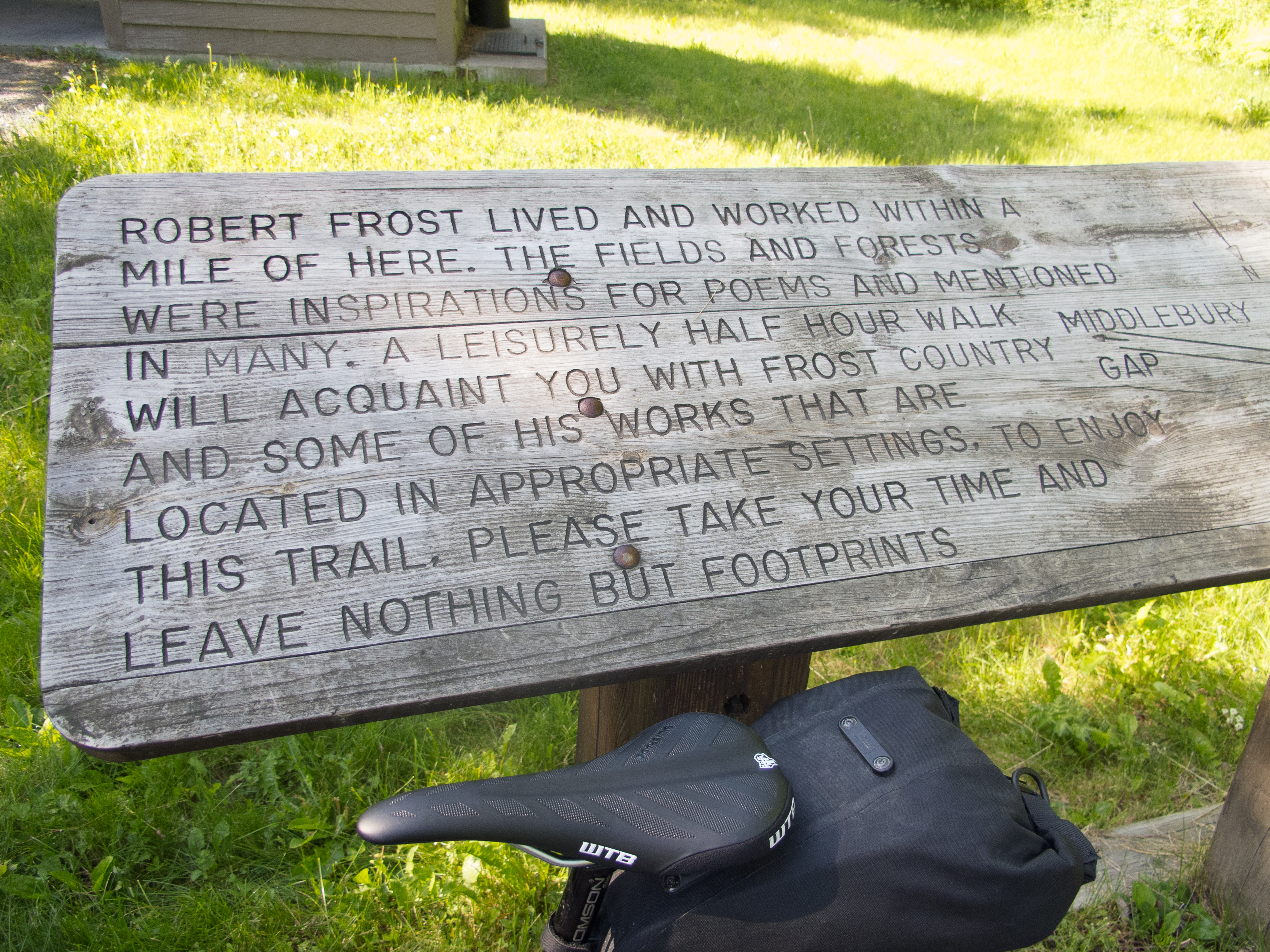
I stopped at the Robert Frost trail to adjust some clothing, and take advantage of the restrooms at the trailhead, from there I found Steam Mill Rd.
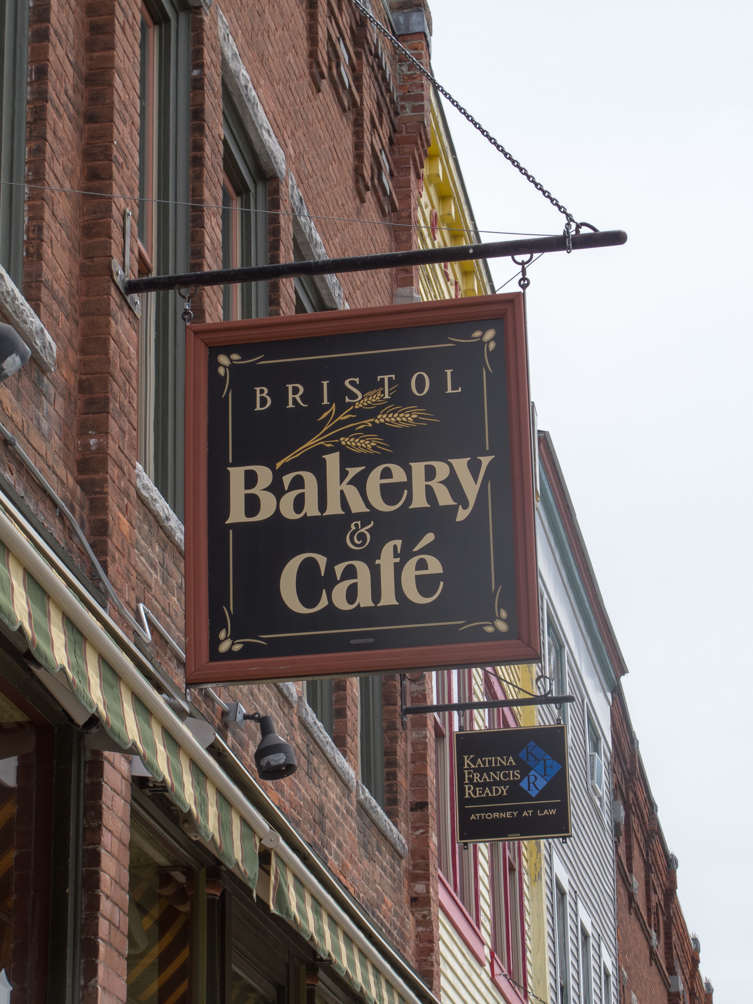
From high up on the Natural Turnpike I dropped into Lincoln, then Bristol for an early lunch / second breakfast at the Bristol Cafe and Bakery. A large group of GMBC cyclists congregated while I was enjoying my food. They were on a Sunday ‘touring’ ride. I chatted with a few before they left, then rolled out myself for home.
I picked a few new roads on the run back from Bristol… and the route pretty much did me in. I struggled from Monkton to home, but the roads I did choose are sure to be additions to future routes… especially if I route them to be downhill. Piney Woods Rd. is a lovely lane and a half (at most) of dirt… and it is steep as it follows the creek. Plank Rd., North Rd., Parks-Hurburt Rd. and Old Stage Rd. are also nice alternative routes (dirt) for going north / south and connecting into Bristol from Chittenden County.
From Monkton I followed familiar roads back into town, struggling with the heat, and feeling a bit dehydrated. I returned home about 30 hours after I left.
Day 1
~62 miles
~5926′ climbing
Pavement with a bit of dirt and trail
Day 2
~57 miles
~6220′ climbing
Dirt with pavement
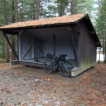
Quick, solo, sub 24 hour (S24O) bikepacking trip to Little River State Park. Dirt roads, a bit of pavement, and the park access road on day 1, then the access road and pavement on day 2.
Dinner, small fire, and a night in the woods.
Rain, muddy roads, soaking wet, cold, muddy.
Smiling from ear to ear.
~42 miles – ~6 were pushing the bike up and down the access road.
Started out on a dirt road ride (frozen, snow and ice covered) and decided to check out the access road to Silver Lake, from FR 32 in GMNF. The road in had recent truck tracks on it, and when I got to the gate the snowmobile groomer had been out – so I wandered down to the dam.
I brought the wrong bike for winter trail riding – the Nicotines with 2.35″ tires just don’t float well on semi-packed snow. I washed out the front once on the way down to the lake, and had to walk the last 1/4 mile to the dam due to the churned up snomo trail.
I enjoyed some coffee and the rest of my breakfast bagel, then started back out (and up!).
It was too much work keeping the bike on track and upright on the way out of the lake – so I pushed until I got to the turn in the access road. There is a VAST trail (snowmobile) that connects back to FR 32… so I decided to follow it. I was able to ride downhill to the bridge over Dutton Brook, but the trail was far too steep for riding climbing back out. Atop the ravine – just where the trail flattened out and I thought I could ride again – I had some sleds pass me (politely). The sleds churned up the trail, so I ended up walking about 3 miles to the road intersection, pushing the bike.

Beautiful, but tiring. When we get more snow the fat tired Pugsley will make the trip… lots to explore in Moosamaloo, even in winter…


Fall is here, and with it a change in daylight. I’ve been riding early – in the dark. The Krampus has been getting a thorough workout – bike path, road, single and double track. I have an 8-12 mile loop I can ride, 3 good (short but steep) climbs, can mix in rocky technical riding, and can get a good workout before the kids get up. Today included some trail work – I’ve been climbing over a 4″ tree all week – today I remembered the saw and trimmed it out of the trail.

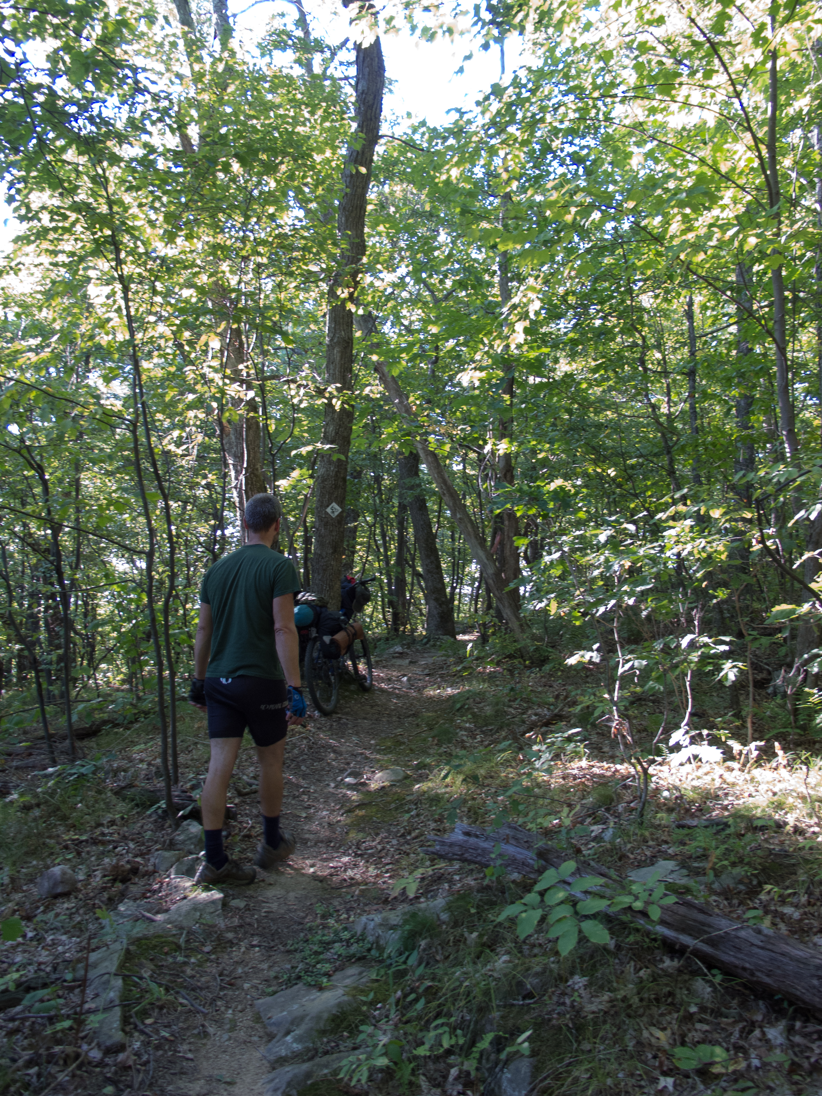
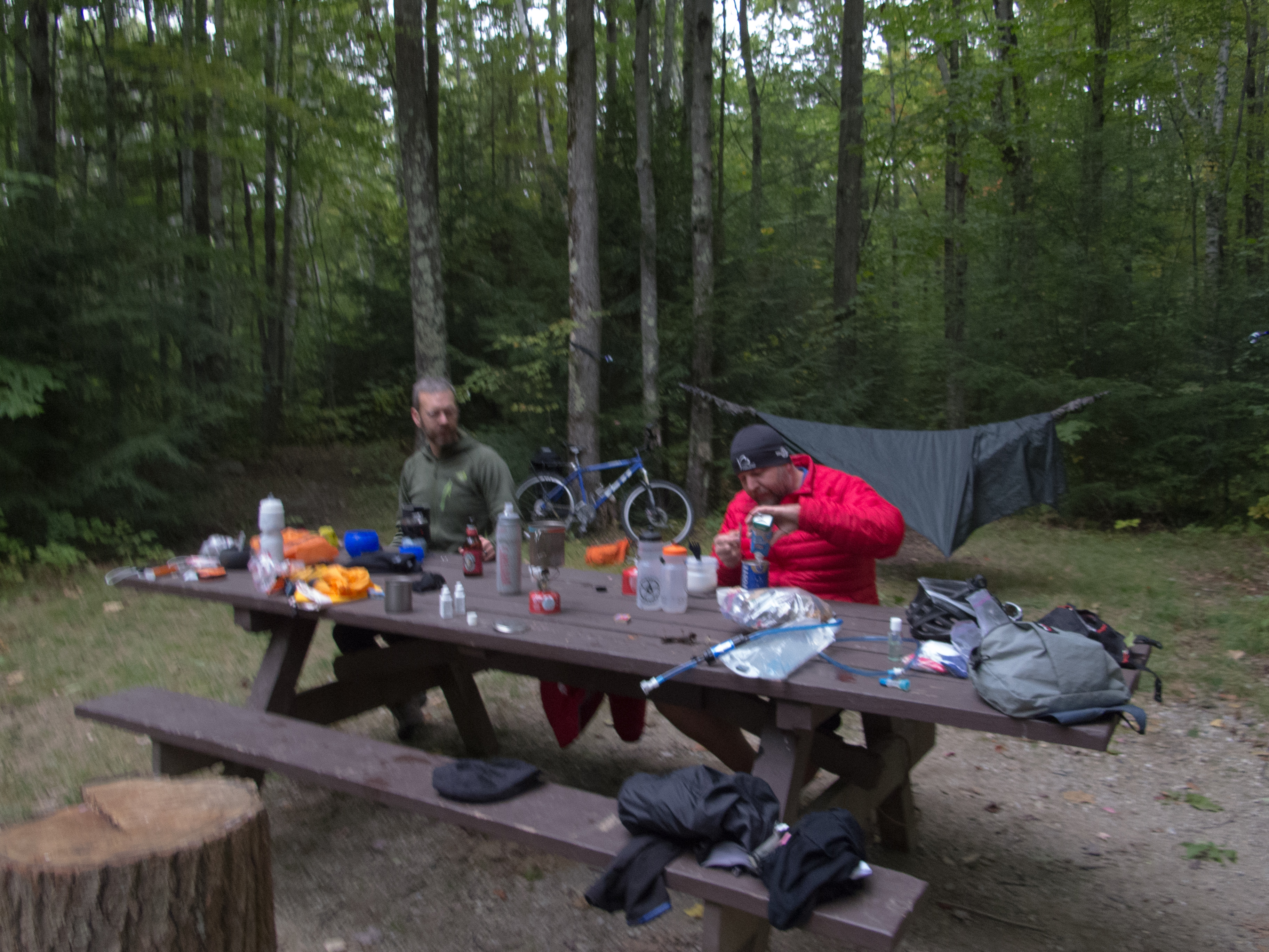
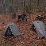
Wil, Greg and I did a S36O to Silver Lake. Road, dirt road, trail, and single track to Lake Dunmore, then we found the Minnie Baker trail and connected to Chandler Ridge. We rode the ridge as the sun was getting low in the sky, and made it to camp at dusk.
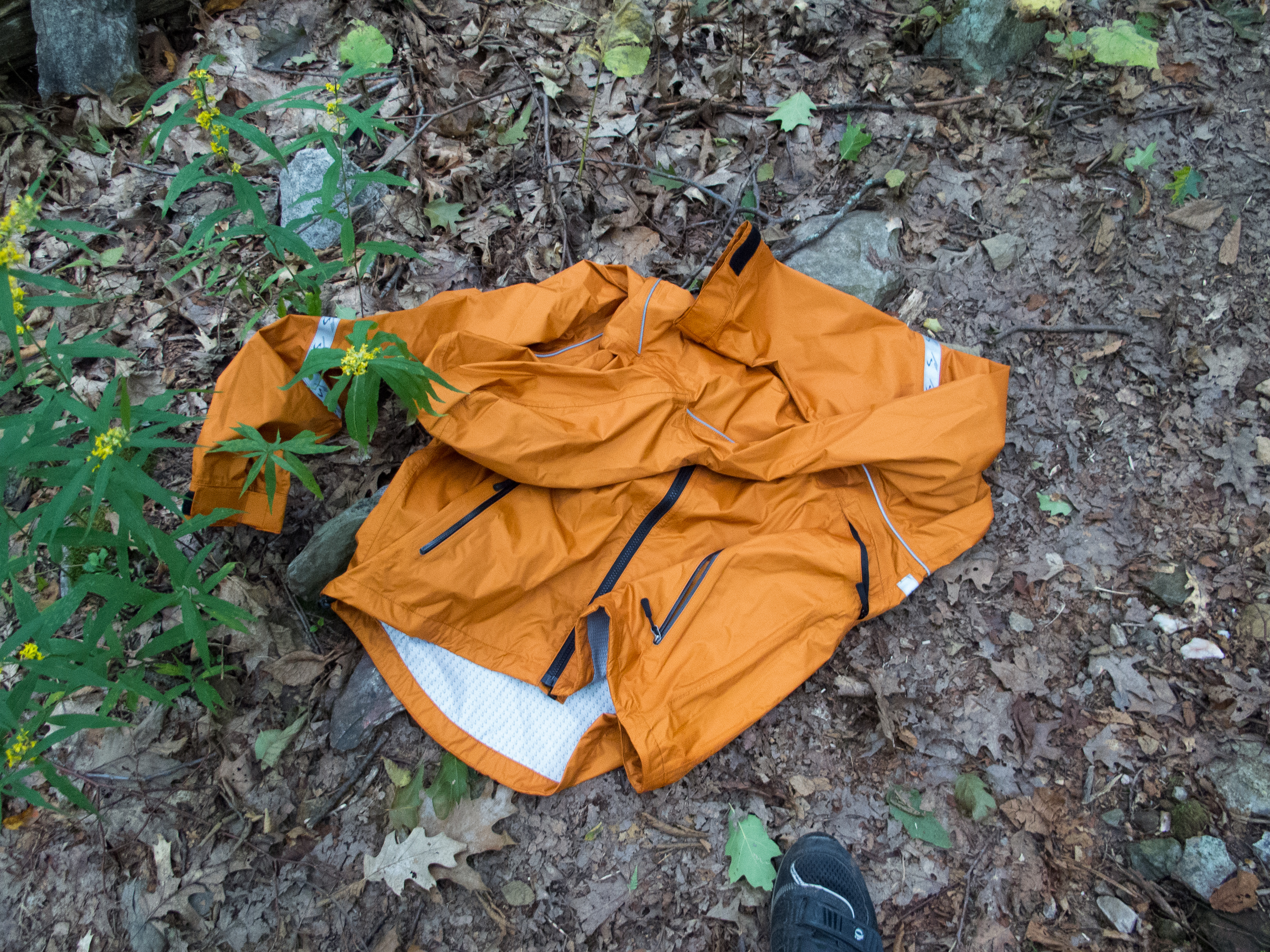
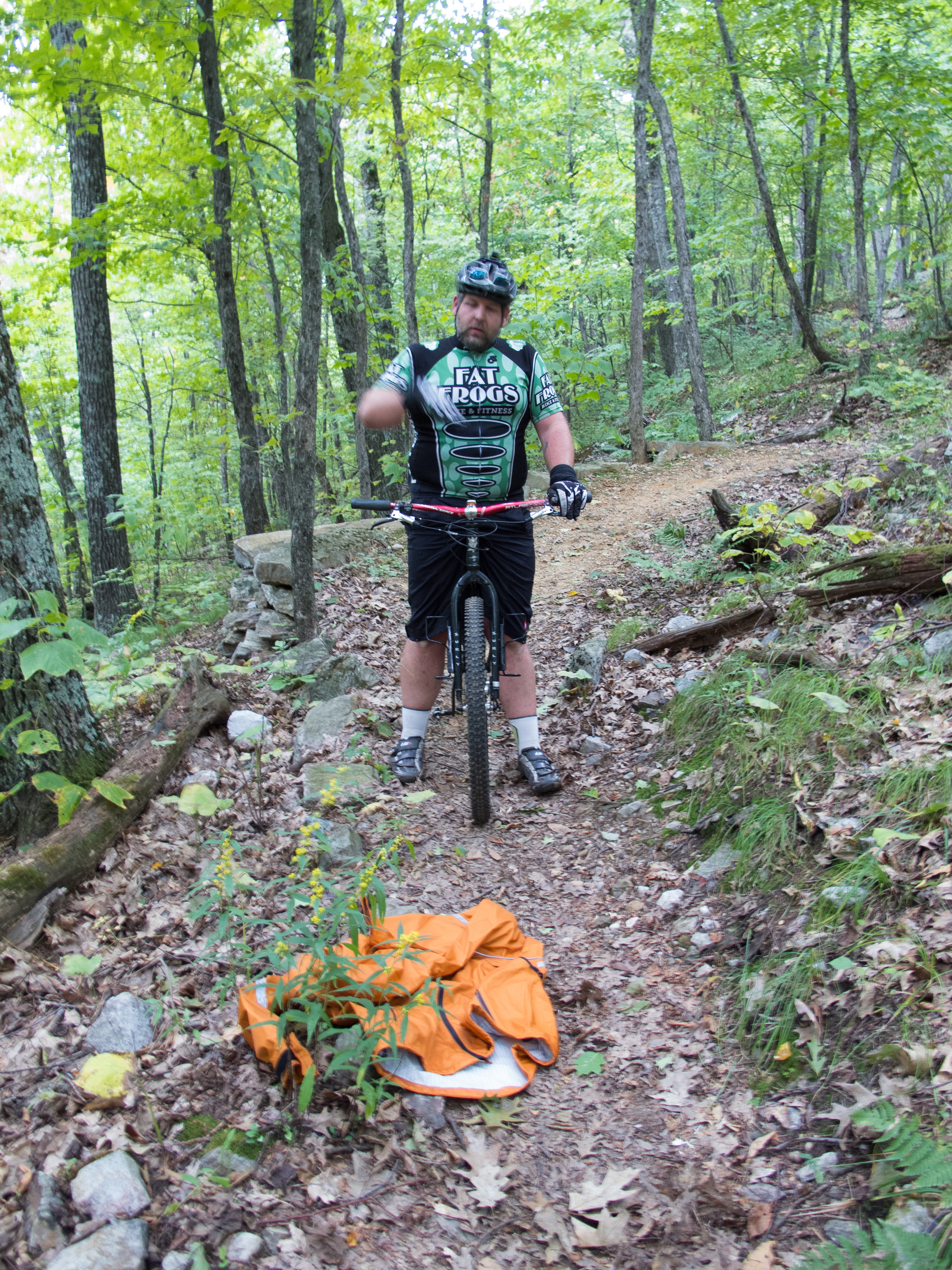
Our plan was to camp and then ride out exploring some VAST and MTB trails that connect up to Brooks Road and then ride the high dirt roads to Lincoln and Bristol. That plan changed when I realized I lost my brand new Showers Pass Crossover Jacket somewhere on the ridge trail. We checked my camera to verify I didn’t leave it in the truck, and found a spot where we thought it might have ejected. I opted to leave it, not wanting to alter the trip, and I wasn’t confident we would find it. The boys voted to not let my jacket remain lost in the woods.
The change of plans had us riding more single track out – the Leicester Hollow trail. Wil move on ahead and ditched his camping kit and blitzed the south end of the ridge trail, back to where I thought I lost it. He found it far far away from where I thought it would be – but returned with it tucked into his jersey.
We then opted to roll into Middlebury for breakfast / lunch and not try to regain the high ground and ride our original route.
Even with the changes we had a great time. Covered ~74 miles with plenty of climbing, roots, rocks, dirt and a beautiful sunset.

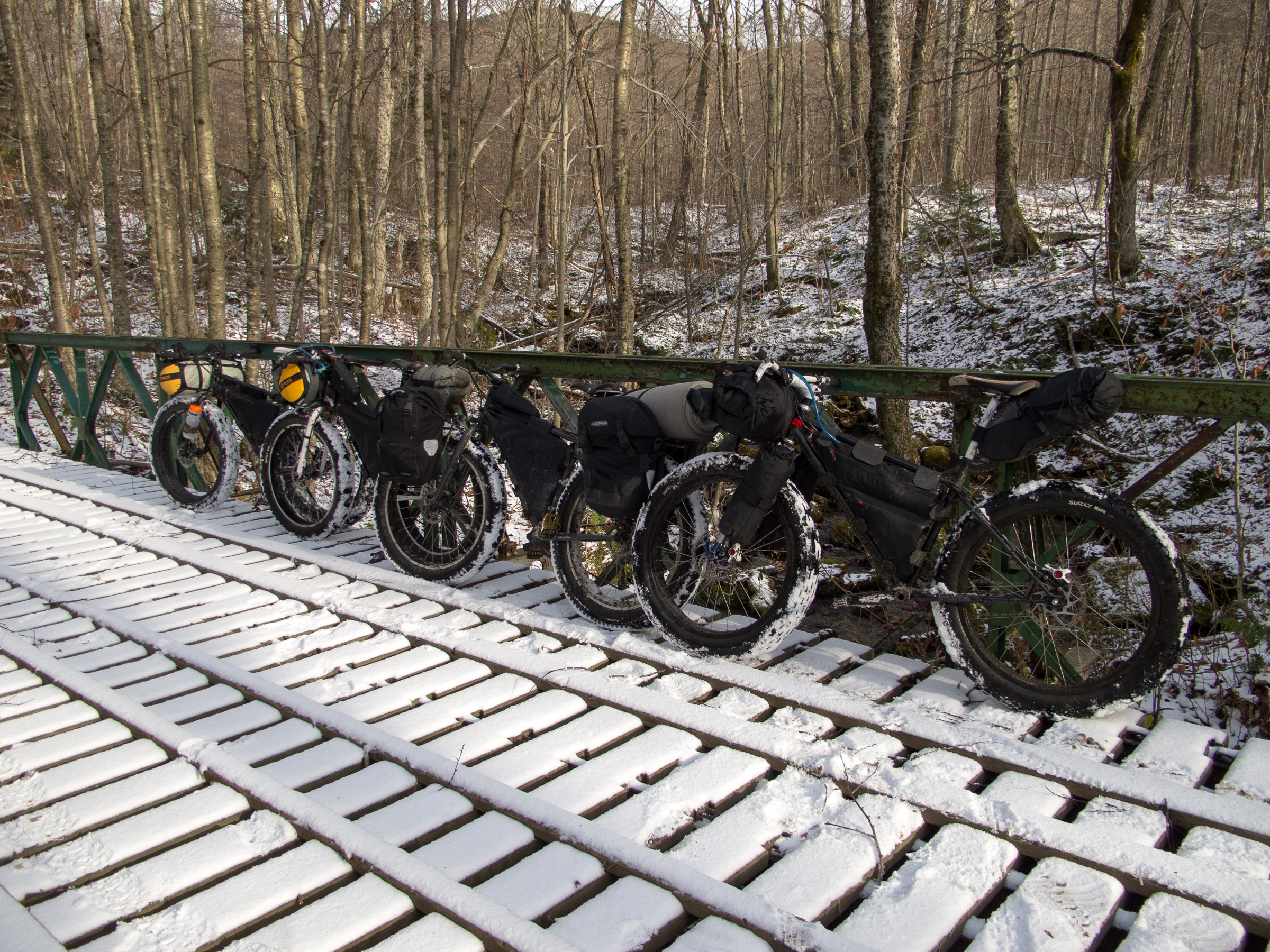
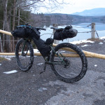
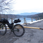
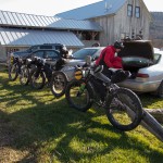
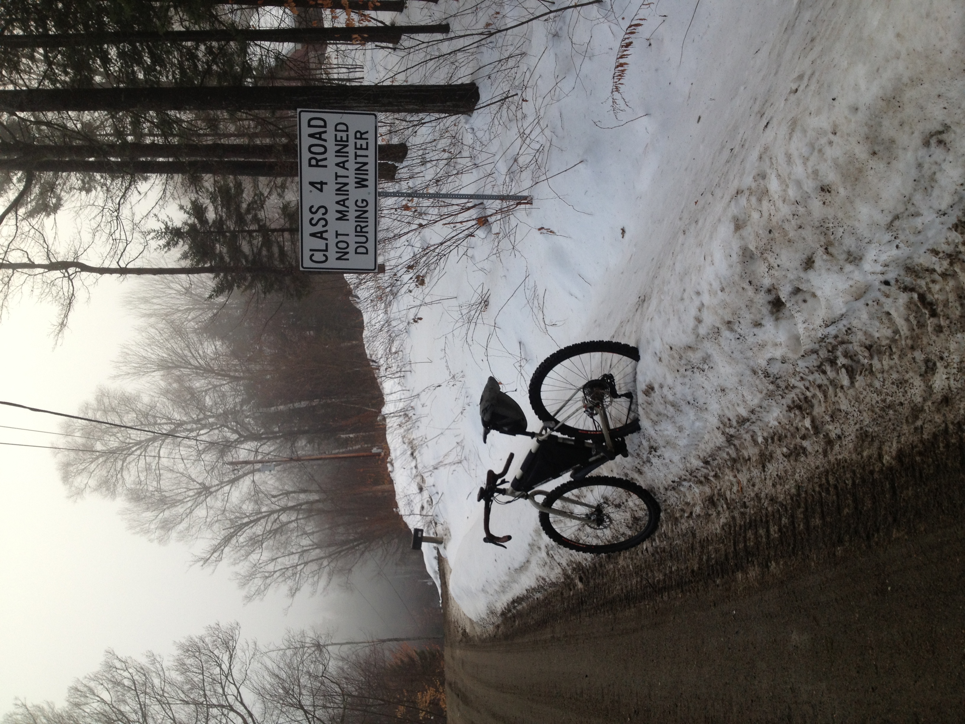
I set out with a friend and a couple of online acquaintances in early November to do a bit of late fall bikepacking. I need to write up a full trip report – but here is a photo dump from the ride. We covered 56+ miles, much of it on trail and class 4 road. Machines were all Pugsleys – a single speed, an IGH Necro, and my white 2×9 all with bikepacking bags. We also had a first generation along (the first one sold in VT) with racks and panniers.
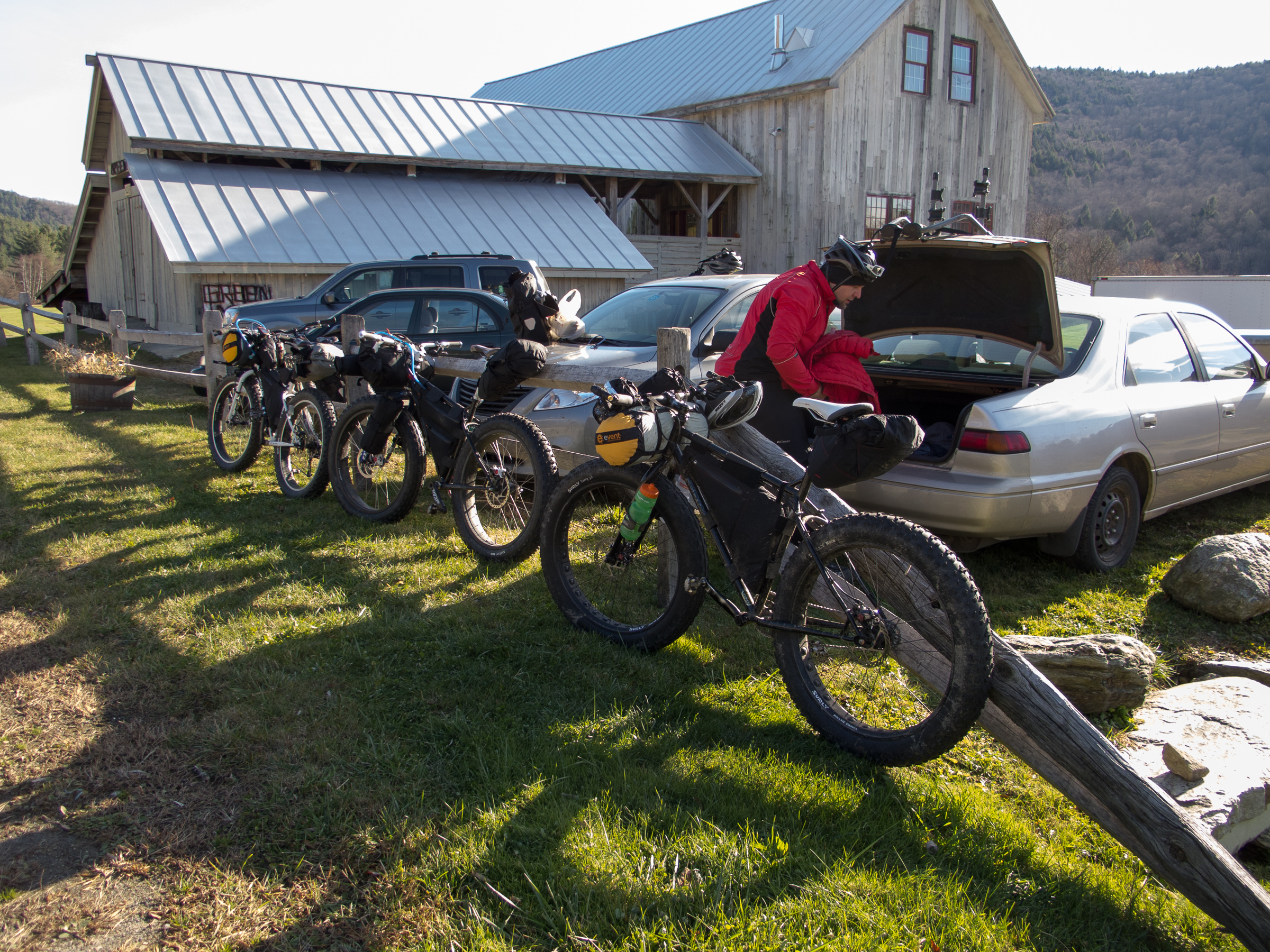
The start was in Pittsfield, VT. We crossed the Green Mountains near Chittenden Reservoir and made our way north to Silver Lake to camp, taking the Leicester Hollow trail in from the south. Fire, chatting, eating, and then sleeping as snow started coming down.
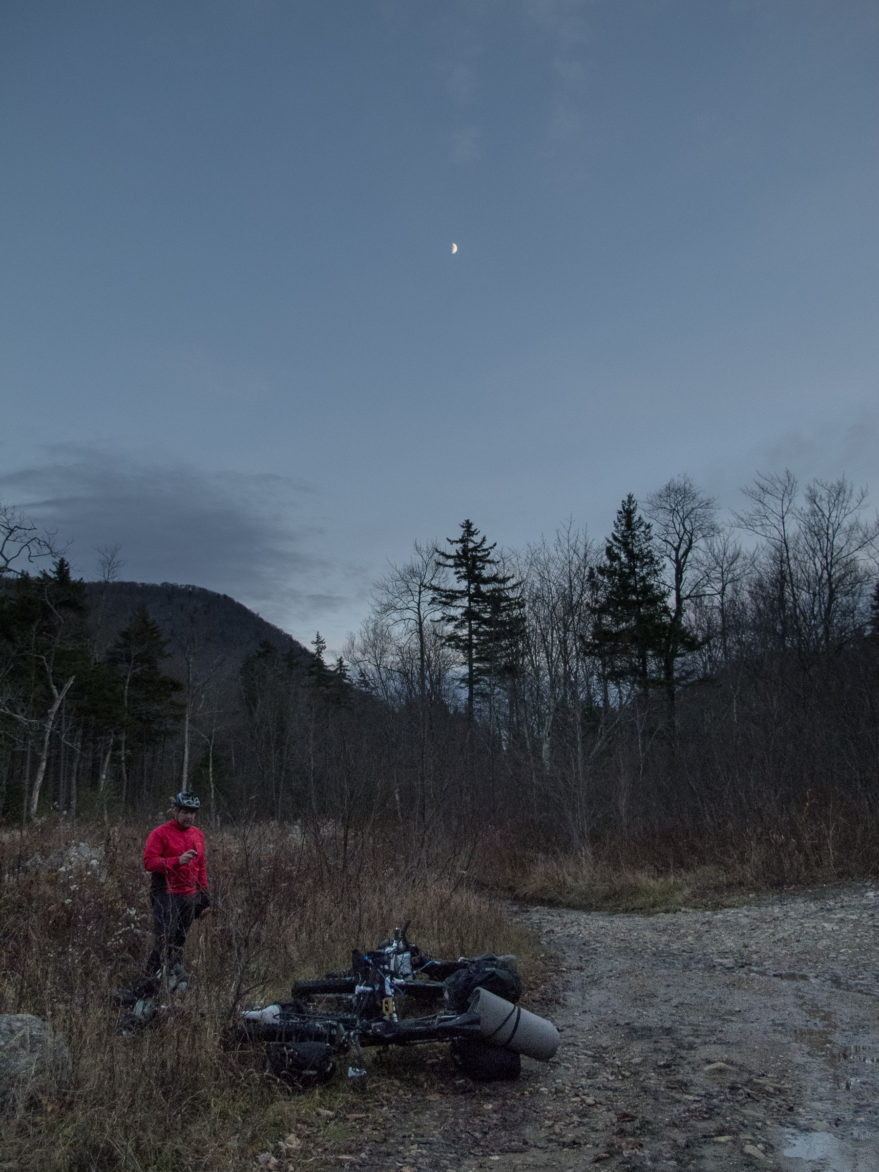
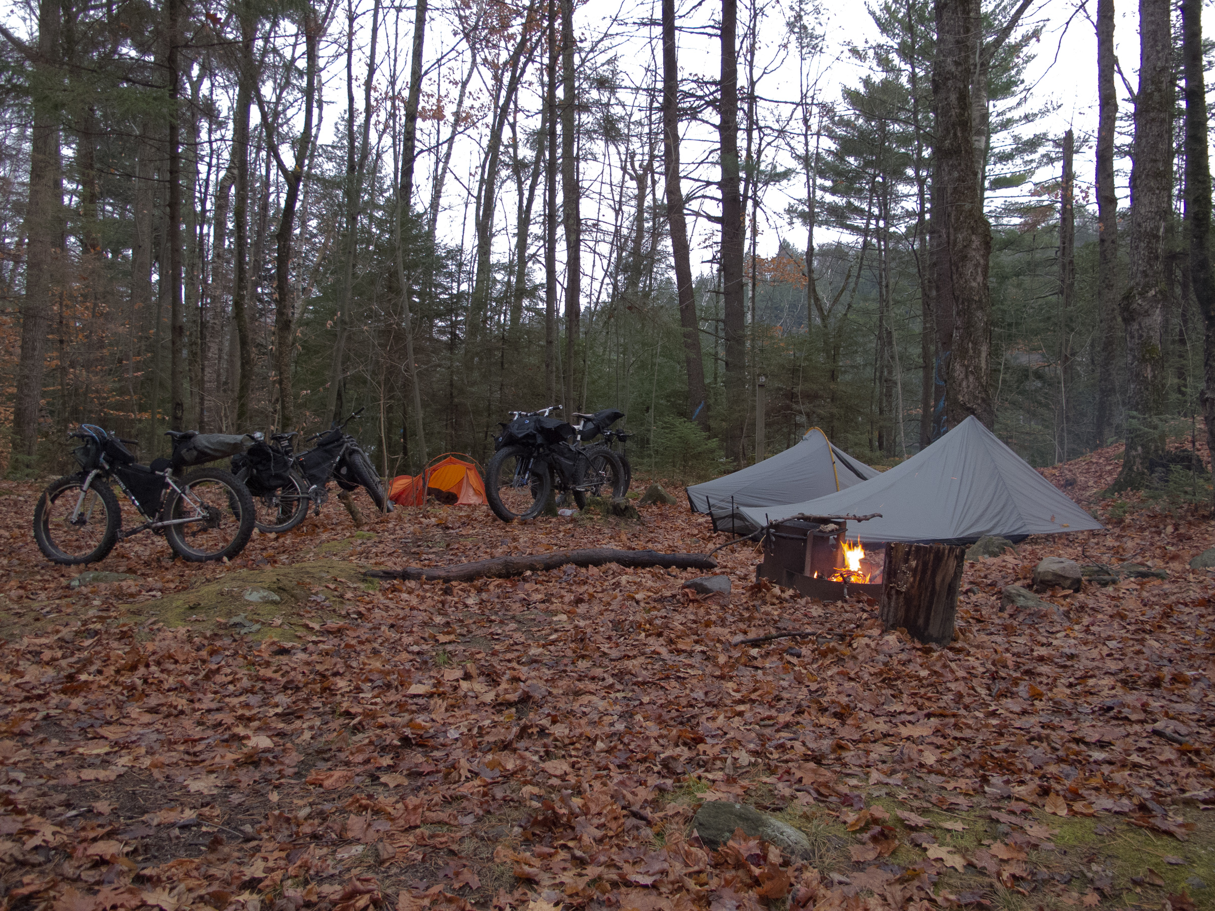
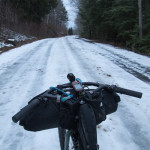
At 2am everything was white – but by 6am when I got up to start a fire everything was just wet. We left the park on the Leicester Hollow trail, which was the only dirt on the second day.
We stuck to pavement back to start, as the weather turned as we climbed Brandon Gap – we had rain and freezing rain and sleet coming down the east side.
The last 10 miles were truly a death march – I was a little sad we eliminated all the dirt and trail – but thankful to eventually be warm and dry.


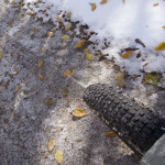
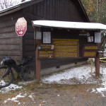
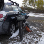
Been a long time since I have written those words. Dirty ride with Greg in Middlesex, VT. Mountain bikes, with studs. Dirt roads, some trail. Ice, mud, snow, hike a bike, slop on the way down when the temps warmed up. Just under 18 miles, with a claimed climbing of ~2750′ according to the online maps. Will have to run it through TopoFusion later. Pretty amazing scenery, and a convenient place for the two of us to meet at the Red Hen Bakery.
Some thoughts from the ride: I started keeping my kit ‘ready to go’ – so I’d always have the same things at the ready. While this has been working – I looked at the sky, at the road, and the temps as we were suiting up in the parking lot and decided to leave the camera in the car. I also figured we’d get up the first few climbs and decide to bomb back down – so I left extra calories with my kit bag. The first rule of bike club is: always take the larger camera. The second rule of bike club is: always take some extra food. The third rule of bike club is: always take the same kit, repeat and modify as needed.
I did the entire ride on some licorice and my coffee and bagel from an hour before. Yes, we did less than 18 miles, but I was feeling it at the end.