A Brevet of 400k

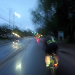
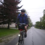
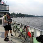
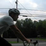
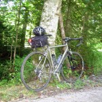
A week ago I rode the NERds VT 400k Brevet. I had planned on being in organizer mode, but when a solid group of folks pre-registered and I figured that day of registrations would be minimal – I decided to ride. The weather was going to be near perfect, and I’d be able to connect with old friends at our halfway stop.

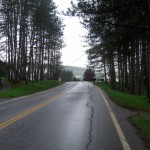
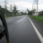
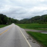
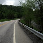
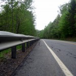
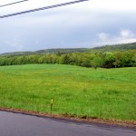
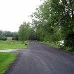
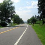
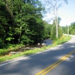
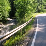
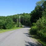
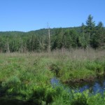
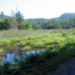
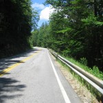
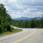
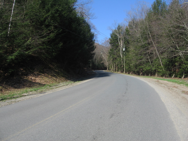
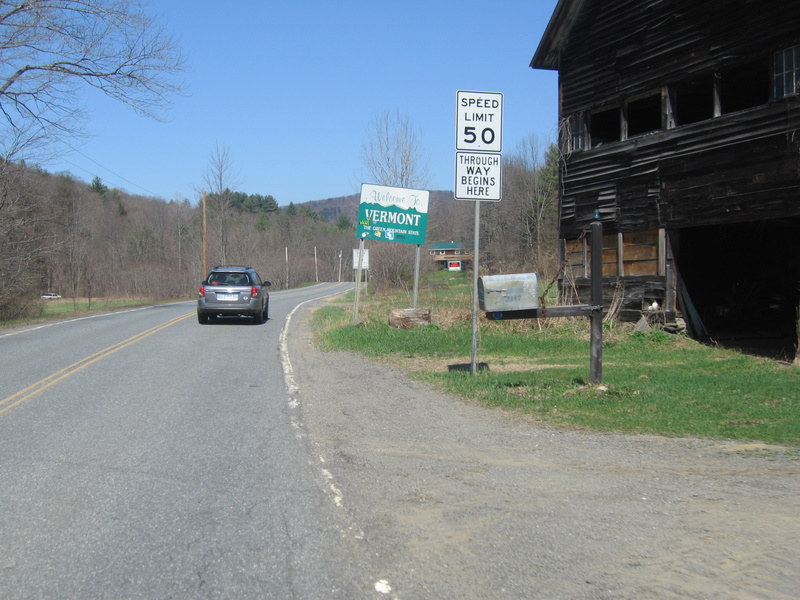
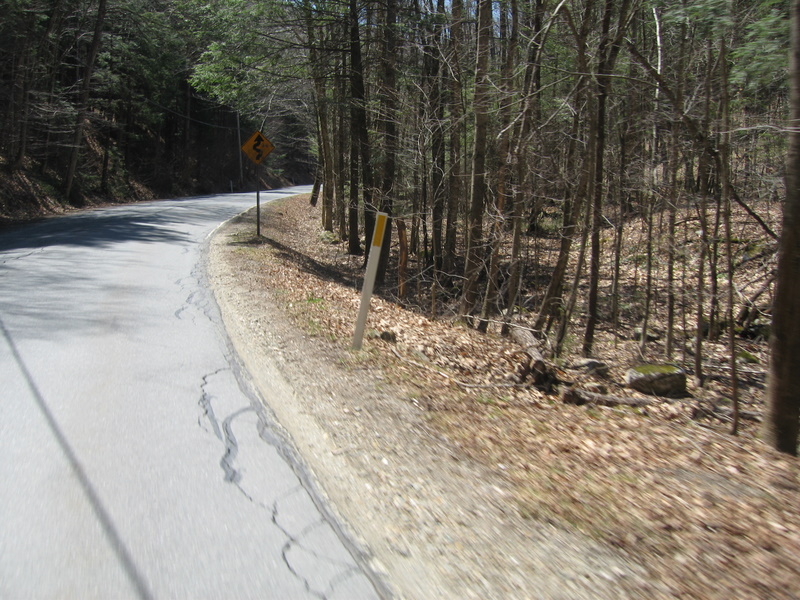
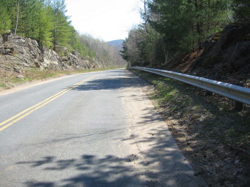
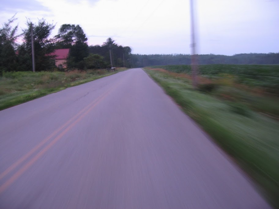
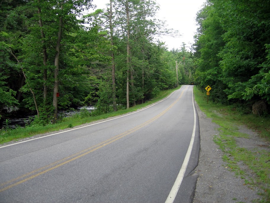
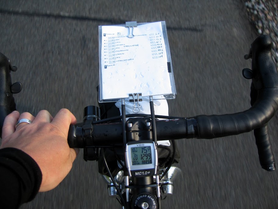
Our ride started in Waterbury, VT and would circle the state clockwise, running east to Montpelier, then south to Roxbury, Woodstock, Springfield, and Putney. From Putney we would jog southwest to Newfane, and then turn north and climb to Grafton and Chester. From Chester west to Ludlow, then turn the wheels north on Rt. 100 to Waterbury. 258 miles, ~16,000′ of climbing. A big day.

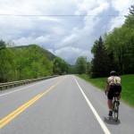
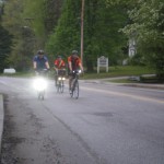
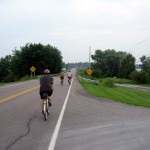
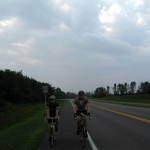
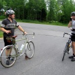
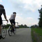
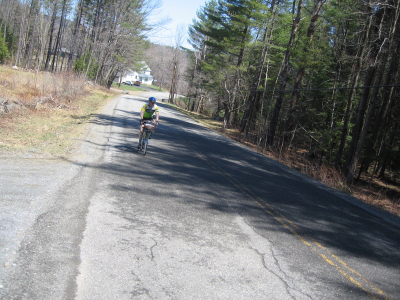
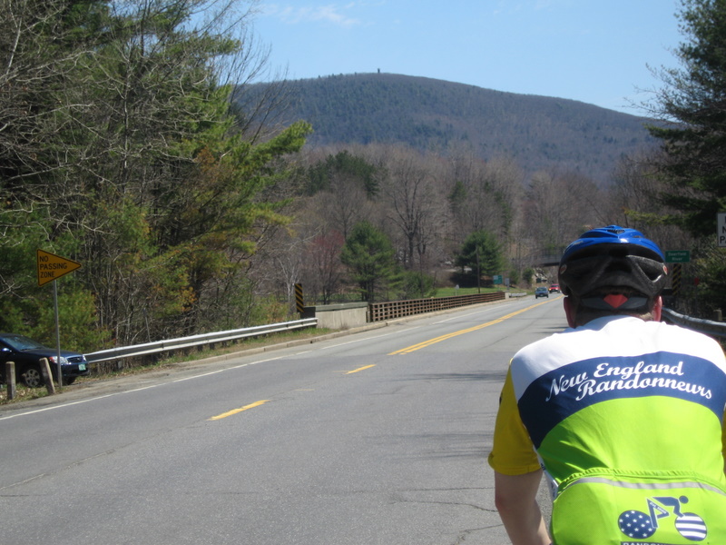
I rode with a few of the starters to Montpelier, and then settled in as Lanterne Rouge. Wil, Tom, and I would leapfrog each other throughout the day, and eventually saddleup together for the home stretch through the night. Having not planned on riding anything longer than a 300k this year I made a worst case scenario plan based on the amount of climbing and my general fitness. My endurance base is there, but I’ve only just started working on speed and intensity, focusing on further weight loss and core strength. Wil vowed to stick with me if I committed…

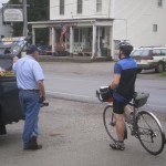
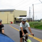
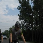
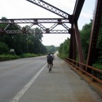
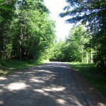
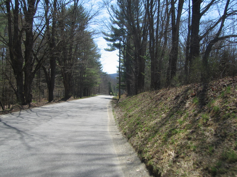
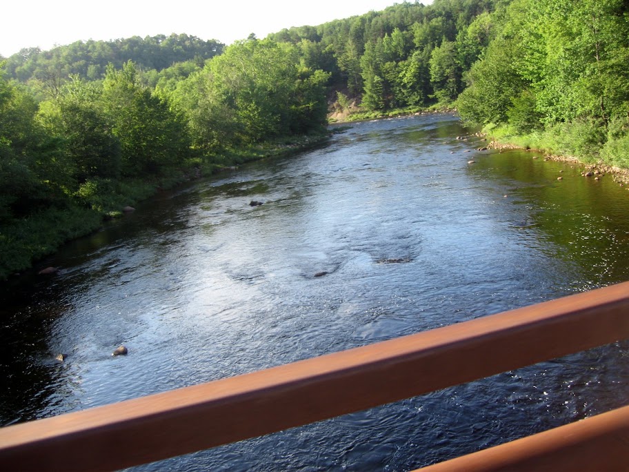
We rolled into Roxbury ahead of schedule, topped off water and grabbed a snack. Our next control was 94 miles away, nearly a century, and we were just getting warmed up. Everything on Rt. 12a seemed to flow through to Randolph, where we stopped for a convenience store breakfast. We met up with Tom again, just as he was heading out on his Rivendell. Randolph to Bethel had choppy pavement and a fair amount of traffic for a Saturday morning. When we hit Bethel the road turned up for ~8 miles. I settled in to spin over the top, wherever it was. Wil stopped at the general store in Barnard and then later to shed layers – allowing me the rare chance of getting over the top first. The drop down into Woodstock was a blast – we spun along at 30-35 mph for what felt like an eternity.

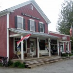
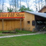
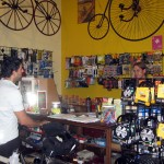
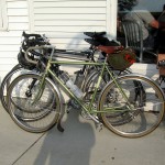
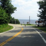
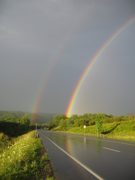
We passed through Woodstock proper and made a stop at the South Woodstock General Store, and followed 106 to Springfield. We made a quick stop outside of Springfield to top off bottles and calories as I wanted to make the final stretch to the next control without venturing off route for supplies. I was starting to notice the heat – all 68 degrees of it. As we left Springfield the road turned up. It bordered on ridiculous as I cursed the organizer for sending us up 12-16-18% grades on our way to Saxton’s River. The climbing on this stretch seemed to go on forever, with Wil actually getting off to walk and talk to me as I grannied up the final pitch. Over the top and the rain let loose. At first we opted to ride it out, only to stop under the next set of trees to suit up into rain jackets. Aside from trying to bomb a descent in a sheet of water – the rain was welcome, and after the initial downpour it settled in as a pleasant drizzle that lasted until just south of Saxton’s River. The final push to the control was over Westminster West – another climb – passing washed out driveways and lots of downed branches and leaves in the road. We rolled into the West Hill Shop ahead of schedule – crossing paths with Tom again. We were just in time for lunch and a party – the shop was celebrating their 40th anniversary and at least a hundred people had just finished a long road or mountain bike ride to celebrate. Real food was consumed and I caught up (quickly) with familiar faces. Wil and I were easy conversation targets – wolfing down food, soaking wet and filthy, with odd luggage, lights, and cue sheets strapped to our bikes.

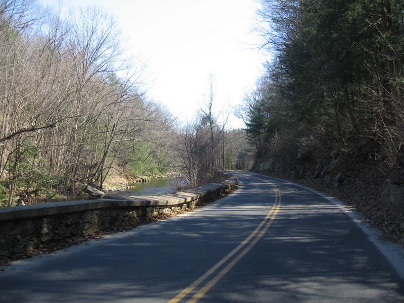
We rolled out ahead of schedule to tackle the terrain to the Dummerston Covered bridge. 15+ miles, and it hurt. I’ve done this stretch of road so many times when I lived in town – but with 125 miles in your legs the 18% kick at the end and the steep switchbacks hurt. Alot. I clawed my way over the top for the ripping descent, feeling completely spent. And we were just halfway.

The route then took a mild turn up Rt. 30 to Newfane and a grocery store / market. On the wide shoulder of Rt. 30 I pulled my feet out of my shoes and slipped off my socks in hopes of drying them before nightfall. When I pulled into the control there was no sign of Tom, but Wil was soundly asleep in the ditch.

The last few years has had me baffled by what to eat on long rides. Things that used to work have failed me, and GI issues were the cause of my DNF on a recent 400k out of Boston. This time out I couldn’t let stomach issues be a show stopper – so I stuck with foods that I’ve had previous success with – until I got to Newfane. I knew that I needed to get my electrolytes back in balance, and I know that sports drinks available at gas stations and convenience stores often send my stomach south – so after a bathroom break and face washing I popped 3 lactaids (to be sure!) and downed the most satisfying chocolate milk I’ve ever had. I chased that with some salty chips, reloaded the water bottles, and grabbed a ginger ale for good measure. Within 15 minutes I felt like a new person. Ready to roll I found Wil still asleep in the ditch. He started moving, got his card stamped and reloaded, and we were off again. I burned more time than I had wanted at this control – but I felt refreshed as we rolled out – and we were still ahead of schedule. Next up – 31 miles to Ludlow, via Grafton and Chester. With plenty more climbing, as day turned to dusk.

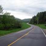
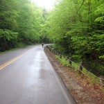
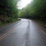
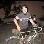
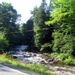
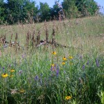
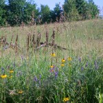
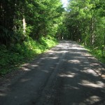
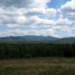
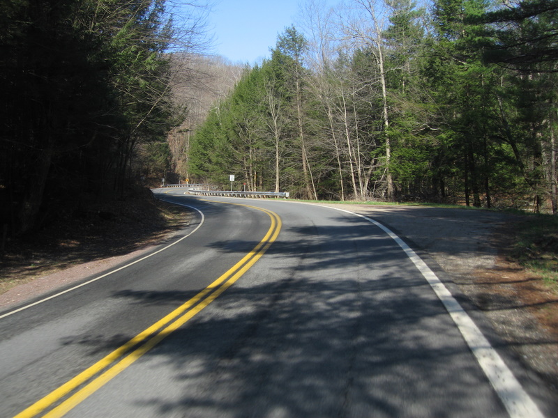
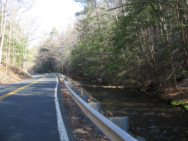
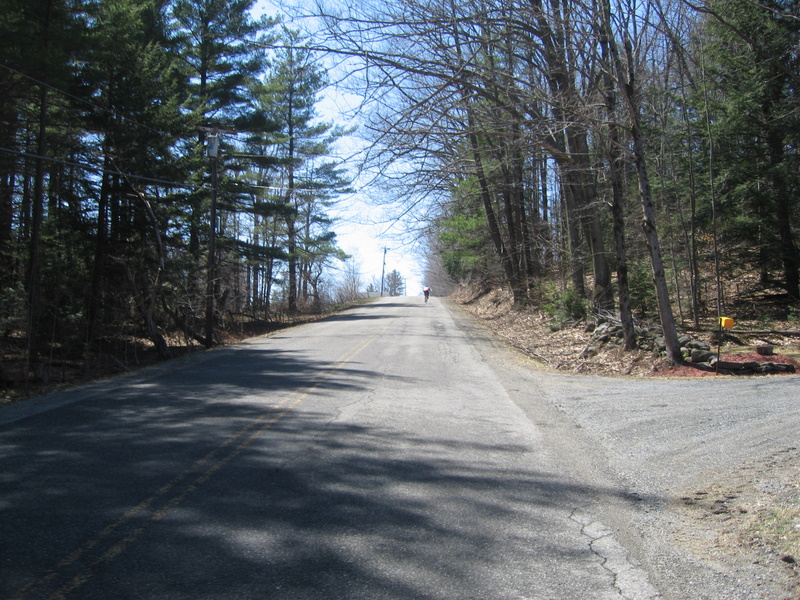
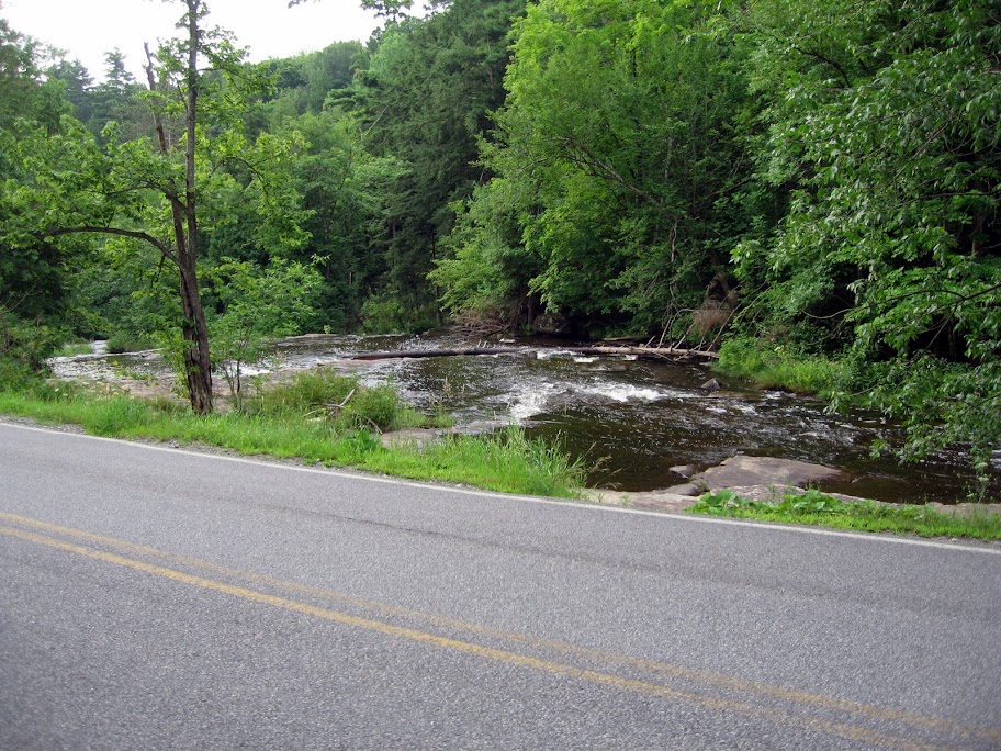
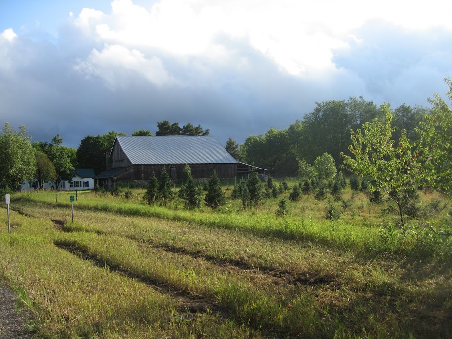
The route to Grafton is superb. I’ve always enjoyed the climb – and with 140 miles in my legs it still was some fine cycling. Roaring creek to your right, no traffic, smooth pavement, daylight fading but glowing on the tops of hills, and the peepers starting to peep. Up over the top and you are rewarded with a rolling 6-7 miles into town. A few quick turns and we were climbing our way up and out of town, for what felt like forever. Up and over the top we dropped into Chester in the dark. I really enjoyed watching Wil’s tail light twist and turn as he tucked into curves and was able to pick my line well ahead of time following his lead. We passed through Chester and turned up VT 103 for 12 miles to Ludlow. Wil took off ahead of me and we agreed to meet at the next control. I struggled for this section – it was one of those ‘longest 12 miles of my life’ portions of the ride. My feet were still wet, it was dark, nearing 10pm, I was calorie deficient, and what I remembered as a relatively flat road had several not so subtle climbs between me and a break. I moved pretty slowly, but rolled into Ludlow still ahead of my schedule – and found Wil and Tom stocking up for our final leg – 85 miles to the finish with no resupply save water at the 41 mile mark. My pictures fade away here. Lots of work to do in the darkness.

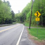
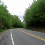
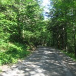
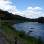
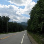
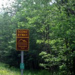
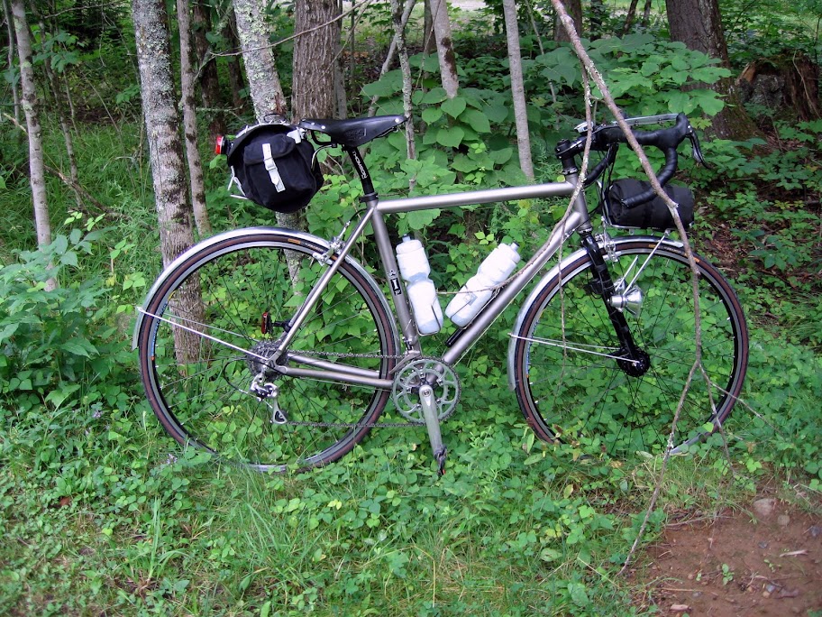
I took some extra time grabbing calories and extra liquids, and snagged 2 plastic bags from the clerk. Returning to my bike I had a yard sale and reorganized my kit, then tucked my wet feet into the bags and then into my shoes. I donned my rainlegs to ward off the chill, and put my rain jacket on to keep in the heat. The rain legs would come off 5 miles up the road – too warm – but the jacket and the bags would stay on until just about the end. The three of us rolled out onto Rt. 100 for a night of riding what some folks think is one of the more scenic roads in the state.

The miles out of Ludlow ticked by predictably and I focused on how far I’d come, and what was left to do. I had a few goals in mind for the ride and was checking them off in my head – the biggest goal was to make it halfway in good time without burning out. That was surprisingly easier than I thought it was going to be. Following on that I knew that if I could get to Ludlow I knew I could finish. After Ludlow I had just two minor goals – get Killington behind me, and gracefully climb Granville Gulf with 230 miles in my legs.

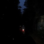
Killington and River Rd. came and went with a quick stop in Bridgewater to regroup. We pressed north – sometimes riding together and chatting, sometimes drifting apart into our own tunnels of light and darkness. I think we had 6 cars pass us through the night – 2 of them some kids screaming nonsense out the windows. Near Stockbridge revelers at a bonfire cheered me on – which put some pep into my spin. I caught back up to Wil and Tom as we entered Rochester for a break on Green Mountain Bike’s front porch. We reloaded water at their fountain and I cleared out pretty much every calorie I had with me – everything I thought I’d want I didn’t – so my choices were limited, as were our options – all services north of Ludlow close at 10pm (and many do not open until 7) – so we were on our own until the finish. Feeling refreshed we headed for Granville.

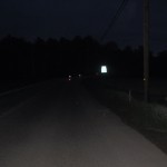
We made good time to town and the road tipped up. This was the last speed bump to get over – the remaining route – while not flat, was relatively easy. I lost Tom and Wil to the grade, and somehow managed a strong climb, at 3:30am, with 230 miles in my legs. The terrain through the gulf closes in on both sides of the road as it twists upward, and a creek follows you. Before the top, from the south you pass a series of waterfalls – scenic in daylight – surreal after dark. Surrounded by trees and water and darkness the sound was what I remember most vividly. Unreal, and inspiring – the roaring of the water at times deafening and overpowering what little other senses I had available. Truly inspiring despite some oncoming pain and the fatigue I was fighting.

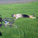
Over the top I passed Wil napping in the ditch and Tom raiding his handlebar bag. As I rode ahead I pulled out something I’d been saving all night – and enjoyed the most amazing Twix bar I’ve ever had. Simply delicious.

Somewhere on the flat(ish) top of the Gulf I saw what looked like mud on the road, then heard something very large splash into one of the ponds to my left. I circled back just as my companions arrived and we scanned the woods for moose. Our lights turned up nothing – but the thought of dodging a 1200 pound animal had me riding cautiously on the descent into Warren.

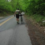
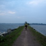
From Warren to the finish everything is a blur. Wil and Tom were having trouble staying awake – so I shared some caffeinated gel with them. I also tried to engage Wil in chit chat – which derailed into me sing songing nursery rhymes and finally querying him math problems. He apparently had enough and he sprinted off the front in an effort to wake up. I’d see him again up the road cat napping on a bench as I rode by. The last 20 miles were tough. They didn’t make it into ‘death march’ category – but fatigue, lack of sleep over 30+ hours, some saddle pain, my stomach complaining about anything I’d eat, and being calorie deficient all compiled to make for a long slog. I spent a fair amount of time standing on this stretch, and at one point I got off and walked for about a half mile. I knew I had plenty of time to finish the ride – so I just geared way down and crawled along at 6-8 mph. Those last 10 miles were mental agony looking at my computer. Moving so slow… and so close to being done.

Wil and Tom rode on ahead, and I proudly carried the Lanterne Rouge to the finish for a 25.5 hour time.

258 miles
~16k of climbing
Rain, sun, twisty descending, steep climbing.

What worked – chocolate milk, real food, Twix bar, Sport Beans, Nunn tablets

What needs work – saddle interface after 200 miles started to hurt, and while my endurance base is strong – I need to push for speed and intensity – climbing well is the only way to ride fast in this terrain

Cycle Celebrate Champlain

Early start with a misty rain.

Great ride this past weekend. Bordering on burnout I opted to head out on the century route and adjust as I felt necessary. John and Jim felt the same, Patrick went off the front to tackle the 200k route. We dodged the rain, enjoyed the bike ferry and wonderful carless crossing to the islands, feasted at Hero’s Welcome, then modified the route to include the Plattsburgh Ferry – catching Patrick at a convenience store. We grabbed the Burlington Ferry back to town… as the sun baked us and the waves washed our bikes.

Walking a canoe on the NY side.
Heading for the final ferry crossing.

ADK Double – Bliss + Misery = Blisery?

Morning sun in Charlotte, VT

So close and yet so far. A challenging new route from last year. Supposedly less climbing. New roads, some of them dirt. No GPS, a simple printed cue. Lack of cell phone coverage in the mountains. Rolled from the house @ 4:30 am. Made poor time on the flats to the NY side of the lake. Recharged and refilled water at the Crown Point Campground. First bout of misery when the stomach and GI distress hit – worked hard to try and eliminate a repeat of my Boston 400k – stayed a bit longer at my first stop to settle the tummy and text the family.

Creek Road
Creek Road
Abandoned... along the first stretch of dirt.

Into the terrain north of Paradox Lake. Climb climb from the Champlain Valley – then navigate on a few unsigned dirt roads. Bliss was climbing this morning – feeling strong – making back time – and hitting the dirt. Then a question about navigation. No phone signal – continue bombing down this dirt descent and hope it drops me out where I need to be – only 60 miles into the double?

Northwoods dirt...
Northwoods dirt...

Sound of a truck – pickup with VT plates.

Yeah, this will go there – you’re crazy to do it on that bike!, I’ve ridden all over here on my mountain bike… and don’t slow down too much – lots of deer flies out…

My first navigational hero – in the right place at the right time.

Perfect timing to continue rolling down a great great backwoods descent. Lane and a half at most for the best parts. Posted on both sides of the road – but creeks, trees, the sound of water. Upper wetlands, beaver ponds. A bit of gravel and washout. Views to unnamed (to me) mountains. Nothing in the road surface that I haven’t seen before on the IF – but most folks wouldn’t consider riding dirt on skinny 28s (more like 26s) with a light load. Dropped out on NY 74 just east of Paradox Lake – just where I was supposed to land. Into the campground for stomach distress round two – and to top off bottles. Enjoyed cold and delicious spring water in an empty tent site. Washed the face. It was starting to get hot. Down from Paradox to Schroon Lake on NY 9. Into the general store for a proper lunch, enjoyed sitting in the shade on the porch. Stomach feeling better, behind schedule. Terrain ahead. Hydrated. Electrolyted. All systems seem to be sorting themselves out. Text the family with update #2.

The IF after reloading the H2O.

On to Hoffman (Mountain) Road. Climb climb climb to Olmsteadville and NY 28N. All paved, with a few short rolling descents. Navigation question again – sign says to turn, cue says to press on. I turn. Doubt it for the next 10 miles. Two cars pass. Quiet paved road. Isolated. I pop out onto a busy(ier) route. Sings pointing to I87 and another town do not compute. Pull out the smartphone. No signal. Climb or descend? Sun is directly overhead – and my guess is to climb. UPS truck coming down the road. My second navigation hero arrives in a brown ensemble with mirrored shades. Just up the road, follow to the left, through the blinking lights. North Creek is the next town to hit on 28. Perfect.

Hoffman Road
Hoffman Road

Roll into Olmsteadville. No cell signal. Pick up NY 28N south(ish). Then on to North Creek and over the Hudson. No cell signal for texting the fam – so I roll on with a view of Gore Mountain. No easy convenience store on the main drag for water… but I’m packing three bottles (two full), temps in the 80’s, and only 17 miles to the next town. I gamble and roll north on NY 28, following the Hudson. Five easy miles with quite a bit of traffic, enjoying the view along the river. Then the ‘slower traffic’ lane appears. Long climb ahead. Temp hits 86. Water drains very quickly. Third bottle pulled from downtube. About 8 miles of up. 4 to get the bulk of the work done. Topo claims 4-6-8% but the VDO claims some of 9-11% thrown in. Nothing as steep as the previous climbs – but this road leaves one exposed to the big rigs and camping rigs and the sun. Not fun, the slowest 8 miles in recent memory. Water tapped out with 4 miles to town.

The Hudson
The Hudson
Blue Mountain
Blue Mountain

Parched I double down on water at the Stewart’s in Indian Lake. Enjoy a chocolate milk shake with vanilla creme wafers. Stomach seems to be doing much better. 110 miles of the cue in the bank (+7 bonus). 2:30 in the afternoon and I’m 2 hours behind schedule. 24 to Speculator. Down nearly a gallon of water, refill. Check the phone – still no service. Debate a long distance call from the pay phone and then roll on. Make the turn southward towards Lake Pleasant and Speculator. Scenic overlook – stop for a snap and to check the phone. 3 bars – but no connection. Worried that the fam will be worried – its been 6 hours since my last text. Roll south to Speculator on NY 30. Gorgeous road for most of the 24 miles. Views to Indian Lake. Camps great and small dot the roadside. Too many ponds and creeks and upper wetlands to count. Mountains abound. Stop in at the Lewey Lake state campground to use the facilities (GI again), wash my face, and top off bottles. Rolling south again with 4 miles from town I see a cell tower and stop. Finally a signal. Voicemail and a call to a very relieved wife. The fam has been worried and is about 40 minutes away in the rescue wagon. I’m beat and running well behind – putting me after midnight to finish the double century. I roll on to Speculator, make a quick stop at the convenience store and slowly roll west out of town. Somewhere along NY 8 Jen finds me and we call it.

I logged 140 miles, 7 of which were bonus to fetch water or to track down a missing cue, or in one case find the end of the road and figure out where to turn next. I spent an amazing 3 hours off the bike during the first 200k – which contributed to my slow schedule but helped with my stomach issues.

Bliss is riding in the mountains (even though I’m not a strong nor fast climber) under blue skies with puffy white clouds on a perfect (if a bit too warm) summer day. Misery is a slowness in the legs, lack of sleep for several nights prior, a stomach glitch I can’t seem to solve on longer rides, and a route that needs a bit of work to balance the beauty with the pain and the traffic. And I’ll have to verify the climbing. Online mapping shows less than last year – but it might be packed into tighter and steeper groups – which certainly hurt in the heat. Or the online maps can be wrong…

Aside from the disappointment of not completing the full solo double – I’m thrilled that I spent the day on the bike surrounded by the mountains and lakes of the north woods. And the fam was thrilled that I simply lost all cell reception for the better part of 6+ hours, and was safe and slowly making my way. A SPOT device is in my future… from the most amazing wife in the world.

ADK Double

Modified from last year - a bit of dirt and some new roads.

Sleep, then 200 miles through the ADKs from BTV to New Hartford, NY. The wife and little one will be waiting.

A bit less climbing than last year - according to the machine - but we'll see how the real world compares.

The Ride that Wasn’t

Mt. Philo in the early morning light and fog...

I awoke at 2am to prep for a double century through the Adirondacks to Utica to visit family. Left the house by 3:30am and rolled slowly through town letting my body and senses adjust. Everything felt off – legs, core, mind. I pushed on to Charlotte and Vergennes knowing that there are always high and low points on long rides – and with an early morning start I shouldn’t put too much pressure on myself to be moving quickly. Usually things sort themselves out as soon as I warm up and the sun makes an appearance.

There was the slightest crossing headwind and a fog in the air as I moved through Shelburne and Charlotte. The flats all felt false and the rollers on Greenbush were beating me down. I tried not to look at my computer – but my speed was well below normal for the effort I was putting out. I rolled into Vergennes about 40 minutes off my schedule – just 30 miles into the ride. I took a seat on the front porch of a bank, put on all the clothes I had and ate one of my PB&J sandwiches. I was cold and clammy and wanted to sleep right there. Couldn’t focus and felt out of it. Began extrapolating my speed and the terrain ahead – also knowing that there was likely to be rain and wind most of the day. Unable to shake the chill and the soreness and the mental offness I opted to roll back home – which felt about as daunting as finishing the ride to Utica. I slogged back north, averaging about 8-10-12 miles an hour on fairly tame terrain. I’m pretty sure I could have rolled into a ditch and slept with the goats and the sheep. All I wanted to do was get warm and snuggled and sleep for a week. I stopped at the Red Brick store in Charlotte for some coffee and napped on the bench for 10 minutes. Despite the warming temperature and the spotty sunbeams that warmed my face my body still felt cold – chilled to the core. I was wearing a base layer, wool jersey and my rain jacket fully zipped. I struggled on to Shelburne and enjoyed the relatively low traffic on Rt. 7 into town. Zagged down to the bike path and spun home in the little ring. A stop at the bagel cafe for some breakfast and a short jaunt on NASCAR North Avenue and I made it home. I covered about 60 miles. It simultaneously feels like far less and far more.

The view from my napping spot at the Red Brick Store in Charlotte.
Looking towards the ADKs from the waterfont. It was going to be a pretty day in the mountains.

I’ll have two or three other excuses to repeat this ride. I tweaked the route from last years successful attempt to explore some new roads and some slightly more remote terrain – so I’m looking forward to having a good day on the bike.

Wet Flèche

Flèche NE 2009 was a windy and wet affair. Our team of three departed City Market in Burlington on Saturday at 8am. We left with partly cloudy skies and a wind out of the south – southeast. That wind would never stop – and the partly cloudy would turn to full cloudy, then rain, then deluge, and finally cold wet monsoon.

Partly cloudy, mild temps, happy smiles...

Our route took us through Richmond, VT and we made use of the recently opened bike and pedestrian ferry. I’m fairly certain we are the only flèche team to include a boat ride. We rolled some familiar roads to Middlesex where we stopped at the wonderful Red Hen Bakery. One of the bakery owners was on one of the four teams from our great state – we chatted with his wife while enjoying second breakfast – and then fought the wind pretty much all the way to Warren. We rolled through Granville Gulf on Rt. 100 – a beautiful stretch of road that includes waterfalls, roaring creeks, prime moose habitat, and several ponds. Dropping down from Granville we opted for a lunch stop at the Rochester Cafe. Sitting outside with our bikes we answered a few questions of a bewildered local roadie.

The bike / ped ferry in Richmond.
Dirt along the river...
Second breakfast!
Second breakfast!
Along Rt. 100b...
Along Rt. 100b...
...heading up Granville Gulf...
...cruising near the top...
...and down the other side to Hancock.

The stretch from Rochester to Killington was tough for me. The wind picked up and we pace lined the best we could in rolling terrain. My stomach started shutting down – even water was hard to swallow. By the time we reached the climb up to River Rd. I was in distress – my teammates up the road (making it look easy) – and me crawling up the grade in a 32×29 and wishing I had something lower. I recovered a bit on the long descent into Bridgewater Corners as we had to pace line downhill into a really stiff breeze. I was feeling better but desperately needed a restroom – both gas stations had ‘out of order’ signs, and I was preparing to trek into the woods when Jim managed to find an open shop and was waving me across the road. Many thanks to the snowboarder / mountain biker / adventure dude with the electric motocross bikes shop for letting me make use of his facilities…

Jim and Patrick cruising after our lunch stop.
Heading towards Killington...
...and along River Rd. and the wetlands.

Feeling better we started rolling up towards Ludlow for dinner. The route took us along several lakes and was dotted with summer camps and cabins. We rolled into Ludlow only about 10 minutes behind schedule at 6:40pm. We had hoped to build up some bank time – I had thought we would have an hour or more in the bank by Ludlow – but the wind and weather took its toll early on. Tacos Tacos called out to Jim so we ordered up some grub at a hole in the wall Mexican place. We kept the stop short – and rolled out on 103 now 20 minutes ahead of schedule. Rt. 103 is a wide shouldered and moderately traveled road. After a short climb and quick 5% descent the road steadily drops toward the Connecticut River valley. At times we were cruising at 16-18 mph three up and chatting while safely tucked to the right of the 8 foot or larger shoulder. Due to a math error it took forever to get to our turn on Pleasant Valley Rd. A short burn on 103 turned into a bit of a panicked slog as I misread the cue and completely screwed the math while reviewing notes over our dinner. When we finally did reach our road we were running in full night gear – reflective vests and ankle bands, headlights, and blinkies and heading into some climbing in the rain. The road took us over some mild terrain – and the frogs were out singing a full symphony. It was an inspiring way to climb – mother nature soaking us in water and sound.

Turning south to head towards Ludlow...
...the lights come on and the frogs came out.

Pleasant Valley Road dropped us into Saxtons River for a post card control. We were now a full half hour ahead of schedule – but we had the toughest stretch of road ahead. We dropped the postcard at 8:51 and headed for Putney, VT via Westminster West. I’ve ridden this route dozens of times when I lived in Putney – I knew the road well enough to warn my teammates that it wouldn’t be easy. The skies opened up by the time the first 11% grade hit… and the conversation turned to ‘How far to the top?’, ‘When does it stop?’. The road is a series of climbs stepping up to a high point above town. We worked those miles in the dark, with frogs leaping across the road and a few cars passing us with care – as I’m sure we looked alien rolling up the road at 10 pm in the rain. The road eventually returned the effort of the climbs and we dropped directly into town and rolled to the West Hill Shop for the first of our 2 hour stops. At this point the photography essentially ends – wet, cold, hungry, focused on the task at hand.

Warm and relatively dry with full bike shop at our disposal we tweaked some cranky bikes, adjusted lights, repacked gear, changed clothes, snacked, and took a nap. The rain poured down on the metal roof. Websites were checked for weather. Phone calls made to wives and girlfriends. Stretching, coffee, and then dressing for and heading out into the weather. We rolled about 8 miles to the Dunkin Donuts in Brattleboro, thankful that the chain smoking workers were gainfully employed and the coffee hot. Answering their questions was fun… and the eggy cheesy bacony croissant was just what I needed to warm and perk up. We were now running well behind our ideal schedule – and we knew that our second planned ‘rest’ stop would have to be cut short.

Rolling through southern Vermont brought back many a memory – cruising through town brought back memories of after dark training rides as well as sessions at the local pub enjoying a good pour of single malt. We rolled through Brattleboro to blinking yellow lights and crossed into New Hampshire on Rt. 63. Our next stop was a friend’s garage in Northfield, MA for another ‘rest’. We worked hard trying to make time and arrived about an hour off our planned pace. Craig had the coffee ready to go – and staged the garage with air mattresses, warm sleeping bags and towels. I caught a half hour of sleep before my phone alarm went off. I made the mistake of taking off my wool jersey before I crawled into the warm bag – putting it on was not fun – cold socks, cold shoes, and now a cold jersey. We suited up in rain gear and took off for Amherst and our 22 hour control.

Rt. 63 was tough. We had over 180 miles in our legs and we’d been on the road for nearly 20 hours. The rolling climbs slowed us down and we struggled to stay warm and not overheat in our gear. As the sun came up we were still struggling with the terrain – what seemed like endless rollers – wondering if we would make it in time to pause for the 22 hour control. The 22 hour control is unique to the flèche – it requires all teams to stop and verify their location. As 6am drew near we went into pace line and time trial mode – we needed to find a convenience store, ATM, diner – any place that we could verify time and location with a receipt or business stamp. I crested a small roller and saw the glow of 2 ATM machines in the distance. 2 minutes to go and we pushed hard – and in the same little plaza a 24 hour Cumberland Farms! We warmed, ate, and waited in line behind a fellow checking and purchasing and checking and paying out hundreds of lotto tickets. 10 minutes later we were on the road again – heading into Amherst proper. Again in ‘get it done mode’. Two hours to go, and we needed another 20 miles.

Rolling through a college town on a Sunday morning was uneventful except for two gents who appeared to be doing the walk of shame home from some late night festivities. The sun was well up, the rain just starting to pour down, and the strength of our Edeluxe lights apparent by the blinding gestures and yelling they made in our general direction. Mumbled obscenities ensued, and we were in and out of town – heading into commercial road strip mall city just as the rain reached its peak flow – buckets fell from the sky as we made our way to Northampton. The road was covered in a wave of water. Potholes disappeared. Cracks swallowed wheels. Our speed dropped but we pressed on. Fenders were practically useless as there was so much water coming down it didn’t matter that we were in rain gear, fully fendered, and wearing wool base layers. We were now soaked to the bone wet, cold, and an hour away from reaching our goal. We poked through Northampton, Easthampton, and Southampton as the clock ticked away – and with 4 minutes to spare a likely 24 hour control appeared on the horizon – the glorious ‘All In One Store’ in Westfield, MA. We rolled in, picked up receipts, and breathed. Done. Finished. Epic.

226 miles, approximately 12k of climbing. 17 hours in the saddle. 1 1/2 hours of ‘sleep’.

Westfield 200k

I'm sold on the front bag... descending @ 30 mph, hands free, stable!

Flèche Teamate Patrick and I rode the Westfield 200k in the heat on Saturday. 126 miles, limited traffic, plenty of climbing, temps in the 90’s with a beautiful route from Westfield to Shelburne Falls, a side trip to southern Vermont and then back via Shelburne Falls and some lonely mountain roads. The ride took a bit longer than I had hoped – but climbing in the heat mid course was brutal. I opted to snag a few extra bottled waters from McCusker’s Market when leaving the lunch control – they were gone before I began the descent to Conway. I struggled with the heat, some soreness in my left quad, and numbness and pain in my right hand. New things – but pain is not unexpected when on the bike for so long. The hand pain should be remedied by adjusting the Ergo lever position and how the cable exits to wrap the Nitto Noodle bars. The muscle pain is most likely due to this being the longest ride of the year… Patrick played with the lead group for 2/3 of the ride. He rolled in about 2 hours ahead of me. I finished the last 20 stronger than I rode the first – so despite the heat and being off my better pace – I feel good about the ride.

Wool is my new Wetsuit – Post 300k Thoughts

For the most part I was happy with my 300k preparation, route, and equipment choices. Looking back I would opt not to carry the rain cape for a mid-summer ride and rely on an extra wool layer or my lightweight ‘breathable’ jacket. I was worried about cold rain and temperatures changing in the mountains. The waxed cotton cape came in handy for 10 minutes during the final push to the finish – but otherwise was a heavy choice as it rode on the front rack for 170+ miles.

Wool is my new wetsuit. I wore an Ibex jersey and carried a woolie base layer that came in very handy. I would have also worn my Ibex shorts – but I had a very bad seam issue on a previous 300k (seam + anatomy + 300k = pain pain pain). I am excited about the addition to the Ibex line of bib shorts – and hopefully I’ll get my hands on a pair to see how they perform. I’m hoping the bibs keep the seams playing nicely with my anatomy.

For the better part of the day the wool jersey did a perfect job of keeping my temperature balanced. I added arm warmers for a descent and wish I had brought my knee warmers – but even after repeated downpours the wool performed as advertised. I shouldn’t be surprised – I’ve been wearing wool gear since I moved to VT – and have never been let down – be it while sweating on the XCBC skis, the snowshoes, or winter runs. It was impressive to have a garment perform through 16+ hours on the bike in rain, clouds, rain, clouds – all while absorbing sweat and retaining a comfortable temperature. If I were to redesign the jersey I’d add a fine blended layer to the inside to cover the zipper @ the throat – as the feeling of metal annoyed me. I’d also play around with a stouter blend of fabric to reinforce the pockets. While I had no structural problems with the pockets they seemed to stretch out and hang lower and lower as the day went on. Near mile 120 it seemed my food stash and camera were bouncing off my saddle as the jersey stretched under the weight. After a gentle washing everything is back to normal…

I rigged the bike with my Carradice Barley (with a Bagman) and a Nitto Mark’s Rack. On the rack I rolled my rain cape and eventually my undershirt. I also used it for extra hydration – carrying a bottle of water when needed. The rack is overkill for a supported brevet – but I am planning to use the rack for some bike camping. In the Barley I had an extra Ibex woolie, a pair of lightweight hiking shorts, arm warmers, energy food (a bit too much), my ‘brevet’ purse with phone, ID, credit card, etc…, my glasses (I wore contacts all day), spare lenses for the Oakley’s, spare set of batteries, DanoLite, Petzl e-Light, spare bulbs for the E6s, zip ties, 2 tubes, patch kit, tire boot, ultralight first-aid kit, multi-tool, hex wrenches, tire irons, and Fiberfix spoke. On the bike I carried 2 water bottles (I have room for a third) and my Lezyne pump.

The stem held my VDO MC1.0+ computer and my cue sheet holder. The cue holder is made from a small sheet of thin plexiglass and a recycled Honjo fender strut. The strut is zip tied to the stem. I used some heat shrink tubing (Radio Shack) to keep the strut from scratching my bars and stem. My cue sheet lives in an Aloksak baggie, clipped in by 2 binder clips.

I didn’t have much time to test the Mark’s rack. With the relaxed geometry of the IF and the middle of the road trail on the fork the bike handled well. I encountered some shimmy no-handed while not pedaling as I approached speeds north of 26 mph. Tucking my knee to the top tube settled the bike. I couldn’t get a consistent repeat on the shimmy speed – some smooth roads induced no shimmy @ 28 mph, while rougher roads induced the shimmy at slightly lower speeds. The wind was variable throughout the day – and I’m sure this adds to the equation. Adding my E6s also seems to have added a place for drag to occur – and I noticed with the cape, rack, and lights the bike is a different beast than when it is naked. No complaints from me – I’m excited to get more gear up front for a fall S24O to the mountains.

I had a few sections of tummy trouble. Clif Bars and Luna Bars caused distress, Clif Shot Bloks and Sport Beans seemed to be neutral and worked fine so long as I could eat them. I really enjoyed the salty Mojo bar – I think I’ll be adding these as a staple. Poweraid is disgusting – I’ll avoid it at all costs. Ginger Ale is a staple for settling my stomach.

My rear end did fairly well. I swapped the Brooks Swallow for the B17 just a week before the ride. I’d had some minor irritation in street clothes on the Swallow and I knew the B17 was good for a century without a pad or bike specific shorts. I opted to wear my Pearl Izumi bibs at the last moment – they worked well and for the most part played nicely with my saddle. I used 2 applications of Lantiseptic – my new found magic potion. The only issue I had with the shorts is the seaming around the pad. I grew uncomfortable around the mile 170 mark and couldn’t slide around on the saddle as much as I liked. When I arrived at the finish a look in the mirror revealed what looked to be an iron on version of the pad – on my rear end. The very edges of the pad at the far end of my bottom were etched into my skin. I’d never had this problem before – previously I would get bruises on my sit bones or irritation between my thighs. I’m not sure what to make of it – perhaps the constant rain did me in… or I need to try a 300k in street clothes. It was painful for 2-3 days – but liberal applications of Bag Balm did the trick. I do not foresee it as a show stopper – but I’ll continue experimenting.

I ate:
2 Clif bars
2 Luna bars
1 Mojo bar
6 packs of Clif shots
4 packs of Sport Beans Jelly Beans
1 bag of salty potato chips
2 PBJ sandwiches

I drank:
12 large bottles of water
1 Canada Dry ginger ale
1 bottle of Powerade (disgusting!)

In all I had a great ride. I feel I prepared well mentally and would have loved to have had more time to focus on physical conditioning for climbing. It feels great to be back in the long distance saddle again… the ride was a huge confidence booster leading up to the D2R2 – and inspiring to plot and plan rides for this fall – and for 2009.

OneWay300k – Ride Report

Ever since journeying through the ADKs to visit Vermont, or camping at Lake Lila – I’ve wanted to do a long ride through the mountains. This trip would give me the opportunity – and it would also allow me to test the fitness I’ve been working to regain since I last partook of the long distance riding – back in 2006 when I successfully rode a 200, 300, and 400k – and DNFd on the 600k. I was living in southern Vermont and enjoying the rides of the Boston Brevet Series.

We routinely drive the route from Burlington to Utica to visit family. Typically we take the Charlotte Ferry and head over the mountains on Rt. 74 and connect to the Northway. Depending on weather we would then follow Rt. 8 through the ADKs or head south to the NYS Thruway. I modified our driving route by stitching together some quiet roads heading out of Burlington, followed by a climb to Paradox, NY off the main path along Creek Rd. Next time through I’ll add in a few dirt roads I scouted on this trip. From Paradox the route is easy – Rt. 9 south to Loon Lake followed by Rt. 8 nearly all the way to Utica. At the very end there are a few turns to avoid the ‘interstate style’ Rts. 8/12 south into town.


View Larger Map

I prepped the bike by getting my newly replaced (warranty) SON dynohub wired up to my E6 lights. I had also recently cracked my rear Honjo fender – so in the mail was a replacement from Velo-Orange. Add to the mix a long awaited Bagman Sport from Harris and a Nitto Mark’s Rack from Rivendell and I had my hands full wrenching. At the last moment I decided to swap out my tires – the tread on the Conti-GP 4 Seasons would have easily lasted – but I didn’t want to take any chances. I debated switching brands and trying something new – but I opted for the tried and true. Continental GP 4 Seasons have treated me well – so I added another pair of 28’s to my collection.

The first leg of my route is a flat to rolling ride south through the Champlain Valley. A quick ride into Vergennes, VT and then south and over the Crown Point Bridge to New York. I made a bathroom and water stop at the DEC campground just over the bridge. I started rolling at 4:15 am and left the campground by 6:20 am.

Somewhere in Charlotte, VT

The sun was rising over the Green Mountains

Crown Point Bridge – let the climbing begin!

Heading up and out of the Champlain Valley would now begin – I started the climb to Paradox – up Factoryville Rd. to Creek Rd./Rt. 2. Creek Road followed a beautiful creek – up and up into the woods and mountains. I passed along several ponds and then arrived at Rt. 74. A right turn and some busy miles later I arrived in Paradox. I made a quick stop for water at the Paradox DEC campground and headed towards Schroon Lake.

Along Creek Rd.

Creek Road – up and up…

Eagle Lake

Paradox, NY

The IF @ Paradox Lake Campground

I rolled through Schroon Lake and past Loon Lake turning west on Rt. 8. Jen was somewhere en-route. By the numbers she would have met me somewhere along Rt. 9 between Schroon Lake and Pottersville. She got a late start, and I was rolling ahead of schedule. Somewhere near Johnsburg I stopped to check my voicemail – worried that she was lost on the route – and she was. She had made a wrong turn off of Rt. 8. I had been holding off on water and lunch as I knew she was close – I didn’t want to chance running into the only general store along this stretch and miss her. This put me climbing up 11th mountain – out of water and unable (or unwilling?) to choke down anymore calories. My stomach was a upset with the constant stream of energy bars and ClifBloks. I pedaled on – and after stopping for a picture at the 11th mountain elevation sign I saw the flashing of car lights and a friendly toot from the horn. Jen surprised me with PB&J sandwiches – a treat that helped sort out my stomach. She also loaded up on water – so I topped off my bottles and headed out. I was hoping for a nice steady descent to digest my lunch – but the stretch to the Rt. 8 / Rt. 30 merge at the Sacandaga river was work – a rolling downhill that offered minimal respite from the climbing. My lunch stayed put and by the time I reached the bridge and the climb to Speculator I was feeling strong again. I gave up most of the elevation I gained on the climb to 11th mountain – I now had to climb nearly the same distance to Speculator. 7 miles @ 4-5%, with some false flats and a consistent rain pouring down. Jen met me again in Speculator – she had salty chips and ginger ale waiting for me – and I managed to sneak a kiss to our snoozing little one. We conferred on my final route choice and set up cell phone ‘worry times’ – and she was off to dinner with her folks while I rolled another 100k+ into the oncoming weather.

11th Mountain, Rt. 8 – not the hardest climb on the route – but this was the most isolated and mentally longest stretch of the ride.

Jen snapped a pic…

The bridge over the Sacandaga – this is where Rt. 8 and Rt. 30 begin the climb to Speculator.

A self portrait – feeling much refreshed from the rolling descent and the return of some energy!

I had it in my mind that after I arrived in Speculator I would have a much easier time with the terrain. I was mistaken and will remember to use Topo to plot routes before I head out the door. Nothing in the ADKs is downhill. Everything trends upward. Mentally I was preparing for an easier ‘downhill’ run… but I had quite a bit of climbing to do before I could enjoy any descending. I had a fast few miles to Lake Pleasant, then some rain and more climbing. From the river crossing to Piseco the road was fairly busy – so I had the blinkies blinking as the rain came down, and took my fair share of the shoulder or the lane. For the most part I traveled on good road surfaces. There were a few sections that were a bit sketchy – with the pavement crumbling and the shoulder disappearing – but in general I was pleased with the room I had to ride comfortably. As I drew near Poland, NY the weather changed again – the temperature seemed to drop and the clouds rolled in. I swapped my undershirt for a long sleeve woolie and refilled bottles in someone’s front yard. What sounded like a NASCAR broadcast was booming out of the front door of the doublewide – the residents seemed to pay no heed to the cyclist stripping to his bibs on their front lawn in the pouring rain. The end of the ride was to be a death of a thousand cuts by countless rollers – spin up to 28 mph, grind down to 7 – repeat and repeat. It was encouraging that the landscape began to look familiar – West Canada Creek was following by my side, and town and street names came to mind from memory of dozens of car trips through this stretch.

Crossing West Canada Creek

I’ve just finished a century, in the middle of my ride…!

A bit of sunshine…

…followed by some weather moving in.

I arrived in Poland, NY on schedule. Made a quick phone call to give Jen a status update, downed PB&J #2, and rigged for night running. I still had plenty of time before dark – and was hoping to be well into Utica proper before I needed my lights. As I rolled out from the Stewart’s there was a single clap of thunder and the heaviest rain of the day poured down. I didn’t know how long this would last – the sky was far darker than previous and I didn’t want to chill with the night coming on. I donned the rain cape (I carried it all this way!) and gritted my teeth for a soggy 12-16 miles to the finish. The rain didn’t last long – it drizzled out as I climbed Shermerhorn Hill. The sun was setting and the view crystal clear… when I checked traffic behind me I caught a glimpse of the most incredible rainbow I’ve ever seen. I pulled to the side and stood slack jawed for about 20 minutes as the light changed and the intensity of the colors increased. To passing traffic I must have been a sight – a strange creature on a bike in a cape, blinking lights, pointing at the sky with his camera. Oncoming traffic had a view – but only a few folks stopped. I hope the balance at least noticed the wonder before them.

The camera cannot do the intensity of the colors justice…

Refreshed and inspired I pedaled on – up and up again to Walker Rd. only to have my dreams of a long downhill into town dashed by countless rollers. I plotted a poor route to avoid traffic, and called Jen to arrange a convenient meeting place. I debated riding door to door – but that meant an extra 10 miles through town, as night and the rain was falling. Depending on my route I could have added another 10-12% grade within 2 miles of the finish… it would have been an exclamation point on the day – and it would have put me over the double century mark.

I accomplished my goal of riding a 300k through the mountains – and instead of pushing on through traffic and rain and darkness – tired and mentally spent – I gladly met my wonderful wife and the car for the final miles to my inlaws.