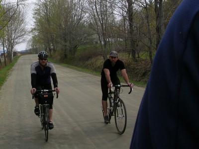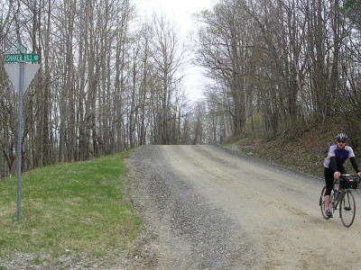
70+ miles – Mountain View out of town, Governor Chittenden Road (dirt, and a ripping descent) down to Rt. 2, Kenyon Road up and up (dirt) drop down into Richmond on the pave, then Wes White Hill (rough pave to dirt, 13% or more) along the pond into Huntington, East Rd. (up and dirt) with views of Camel’s Hump, a short stretch of pavement and then on to Shaker Mountain Road (dirt, steep, and forever), Big Hollow (dirt and a ripping descent), a bit of pave to Lincoln Hill (dirt and steep and a rolling false flat on top) to drop down into Hinesburg for refreshments and then a ‘quintessential’ Vermont stretch – Baldwin (dirt) to Drinkwater (dirt) to Prindle, to Roscoe (covered bridge / dirt) to Lewis Creek (fun descent, dirt, covered bridge) to Spear to Guinea (dirt) to One Mile Road (dirt) to Hinesburg Rd. to Ferry Rd. to Charlotte. Views of Mansfield, Camel’s Hump, the ADKs, Lake Champlain. Three major climbs, three covered bridges and 60% or more of dirt. I had an 85 mile day with ~5,700+ feet of climbing by the end.

Thanks to Jim for snapping some pics as I brought the camera but left the SD card in the laptop. And a huge thanks to the boys for letting me pace it out over the steep stuff. My first Yoga class the Saturday before took its toll… plenty of power to diesel on the rollers and the pavement – not much to deal with the steep on the dirt.

Looks like fun. Please be sure to plan out a really swell route for you and I and whoever for when I am up there in a couple of weeks.