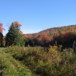
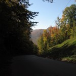
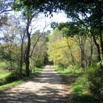
Peak color. Pave, dirt, trail. Some hike a bike too. My favorite time of year.
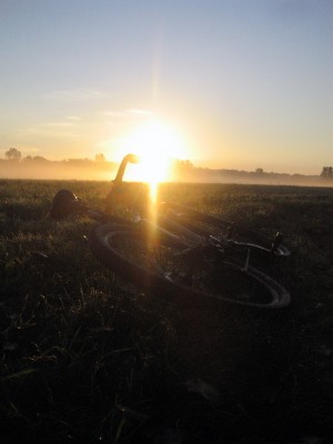
I left the house a bit later than I wanted, sipped a coffee and had some breakfast at a local cafe, then took off for higher ground. I ventured through the Intervale, enjoying a glorious and misty sunrise. Stunning, was the sky and the sun.
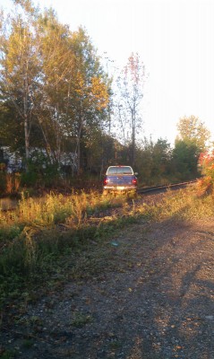
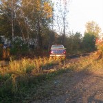
As I started to climb out of the vale to pavement, I noticed a vehicle stuck on the tracks. I’ve seen lots of bizarre things happen down here early in the morning – so I can’t say I was surprised – but it looks as if someone ‘borrowed’ the truck for a joy ride. Windows were open, with stuff left on the seats. Glove box was closed. I made sure there was no one injured (abandoned) then called 911 and was connected to local police. After a chat I continued on.
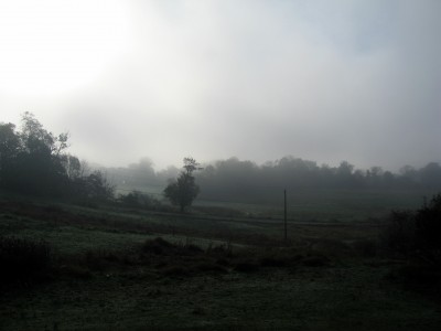
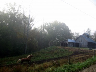
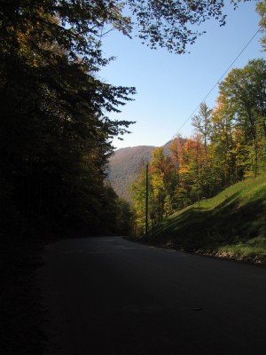
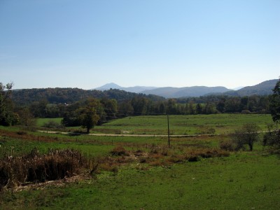
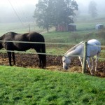
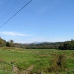
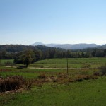
From Burlington I ventured off to Richmond via Mountain View and dropping down Governor Chittenden Rd. The Winooski River Valley was covered in a fog, and the light had a silver quality to it. No views to Camel’s Hump, but an otherworldly feeling as I hit the lower dirt road and a horse started running alongside.
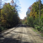
Some flat riding out of town to the east, and then I climbed Stage Rd. Wonderful dirt, steep, with only a few cars passing. I saw a Long Trail hiker emerge from the woods, heading into town.
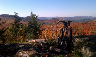
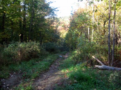
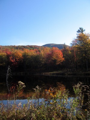
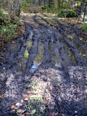
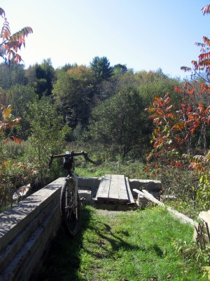
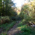
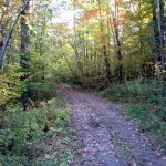
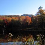
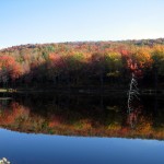
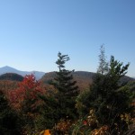
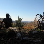
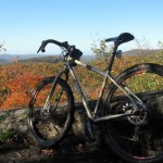
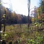
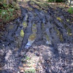
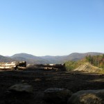
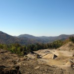
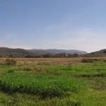
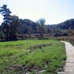
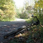
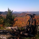
Somewhere nearing the top I turned onto a signed hiking / ski / snomo trail. Some hike a bike for the first 100′ or so, then leveling out on old double track / logging road. I skirted a small pond (north of Preston Pond), dodged some soggy trail, snapped some pics, and pressed on for the overlook.
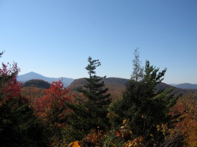
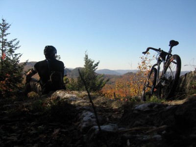
The overlook trail is a loop, connecting as a U shape to the main trail. I took the first turn for it, riding quite a ways until the roots, rocks, and gradient made it difficult to pedal. Typical of VT trails, this rolled along for a bit, then turned straight up. I’d later learn that I took the longer / harder way up… as my descent from the lookout was equally rocky and rooty, but much shorter, and I think more rideable (for me, with my limited technical mountain bike skills…)
Returning to the double track, I made my way to Notch Rd., where I had hoped to continue on to the Bolton Access Rd. via another set of trails. I was met with some serious ATV rutted double track, and upon exploring a bit found a crew clearing trees. Chainsaws running, and ATVs scurrying up the trail, I assume these folks were prepping the trail for winter snomo use.
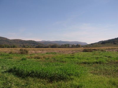
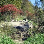
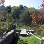
Bombing down Notch Rd. led me back to the river valley, where I made my way to the Cross Vermont Trail. This stretch follows the edge of a farm field and a dirt road. In the field it can be wet, and flooding from Irene left the bridge damaged – but it looks like repairs are under way, and the trail was firm.
I followed my path back into town – climbing up Governor Chittenden Rd. past Catamount, eventually meeting up with the family on the waterfront for a fall day out…
~60 miles
~3100′ climbing
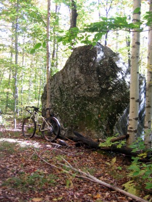
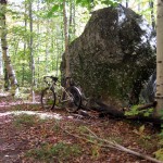
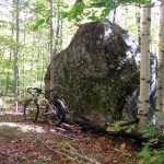
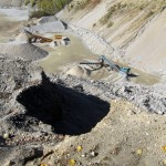
Love that glacial erratic (boulder).
twas a big stone… !
I noticed a lot of picks on the rail trail over time. Are you very far from it?
Bob,
The ‘Island Line’ trail, or Burlington Bike Path, runs along the lake the length of town, so yes, I end up on it quite a bit. Its basically a human powered thruway into and out of town.