The original plan – solo bikepacking trip to the Green Mountain National Forest for some alone time. ~100 miles or so, with some camping and exploring.
What happened:
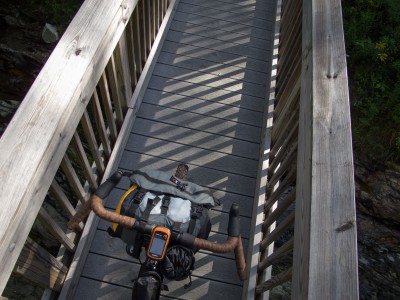
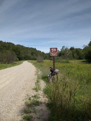
~128 miles with ~13,770 in climbing. Pave, dirt, single track, double track, and forest road. Including new to me Boro Rd (steep bastard), Forest Rd. 27 to Silver Lake (steep and rocky bastard), Chandler Ridge / Leicester Hollow single track loop (partially loaded, after I dropped the tent and sleeping bag) single track connecting Goshen Dam around the Sugar Hill reservoir to Brooks Rd., Steam Mill Rd., Natural Turnpike…
Pics on the Flickr. I will write something up when I get my head around things. I haven’t been riding much, until lately. This was certainly way bigger than where I am at…
Pretty much an incredible way to spend a day and a half.
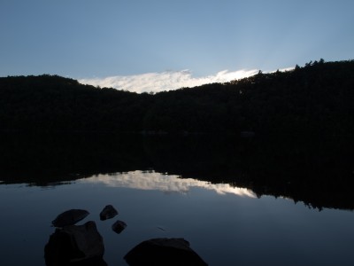
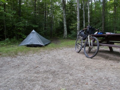
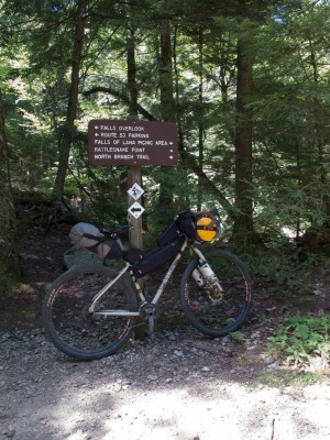
Wow, that’s quite a ride. If I made it, I’d be worthless for three days afterwards.
Wow, looks like one heck of a challenge! Would you happen to have a gpx track to share? I’m planning a similar trip for October.
Loving the Flickr set, thanks for sharing.
Looks amazing Mike! Good for you for making the time!
Looks like an amazing ride. We are looking to hit that section towards the end of Sept as part of the “xvtmbr”, any intel or gpx tracks you can share would be great.
Hi Rick,
I have some GPX tracks that I took along the way. I have to clean them up and I’ll get something to you.
There is a spring in the campground, on the east side of the lake, somewhere around site 8 or so. Marked with a sign. Noted that you should treat or boil, and they don’t test it. I was cold and clear. I treated with aqua mira, dropping it into 2 bottles and then was on my way. Some other folks were drinking right from the pipe.
Chandler ridge is pretty rugged. I did it ‘backwards’, and after riding out from Burlington. I also left tent and sleeping bag at my camp site. You guys are all way better mountain bikers than me. I was wishing for front suspension…
The connector around Sugar Hill reservoir is nice. Single / double track. Slick in some spots. Seems to stay wet back in there. Brooks Rd. is fast, downhill most of the way to 125.
-Mike
GPX here, in 3 parts.
Day 1, out to Silver Lake
http://ridewithgps.com/trips/866232
Day 1, Chandler Ridge / Leicester Hollow Loop
http://ridewithgps.com/trips/866169
Day 2, Silver Lake to BTV
http://ridewithgps.com/trips/866170