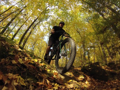
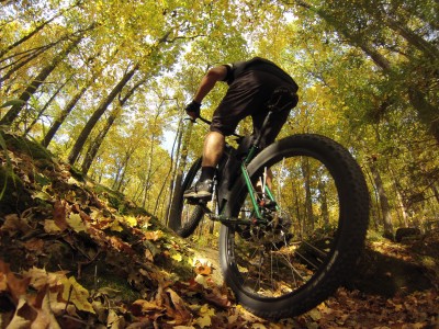
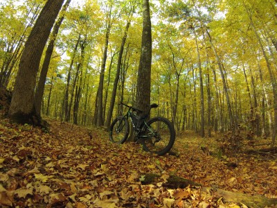
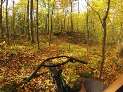
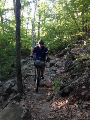
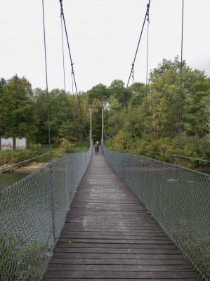
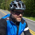
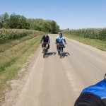
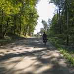
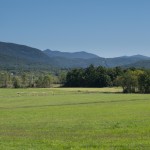
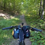
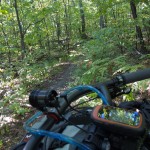
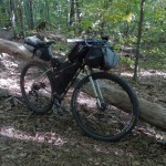
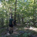
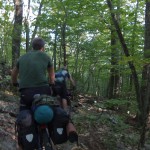
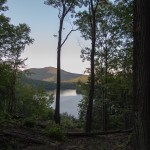
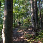
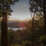
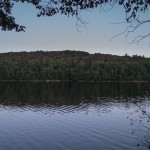
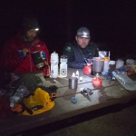
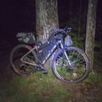
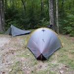
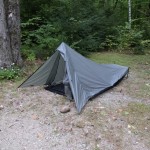
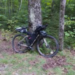
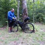
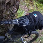
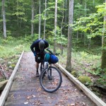
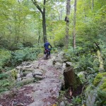
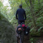
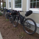
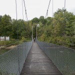
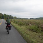
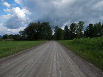
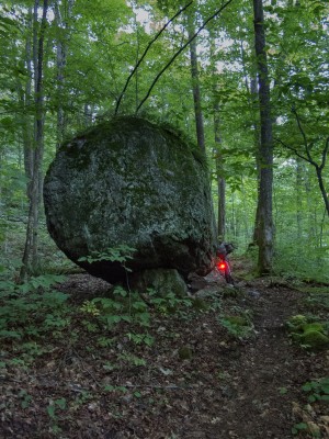
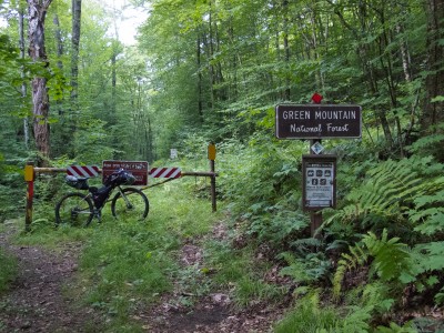
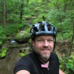
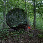
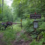
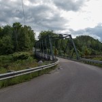
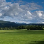
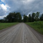
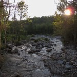
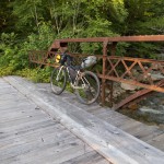
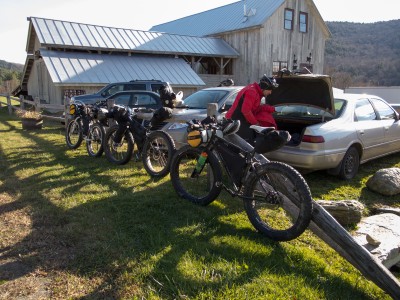
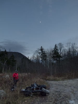
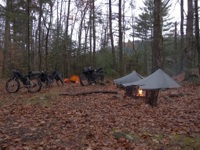
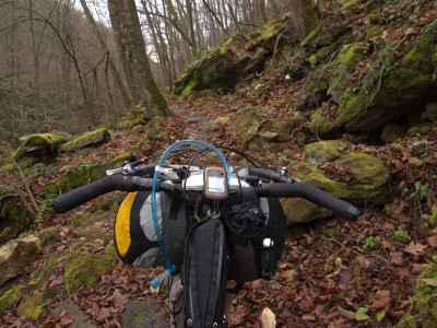
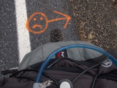
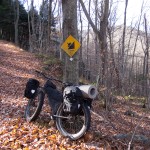
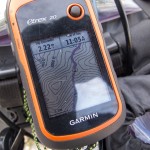
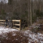
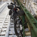
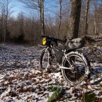
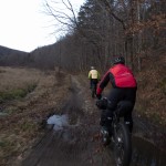
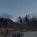
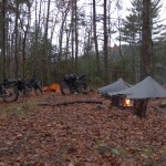
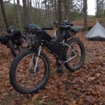
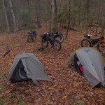
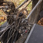
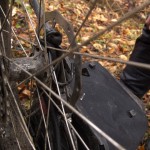
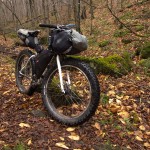
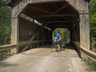
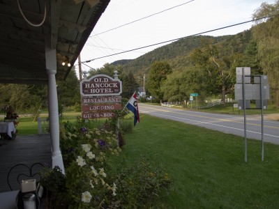
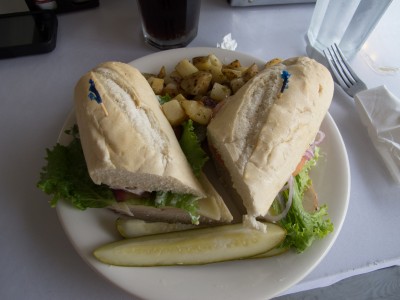
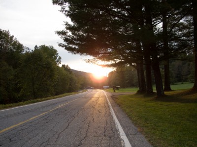
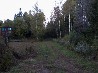
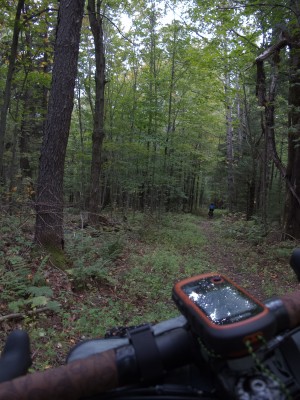
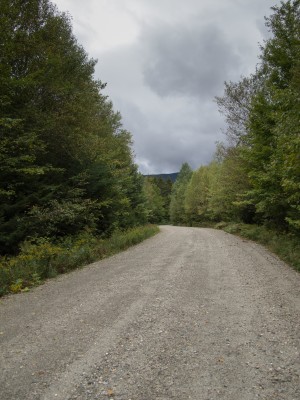
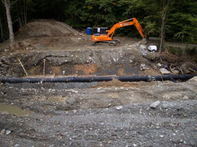
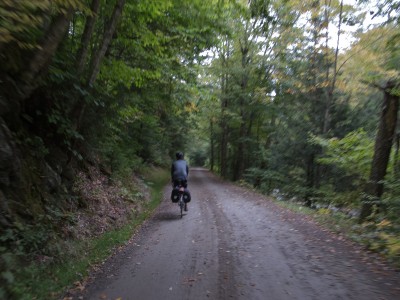
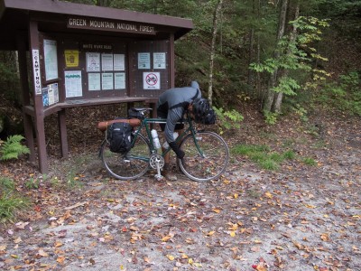
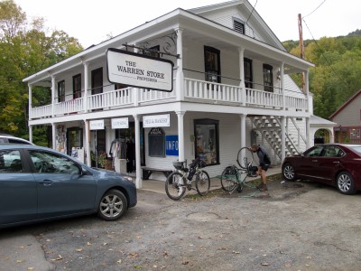
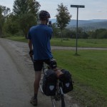
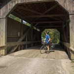
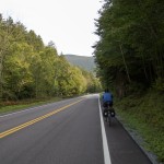
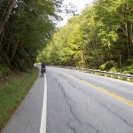
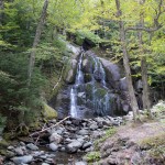
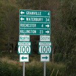
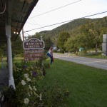
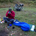
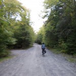
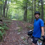
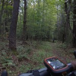
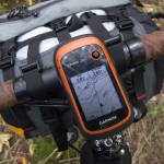
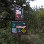
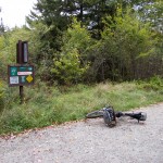
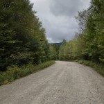
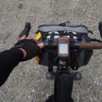
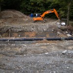
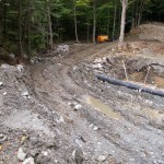
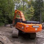
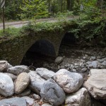
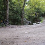
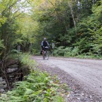
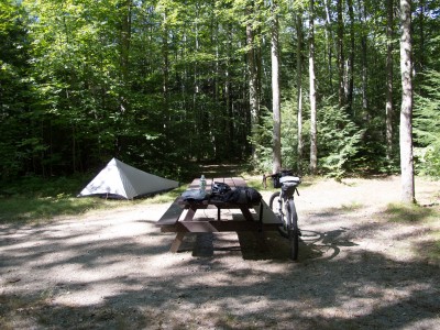
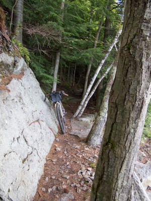
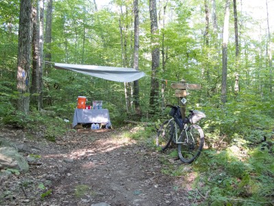
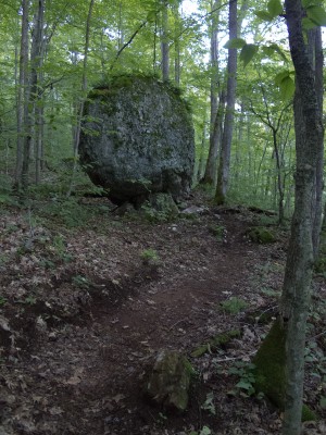
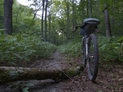
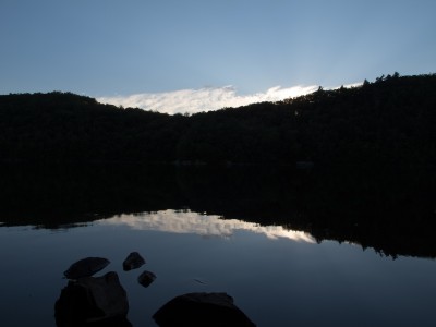
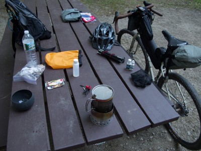
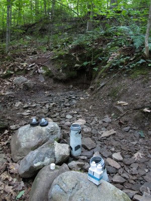
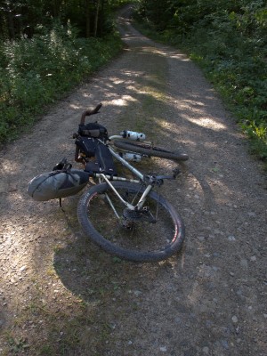
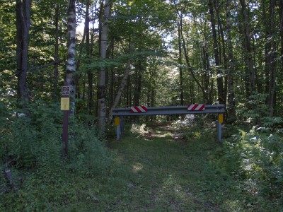
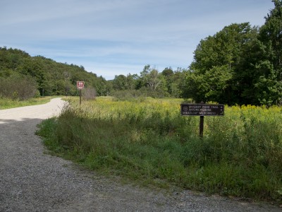
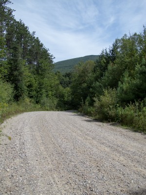
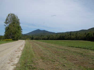
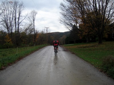
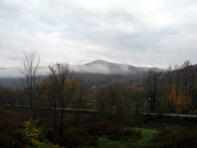
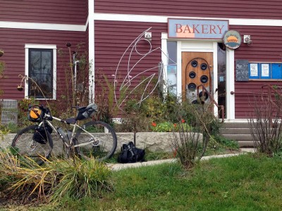
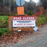
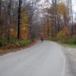
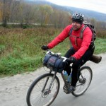
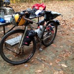
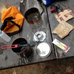
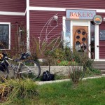
Nothing more to say at the moment. Had a blast in the woods this afternoon. The Fargo will need to be put up for sale…
Riding
Bikepacking Gear
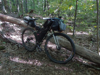
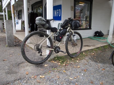
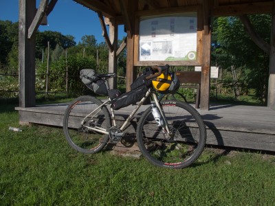
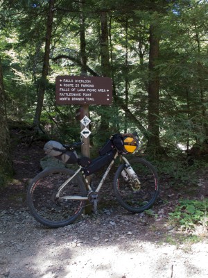
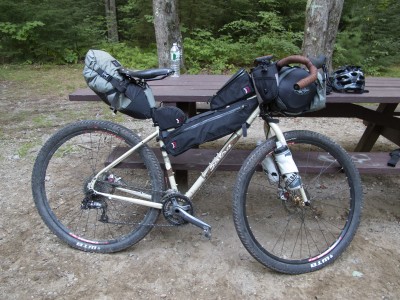
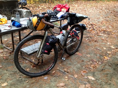
My 2012 Gen2 Salsa Fargo has gone through a number of changes, most recently swapping the Woodchippers (which I really like for dirt road / gravel / mild single track) to a Jones Loop bar, which so far has proven comfortable, and more capable riding rocky, rooty single track while loaded.
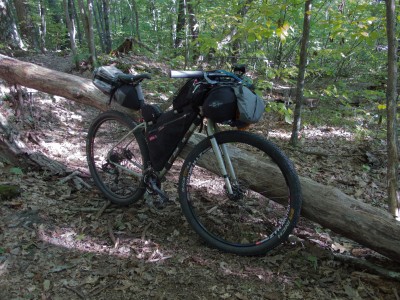
The bike is a medium and I’m running my old (pre-Revelate, long live Epic Designs!) front harness and pouch and seat bag, which were made custom for my Surly CrossCheck and IF Ti Club Racer. Once I got the Fargo I added a full frame bag, gas tank, jerry can, and feedbags. I have used the Salsa Anything cages, but don’t run them often, except when I need extra carrying capacity, or want to carry insulated Nalgene bottles up front. I run a Shimano dyno hub to power an Exposure Revo and Redeye and need to wire up the USBWerk for topping off a battery or running my Garmin, and it will keep a FenixUC40 USB topped off. In testing the USBWerk works great, and I would love to have this integrated into my kit for longer trips.
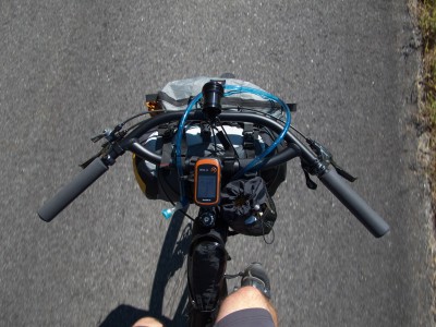
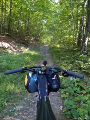
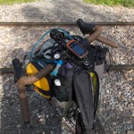
Cockpit with Salsa Woodchipper (46cm bar)
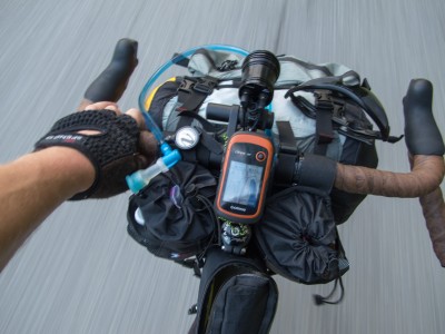
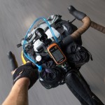
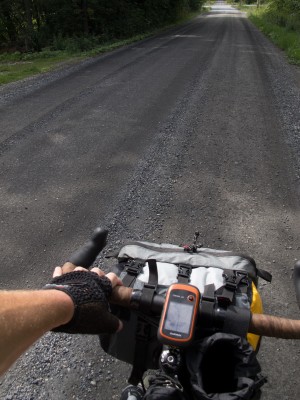
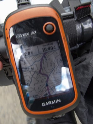
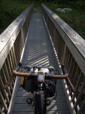
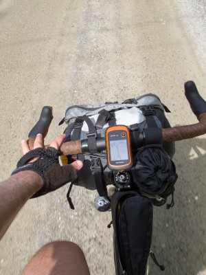
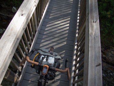
The updated cockpit is the Jones Loop bar with chunky grips (after some use I need to tape the rest of the bars). X9 trigger rear, Friction front, on a Paul Thumbie pushing a X5 triple derailer (cheap!). Garmin eTrex20, hydro tube connected to a Showers Pass Veleau reel (last way longer than the ID badge reels), feed bag (most times I run 2), Avid Speed Dial Levers (need to find something with the pinch bolt in a more comfortable location…). Gas tank with my Canon G12 and spare AA and AAA batteries. Custom harness and pouch made back in 2008 or 2009 for a dry bag.
Front is my sleep kit and sometimes camp clothes tucked into a dry bag in harness. The dry bag pops out easily and gets tossed into my tent for unpacking.
Pouch contains personal items I might need easy access to – glasses, eye drops, meds, toiletries, first aid kit, etc.
Rear bag contains tent, cook kit, clothes, food, etc.
Frame bag contains spare tube(s), tent poles, hydro bladder and Sawyer inline filter and misc stuff in the thin side pocket.
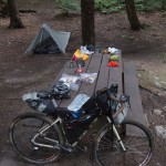
My current kit, for 3 season riding used last weekend:
(This is bordering on a luxury list for me… I brought a pillow – something that doesn’t go on longer trips as I use the space for food / extra clothes)
(no food or water included in weights)
Fargo naked with Revo and Redeye lights, dyno wheel, etc. 29#
Fargo 35.2# with GPS, hydro hose, Revo, Redeye, Lezyne pump, and on frame bags as noted below:
On bike frame bags, feed bag, gas tank and jerry can 6.2#
Frame bag
Arm warmers, gloves, folding camp saw, knife, Fenix LD22 (for helmet, night riding headlamp), vest and woolie, tent pole, tent stakes, spare tube, empty bladder, sawyer mini inline with hydro bladder
Jerry can with tools, multitool with pliers, 1 brake, 1 shift cable (tucked into sides of bag stiffener), der hanger, patch kit, fiber spoke, tire levers, spare master link
Feedbag(s) with hand sanitizer (no food for weights, but generally my road food goes here)
Gas tank with Canon G12 camera and batteries (4aa and 4aaa)
Front harness and rear saddle bag 14#
Front bag 8#
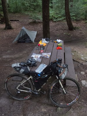
Sleeping pad, sleeping bag, pillow!, personal stuff, water purification, toiletries, headlamp, showers pass crossover tucked into harness (need to change this – lost it after this photo)
Rear bag 6#
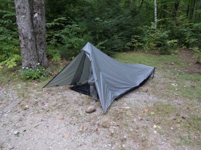
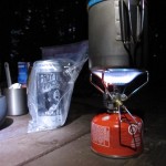
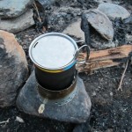
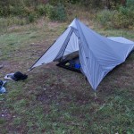
Tarptent Contrail, cook kit (Snow Peak 700 pot, double wall mug, fuel canister, Gigapower stove, matches, silicone bowl, Ti spork, bear line, carabiner, stuff sack), camp clothes (MUSA knickers, boxers for camp, Patagonia puffy jacket).
Total Kit without food / water 20.2#
Total rig without food / water 49.2#
On person – wallet, cellphone, SPOT tracker, cycling cap
Bikepacking List Fall (3Season)
Personal:
Glasses in case with cloth cleaner
Contact Case eye drops
Sunglasses
Maps / Cue card
Knife (in mesh in Feedbag)
Electronics:
GPS Garmin etrex 20 on bike
Camera canon g12
Batteries AAA and AA
Headlamp Princeton tec small thing
Fenix flashlight for helmet
Revo dyno headlight
Redeye dyno tailight
Meds:
First aid kit
Tums
Ibuprofen
TP
Shovel
Wipes
Lantiseptic
Tiny travel towel
Cook Kit:
Stove
Snow Peak Ti700 Pot
Snow Peak double wall cup (if ‘luxury’ camping…)
Ti Spork
Snow Peak Gigapower stove with Piezo ignition
MSR fuel canister
Bear (critter) bag and line with carabiner
Food:
As req’d
Hydration:
Water bladder(s)
Aqua Mira drops
Sawyer mini inline filter
Nuun tabs for flavor, electrolytes
Shelter:
TarpTent Contrail
Pole
Stakes
Sleeping bag big agnes fish hawk 30d down
Sleeping pad big agnes insulated air core
Bike Mech:
Tube
Patch kit
Tire boot
Tire levers
Pump
Multitool
Derailler hanger (if Fargo)
Brake pads (1 set)
Zip ties
Electrical tape
Chain Lube
Shift cable
Brake cable
Clothes:
Boxers
Dry gloves
Dry Socks
Patagonia puff
Rain pants or MUSA knickers
Showers Pass jacket
Thin ibex woolie
On body:
Cycling shorts
Socks
Shoes Pi x alps pro
Rapha jersey (got to be fashionable)
Thin cap
Helmet
SPOT
Wallet / iphone
Cycling gloves (if dirt road / single track)
Silver Lake Early Fall
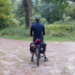
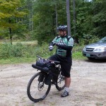
Wil, Greg and I did a S36O to Silver Lake. Road, dirt road, trail, and single track to Lake Dunmore, then we found the Minnie Baker trail and connected to Chandler Ridge. We rode the ridge as the sun was getting low in the sky, and made it to camp at dusk.
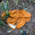
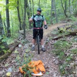
Our plan was to camp and then ride out exploring some VAST and MTB trails that connect up to Brooks Road and then ride the high dirt roads to Lincoln and Bristol. That plan changed when I realized I lost my brand new Showers Pass Crossover Jacket somewhere on the ridge trail. We checked my camera to verify I didn’t leave it in the truck, and found a spot where we thought it might have ejected. I opted to leave it, not wanting to alter the trip, and I wasn’t confident we would find it. The boys voted to not let my jacket remain lost in the woods.
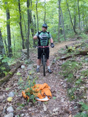
The change of plans had us riding more single track out – the Leicester Hollow trail. Wil move on ahead and ditched his camping kit and blitzed the south end of the ridge trail, back to where I thought I lost it. He found it far far away from where I thought it would be – but returned with it tucked into his jersey.
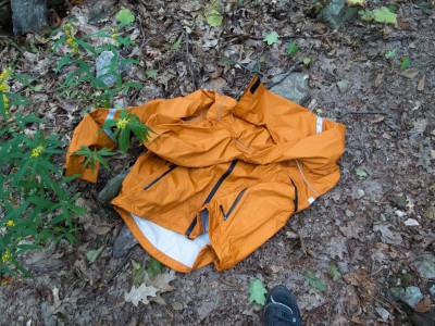
We then opted to roll into Middlebury for breakfast / lunch and not try to regain the high ground and ride our original route.
Even with the changes we had a great time. Covered ~74 miles with plenty of climbing, roots, rocks, dirt and a beautiful sunset.
S24O Silver Lake
Snuck in an S24O last weekend. Drove part way, and traversed road, dirt road, TAM (trail around Middlebury), forest road and single track to Silver Lake in the GMNF. Came into the forest service campground via the Leicester Hollow Trail – a rocky, root fun ride of single track.
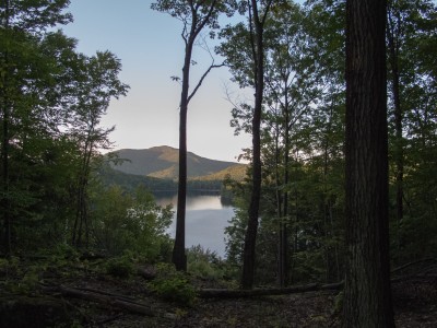
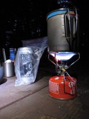
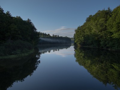
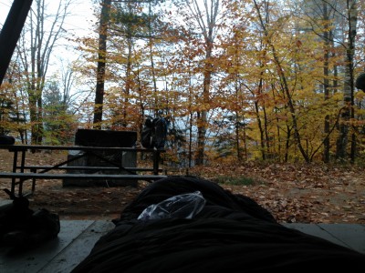
Made camp and dinner, enjoying a Heady Topper that I packed in ice for the trip. After hanging my food I tucked in for the night and listened the the loons, the owls, and the small critters that tried to steal my dinner when I got up to rearrange some gear. Awoke early and enjoyed the view of the lake, before taking off for the car.
I was going to ride out the campground road, or explore some VAST and MTB trails to VT Rt. 125, but after walking up some steep gravel decided to roll back down the Falls of Lana trail and get to Middlebury for some real food.
~70 miles round trip to the car, and I actually completed the trip within 24 hours of leaving home.
Frosty Fall Fatbike – Photodump
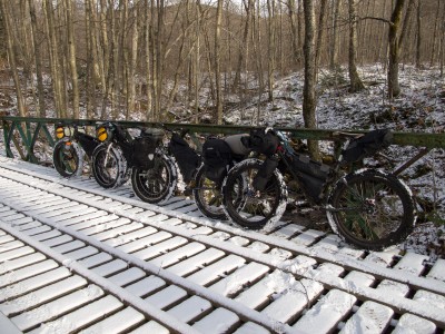
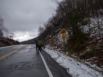
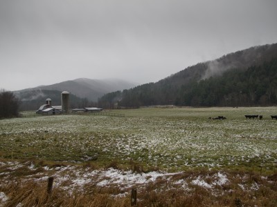
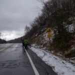
I set out with a friend and a couple of online acquaintances in early November to do a bit of late fall bikepacking. I need to write up a full trip report – but here is a photo dump from the ride. We covered 56+ miles, much of it on trail and class 4 road. Machines were all Pugsleys – a single speed, an IGH Necro, and my white 2×9 all with bikepacking bags. We also had a first generation along (the first one sold in VT) with racks and panniers.
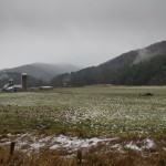
The start was in Pittsfield, VT. We crossed the Green Mountains near Chittenden Reservoir and made our way north to Silver Lake to camp, taking the Leicester Hollow trail in from the south. Fire, chatting, eating, and then sleeping as snow started coming down.
At 2am everything was white – but by 6am when I got up to start a fire everything was just wet. We left the park on the Leicester Hollow trail, which was the only dirt on the second day.
We stuck to pavement back to start, as the weather turned as we climbed Brandon Gap – we had rain and freezing rain and sleet coming down the east side.
The last 10 miles were truly a death march – I was a little sad we eliminated all the dirt and trail – but thankful to eventually be warm and dry.
Texas Gap Bikepacking
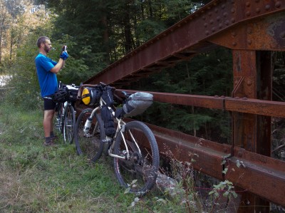
Got out this Friday – Saturday with Greg for a sub 36 hour overnight. I left BTV at about 8:30 am for a meet up in Waterbury. Traffic was a bit crazy getting out of town, and I ended up getting stuck in 3 different construction lines. I rolled on familiar roads to Richmond – taking in Governor Chittenden’s lovely dirt descent past the horse farms with views of Camel’s Hump. From Richmond I followed Cochran’s, Duxbury, and River Rd. to Waterbury, where we met up on the green. A quick snack from the food vendor in the park and we were rolling again on River Rd. towards Middlesex. We took a dirt detour up Lover’s Lane and used the abandoned bridge over the river / gorge in Moretown. Lovely view, and the rock formations were very clear with low, end of summer water levels.
We started to feel the warmth of the day on our way to Moretown, and made a stop in the general store for water and an ice cream sandwich. We pressed on south, taking the wonderful Pony Farm Rd. to avoid traffic on Rt. 100 in the valley. Pony Farm rolls along to the east of 100, is quiet, and offers some nice views to Lincoln Peak, Mt. Ellen, and a backwards glance towards Camel’s Hump. We stopped to check out the North St. bridge when the road changes its name, and then wandered into Waitsfield on pavement and a very busy Rt. 100. Seems rush hour in the valley is between 3 and 4 pm.
South of town we had enough of the traffic and stopped for a break at a gas station. Sour gummies and ice cold water hit the spot, along with a long sit in the shade. Temps hit 82 or more, and the pavement riding due south wasn’t much fun between the garbage truck that we leapfrogged about 10 times along with all the folks in a hurry. We finally had a respite as we started climbing through Granville Gulf, and the temps started to drop as we neared the ponds at the top. We found a burst of energy down the back side and made good time to Hancock where we sat for dinner at the Hancock Hotel / Restaurant. A quick stop in the general store across the street for some camp snacks and to camel up with some water (I wanted to avoid treating if we could), and we started climbing up Middlebury Gap on 125.
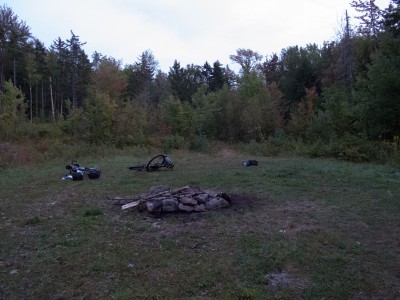
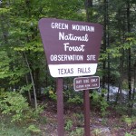
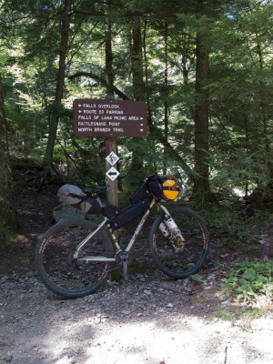
On our ascent we picked up some discarded paper and cardboard on the road and stashed it to help start a fire. We climbed to the Texas Falls entrance road, made a quick stop by the overlook, then rode further into the woods along the brook on a quiet, but sometimes steep forest road. We walked a bit of the loose rough stuff – Greg was on his Pacer with 28s and was having traction issues that he didn’t want to muscle through late in the day. A few campsites appeared close to the road, and after about ~44 miles from our meet up we found a nice meadow camp site, high up in the hills.
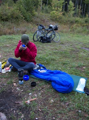
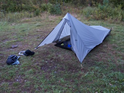
Setup went smoothly, except for the rocky ground that I had to stake down my Tarptent into. Greg hung in his Hennessy Hammock in the trees – so only had to deal with crossing a stinky / slimy ditch and clambering over downed trees. We built a fire, snacked, and gathered downed wood while watching the stars and chatting until sometime after 10, when the wind whipped up and changed direction, now blowing directly into my tent front door. I didn’t have the mental energy to re-pitch the tent, so I battened down the lines and snuggled in. I slept fitfully – feeling like the tent was trying to fly away with me on several occasions, and then listened as the rain came down for a few hours.
In the morning we made breakfast as we broke camp, packed gear and then headed north further along the forest road. We found several much nicer camp sites that we’ll keep in mind for another visit – and several areas large enough for group camping. At some point we came to the end of our road, realized we should have made a turn into the woods, and back tracked. We followed a VAST trail (marked as a 4×4 trail on USGS maps) for about 2.2 miles and crossed Texas Gap, topping out at 2200 feet in elevation. This was one of the more memorable moments – we were riding in the woods on a sometimes single track (Greg on his pacer with fenders and 28s!), far away from anywhere with the smell of fall in the air – although the leaves have only started to change – and we came upon a moose. It bolted before we could get cameras out – but it was 50-75 feet off trail from us.
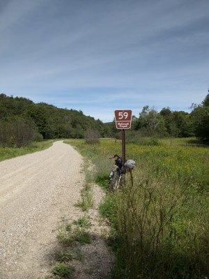
We eventually connected to a dirt road, which we hoped to follow to the valley. This of course meant climbing a bit – but it was easily graded, until we came to a missing bridge. We heard a generator running – but with no one working on a Saturday morning we clambered around and down through the construction and started our descent on West Hill Road. We had a ripping ride to the Clark Brook trailhead where we stopped to note some more campsites and Greg paused to clean the mud from his fenders. This stretch from our camp back up through the Gap and down to the valley is one of the most memorable parts of this trip. Lovely dirt roads, some trail, wildlife, and a feeling of isolation from the world.
After we reached the valley and VT 100 we made a quick stop at the Granville General store, which was celebrating its one year anniversary – so we enjoyed free coffee and donut holes. Warmed and fueled with second breakfast we started a climb back over Granville Gulf. For the rest of the ride we’d get showered on a bit – not enough to want to put on rain gear – but enough to keep the camera stowed and the arm warmers and vest on. Our return north followed most of our journey south the day before – a stop for third breakfast in Warren, then a soup stop at Red Hen for lunch as we parted ways. Greg took off for points east and home, and I arranged to meet the family in Richmond so we could get dinner and run a few errands outside of our usual haunts in Burlington proper.
~139 miles
~10,000′ in climbing
Pave, dirt, gravel, forest road, single track
camp fire, exploring, spending time with a good friend.
An excellent way to spend less than two days.
Bikepacking – Silver Lake and GMNF
I had the chance last weekend to make an S48O trip down into the Green Mountain National Forest. I have been intrigued with the Moosamaloo area for awhile – eyeing the trail and the dirt roads that I peeked when Jen did her first triathlon at Lake Dunmore. The area has legal MTB trails in the National Forest, as well as primitive forest camping and designated camp grounds. I decided to explore the Silver Lake area, and used the campground as a base.
I fussed with gear and the bike Friday night, and managed to get a GPS track loaded onto my Garmin. Getting to sleep way too late, I made a groggy start out of Burlington through the Intervale and up to Spear St. with Wil as a wingman. I decided to avoid my typical flat route out of town along the the bike path as the USA Triathlon championships were Saturday – and the run portion closed off most of the path.
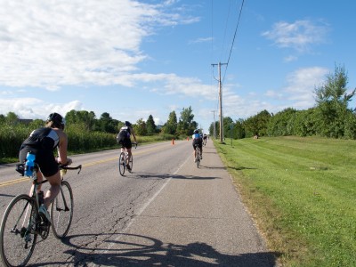
Little did I know that I’d still be crossing paths with the tri gals and geeks. Once on Spear St. I had a closed road to Shelburne, and we tucked into the group of cyclists heading out on the ride leg. Lots of cheering, lots of odd faces as I rolled by fully loaded. We dropped right into the middle of the women’s pack, and did our best to stay to the side and encourage folks. I think we pulled 18 mph out of town – fast enough so the ladies didn’t pass us like we were standing still, but still a sustainable pace this early in the morning. Those disc wheels? They are loud. At one point I thought a lady had a 2 stroke in her downtube as she revved up to climb to Irish Hill. Must be those golf ball dimples…
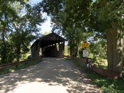
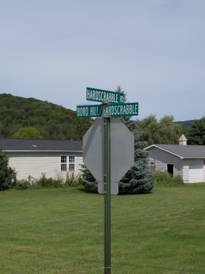
Wil turned off somewhere as we crossed into Shelburne, and I was solo for the remainder of the trip. I rode out Spear, and crossed the Lewis Creek covered bridge, then followed Covered Bridge Road into Charlotte and Monkton. I planned to ride as much dirt as I could – some familiar, some new. A left on Hollow Rd. (paved, but I never really new how pretty the scenery was) and I crossed over to Boro Hill Rd. Anything with ‘Hill’ or ‘Mountain’ in it should give pause. Especially if it is dirt and loose gravel. Boro did not disappoint – GPS and TopoFusion show 10-14-17% grade for the first half mile, then a tapering, rolling top about 1.5 miles long that still went up, followed by a ripping descent with a decent view of the mountains to the south. I climbed that first half mile at about 2.8 mph, until a dog came out of nowhere and I sprinted for the KOM jersey.
From there it was Hardscrabble, East, and Munger, where the chirping from my rear brake finally drove me to stop and investigate. I dreaded pulling the wheel – but upon inspection it seems that somehow the return spring (Avid BB7) had dropped into the pads. I threw my Leatherman with pliers into my kit at the last moment and I was glad I did… wriggling the plier tips in to just grab the spring, and pop it back into place.
A few twists of the adjustment knobs and I was rolling again, on to 116 into East Milddlebury, where I had lunch from the convenience store. Coke, Fritos, and a cold turkey sandwich hit the spot. When I was headed in to re-up my water, a roadie doing a double gap and I started chatting in line and he ended up buying a gallon of water that we split. Topped off, I took the back (and upper) way to Lake Dunmore – up 125 a short ways, then Lower River Rd., Beaver Pond Rd., and Upper Plains Rd. I made a quick stop at the Kampersville and loaded up on water and grabbed some food for the night. Silver Lake was listed as having no water available – so I carried an extra 3 liters up to camp. (I had Aqua Mira with me, but wanted to minimize any screwing around with lake water).
My original plan was to ride to the south end of Lake Dunmore, and then either ride up the Minnie Baker Trail, or come up the Brandon Gap Rd. and explore Silver Lake from the south, riding on the Leicester Hollow Trail. Due to it being a nice weekend and there being an ultra trail run in the area – I wanted to be sure to either get a campsite – or know that I needed to find one as I explored. I decided to head up the Falls of Lana Trail, drop my tent and sleep stuff if I could get a site, and then explore further south after a rest.
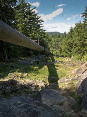
From Kampersville (watch out for the creepy squirrel) I took off south and started looking for the Falls of Lana Trail. I found the parking area, and then headed uphill, immediately turning into a hike-a-bike under the pipe. Surely this wasn’t the forest road I was looking for – so after listening to the water falls for a bit I clambered down with my bike, and took off further south on the road.
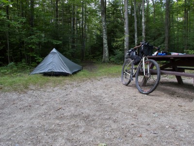
I eventually found FR 27, and a woman walking her dog pointed me back up the road 50 ft. where I missed the gated entry. I walked the first pitch from the road, and then found quite the climb ahead of me. Switchbacks, loose rock, sand. Double digit grades in parts, and about 700′ in 1.5 miles up to the lake, where a wonderful USFS steward greeted me and offered me a seat at his table, and wondered why I was so out of breath. We chatted for a bit, and he suggested a few quiet spots. I rolled out down the east side of the lake and took #4, a short walk to the water, a picnic table, fire ring, and a nice flat spot for my tent. As I explored for my site I was surprised that there were pit toilets, picnic tables, and fire rings. Not exactly what I was looking for – but I didn’t complain. Free camping, first come first serve, in a clean park. After 54.5 miles I took a pause, setup camp, snacked, and rested a bit.
After sorting a bit of gear I took off on the Chandler Ridge / Leicester Hollow Loop – 8.6 miles of single track. I did this counter clockwise, and Chandler Ridge had to be one of the hardest efforts to date on a bike. Lots of hike a bike – interspersed with some pretty sweet riding single track. Which would come to a halt as the roots and the rocks took over, and I would dismount and hike again. I can see the amount of work that went into this trail – long bench cut sections, armoring, switchbacks – but its appeal was lost on me – likely as I was near fried with my efforts earlier in the day – as well as being on a rigid, drop bar bike. Someday I’ll have to go back with the Pugsley and see if I like it better… or bring the Fargo with a fresh mind and set of legs.
As the sun started moving lower in the sky, and I started moving ever slower on the trail – I worried that I’d be in the Hollow after dark, especially if the return trail was as technical as Chandler Ridge. I did a quick sweep of my bags and couldn’t find my headlamp. I was also running low on water – I set out with maybe 1.5 liters on my back… and it was dry as I came down to Minnie Baker.
Which was when I stumbled into some very nice, very friendly volunteers for the Moosamaloo Ultra Trail Run. They were packing up their aid station and offered me water and food. I snagged a Pepsi for camp, topped off water, and had a banana. I then rolled in on the hollow trail – a mix of armored rock re-routes and smooth single track following the brook. I rode most of the trail, dismounting for the steep re-route sections over fist sized rocks. The last few miles on the south end of Silver Lake were fast and fairly flat. I cruised into camp with plenty of daylight left, and immediately setup my stove and cook kit for dinner.
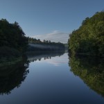
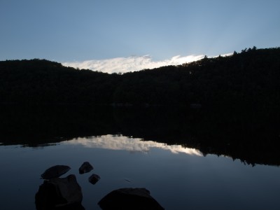
I cooked up some dehydrated vegetarian black bean soup that was passable as a meal, then downed the balance of the snacks I had from earlier in the day, including that Pepsi I snagged from my trail angels. Relaxed, I snapped some photos sitting aside the lake as the sun crept behind Chandler Ridge.
I put up my food in a hang, and sent my Wingnut up with it, along with my bottles, bladder, and any other miscellaneous food. I would normally leave the backpack down – but my neighbors returned from a hike to find one of their backpacks chewed through by chipmunks or squirrels. I turned in early, being pretty tired from my journey thus far, and from lack of sleep the night before (something I never seem to avoid before a big ride…) Sleep came in fits – lots of noise from other campers down the lake, the sounds of powerboats coming up from Lake Dunmore, and the loudest chipmunks I’ve every experienced – chirping away at each other. I figured they got into my pack – but morning proved my provisions were safe and sound. Perhaps they were stymied by the slick Dyneema I used? Or they were just out to wreck the peace…
Sometime around 2am I got out to empty my bladder. The stars were incredible overhead – no moon, and the Milky Way clearly visible. I navigated by iPhone – as that headlamp I wanted to find up on the ridge was sitting on my bench at home, with the rest of my lighting kit. I had thought about taking some star images, even had the camera setup on the tripod ready to go inside the Contrail with me… but with lack of light and being pretty beat I crawled back into my sack and slept until first light.
Morning of day 2 I made use of one of the relatively clean self contained outhouses. Dressed into riding gear, and put the stove on. While water for oatmeal and coffee boiled I broke camp, getting everything packed up and ready to go. Starbucks VIA, oatmeal, and a left over pop tart were to fuel my morning. I stopped at the spring that the ranger told me about and topped up my bottles – dropping in some Aqua Mira just to be sure, although it was likely fairly safe, this high up the ridge.
I bid the NF Ranger goodbye on the way out, snapped a few pics of the lake from the north end, and took off out the campground road. The first quarter mile was pretty steep and loose – so I warmed up by pushing the bike, then had a pleasant forest road that climbed and climbed out to Goshen-Ripton Rd.
I turned north, passed the Blueberry Hill Inn where ultra runners were staging their suitcases and car rides, and was nearly hit head on by a speeding red Honda coming over a blind hill / turn. Scared the crap out of me, and its likely they never even saw me – not even a hint of slowing as they crested the hill. As the adrenaline rush wore off I found my turn to the Sugar Hill Reservoir on Goshen Dam Rd., and followed it to the single track that would connect me high up on Brooks Rd. The trail was double track at first, then petered out to single track. It was wet in places, with lots of small water bars coming across. Splashy in some spots, slimy in others. I managed to ride most of the trail save a few turns that were a bit too steep to keep traction to the rear wheel.
I eventually found the eastern terminus, where the Sucker Brook Trail heads uphill to the Long Trail and a shelter. I turned north, across a tight footbridge, and then bombed down Brooks Rd. I popped out near the Breadloaf campus on 125, adjusted some gear and layers, and found Steam Mill Rd.
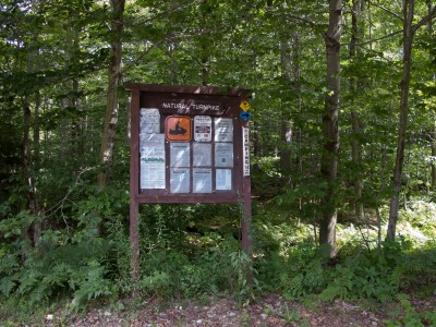
Steam Mill Rd. took me up up and up again, gaining back all the elevation I had lost coming down Brooks Rd. I passed numerous xc ski trails, snow mobile trails, and a few hiking pull offs. At this point I stripped my knickers and added some Lantiseptic to my bottom, switched into shorts, ditched my vest, and had a snack. As I was sitting on the hillside along the road came two cyclists on hybrids, baskets on the front, gray hair flowing from under their helmets. I mumbled a hello with Clif bar stuffed in my mouth, then packed up to follow them. By the time I was rolling I could barely see them 1/4 mile away over the next rise, and only caught up to them at the intersection of the Natural Turnpike. We exchanged waves and I turned north, and up, towards South Lincoln.
Along this fairly remote stretch I was passed by one car, heading to opposite direction, and saw another truck off in the ditch, with the owners spotting something off in the field with binoculars. I heard multiple gun blasts as I rode along. Not sure if people were practice shooting… or what.
At about 19 miles into my day I topped out at 2100′ and began a descent into South Lincoln. The gravel / dirt was in great shape save for a few chunky parts where I got caught out on the wrong side of the road with a mound of gravel between me and the right side. I descended quickly but cautiously and found my way to the relatively flat expanse of farms along side the New Haven River, which I would follow down nearly to Bristol.
Once hitting pavement my descent was not as fast as I’d hoped – a strong headwind wanted to push me back up into the mountains – so I worked to maintain 16-17 mph when I should have been moving along effortlessly at 22-25. I was aiming for the Bristol Bakery and Cafe (a control on our spring 200k) for lunch, and would arrive at about 12:30, just before a crowd walked in. I snagged a coffee, homemade pound cake, a breakfast sandwich, and a berry smoothie. I sat outside and watched as clueless patrons let their dog (tied to their table) block just about all of the sidewalk. People on the street were not amused, some stepping over, some around, and some setting foot into the street, all while casting glances at the couple sitting over their laptops, blissfully unaware.
Bristol appears to be a motorcycle magnet – and today there were more ‘bikers’ out front on the street than perfectly matched Quebecois cycling couples. More swearing than French today, and a pack of Harley’s ‘loud pipes save lives’ ripped up Main St. and sent the dog cowering for cover under the table. Access problem now solved for the next batch of pedestrians.
It was getting hot in the sun, so I sun screened up, adjusted bottles and fluids, and took off for home. I was about halfway done for the day, and technically, it is all downhill to Burlington… I just had to go over some speed bumps along the way. I had a flatter route than day one mapped on my GPS, but decided that baking in the sun wouldn’t be fun – so I followed my route in reverse to keep to quiet roads (most of them dirt) and the shade. Boro Hill Rd. wasn’t as steep in reverse – but it is still intimidating to see a swath of gravel what looks to be vertical rise up in front of you. I ground my way over the top, then pave and dirt to the Lewis Creek Covered Bridge and Spear St. for the ‘ride of shame’ back into town. Thankfully I was only passed by a single roadie on this popular out and back for local Burlington cyclists… everyone else was heading south, and for the first time ever on this road I think I had 90% of them waving, nodding, or acknowledging my presence. Bizarre.
I found my way through town, and picked up the lakefront path to finish my ride. Dog walkers and roller bladers seemed to be on their best behavior, and I only had to raise my eyebrows at one couple tucked into their aerobars going far too fast weaving in and out of kids on scooters and parents with pooches. Safely home I dropped gear in the basement, unpacked my tent and bag for an air out, and threw some food on the stove.
~128 miles
~13770′ in climbing
Pave, dirt road, gravel, forest road,
single track, double track, hike-a-bike
Camping, exploring
GPX Files:
Day 1
Chandler Ridge, Leicester Hollow Loop
Day 2
A lovely way to spend <48 hours. [gallery link="file" columns="2" orderby="post_date"]
Silver Lake Bikepacking
The original plan – solo bikepacking trip to the Green Mountain National Forest for some alone time. ~100 miles or so, with some camping and exploring.
What happened:
~128 miles with ~13,770 in climbing. Pave, dirt, single track, double track, and forest road. Including new to me Boro Rd (steep bastard), Forest Rd. 27 to Silver Lake (steep and rocky bastard), Chandler Ridge / Leicester Hollow single track loop (partially loaded, after I dropped the tent and sleeping bag) single track connecting Goshen Dam around the Sugar Hill reservoir to Brooks Rd., Steam Mill Rd., Natural Turnpike…
Pics on the Flickr. I will write something up when I get my head around things. I haven’t been riding much, until lately. This was certainly way bigger than where I am at…
Pretty much an incredible way to spend a day and a half.
Fall Bikepacking
Wil and I took a quick overnight tour from Burlington through the Cotton Brook with a lean to bivy in Little River State Park. We left BTV later than expected Saturday afternoon, rolling out of town in spotty showers on familiar roads to Richmond and then on to Waterbury.
We had a heat lamp dinner at the Waterbury Mobil as the sun disappeared from the cloudy, dreary sky before rolling up a dark ~6 miles on busy VT 100 to Moscow. In Moscow we turned up Cotton Brook Rd., passed through the gate, and onto the double track logging road. It was well after dark, and we worked our way up and through ~10 miles of forested double track, to where we thought a mountain bike connecting trail was located. The climb was steep in places, rolling in others. We gained 1000 feet over a few miles, and I found myself hiking quite a bit. Tired, the rain luckily stopping, the ground wet and covered with leaves, and my stomach now protesting my dinner.
We eventually found a trail, closed to bikes, that was posted for snowmo, hike, and ski. We ventured (up again!) on foot a bit – but found it rather disagreeable for riding. We then rode the double track to its end, passing another turn to connect back to where we started, and eventually settled on a trail following the reservoir. After a bit of smooth single track Wil hit the brakes hard in front of me, calling out that there was wildlife in the trail. A porcupine (appropriate, as I think we were heading to Hedgehog Hill Trail) was ambling down the trail. We kept our distance and walked along behind until it wandered off to the side and climbed a tree. For the balance of this section every time I’d stop I’d swear there was something following me. I kept hearing a ‘brush brush’ in the vegetation, with nearly every step. Looking around with my headlamp I would see nothing. This went on for quite a bit, with no clear idea of what was going on.
Some rolling single track with dark views into the abyss of the reservoir to our left brought us to a trail junction. We both knew about where we were – but we both had different ideas on how to get to the campground. Wil wanted to head uphill on some double track, which would lead to the Dalley Loop trail, very rideable double track down to the campground. I wanted to head straight down, walking if needed.
At this point I was really feeling it. Tired. Stomach far worse off. Cold but not miserable. And really looking forward to a fire, warm socks, and some food. Wil didn’t even want to walk down – as he felt the trail was sketch in the daylight. So, after some disccussion, and imagining we were miles and miles away from anywhere on the TD route, we opted for more adventure – easily adding 4+ miles to our trip. Upon starting to roll out Wil noticed something caught up in my rear wheel. The mystery follower! A 6′ long piece of bailing wire was wrapped in behind my cassette, around my wheel, and into my brake. Its amazing that I had ridden for so long without the wheel locking up. It took us about 10 minutes to get it all untangled. We walked a bit uphill, then jumped on to ride. Wil disappeared over the top, and I fell over, cranks locked up. Another round of messing with my wheel – my rear derailer was jammed all up. Nothing moving forward or back. After a few minutes of cursing I was rolling again. Up some more, past old foundations and a cemetery, and finally to a trail junction. A left turn and some wonderful double track downhill, with both helmet and bar lights on high to pick out the water bars, and we were at the campground road. A short paved ride up and around the loop and we were picking out a lean to.
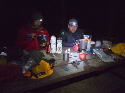
~57 miles from home, about 10:40 pm, and we finally stopped moving. We covered pavement, dirt road, single track, double track, way finding, rain, slippery leaves, and wildlife. Now it was time to warm, rest, eat, and sleep. I set out to build a fire. Wil made a backpacking dinner, I ate some cookies procured at our gas station stop and tried to re-hydrate. After a bit of coaxing we had a roaring warm fire, which dried our socks and warmed our cores. We stayed up way too late watching the stars and not wanting to leave the warm fire. Sometime after 1am I settled into my bag. A fitful sleep ensued – my stomach continued to protest, and Wil’s homemade Tyvek bivy sounded like an army of cats were chasing yarn balls inside FedEx packages all night…
Eventually my stomach settled and I drifted off to sleep. I awoke late (for me), put on water for oatmeal and coffee, and began packing up.
Chilly, getting into riding clothes, but much warmer than the last time I was here, so no morning fire was needed. We rolled out down the campground road – bundled in all the clothes we had for the descent. A quick breakfast in Waterbury, and then a wholesale gear rearrangement for me, and we were rolling home. Dirt and paved roads to Richmond, where I needed a warmup and calories. We parted ways at the Village Cup. I mentally regrouped from my slow morning and lack of sleep, Wil powered on home.
After calibrating my caffiene and calories, I took off through Johnnie Brook and up Governor Chittenden Rd., then the drag through Vermont semi rural suburbia back home. We totalled ~98 miles in the two days, tested out gear, pushed into the night, and generally had a great time.
