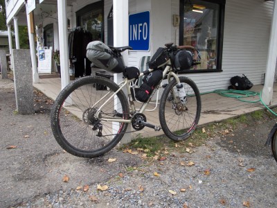
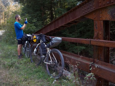
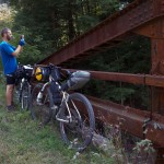
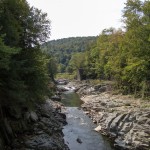
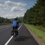
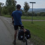
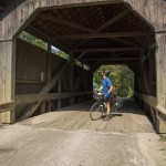
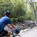
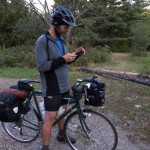
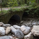
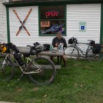
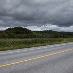
Got out this Friday – Saturday with Greg for a sub 36 hour overnight. I left BTV at about 8:30 am for a meet up in Waterbury. Traffic was a bit crazy getting out of town, and I ended up getting stuck in 3 different construction lines. I rolled on familiar roads to Richmond – taking in Governor Chittenden’s lovely dirt descent past the horse farms with views of Camel’s Hump. From Richmond I followed Cochran’s, Duxbury, and River Rd. to Waterbury, where we met up on the green. A quick snack from the food vendor in the park and we were rolling again on River Rd. towards Middlesex. We took a dirt detour up Lover’s Lane and used the abandoned bridge over the river / gorge in Moretown. Lovely view, and the rock formations were very clear with low, end of summer water levels.
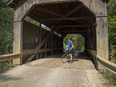
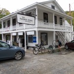
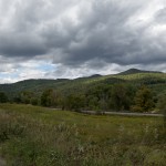
We started to feel the warmth of the day on our way to Moretown, and made a stop in the general store for water and an ice cream sandwich. We pressed on south, taking the wonderful Pony Farm Rd. to avoid traffic on Rt. 100 in the valley. Pony Farm rolls along to the east of 100, is quiet, and offers some nice views to Lincoln Peak, Mt. Ellen, and a backwards glance towards Camel’s Hump. We stopped to check out the North St. bridge when the road changes its name, and then wandered into Waitsfield on pavement and a very busy Rt. 100. Seems rush hour in the valley is between 3 and 4 pm.
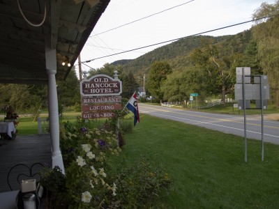
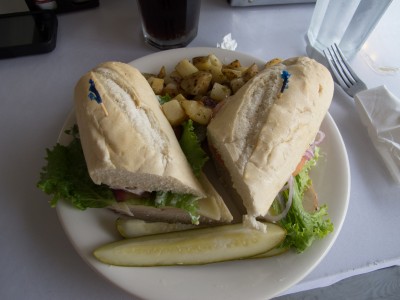
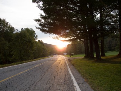
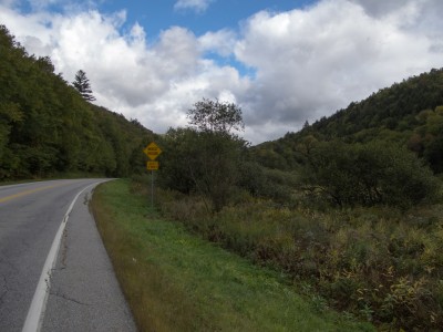
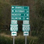
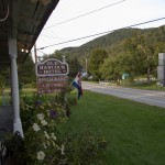
South of town we had enough of the traffic and stopped for a break at a gas station. Sour gummies and ice cold water hit the spot, along with a long sit in the shade. Temps hit 82 or more, and the pavement riding due south wasn’t much fun between the garbage truck that we leapfrogged about 10 times along with all the folks in a hurry. We finally had a respite as we started climbing through Granville Gulf, and the temps started to drop as we neared the ponds at the top. We found a burst of energy down the back side and made good time to Hancock where we sat for dinner at the Hancock Hotel / Restaurant. A quick stop in the general store across the street for some camp snacks and to camel up with some water (I wanted to avoid treating if we could), and we started climbing up Middlebury Gap on 125.
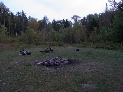
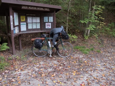
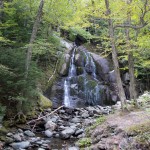
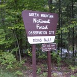
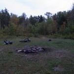
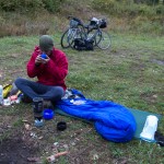
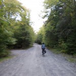
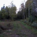
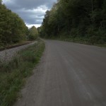
On our ascent we picked up some discarded paper and cardboard on the road and stashed it to help start a fire. We climbed to the Texas Falls entrance road, made a quick stop by the overlook, then rode further into the woods along the brook on a quiet, but sometimes steep forest road. We walked a bit of the loose rough stuff – Greg was on his Pacer with 28s and was having traction issues that he didn’t want to muscle through late in the day. A few campsites appeared close to the road, and after about ~44 miles from our meet up we found a nice meadow camp site, high up in the hills.
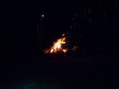
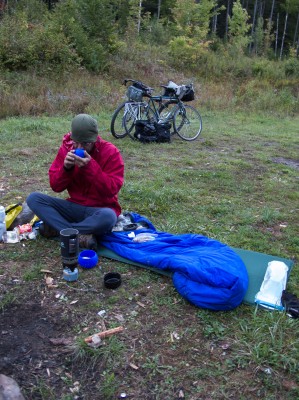
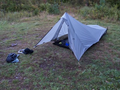
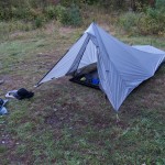
Setup went smoothly, except for the rocky ground that I had to stake down my Tarptent into. Greg hung in his Hennessy Hammock in the trees – so only had to deal with crossing a stinky / slimy ditch and clambering over downed trees. We built a fire, snacked, and gathered downed wood while watching the stars and chatting until sometime after 10, when the wind whipped up and changed direction, now blowing directly into my tent front door. I didn’t have the mental energy to re-pitch the tent, so I battened down the lines and snuggled in. I slept fitfully – feeling like the tent was trying to fly away with me on several occasions, and then listened as the rain came down for a few hours.
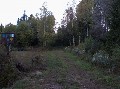
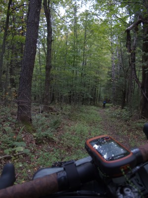
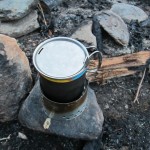
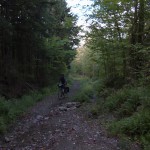
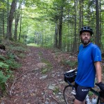
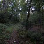
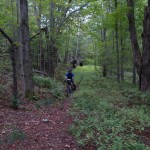
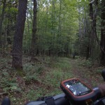
In the morning we made breakfast as we broke camp, packed gear and then headed north further along the forest road. We found several much nicer camp sites that we’ll keep in mind for another visit – and several areas large enough for group camping. At some point we came to the end of our road, realized we should have made a turn into the woods, and back tracked. We followed a VAST trail (marked as a 4×4 trail on USGS maps) for about 2.2 miles and crossed Texas Gap, topping out at 2200 feet in elevation. This was one of the more memorable moments – we were riding in the woods on a sometimes single track (Greg on his pacer with fenders and 28s!), far away from anywhere with the smell of fall in the air – although the leaves have only started to change – and we came upon a moose. It bolted before we could get cameras out – but it was 50-75 feet off trail from us.
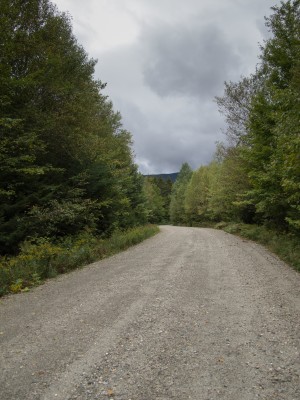
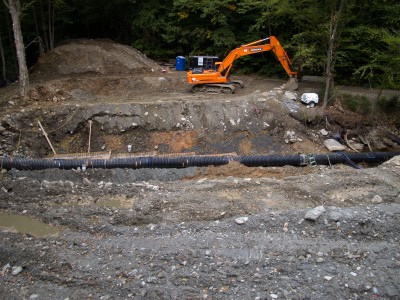
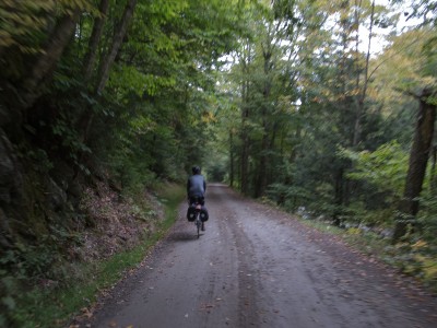
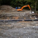
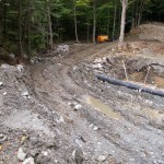
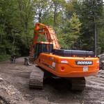
We eventually connected to a dirt road, which we hoped to follow to the valley. This of course meant climbing a bit – but it was easily graded, until we came to a missing bridge. We heard a generator running – but with no one working on a Saturday morning we clambered around and down through the construction and started our descent on West Hill Road. We had a ripping ride to the Clark Brook trailhead where we stopped to note some more campsites and Greg paused to clean the mud from his fenders. This stretch from our camp back up through the Gap and down to the valley is one of the most memorable parts of this trip. Lovely dirt roads, some trail, wildlife, and a feeling of isolation from the world.
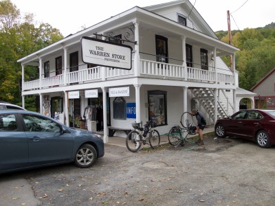
After we reached the valley and VT 100 we made a quick stop at the Granville General store, which was celebrating its one year anniversary – so we enjoyed free coffee and donut holes. Warmed and fueled with second breakfast we started a climb back over Granville Gulf. For the rest of the ride we’d get showered on a bit – not enough to want to put on rain gear – but enough to keep the camera stowed and the arm warmers and vest on. Our return north followed most of our journey south the day before – a stop for third breakfast in Warren, then a soup stop at Red Hen for lunch as we parted ways. Greg took off for points east and home, and I arranged to meet the family in Richmond so we could get dinner and run a few errands outside of our usual haunts in Burlington proper.
~139 miles
~10,000′ in climbing
Pave, dirt, gravel, forest road, single track
camp fire, exploring, spending time with a good friend.
An excellent way to spend less than two days.
